
Place · 1.4 mi away
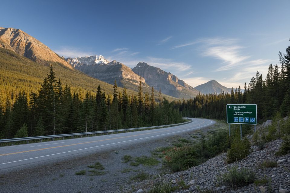
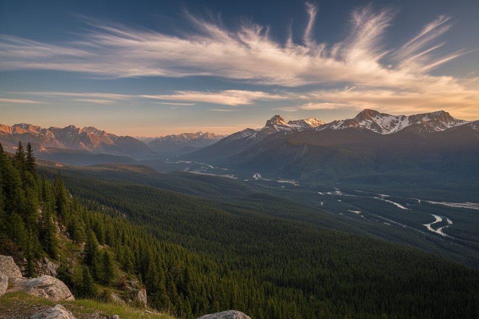
This roadside stop straddles the Alberta–British Columbia border at the exact Continental Divide, where raindrops choose the Pacific or the Atlantic. It’s a classic pull-in for a stretch, a photo at the monument, and a quick lesson in local geology and park history.
The big draw is simple and fun: stand with one foot in each watershed (and each province). Clear interpretive panels explain the significance of the Divide and the surrounding landscape, so it’s a great family-friendly learning moment without committing to a long hike.
Two short Fireweed Loop options (about 0.5 km and 2 km, minimal elevation) begin at this area. The trails weave through forest and feature interpretive signage about a major 1968 wildfire and the ecology that followed. If you’ve been driving the Banff–Windermere corridor, these loops are perfect for loosening up the legs.
Expect a straightforward day-use setup: parking, picnic tables, and basic restrooms (outhouse-style). There’s no drinking water, food, or gas, so come prepared. It’s a stop measured in minutes, not hours, unless you add the Fireweed Loops.
This corridor can host elk and deer, with the possibility of black bears or grizzlies in spring and summer. Mountain birds are common. If you wander the trails, carry bear spray and make noise.
Drop by in the morning or late afternoon for softer light and fewer cars. Midday can see quick turnover from road-trippers and occasional tour buses. The site is accessible year-round, though snow can limit facilities in winter. Most travelers spend 10–30 minutes unless they add a short loop.
You’re on the boundary between Banff and Kootenay National Parks; a Parks Canada pass is required to explore facilities and trails in this corridor. Use caution when re-entering Highway 93—traffic moves fast.
Place · 1.4 mi away
Place · 2.3 mi away
Place · 2.8 mi away
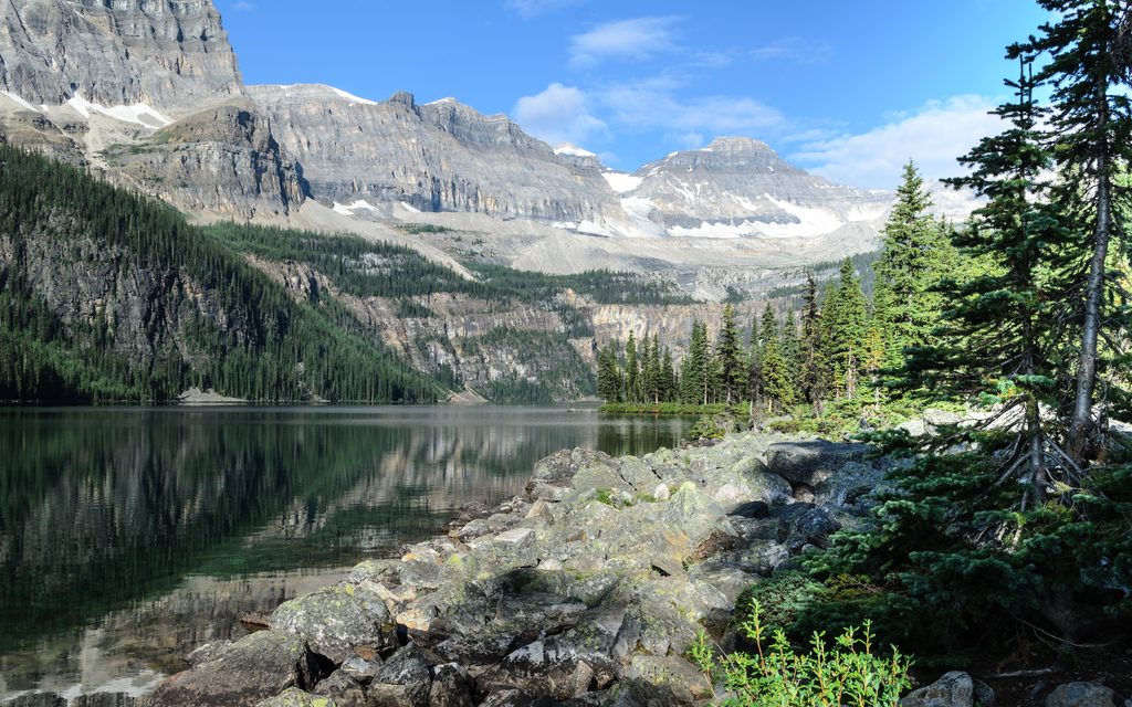
Place · 3.5 mi away
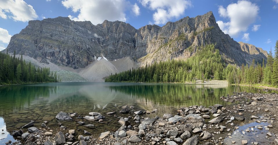
Challenging · 1.4 mi away
Easy · 1.8 mi away
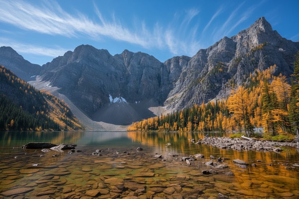
Moderate · 2 mi away
Moderate · 6.1 mi away

Parkwolf Tour Guide
