Parking
Use the parking lot at Central Park, where parking and washrooms are available near the trailhead. Spaces can fill on busy days; follow posted town parking signs and restrictions.
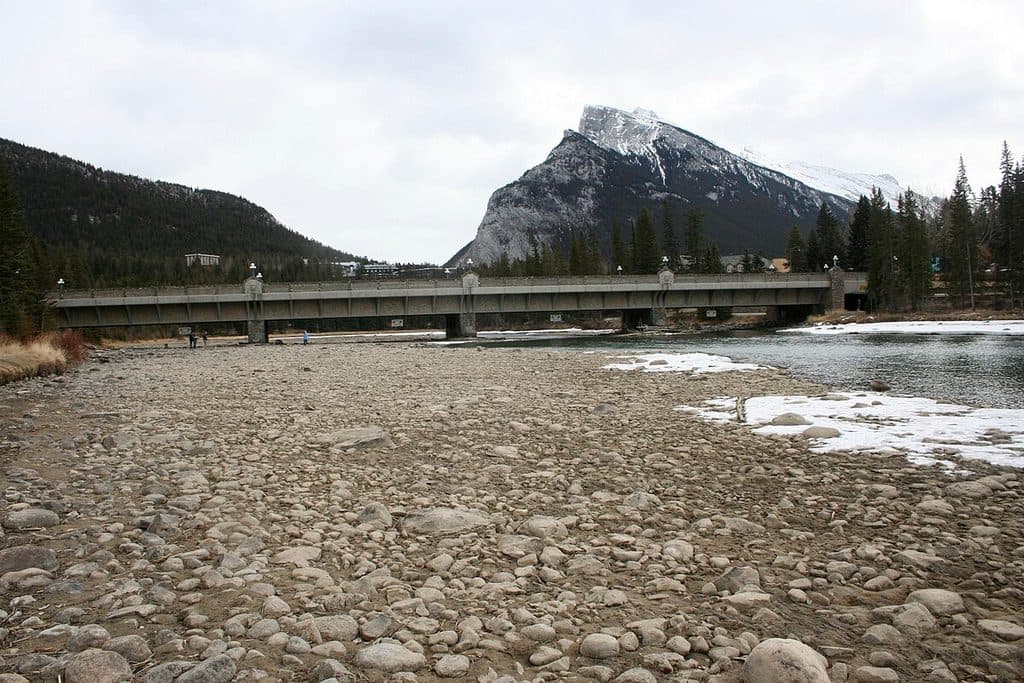
Banff National Park, AB
Easy out-and-back from Central Park to Bow Falls
Overview
An easy, scenic out-and-back from Central Park through Banff's townsite to Bow Falls. Follow the signed riverside path from the Central Park trailhead, cross the Bow River Pedestrian Bridge, and continue along the river to the Bow Falls viewpoint. The mapped corridor is about 0.85 miles one way; plan for about 1.7 miles total when returning to Central Park. Allow roughly 1 hour for the round trip. The route is mostly level, but the approach to the falls includes stairs and a short climb.
Central Park provides the primary access, with nearby parking, washrooms, and picnic space. The riverside path offers mountain and river views, while Bow Falls is the natural turnaround and main destination. This is a townsite shared-use route rather than a wilderness hike, so expect other walkers and cyclists, especially around the bridge and falls.
The path is usable year-round, but winter ice can make the stairs and shaded sections slippery. Keep dogs leashed, yield on shared-use sections, and check Parks Canada trail conditions before setting out.
Map & elevation
Plan your hike

The highest, rockiest slopes around here are a summer buffet for grizzly bears.
Banff Tour Guide
Parkwolf is a GPS audio tour guide for Banff National Park. As you drive, it chimes in with what’s ahead: hidden gems, upcoming stops, history, geology, and wildlife, right through your car’s speakers.
Recorded for this trailhead
Whyte Museum, Central Park and Nancy Pauw Bridge“You're nearing a quieter part of town centered around the Whyte Museum of the Canadian Rockies. If you're curious about the people and art inspired by these mountains, this is the place for that.”
Plays as you drive up to this trailhead in the Parkwolf Banff Tour Guide.
More stories near here in the app
“…Loved the commentary as you drove thru. I’m sure the app can do more than I know but the tips were very helpful. I’m gonna use it when we go to Banff next month.”


Wildlife
 122 sightingsGrizzly BearMost seen around 6 AMSighting map
 150 sightingsBrown BearMost seen around 6 PMSighting map
 44 sightingsGray WolfMost seen around 6 AMSighting map
 12 sightingsRiver OtterMost seen around 8 PMSighting map
 67 sightingsMooseMost seen around 8 PMSighting map
 465 sightingsBlack BearMost seen around 9 PMSighting map
Sighting maps show where each species has been reported across Banff. Wildlife moves, so no sighting is guaranteed.
Keep exploring
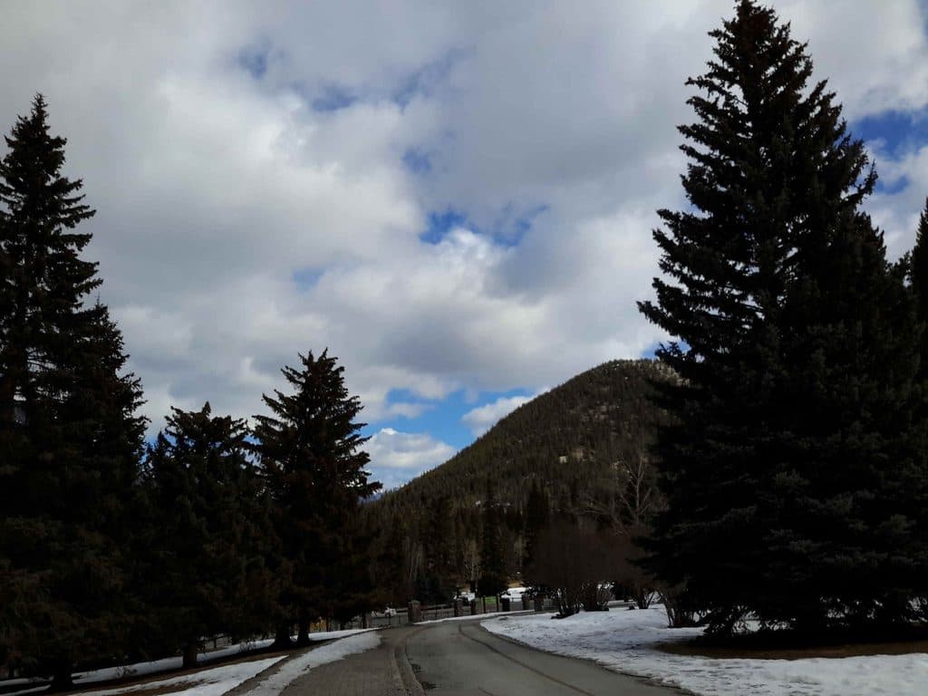 EasyBow Falls Trail2.4 km · 48 min · 0.3 km awayEasy Bow River walk from the Banff Pedestrian Bridge to Bow Falls
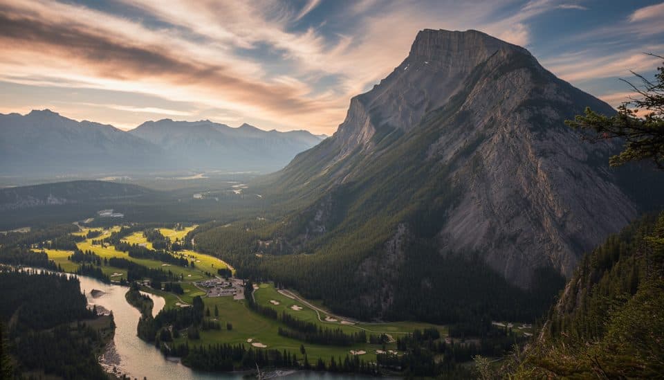 EasyTunnel Mountain Summit Trail4.5 km · 2 hr · 0.8 km awayBanff’s quickest summit for big town views with minimal effort.
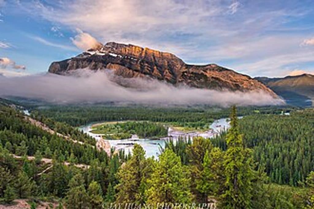 EasyHoodoos Trail8.9 km · 3 hr · 1.1 km awayModerate Bow River trail linking Surprise Corner and the Banff Hoodoos viewpoints.
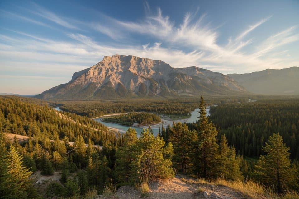 ModerateTunnel Mtn Hoodoos Trail8.9 km · 3 hr · 1.1 km awayA forested Bow Valley walk ending at Banff’s hoodoo viewpoints
 EasyHoodoos Viewpoint Trail4.4 km · 1.5 hr · 1.1 km awayPoint-to-point walk from Surprise Corner to Banff's hoodoos and big-mountain views
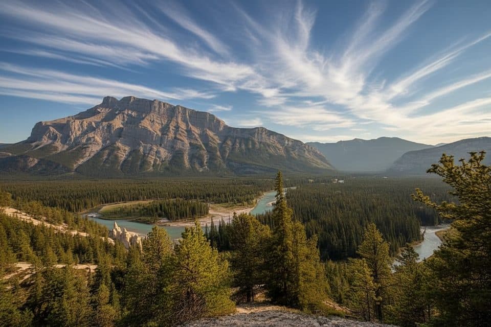 EasySurprise Corner to Hoodoos Trail9.7 km · 3 hr · 1.2 km awayScenic Banff walk linking Surprise Corner and the Hoodoos viewpoints
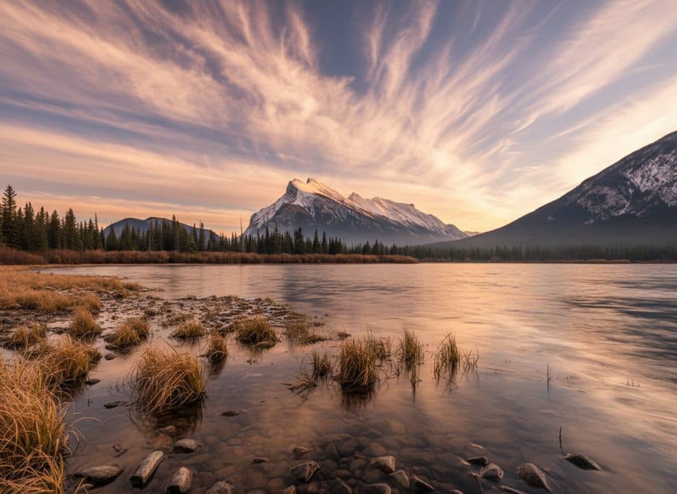 EasyVermilion Lakes Trail8.5 km · 2.5 hr · 1.3 km awayA flat lakeside drive with Mount Rundle reflections and easy wildlife watching
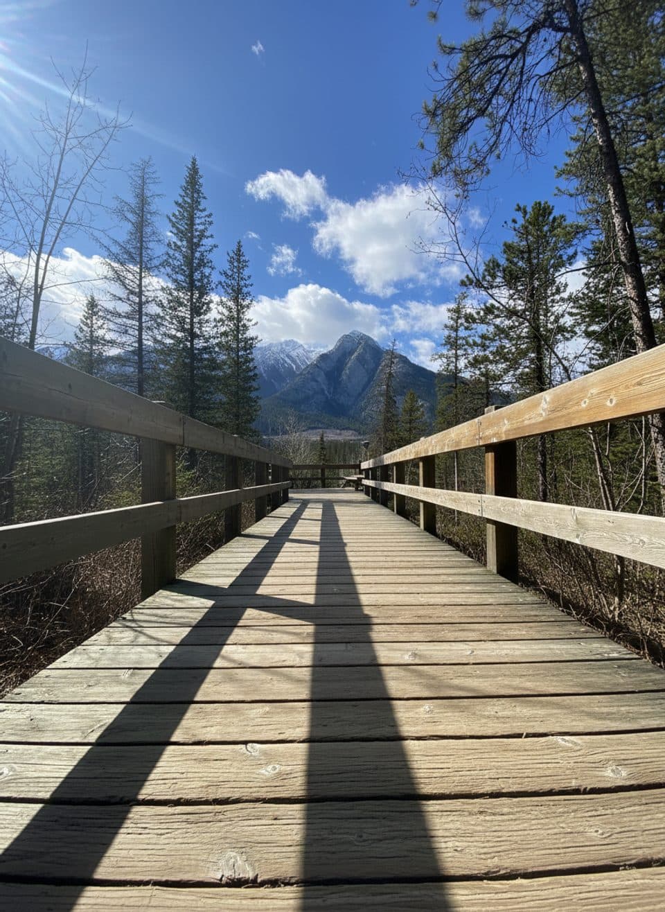 EasyCave and Basin Boardwalks1 km · 45 min · 1.4 km awayEasy, steamy stroll through hot springs, wetlands, and history.
 Sight · At the trailheadCentral ParkRiverside town green with views, a playground, and a classic gazebo
 Sight · 0.1 km awayBanff Park Museum National Historic SiteVintage wildlife museum in a gorgeous 1903 log landmark
 Sight · 0.1 km awayNancy Pauw BridgeElegant timber span with Bow River and mountain views
 Sight · 0.2 km awayWhyte Museum of the Canadian RockiesBanff’s art-and-history hub with rotating exhibits and heritage cabins
 Store · 0.2 km awayBanff Trading PostHistoric Indigenous craft shop with quirky merman and museum vibes
 Sight · 0.2 km awayBuffalo Nations Luxton MuseumImmersive Plains First Nations museum in a log-fort by the Bow
 Sight · 0.3 km awayBanff - Bear Street ParkadeDowntown parkade with coveted free upper-level spots
 Sight · 0.3 km awayCascade of Time GardensTerraced 1930s garden with ponds and mountain views
Parkwolf’s Banff ranking

The audio tour guide for the drive, plus offline maps, trails, and wildlife heatmaps for when the signal drops.





