Parking
A small lot is at Surprise Corner, where Buffalo Street meets Tunnel Mountain Road, but parking is very limited. Roadside parking is prohibited. Walking from downtown is about 1.2 km to the start and adds distance beyond the trail total.
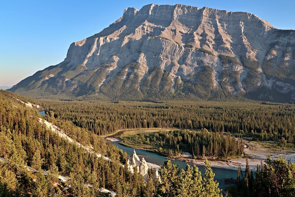
Banff National Park, AB
A forested Bow River walk ends among pale hoodoos.
Overview
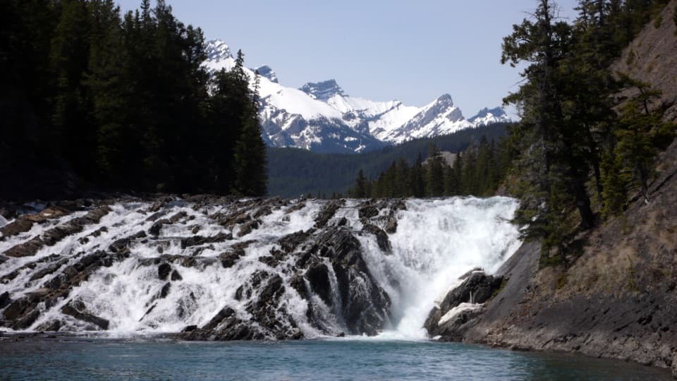
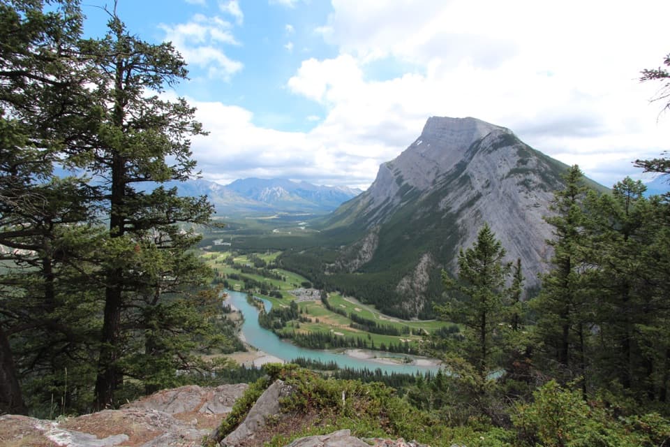
Surprise Corner takes its name from the view from Buffalo Street. Use the viewing platforms for the Bow Falls and Banff Springs Hotel outlook, and stay off the unstable cliffs above the falls. At the far end, the Hoodoos viewpoint looks down on pale rock chimneys with the Bow River and Mount Rundle beyond. Give yourself time at both ends; from the Hoodoos, frame the spires with the river bend to show how the formations sit above the valley.
 Parkwolf’s verdictTwo viewpoints worth slowing down for
Map & elevation
Plan your hike

The highest, rockiest slopes around here are a summer buffet for grizzly bears.
Banff Tour Guide
Parkwolf is a GPS audio tour guide for Banff National Park. As you drive, it chimes in with what’s ahead: hidden gems, upcoming stops, history, geology, and wildlife, right through your car’s speakers.
See the Banff audio tourRecorded for this trailhead
Surprise Corner: The Hotel View“Surprise Corner is coming up, a quick stop for the Banff Springs Hotel rising above the trees beneath Sulphur Mountain. Use the raised platform for that view; this isn't the place for a full look at Bow Falls.”
Plays as you drive up to this trailhead in the Parkwolf Banff Tour Guide.
More stories near here in the app
“…Loved the commentary as you drove thru. I’m sure the app can do more than I know but the tips were very helpful. I’m gonna use it when we go to Banff next month.”


Trail guide
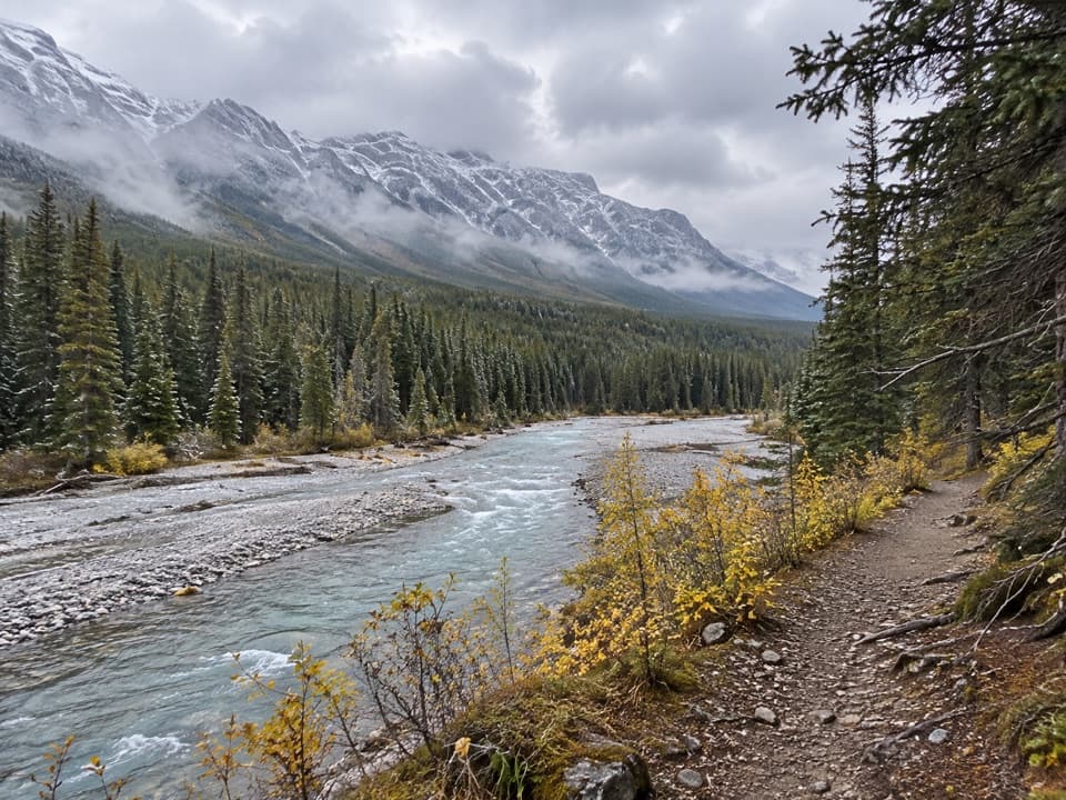
Surprise Corner to Hoodoos Trail is a 4.4 km one-way walk from Banff’s Surprise Corner to the Hoodoos viewpoint. Most hikers return the same way, making it about 8.9 km (5.5 mi) total; allow roughly three hours. The route drops through forest toward the Bow River, follows the river, then climbs to the hoodoos. It’s a moderate half-day walk for anyone who wants a longer river-and-forest outing with a clear destination. The return retraces the same corridor.
From Surprise Corner the path descends through trees to the riverbank. The middle stretch follows a well-worn trail beside the Bow, then turns uphill toward the Hoodoos viewpoint. The climb out of the river valley is the effort to plan for; it’s steeper than the easy riverside walking. This is a shared route, so expect bikes as well as walkers.
There’s a small lot where Buffalo Street meets Tunnel Mountain Road, but parking is very limited and roadside parking is prohibited. Walking from downtown is about 1.2 km to the start and adds distance beyond the trail total. Winter ice is common enough that traction devices are recommended. Dogs are permitted on trails in summer unless a posted restriction says otherwise; keep them leashed and under physical control at all times.
Wildlife
 123 sightingsGrizzly BearMost seen around 6 AMSighting map
 150 sightingsBrown BearMost seen around 6 PMSighting map
 44 sightingsGray WolfMost seen around 6 AMSighting map
 12 sightingsRiver OtterMost seen around 8 PMSighting map
 69 sightingsMooseMost seen around 8 PMSighting map
 466 sightingsBlack BearMost seen around 9 PMSighting map
Sighting maps show where each species has been reported across Banff. Wildlife moves, so no sighting is guaranteed.
Keep exploring
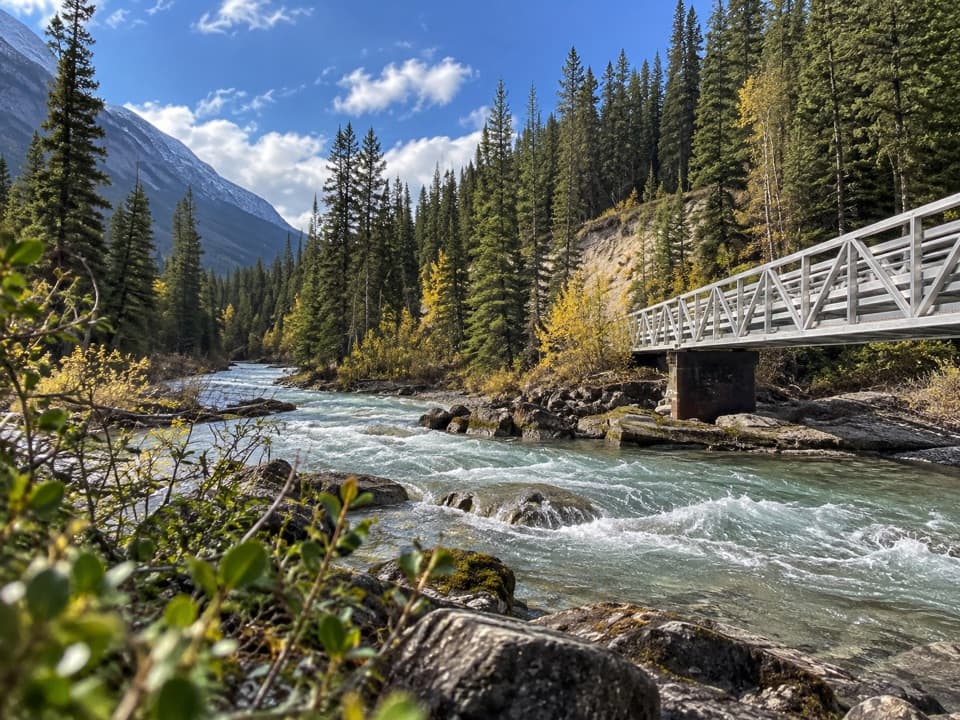 ModerateSpray River East Trail11.2 km · 3.5 hr · 0.5 km awayA rolling forest track follows the river to its bridge.
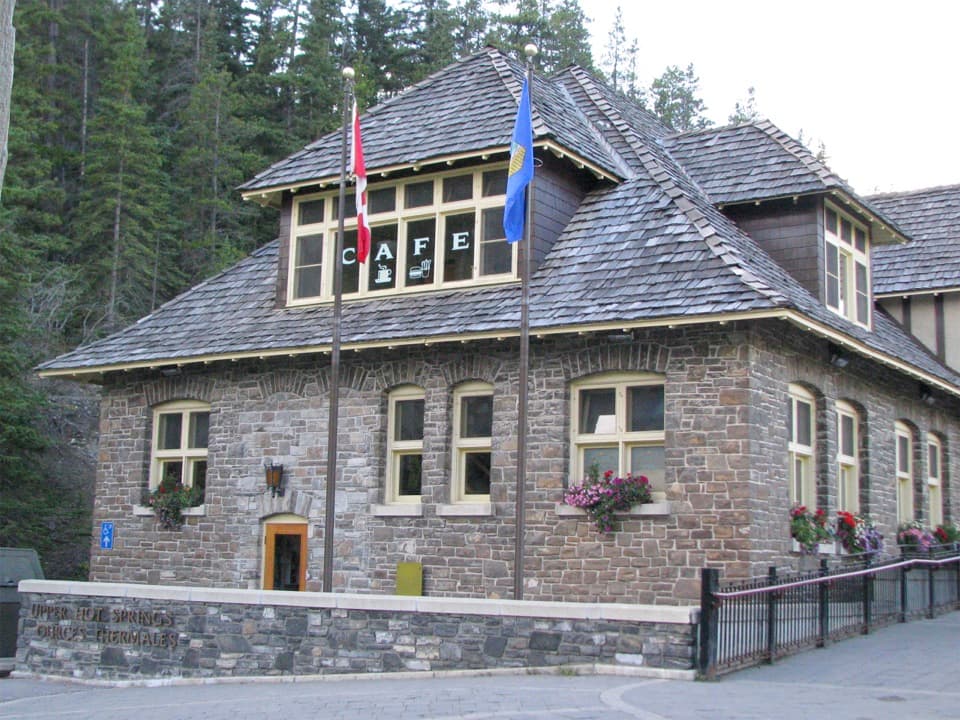 ModerateUpper Hot Springs Trail1.6 km · 30 min · 0.6 km awayA short wooded climb links the hotel to the hot-springs pool.
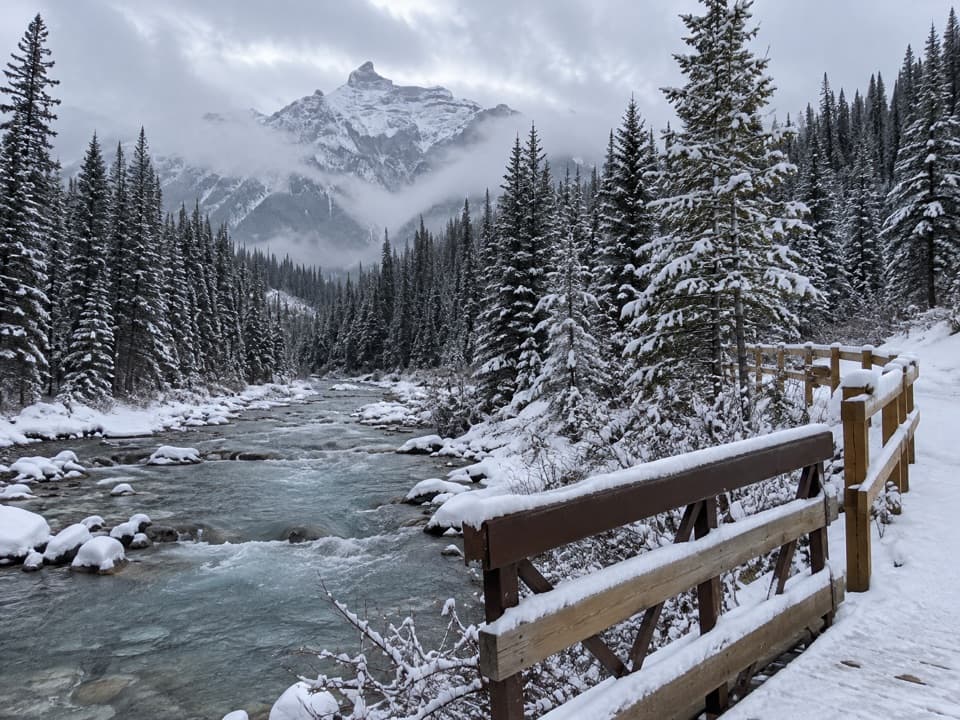 ModerateGoat Creek Trail18.7 km · 6 hr · 0.7 km away18.7 km one way from Banff’s Spray River to Goat Creek.
 EasySpray River West Trail11.4 km · 3.5 hr · 0.8 km awayAn 11.4 km out-and-back on the Spray River's forested west bank.
 EasySpray River Loop11.3 km · 4 hr · 0.8 km awayA quiet river loop with a covered bridge bench halfway around.
 EasyBow Falls Trail2.4 km · 54 min · 0.9 km awayFind roaring rapids below, then climb to viewpoints above the falls.
 ModerateTunnel Mountain Summit Trail4.6 km · 2 hr · 0.9 km awayA short, steady climb to a wide view over Banff.
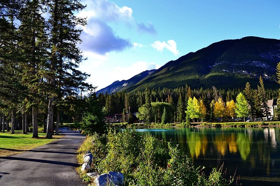 EasyBow River Trail to Bow Falls2.7 km · 1 hr · 1.1 km awayA short riverside walk to Bow Falls crosses a wooden footbridge.
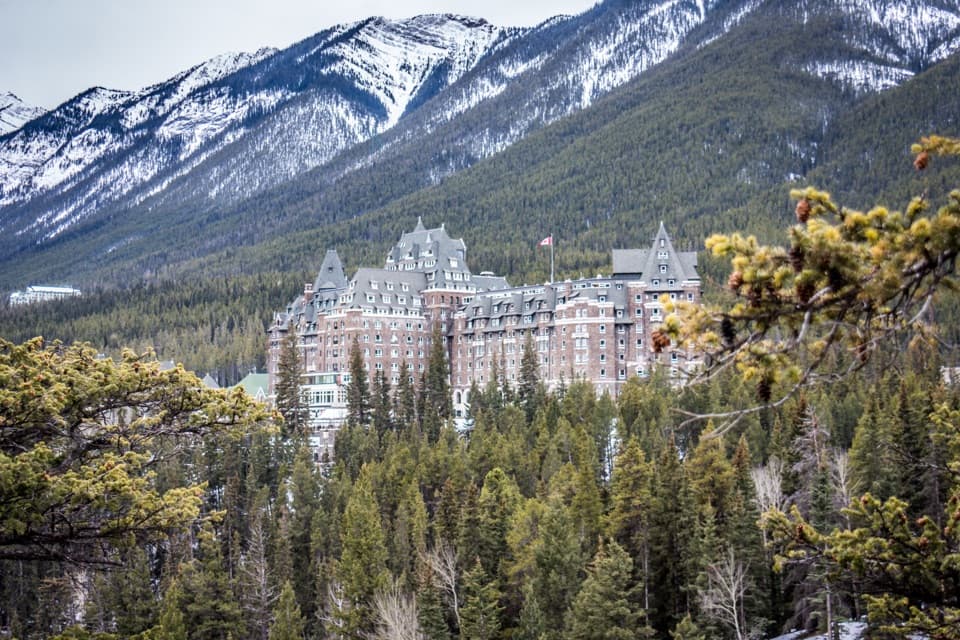 Sight · At the trailheadSurprise CornerA raised platform looks onto Banff's grand hotel and forested mountains.Sight · 0.1 km awayBow FallsA broad, booming cascade beside Banff Springs.
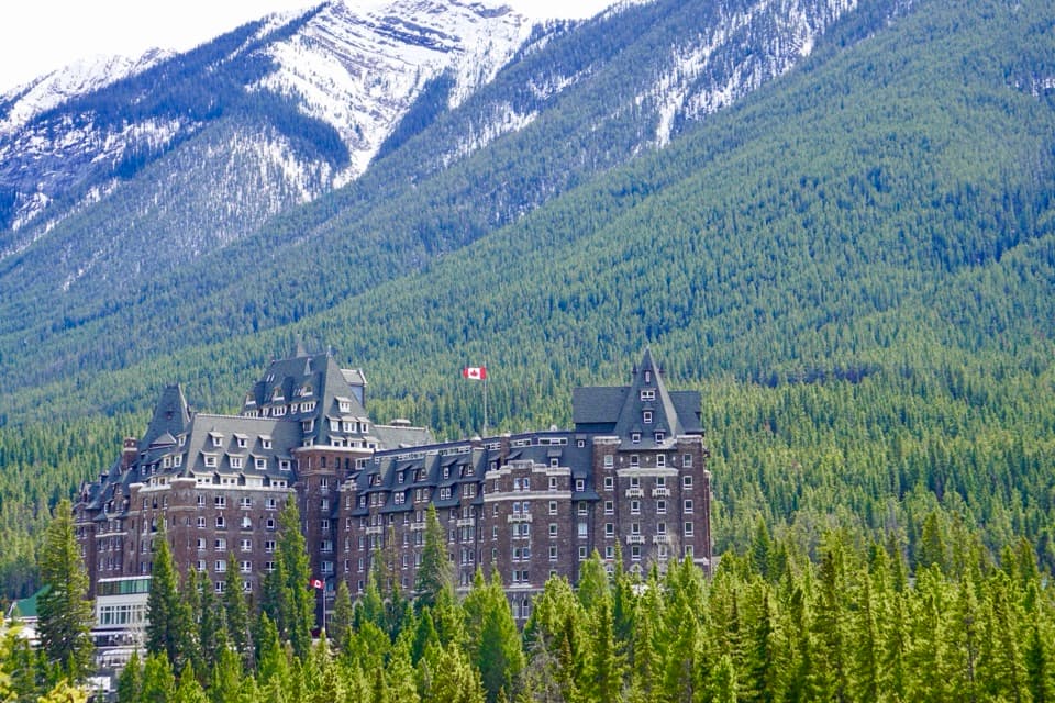 Sight · 0.4 km awayFairmont Banff SpringsA castle-style hotel welcoming guests since 1888.
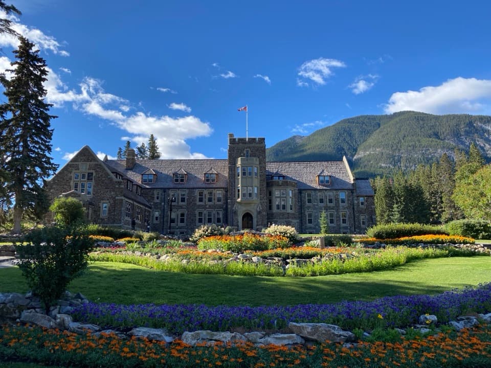 Sight · 0.9 km awayCascade of Time GardensA garden pause with terraces, flowers and small waterfalls.
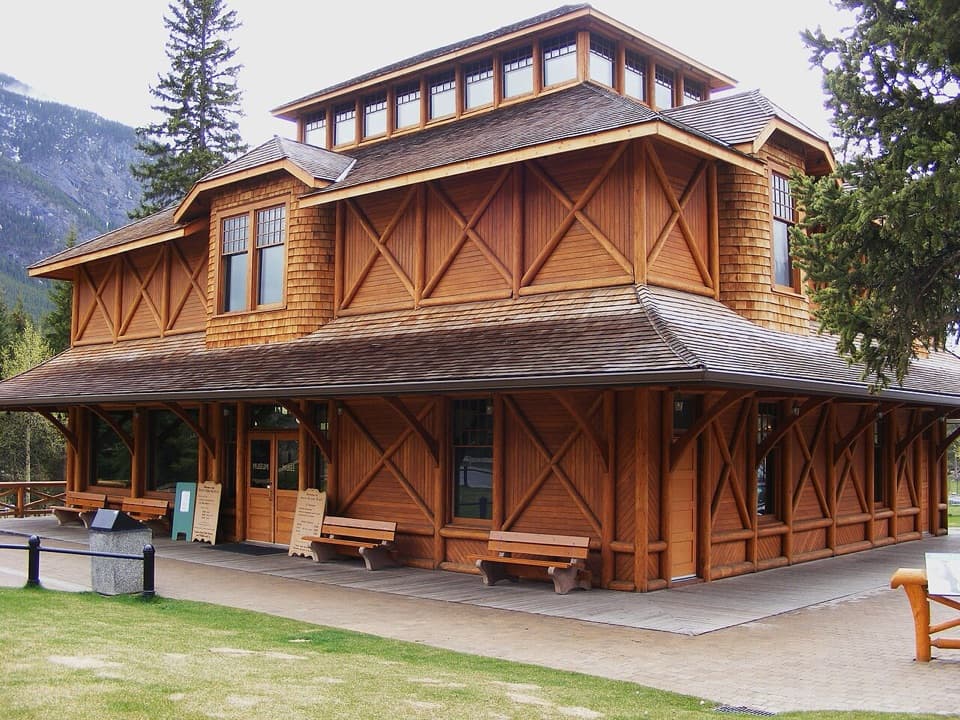 Sight · 1.1 km awayBanff Park Museum National Historic SiteA timber “railway pagoda” packed with vintage wildlife specimens.
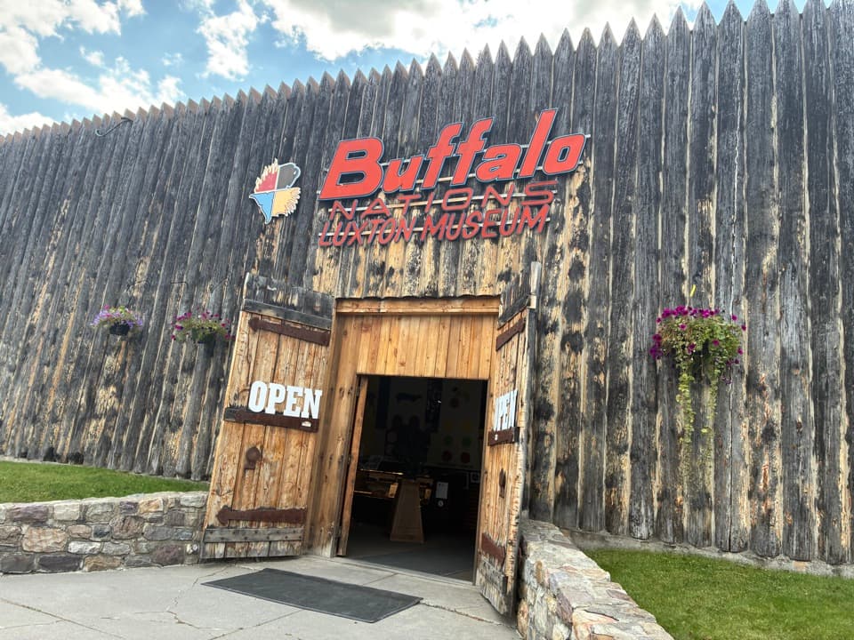 Sight · 1.1 km awayBuffalo Nations MuseumA compact museum for First Nations histories and art in the Rockies.
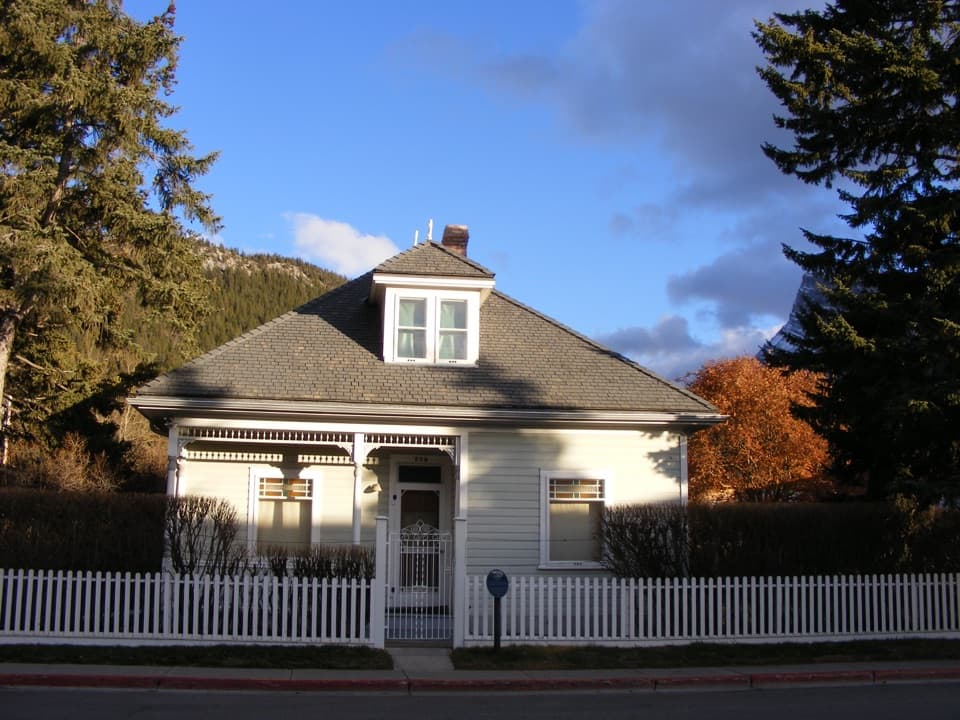 Sight · 1.2 km awayThe Historic Luxton HomeA family’s early town story, preserved in its home and garden.
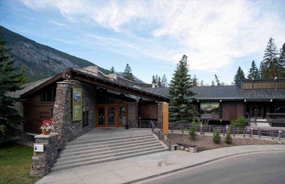 Sight · 1.3 km awayThe Whyte (Whyte Museum of the Canadian Rockies)Art, photographs and the human story behind Banff's mountain scenery.
Parkwolf’s Banff ranking
The audio tour guide for the drive, plus offline maps, trails, and wildlife heatmaps for when the signal drops.





