Parking
Park at the Bow Falls parking area below the Fairmont Banff Springs for the shortest access to the viewpoints. Parking fills quickly; walking from downtown to the Banff Pedestrian Bridge is a practical alternative when lots are busy.
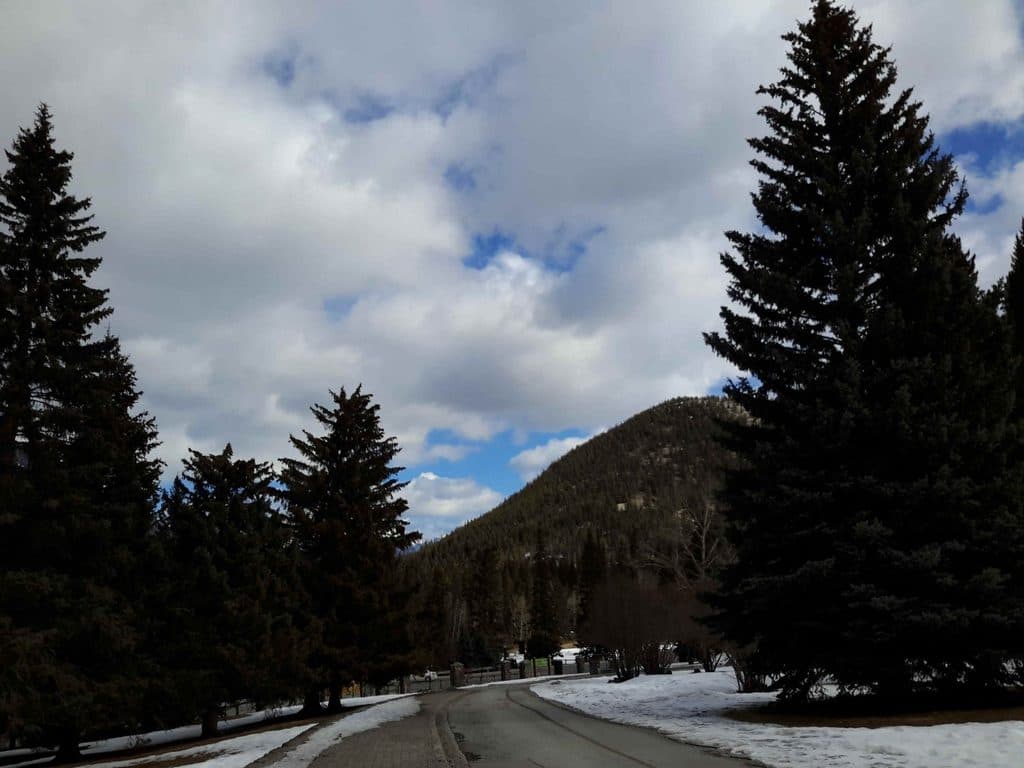
Banff National Park, AB
Easy Bow River walk from the Banff Pedestrian Bridge to Bow Falls
Overview
This easy out-and-back follows the south shore of the Bow River from the south base of the Banff Pedestrian Bridge to the Bow Falls viewpoints. The river walk passes through forest and beside broad rapids before climbing on stairs to views above the falls, with Cascade Mountain and Mount Rundle adding the Rocky Mountain backdrop. The route is short and close to town, but the river and cliff edges are powerful natural hazards.
Map & elevation
Plan your hike

The highest, rockiest slopes around here are a summer buffet for grizzly bears.
Banff Tour Guide
Parkwolf is a GPS audio tour guide for Banff National Park. As you drive, it chimes in with what’s ahead: hidden gems, upcoming stops, history, geology, and wildlife, right through your car’s speakers.
Recorded for this trailhead
Banff's Bow River Bridge and Historic Gardens“You're approaching the area around the Bow River bridge at the end of Banff Avenue.”
Plays as you drive up to this trailhead in the Parkwolf Banff Tour Guide.
More stories near here in the app
“…Loved the commentary as you drove thru. I’m sure the app can do more than I know but the tips were very helpful. I’m gonna use it when we go to Banff next month.”


Trail guide
The Town of Banff lists 1.2 km one way from the Bow River Bridge to Bow Falls; allow about 20–25 minutes each way. Parkwolf's visitor distance is about 1.5 miles (2.4 km) out and back, using the published route convention. The verified mapped corridor stored here runs about 0.92 km from the south base of the pedestrian bridge to the upper viewpoint; the difference reflects source measurement and the visitor-facing distance convention. Expect roughly 50 m of elevation gain on the walk to the falls. The trail is easy overall, but the stair climb and uneven surfaces make the full route unsuitable for some mobility devices.
Follow the Bow River through light forest and riverside openings, then look down on the wide, loud Bow Falls from the clifftop viewpoints. The Banff Pedestrian Bridge is itself a good place for river and Cascade Mountain views. The falls were also used as a setting in several classic 1950s films.
The primary trailhead is the Banff Pedestrian Bridge, at the south base where the route begins. If you prefer a shorter visit, park at the Bow Falls parking area below the Fairmont Banff Springs and walk to the viewpoints. Parking fills quickly; walking from downtown is a practical alternative when the lots are busy.
Bicycles are not permitted on the clifftop section. The clifftop section closes in winter, and stairs and paths can be slippery in snow or ice. Stay on marked trails and behind viewpoint barriers, keep dogs leashed, and do not approach the river or falls edge. Check the park and town access information before setting out because conditions and parking rules can change.
Wildlife
 122 sightingsGrizzly BearMost seen around 6 AMSighting map
 150 sightingsBrown BearMost seen around 6 PMSighting map
 44 sightingsGray WolfMost seen around 6 AMSighting map
 12 sightingsRiver OtterMost seen around 8 PMSighting map
 67 sightingsMooseMost seen around 8 PMSighting map
 465 sightingsBlack BearMost seen around 9 PMSighting map
Sighting maps show where each species has been reported across Banff. Wildlife moves, so no sighting is guaranteed.
Keep exploring
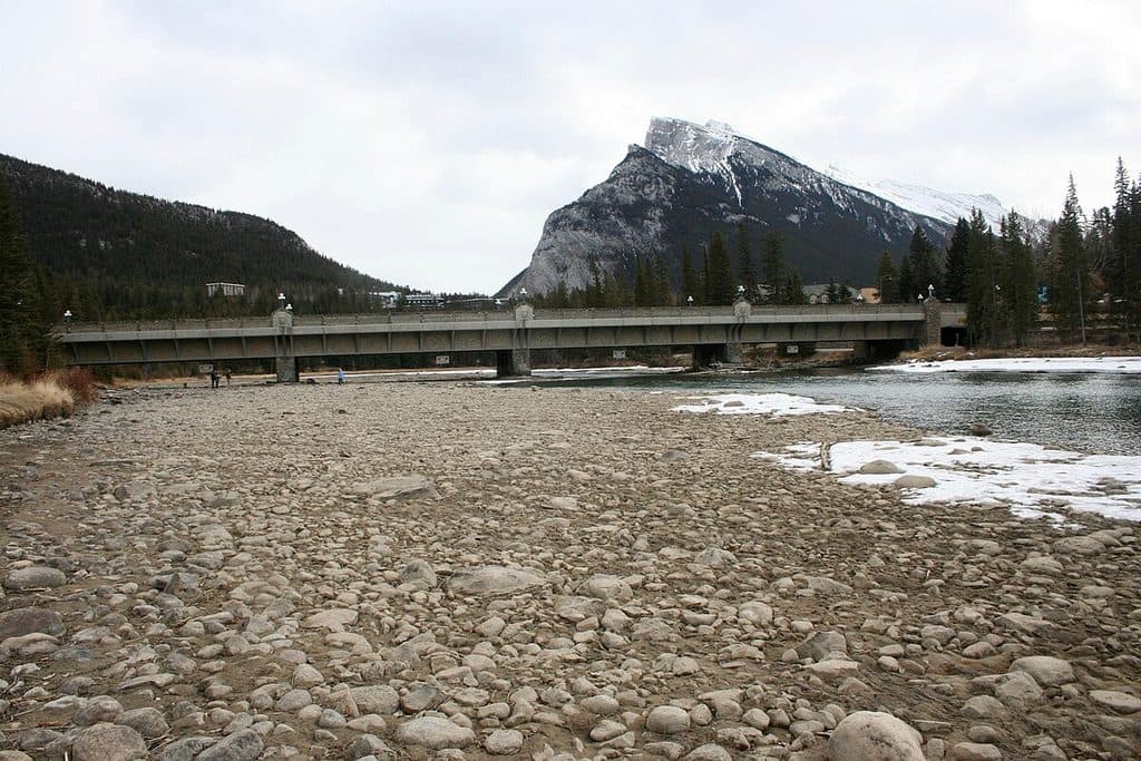 EasyBow River Trail (Banff)2.7 km · 1 hr · 0.3 km awayEasy out-and-back from Central Park to Bow Falls
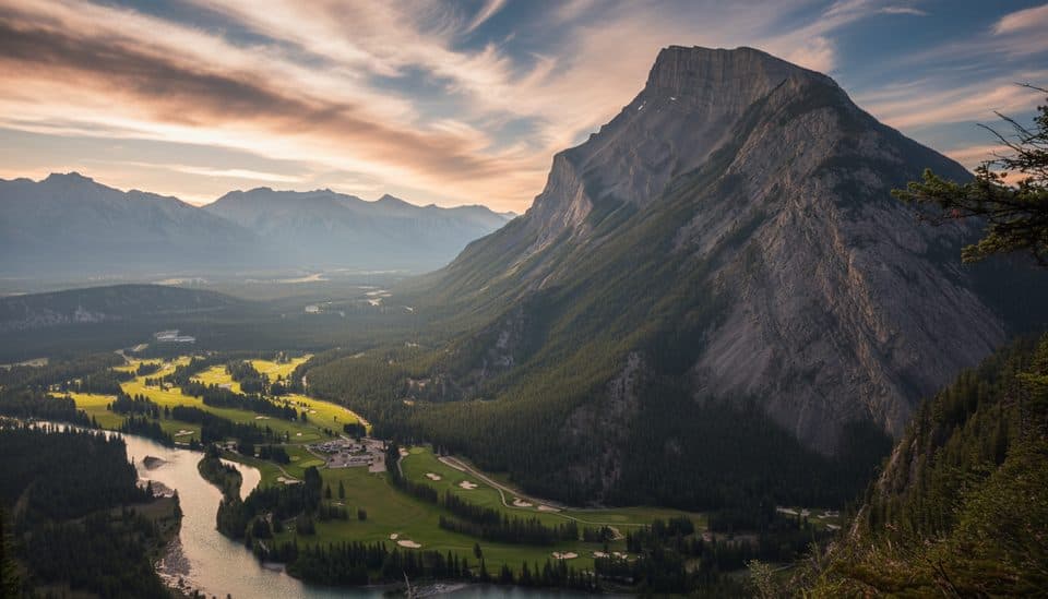 EasyTunnel Mountain Summit Trail4.5 km · 2 hr · 0.5 km awayBanff’s quickest summit for big town views with minimal effort.
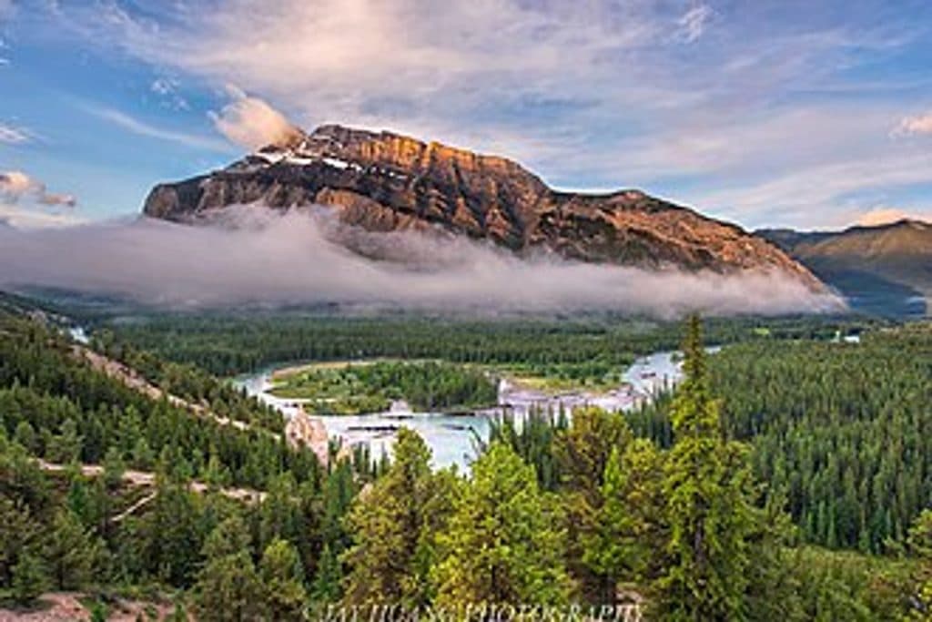 EasyHoodoos Trail8.9 km · 3 hr · 0.8 km awayModerate Bow River trail linking Surprise Corner and the Banff Hoodoos viewpoints.
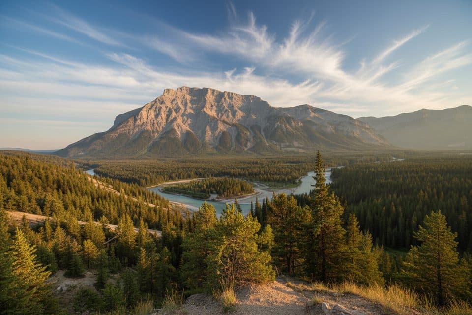 ModerateTunnel Mtn Hoodoos Trail8.9 km · 3 hr · 0.8 km awayA forested Bow Valley walk ending at Banff’s hoodoo viewpoints
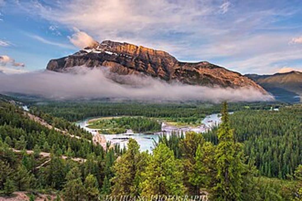 EasyHoodoos Viewpoint Trail4.4 km · 1.5 hr · 0.8 km awayPoint-to-point walk from Surprise Corner to Banff's hoodoos and big-mountain views
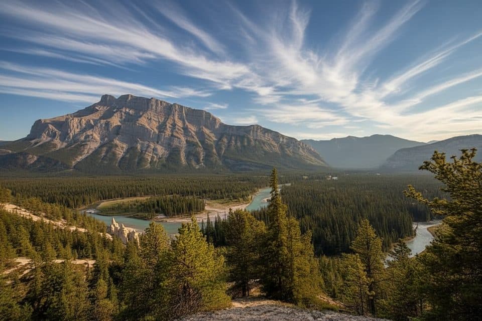 EasySurprise Corner to Hoodoos Trail9.7 km · 3 hr · 0.9 km awayScenic Banff walk linking Surprise Corner and the Hoodoos viewpoints
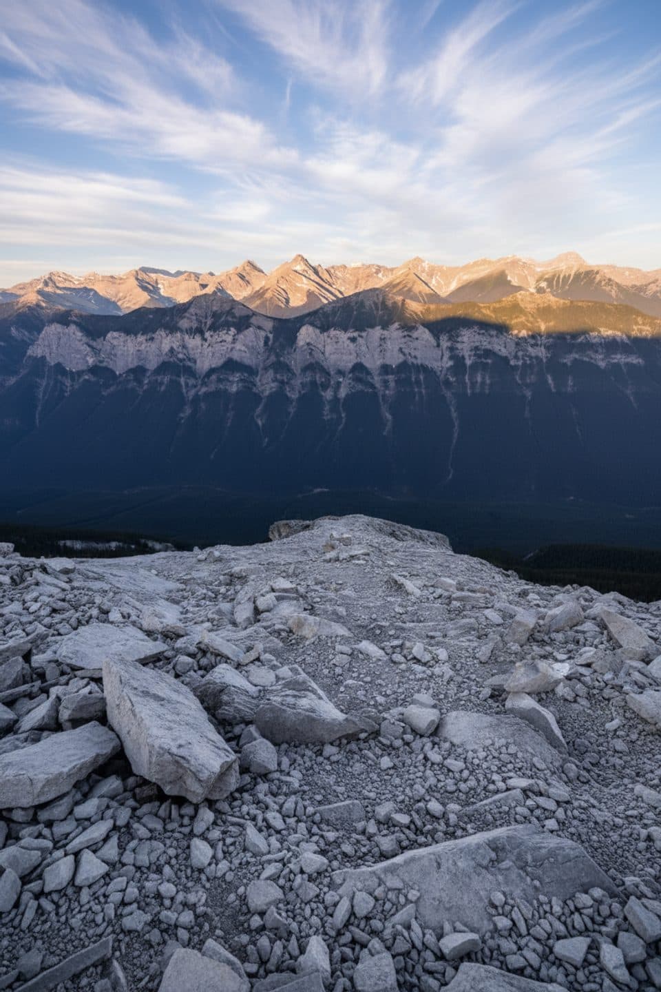 ChallengingMt Rundle Route14.6 km · 8 hr · 1.2 km awayBanff’s signature sufferfest: steep limestone and knockout views.
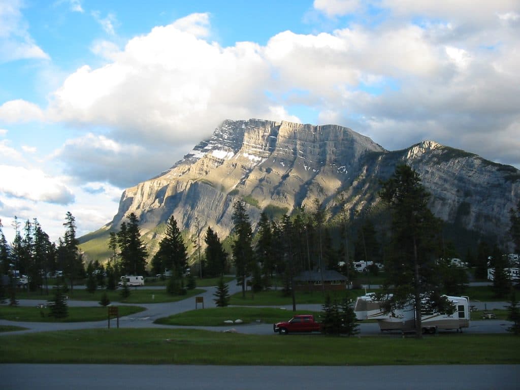 ChallengingMount Rundle14.6 km · 9 hr · 1.2 km awayBanff-side West Peak scramble: steep limestone, huge summit views
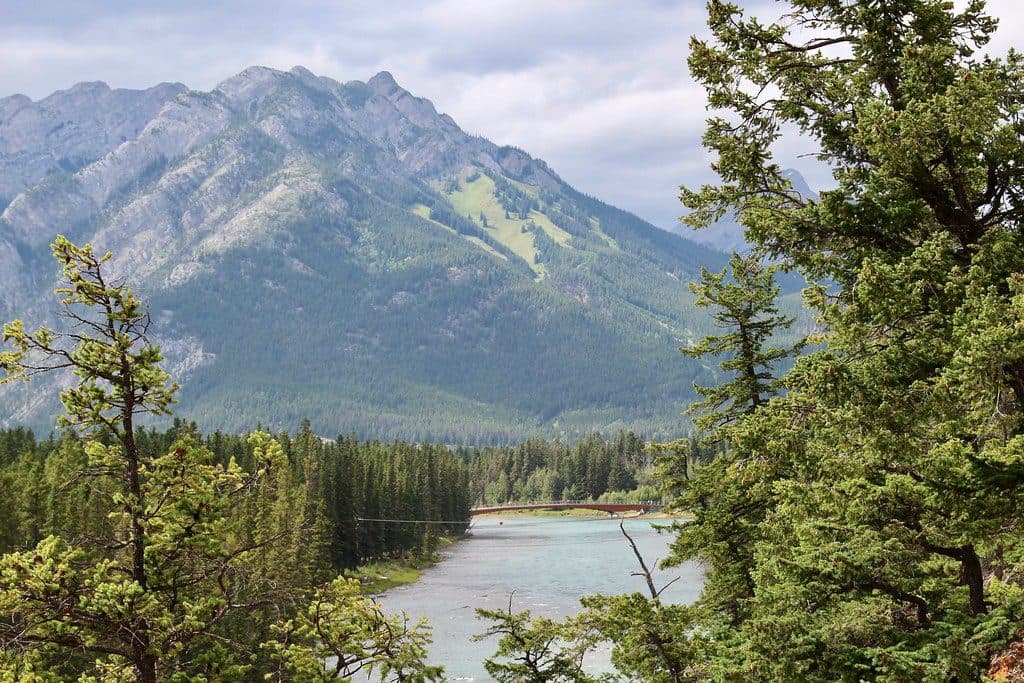 Sight · At the trailheadBow River Pedestrian BridgeTimber bridge with Bow River views and an easy link across town
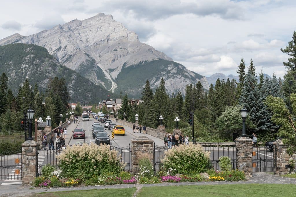 Sight · 0.1 km awayBow River BridgeHistoric Banff Avenue bridge with classic Bow River and mountain views
 Sight · 0.3 km awayBanff Park Museum National Historic SiteVintage wildlife museum in a gorgeous 1903 log landmark
 Sight · 0.3 km awayParks Canada AdministrationHistoric 1930s park HQ framed by serene, photo-friendly gardens
 Sight · 0.3 km awayCascade of Time GardensTerraced 1930s garden with ponds and mountain views
 Store · 0.3 km awayBanff Trading PostHistoric Indigenous craft shop with quirky merman and museum vibes
 Sight · 0.3 km awayCentral ParkRiverside town green with views, a playground, and a classic gazebo
 Sight · 0.4 km awayBuffalo Nations Luxton MuseumImmersive Plains First Nations museum in a log-fort by the Bow
Parkwolf’s Banff ranking

The audio tour guide for the drive, plus offline maps, trails, and wildlife heatmaps for when the signal drops.





