Parking
Use the Fish Creek Parking Lot off Whitehorn Road, about 3 km from Lake Louise. The mapped hiking corridor begins a short distance from the parking area; follow the signed access route toward Skoki Lodge and Hidden Lake.
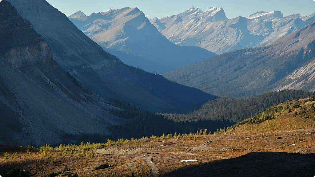
Banff National Park, AB
Long, demanding out-and-back from Fish Creek to a high alpine pass above Ptarmigan Lake
Overview
Deception Pass is a long, demanding out-and-back into Banff National Park’s Skoki backcountry. Start at the Fish Creek parking area off Whitehorn Road, then follow the first 4 km on a broad access road before the route narrows into alpine meadows and mountain scenery. The main route is 23 km (14.3 miles) round trip, with about 835 m of elevation gain and 140 m of loss; allow roughly 8 to 9 hours for the full hike.
From the access road, continue through Boulder Pass and past Ptarmigan Lake to Deception Pass, a high, exposed destination with wide views into the Skoki Valley and surrounding peaks. The route is straightforward in lower terrain but becomes more committing above treeline, where wind, weather changes, and poor visibility can make navigation difficult. A separate 1.5 km one-way side trip from the junction below Deception Pass leads toward Baker Lake and is not included in the main route distance.
This is a wilderness day hike rather than a short front-country walk. Start early, carry layers, food, water, navigation tools, and bear-safety equipment, and stay on the established route. Dogs are allowed only where permitted and should be kept under control; winter travel enters avalanche terrain and requires appropriate training, equipment, and current avalanche information.
Map & elevation
Plan your hike

The highest, rockiest slopes around here are a summer buffet for grizzly bears.
Banff Tour Guide
Parkwolf is a GPS audio tour guide for Banff National Park. As you drive, it chimes in with what’s ahead: hidden gems, upcoming stops, history, geology, and wildlife, right through your car’s speakers.
Recorded for this trailhead
Lake Louise Ski Resort and Summer Gondola“You're nearing the Lake Louise Ski Resort, which is a major hub for both winter skiing and summer sightseeing. In summer, the main attraction is the gondola ride up Mount Whitehorn.”
Plays as you drive up to this trailhead in the Parkwolf Banff Tour Guide.
More stories near here in the app
“…Loved the commentary as you drove thru. I’m sure the app can do more than I know but the tips were very helpful. I’m gonna use it when we go to Banff next month.”


Wildlife
 122 sightingsGrizzly BearMost seen around 6 AMSighting map
 150 sightingsBrown BearMost seen around 6 PMSighting map
 44 sightingsGray WolfMost seen around 6 AMSighting map
 12 sightingsRiver OtterMost seen around 8 PMSighting map
 67 sightingsMooseMost seen around 8 PMSighting map
 465 sightingsBlack BearMost seen around 9 PMSighting map
Sighting maps show where each species has been reported across Banff. Wildlife moves, so no sighting is guaranteed.
Keep exploring
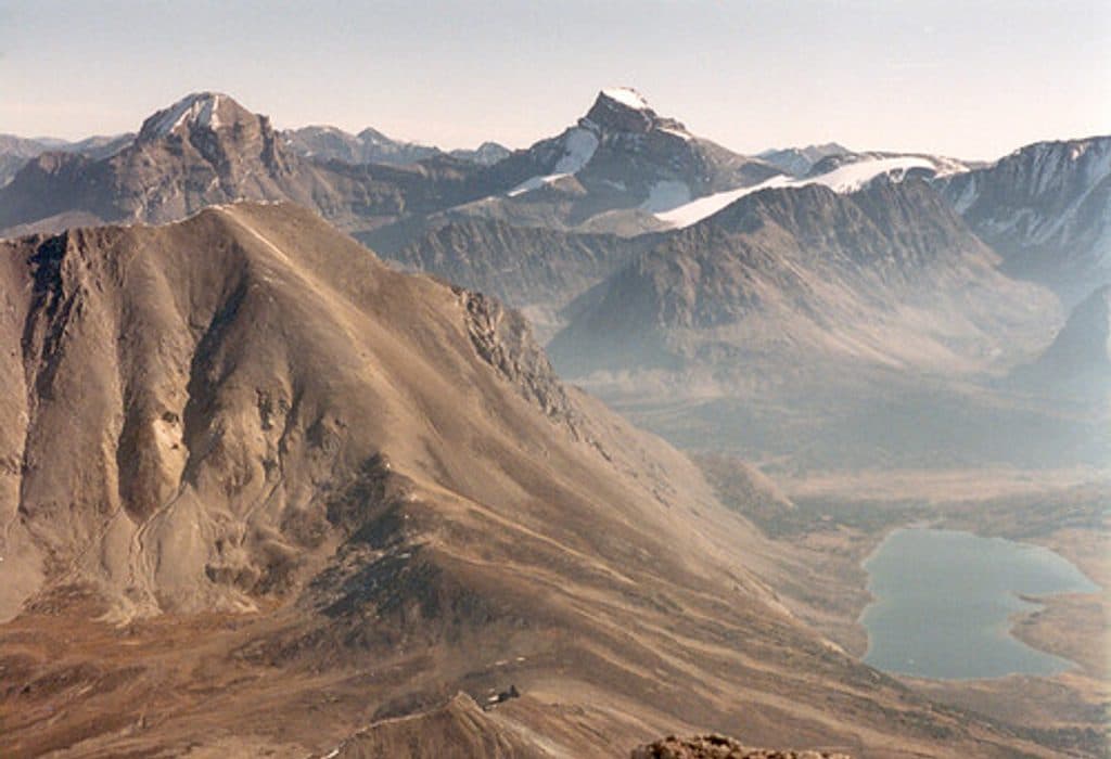 ChallengingFossil Mountain25.6 km · 10 hr · At the trailheadLong alpine day to fossil beds and sweeping Skoki views
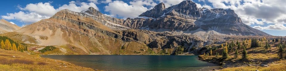 ChallengingHidden Lake (Skoki)16.7 km · 6.5 hr · At the trailheadDifficult Skoki out-and-back to a quiet alpine lake beneath Ptarmigan and Pika peaks
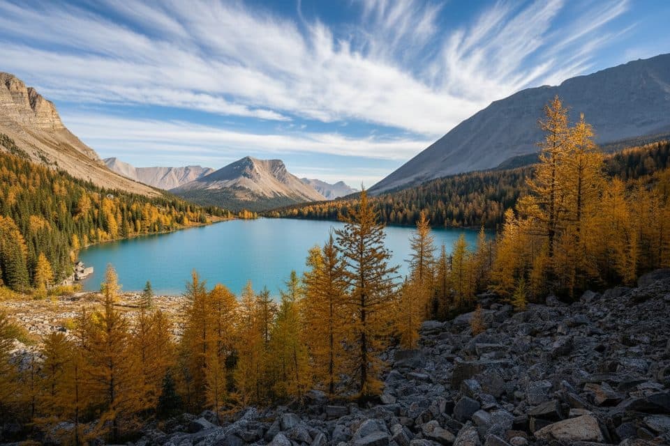 ChallengingSkoki Trail36.9 km · 14 hr · At the trailheadDemanding multi-day loop through alpine lakes, passes, meadows, and historic Skoki Lodge.ModerateBaker Lake via Boulder Pass25.6 km · 9 hr · At the trailheadA long alpine-lake approach over Boulder Pass to remote Baker LakeChallengingOyster Peak Route34.9 km · 11.5 hr · At the trailheadLong Skoki approach to a difficult Oyster Peak summit scrambleChallengingSkoki Valley Loop via Deception Pass36.9 km · 14 hr · At the trailheadA demanding three-day loop through Baker Lake, Skoki Lodge, Merlin Meadows, and Deception PassChallengingSkoki Valley Trail40.7 km · 16.5 hr · At the trailheadA demanding multi-day loop through Banff's Skoki backcountryModerateBoulder Pass and Ptarmigan Lake17.9 km · 5.5 hr · At the trailheadA long alpine out-and-back from Fish Creek to Boulder Pass and Ptarmigan Lake
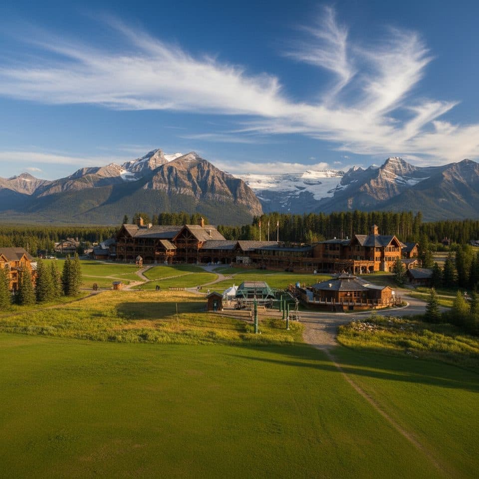 Restaurant · 0.8 km awayLodge of the Ten PeaksBig log cafeteria with mountain views at the ski area base
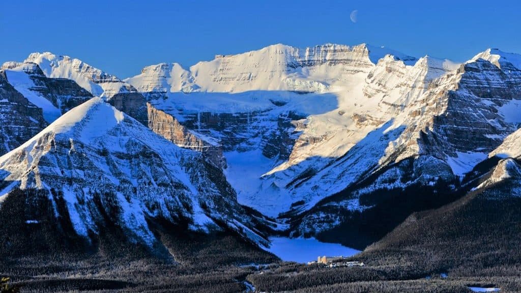 Sight · 0.8 km awayLake Louise Ski ResortBig-mountain skiing and summer grizzly viewing with knockout views
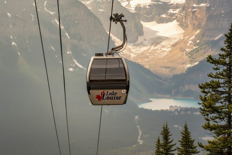 Sight · 0.8 km awayLake Louise Ski Resort Summer Gondola ViewpointGood chance of grizzlies and big alpine views by gondola
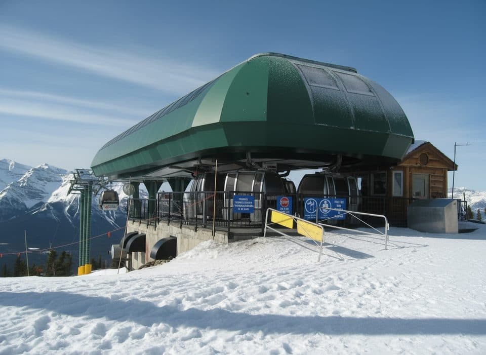 Sight · 0.8 km awayGrizzly Express GondolaScenic ride with real odds of spotting grizzlies
 Gas station · 2.4 km awayShellLake Louise’s go-to fuel stop with diesel and propane
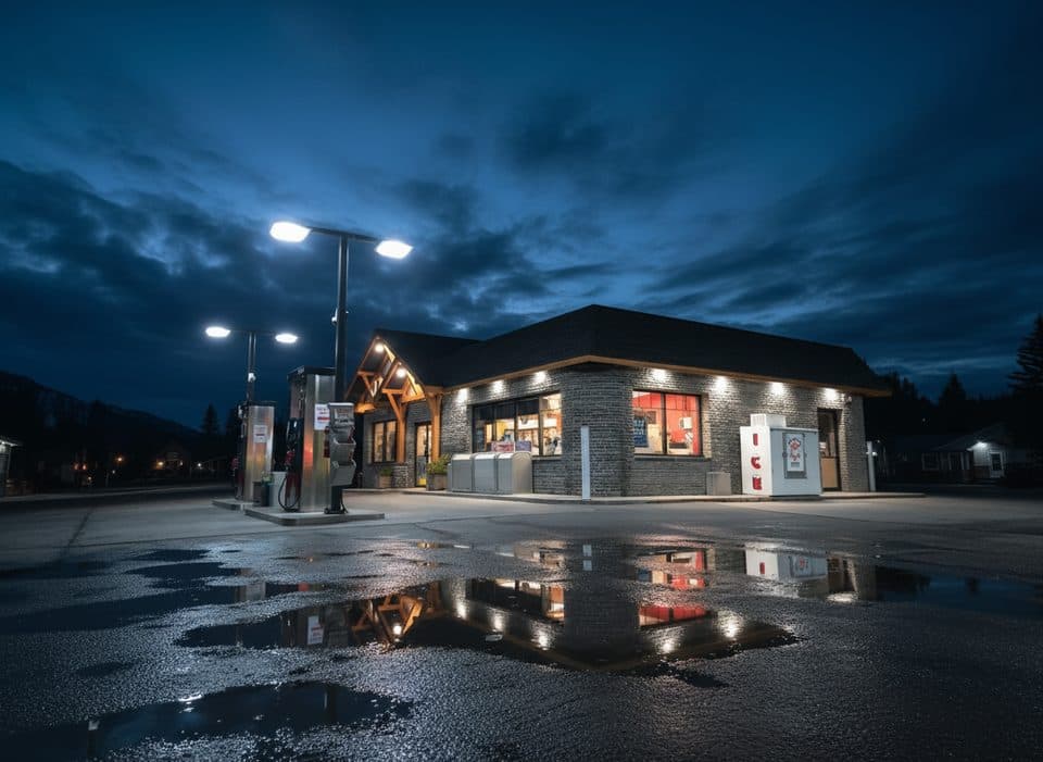 Gas station · 2.4 km awayPetro-CanadaEssential Lake Louise fuel stop with long hours and a c‑store
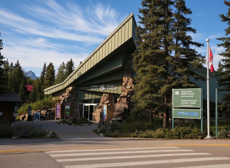 Visitor center · 2.5 km awayLake Louise Visitor CentreYour planning hub for permits, tips, and geology exhibits
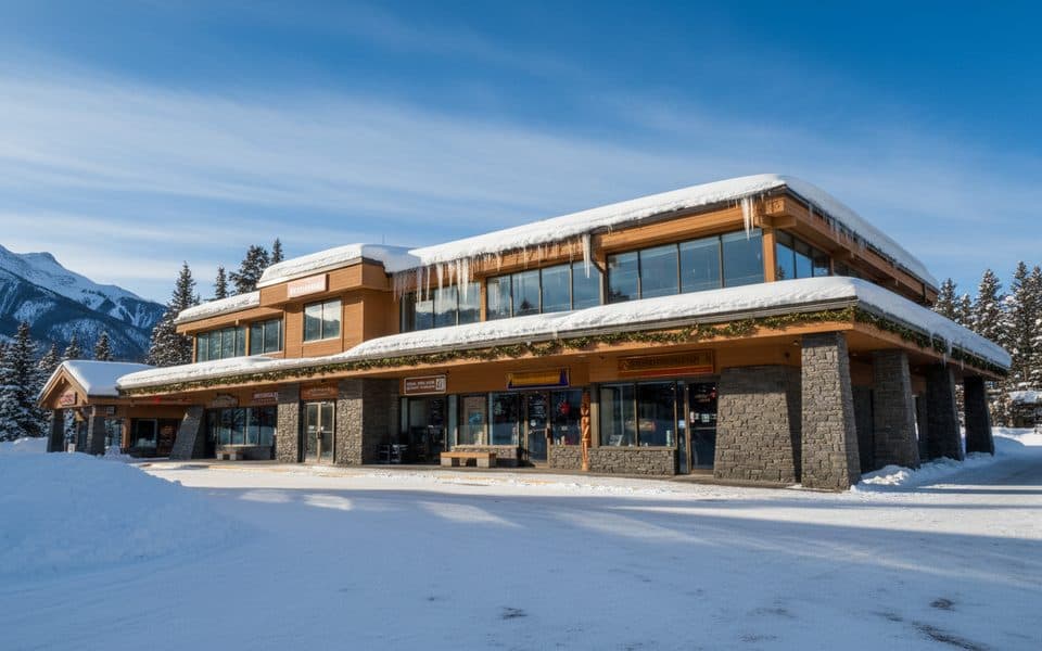 Store · 2.5 km awaySamson MallLake Louise’s one-stop hub for food, gear, and info
Parkwolf’s Banff ranking

The audio tour guide for the drive, plus offline maps, trails, and wildlife heatmaps for when the signal drops.





