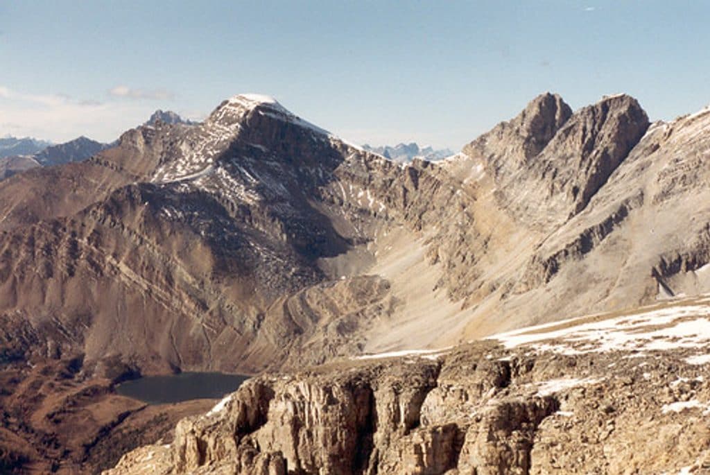
Mount Richardson in Banff National Park

Banff National Park, AB

Mount Richardson

Long, committing Banff scramble from Fish Creek to a panoramic Mount Richardson summit

Photo: Flickr
Length
21.7km
Time
8hr
Elev. change
1,341m
Difficulty
Challenging
  • Dogs allowed
  • High point 3,042 m
  • #82 of 177 in Banff

Hear the audio tour

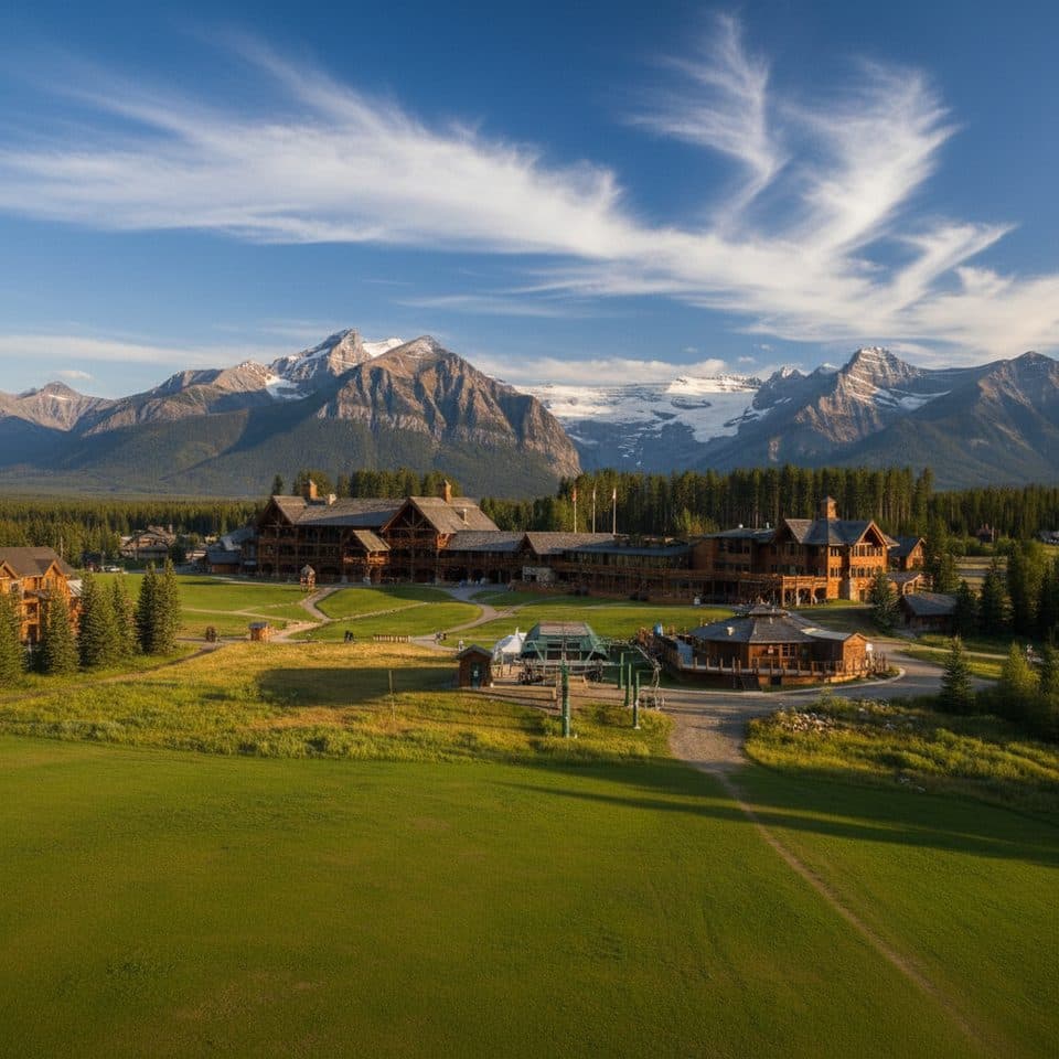
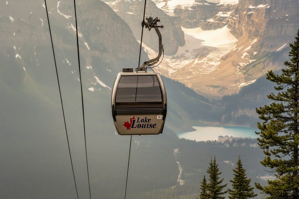
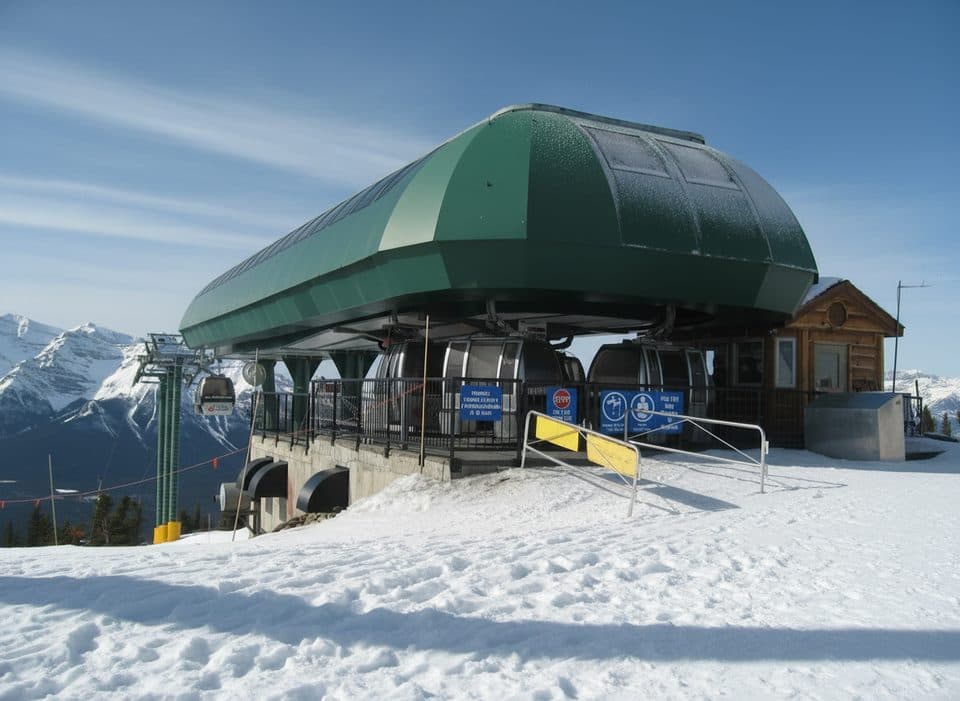
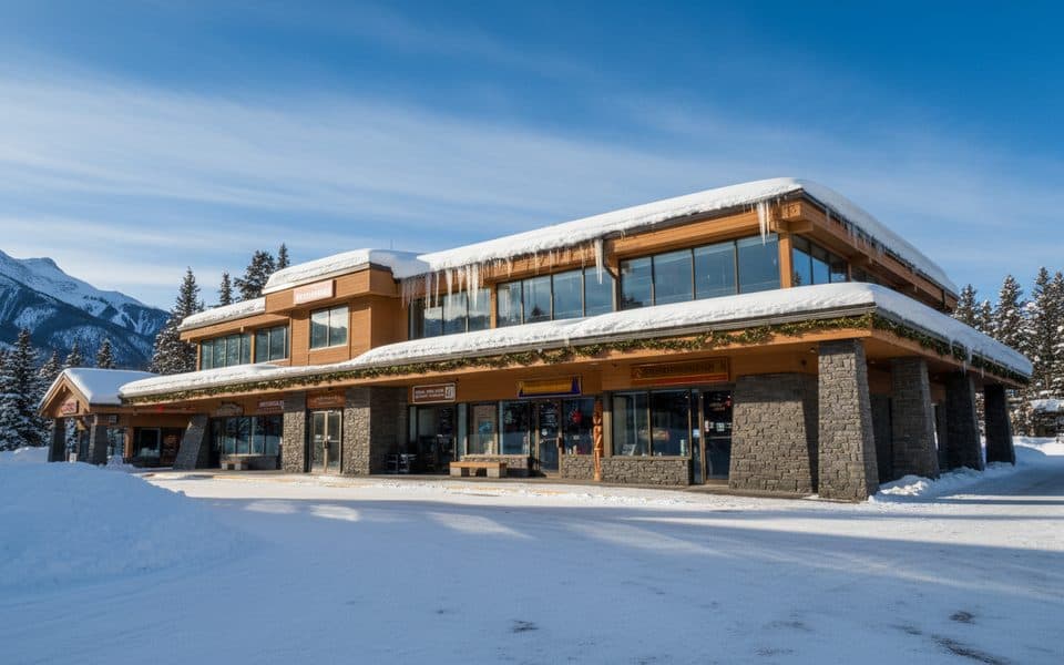
Lake Louise Ski Resort and Summer Gondola

Overview

About Mount Richardson

Why go

  • Highest summit in the Skoki region with broad alpine panoramas
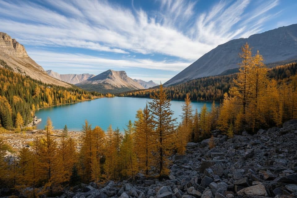
  • Scenic progression from forest and meadows to Hidden Lake and a rocky summit ridge
  • Well-defined approach and a rewarding summit objective for experienced hikers

Heads up

  • Long approach makes this a committing full-day outing
  • Route becomes faint and loose above Hidden Lake, with exposed alpine weather
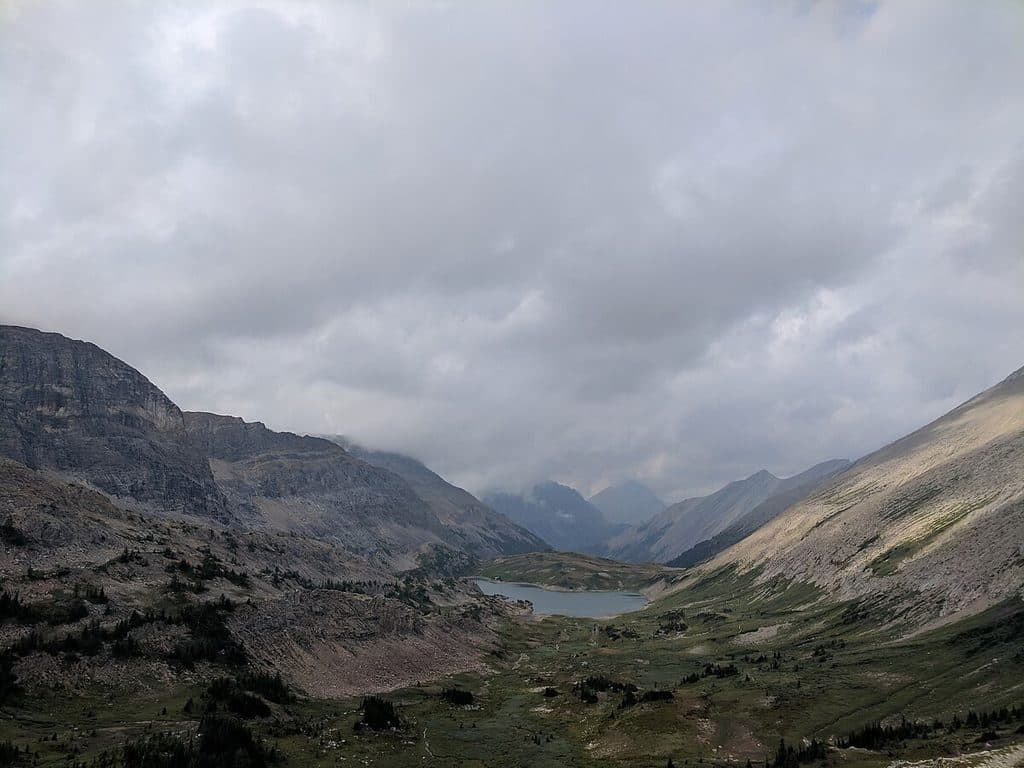
Mount Richardson is the highest summit in the Skoki region and a rewarding but committing alpine objective. The long approach leads from the Lake Louise Ski Resort area through subalpine forest, open meadows, Hidden Lake, and a broad summit ridge with views toward Pika Peak, Ptarmigan Peak, Richardson Glacier, and the surrounding Rockies.
Parkwolf’s verdictWhy go

Map & elevation

The route

Loading the Banff map
Full map
Elevation1,701–3,042 m
TrailheadFish Creek Trailhead (Skoki Lodge Road)51.44020, -116.15171
Keep this map with you offline in the Parkwolf app

Plan your hike

Before you go

Parking

Park in the designated Fish Creek Trailhead area near Lake Louise Ski Resort on Whitehorn Road, then follow the access road toward Skoki Lodge. Do not use the Lake Louise or Moraine Lake shuttle lots as the trailhead, and do not park along the road. A national park pass is required for park access.

Safety

Difficult, exposed alpine scramble with loose scree, short rock bands, faint tread, and route-finding above Hidden Lake. Weather can change quickly and snow may obscure the ridge route. Carry layers, navigation equipment, emergency supplies, and bear spray; travel with others. Check current Parks Canada trail conditions and avalanche information before starting.

8 active Banff alerts

  • ClosureBaker Lake and Hidden Lake campgrounds closedMentions Hidden Lake, referenced in this guideCamping is prohibited at Baker Lake and Hidden Lake campgrounds because a grizzly bear entered campsites and investigated tents and gear; the closures reduce risk to visitors and the bear.Official details
  • ClosureRed Deer River valley closed during ceremonial bison harvestThe Red Deer River valley bottom is closed to the public during an Indigenous ceremonial bison hunt taking place through November, for public safety during the harvest.Official details
See all 8 alerts
A park ranger sits on a dash-mounted phone, talking, as Parkwolf’s Tour Guide plays “Army Cutworm Moths: A Grizzly Bear Buffet” on Grand Loop Road below Dunraven Pass in Yellowstone
Parkwolf Tour GuideThe highest, rockiest slopes around here are a summer buffet for grizzly bears.

Banff Tour Guide

Your drive to Mount Richardson, narrated.

Parkwolf is a GPS audio tour guide for Banff National Park. As you drive, it chimes in with what’s ahead: hidden gems, upcoming stops, history, geology, and wildlife, right through your car’s speakers.

Recorded for this trailhead

Lake Louise Ski Resort and Summer Gondola
Listen
“You're nearing the Lake Louise Ski Resort, which is a major hub for both winter skiing and summer sightseeing. In summer, the main attraction is the gondola ride up Mount Whitehorn.”

Plays as you drive up to this trailhead in the Parkwolf Banff Tour Guide.

More stories near here in the app

  • Grizzly Buffet on the Ski Slopes
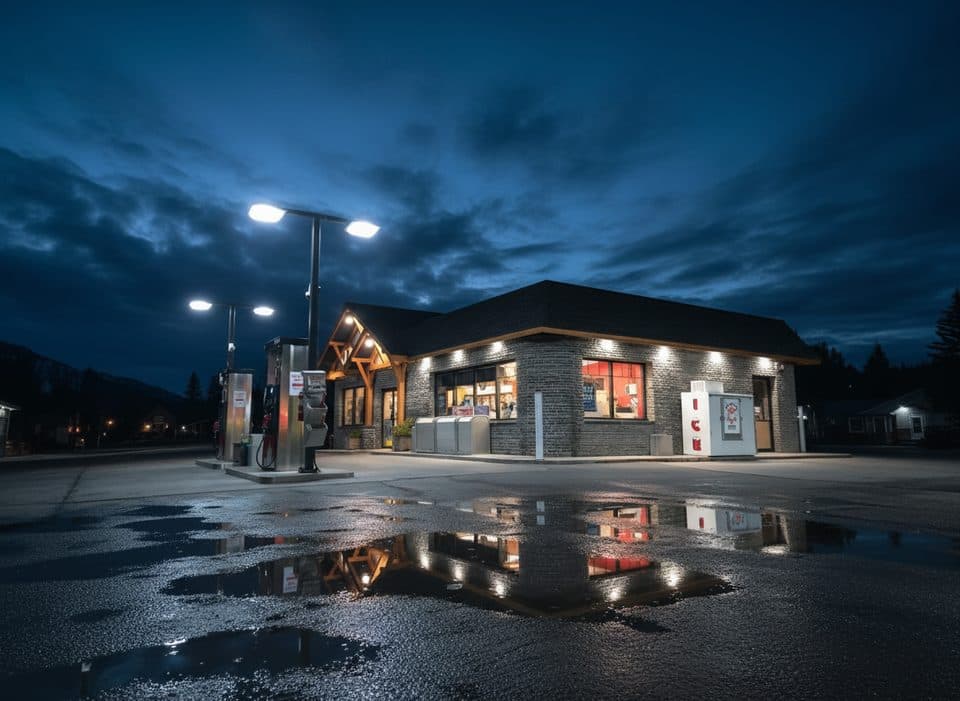
  • Lake Louise Petro-Canada: A Key Fuel Stop
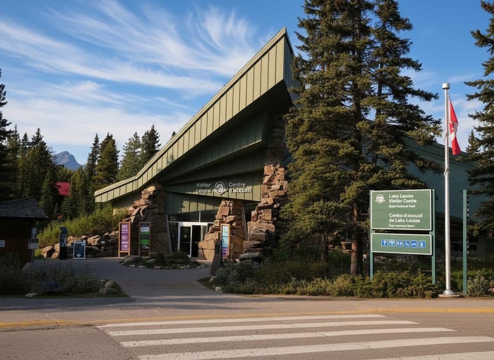
  • Lake Louise Village: Your Base for Adventure
  • The White-tailed Ptarmigan: Snow Birds of the Larch Zone
  • 178 audio storiesacross Banff’s roads, triggered by GPS as you drive
  • Wildlife heatmapsfor Grizzly Bear, Brown Bear, Gray Wolf, and 13 more
  • Works offlinemaps, 177 trails, 236 places, and audio download before you lose signal
  • CarPlay readysimple controls built for the drive
★★★★★
“…Loved the commentary as you drove thru. I’m sure the app can do more than I know but the tips were very helpful. I’m gonna use it when we go to Banff next month.”
tesja22App Store review
Download Parkwolf on the App StoreGet Parkwolf on Google Play

4.7 from 8,600+ ratings

Trail guide

Hiking Mount Richardson

Route type, distance, time, and difficultyThis is a difficult out-and-back scramble from the Fish Creek Trailhead near Lake Louise Ski…

This is a difficult out-and-back scramble from the Fish Creek Trailhead near Lake Louise Ski Resort. The visitor distance is about 13.5 miles (21.7 km) round trip, with roughly 4,430 feet (1,350 m) of elevation gain. Allow about 6–9 hours for the full outing; the time depends heavily on route-finding, footing, weather, and your pace. The mapped line is stored once in the outbound direction from the trailhead to the summit, while the length and duration describe the complete return trip.

Route overviewStart at the designated Fish Creek Trailhead near the ski resort and follow the rough access…

Start at the designated Fish Creek Trailhead near the ski resort and follow the rough access road toward Skoki Lodge. Continue on the Skoki approach toward Boulder Pass, then take the Hidden Lake turnoff and pass the Hidden Lake campground on the way to Hidden Lake. From the lake, climb the steep grassy slope to the south ridge of Mount Richardson. Follow the cairned, sometimes faint ridge route across rocky terrain and scree to the broad summit area, then retrace the same route to the trailhead.

Trail character and preparationThe approach is a long mountain hike, but the route above Hidden Lake becomes an easy scramble…

The approach is a long mountain hike, but the route above Hidden Lake becomes an easy scramble with loose rock, scree, indistinct tread, and route-finding around short rock bands. The upper route is exposed to wind and changing alpine weather, and snow can make the ridge difficult to follow even in summer. Carry layers, sturdy footwear, food, water or a filter, navigation equipment, and bear spray. Travel with others and be prepared for an emergency overnight.

Access and regulationsPark only in the designated Fish Creek area and do not substitute the Lake Louise or Moraine…

Park only in the designated Fish Creek area and do not substitute the Lake Louise or Moraine Lake shuttle lots for this trailhead. Dogs must be leashed and under physical control. A national park pass is required for park access; overnight stays at Hidden Lake require the appropriate backcountry reservation and permit. Check the current Parks Canada trail conditions, warnings, and avalanche information before setting out.

Wildlife

Wildlife in Banff

All Banff wildlife maps

Sighting maps show where each species has been reported across Banff. Wildlife moves, so no sighting is guaranteed.

Keep exploring

Near Mount Richardson

See it all on the map

Trails that start nearby

Places near the trailhead

Parkwolf’s Banff ranking

Top-rated trails in Banff

All 177 trails
  1. 1Moraine Lake RockpileEasy · 0.8 km
  2. 2Larch Valley and Sentinel PassChallenging · 11.1 km
  3. 3Sentinel PassChallenging · 11.3 km
  4. 4Parker Ridge TrailEasy · 5.5 km
  5. 5Big Beehive TrailModerate · 10.5 km
  6. 6Sunshine Meadows LoopModerate · 11.9 km

Take Parkwolf to Banff.

The audio tour guide for the drive, plus offline maps, trails, and wildlife heatmaps for when the signal drops.

4.7 from 8,600+ ratings

Download Parkwolf on the App StoreGet Parkwolf on Google Play