Parking
Park at the Johnson Lake Day-use Area, about 12 km east of Banff. Toilets and picnic tables are at the trailhead. Parking is limited on busy summer days.
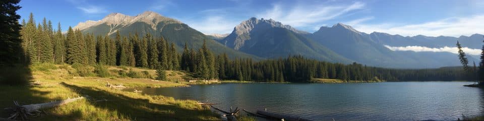
Banff National Park, AB
Easy lakeside loop with mountain views and quiet picnic stops
Overview
Map & elevation
Plan your hike

The highest, rockiest slopes around here are a summer buffet for grizzly bears.
Banff Tour Guide
Parkwolf is a GPS audio tour guide for Banff National Park. As you drive, it chimes in with what’s ahead: hidden gems, upcoming stops, history, geology, and wildlife, right through your car’s speakers.
Recorded for this area
Ancient Campsites of Lake Minnewanka“This is Lake Minnewanka. The Stoney Nakoda call it Minn-waki, or 'Water of the Spirits.”
Plays on the road 2 km from the trailhead in the Parkwolf Banff Tour Guide.
More stories near here in the app
“…Loved the commentary as you drove thru. I’m sure the app can do more than I know but the tips were very helpful. I’m gonna use it when we go to Banff next month.”


Trail guide
The complete loop is 1.8 miles (2.9 km) from the Johnson Lake Day-use Area, and takes about an hour. It rolls gently around the shoreline, with a few short climbs and roughly 90 m of gain. Expect water views, forest, and Cascade Mountain and Mount Rundle in the distance.
Walk either direction. Upper and lower shoreline paths add variety, while packed dirt and gravel keep the walk approachable. Roots and occasional uneven sections are part of the route, but this is a good family outing when you want scenery without a long commitment.
Watch the small bays for fish in the shallows, and pause at the picnic spots near the day-use area. For photos, frame the lake with the mountain backdrop rather than filling the phone with water alone. Interpretive signs near the bridge add context about the lake and surrounding landscape.
Parking is limited on busy summer days, and the day-use area is about 12 km east of Banff. Toilets and picnic tables are at the trailhead. Dogs must remain on leash. In winter, bring traction for icy footing; the access road may close for wildlife management.
Wildlife
 122 sightingsGrizzly BearMost seen around 6 AMSighting map
 150 sightingsBrown BearMost seen around 6 PMSighting map
 44 sightingsGray WolfMost seen around 6 AMSighting map
 12 sightingsRiver OtterMost seen around 8 PMSighting map
 67 sightingsMooseMost seen around 8 PMSighting map
 465 sightingsBlack BearMost seen around 9 PMSighting map
Sighting maps show where each species has been reported across Banff. Wildlife moves, so no sighting is guaranteed.
Keep exploring
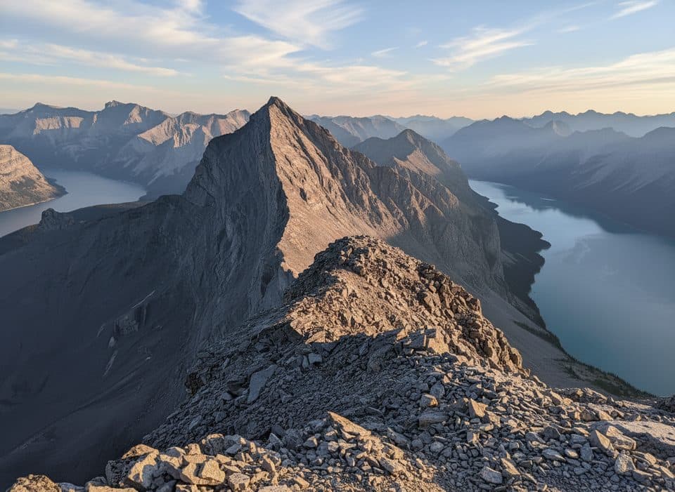 ChallengingMount Inglismaldie Route16.6 km · 9 hr · 0.9 km awayA long, loose Class 2–3 scramble to Mount Inglismaldie with wide Lake Minnewanka views.
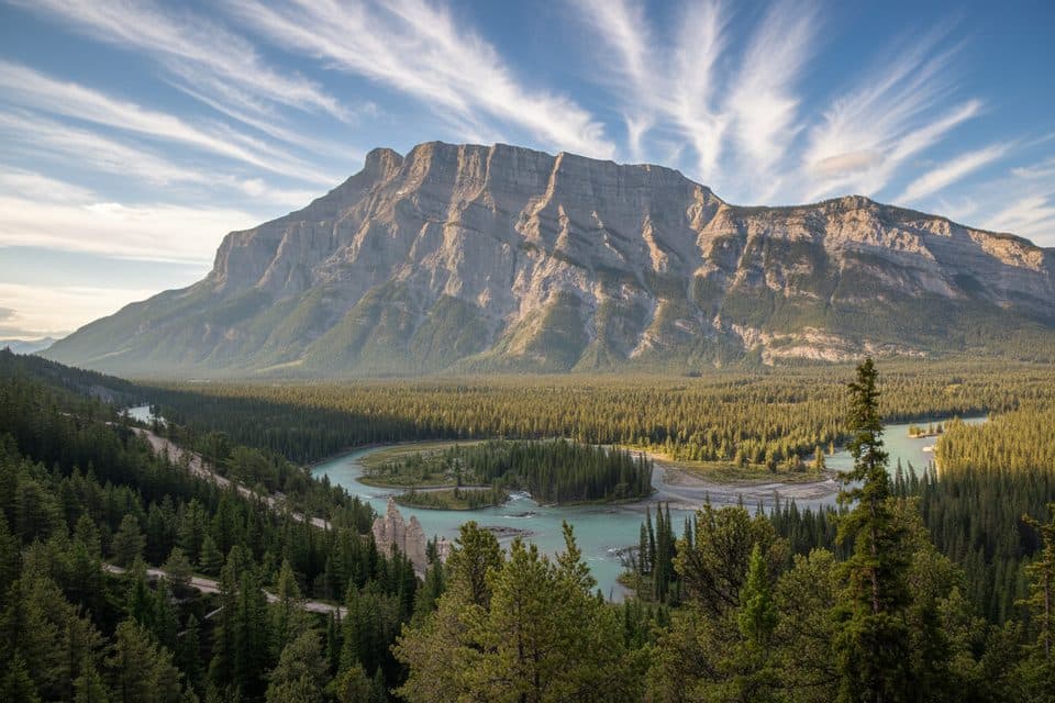 EasyHoodoos Interpretive Trail1.4 km · 45 min · 2.4 km awayEasy 1.4 km loop to Banff's hoodoos and Bow Valley viewpoints
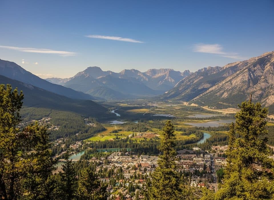 ModerateTunnel Mountain Bench Trail9.7 km · 3 hr · 2.5 km awayA rolling loop of singletrack, views, and just enough challenge.EasyCascade Ponds Loop2.8 km · 1 hr · 3.4 km awayEasy Cascade Ponds loop with footbridges, mountain views, and picnic-area access.EasyTwo Jack Lake Trail3.4 km · 1.3 hr · 3.5 km awayEasy out-and-back along Two Jack Lake to the Lakeside Campground
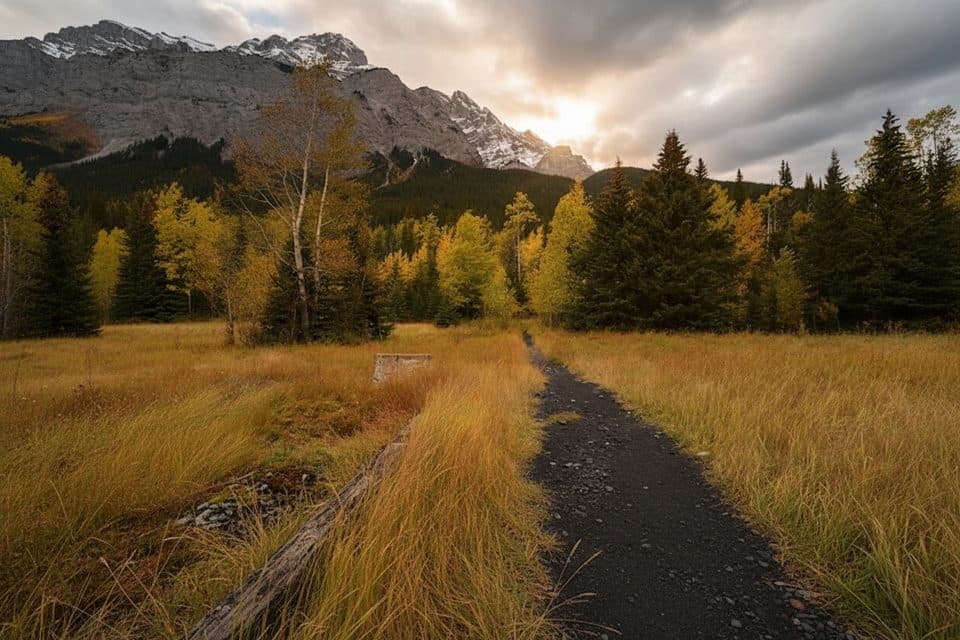 EasyLower Bankhead Interpretive Trail1.1 km · 30 min · 4.4 km awayGhost town loop through coal mine ruins with Cascade Mountain views
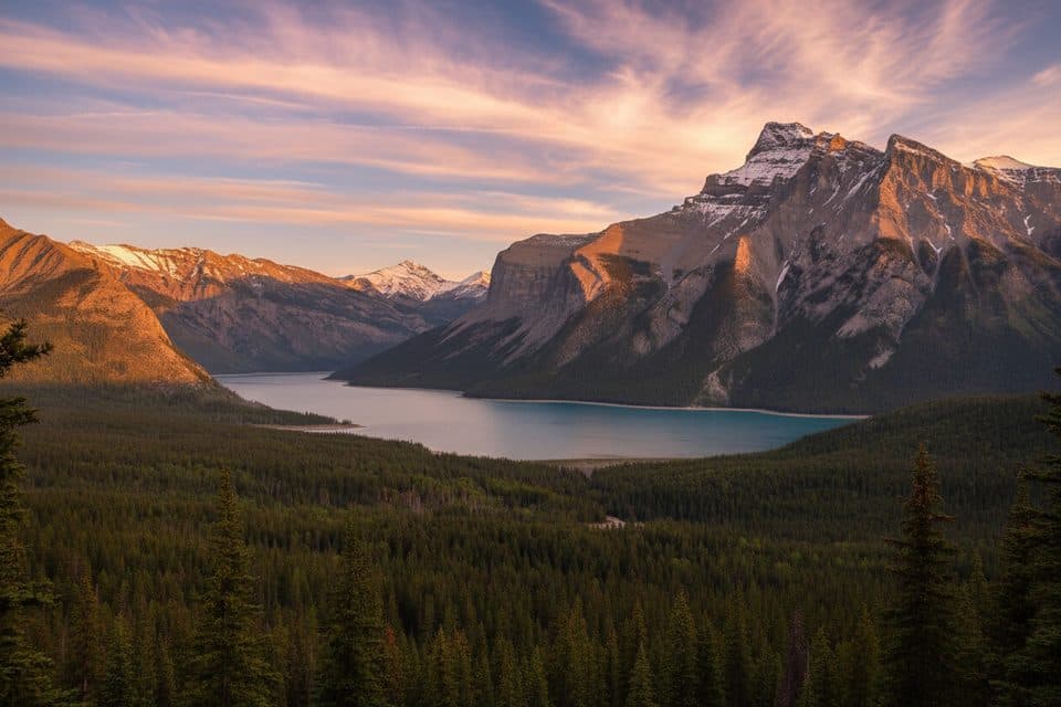 ModerateC-Level Cirque7.6 km · 3 hr · 4.7 km awaySteep forest climb to a dramatic cirque with big Lake Minnewanka views
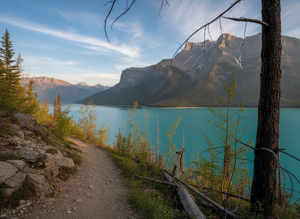 EasyMinnewanka Trail15.3 km · 4.5 hr · 5.5 km awayRolling Lake Minnewanka shoreline walk to the Aylmer Pass junction
 Sight · 0.6 km awayJohnson LakeSmall, swimmable lake with easy loop and picnic area
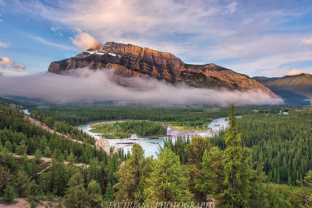 Sight · 2.4 km awayHoodoos ViewpointShort walk to quirky hoodoos and sweeping Bow Valley views
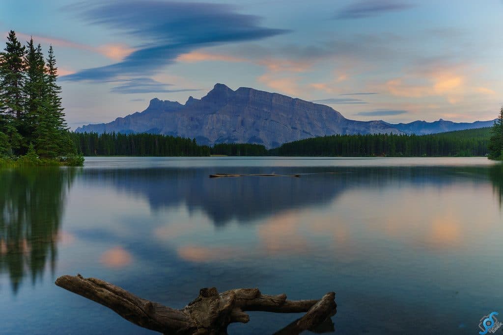 Sight · 3.2 km awayTwo Jack LakeSerene Rundle reflections, easy paddling, and lakeside picnics
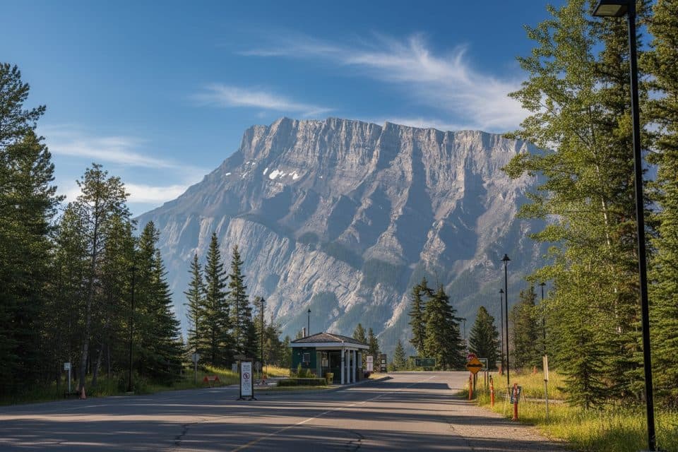 Campground · 3.3 km awayTunnel Mtn. Trailer CourtFull hookup RV base near town with big mountain views
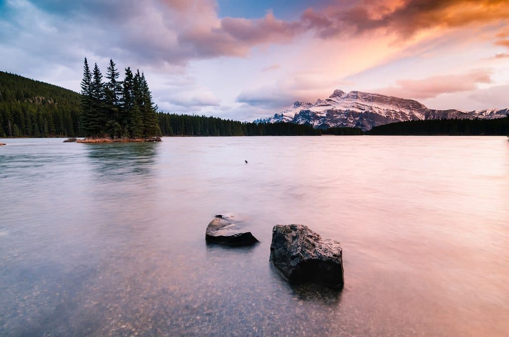 Campground · 3.4 km awayTwo Jack MainForested, no-frills basecamp minutes from Two Jack Lake and Minnewanka
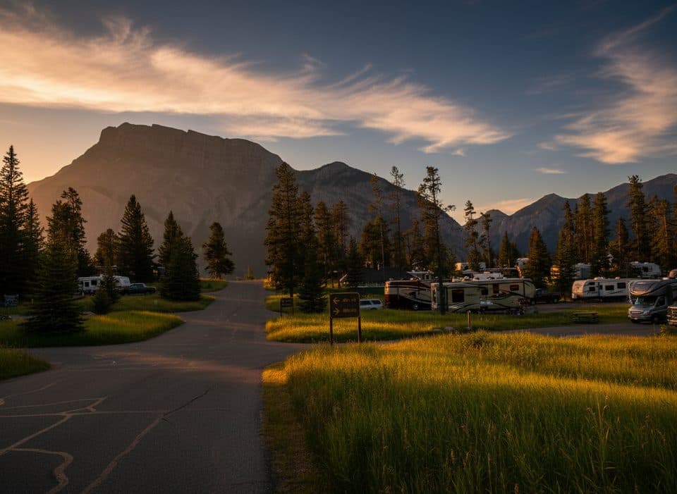 Campground · 3.7 km awayTunnel Montagne RV Park IIBig RV basecamp near town with hookups and mountain views
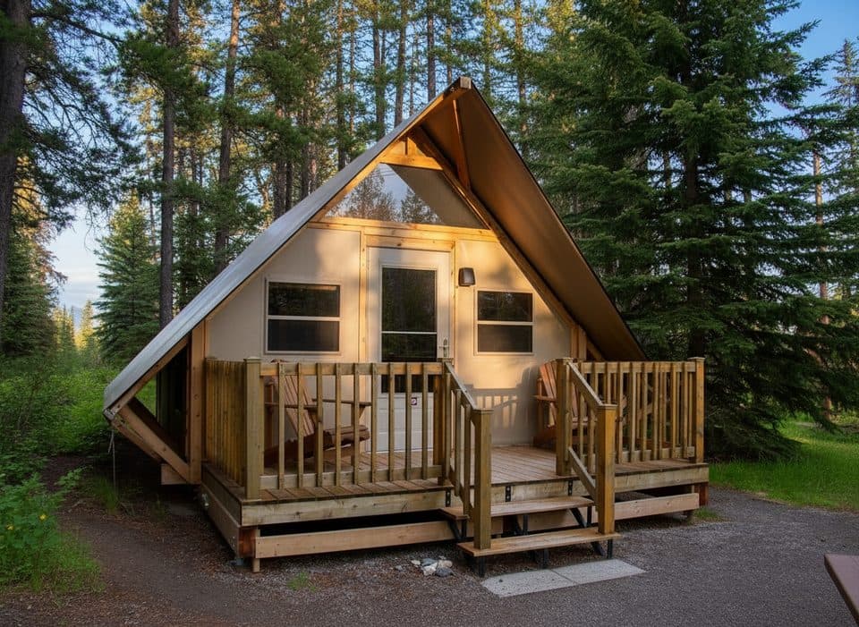 Campground · 3.7 km awayTunnel Mtn. Village II oTENTikHeated canvas cabins near town, zero tent setup needed
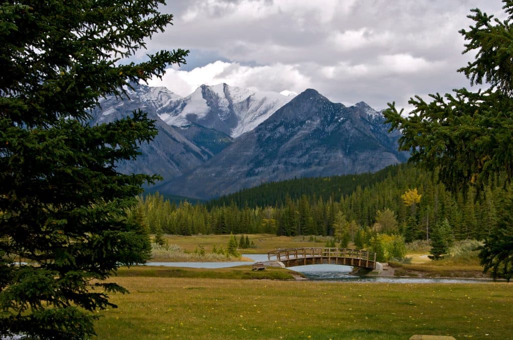 Picnic area · 3.7 km awayCascade PondsEasy picnic ponds with bridges and big Cascade Mountain views
Parkwolf’s Banff ranking

The audio tour guide for the drive, plus offline maps, trails, and wildlife heatmaps for when the signal drops.





