Parking
Hoodoos Viewpoint and Day-use Area on Tunnel Mountain Road; Parks Canada lists limited paved parking, including three accessible stalls, and four accessible gender-neutral outhouses.
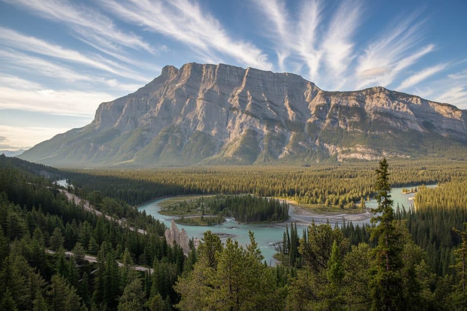
Banff National Park, AB
Easy 1.4 km loop to Banff's hoodoos and Bow Valley viewpoints
Overview
This short, easy loop is Banff's compact hoodoo outing: a wooded path leads to open viewpoints over the Bow Valley, with the pale spires of the hoodoos and Mount Rundle as the payoff. Interpretive stops and benches make it a relaxed choice when you want a scenic walk close to town.
 Parkwolf’s verdictWhy go
Map & elevation
Plan your hike

The highest, rockiest slopes around here are a summer buffet for grizzly bears.
Banff Tour Guide
Parkwolf is a GPS audio tour guide for Banff National Park. As you drive, it chimes in with what’s ahead: hidden gems, upcoming stops, history, geology, and wildlife, right through your car’s speakers.
Recorded for this trailhead
Banff Hoodoos Viewpoint and a Photo Tip“You're coming up on the stop for the Banff Hoodoos, those thin rock pillars rising from the hillside. They were formed over centuries as a cap of hard rock protected the softer stone underneath from eroding away.”
Plays as you drive up to this trailhead in the Parkwolf Banff Tour Guide.
More stories near here in the app
“…Loved the commentary as you drove thru. I’m sure the app can do more than I know but the tips were very helpful. I’m gonna use it when we go to Banff next month.”


Trail guide
Start at the Hoodoos Viewpoint and Day-use Area and follow the signed interpretive path to the hoodoo lookouts. The complete loop is listed at about 1.4 km (0.9 mile), with roughly 32 m of gain, and usually takes 30–60 minutes depending on stops. The route reconstructed here follows the mapped Hoodoos Interpretive Trail, the short Hoodoos return section and Don's Bypass back to the access point. Do not combine it with the separate Surprise Corner to Hoodoos viewpoint route, which is a substantially longer 4.4 km one-way experience.
The loop moves between compacted trail and wooded viewpoints, with broad views across the Bow Valley and the distinctive hoodoo formations below Tunnel Mountain. Look for interpretive information along the route and keep wildlife at a respectful distance.
The Hoodoos Viewpoint and Day-use Area is on Tunnel Mountain Road, about 4 km northeast of downtown Banff. Parks Canada lists limited paved parking, including three accessible stalls, and four accessible gender-neutral outhouses. The loop has gentle grades but uneven or loose sections and should not be treated as a fully wheelchair-accessible trail. Bring traction in icy conditions and stay on the signed paths.
Wildlife
 122 sightingsGrizzly BearMost seen around 6 AMSighting map
 150 sightingsBrown BearMost seen around 6 PMSighting map
 44 sightingsGray WolfMost seen around 6 AMSighting map
 12 sightingsRiver OtterMost seen around 8 PMSighting map
 67 sightingsMooseMost seen around 8 PMSighting map
 465 sightingsBlack BearMost seen around 9 PMSighting map
Sighting maps show where each species has been reported across Banff. Wildlife moves, so no sighting is guaranteed.
Keep exploring
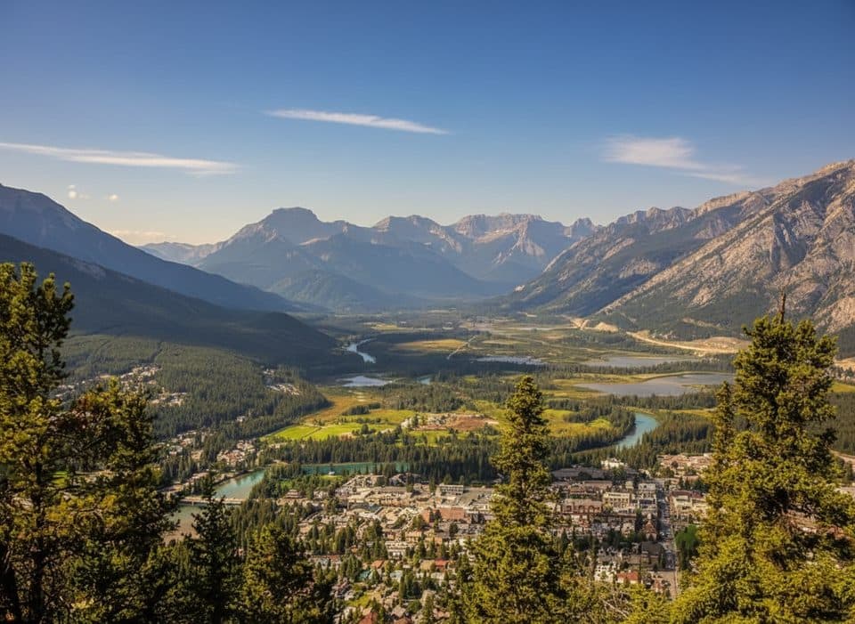 ModerateTunnel Mountain Bench Trail9.7 km · 3 hr · 0.1 km awayA rolling loop of singletrack, views, and just enough challenge.
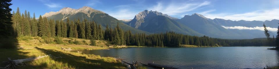 EasyJohnston Lake Loop2.9 km · 1 hr · 2.4 km awayEasy lakeside loop with mountain views and quiet picnic stopsEasyCascade Ponds Loop2.8 km · 1 hr · 2.8 km awayEasy Cascade Ponds loop with footbridges, mountain views, and picnic-area access.
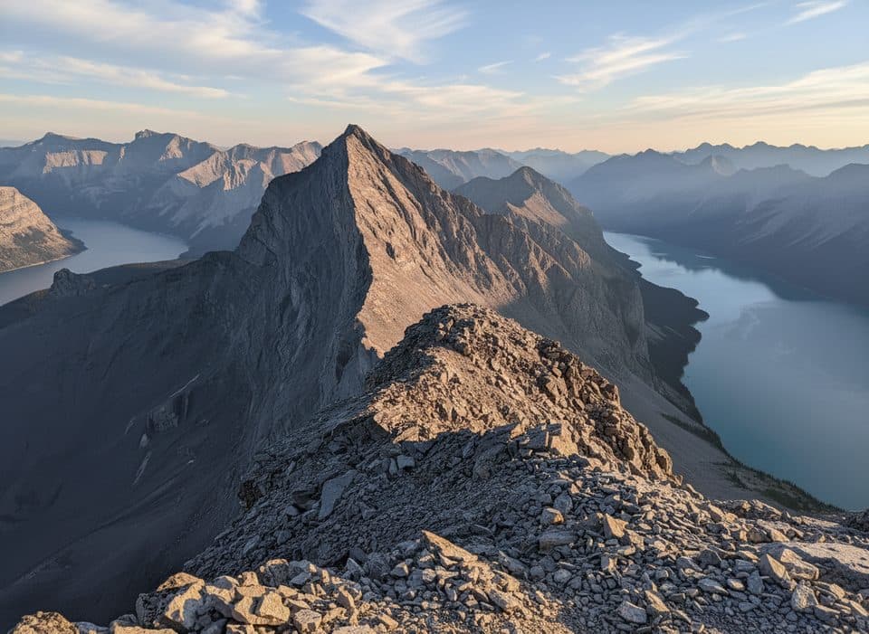 ChallengingMount Inglismaldie Route16.6 km · 9 hr · 2.9 km awayA long, loose Class 2–3 scramble to Mount Inglismaldie with wide Lake Minnewanka views.
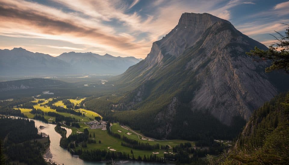 EasyTunnel Mountain Summit Trail4.5 km · 2 hr · 3.3 km awayBanff’s quickest summit for big town views with minimal effort.EasySpray River East Trail11.3 km · 3.5 hr · 3.5 km awayForested multi-use walk from Golf Course Road to the Spray River bridge
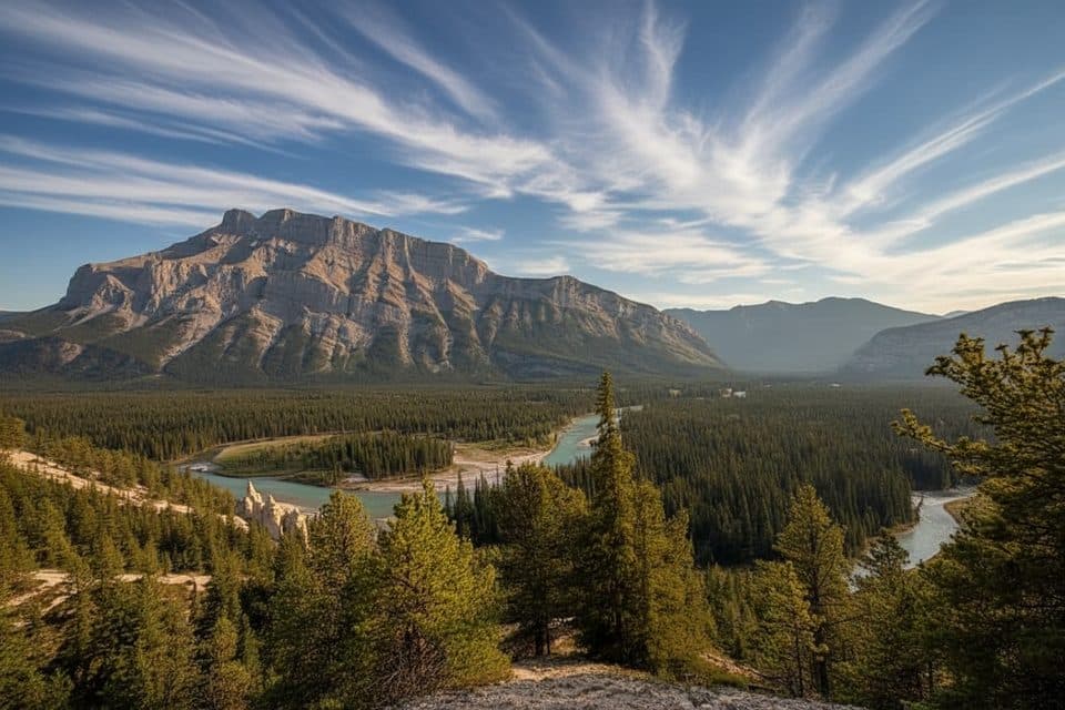 EasySurprise Corner to Hoodoos Trail9.7 km · 3 hr · 3.6 km awayScenic Banff walk linking Surprise Corner and the Hoodoos viewpoints
 EasyHoodoos Trail8.9 km · 3 hr · 3.6 km awayModerate Bow River trail linking Surprise Corner and the Banff Hoodoos viewpoints.
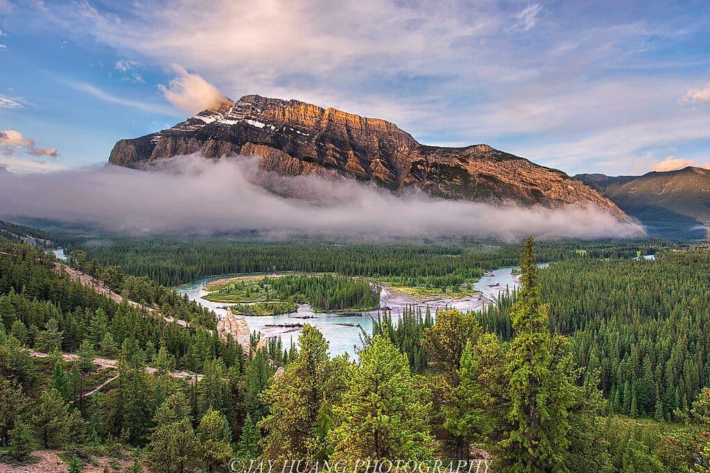 Sight · At the trailheadHoodoos ViewpointShort walk to quirky hoodoos and sweeping Bow Valley views
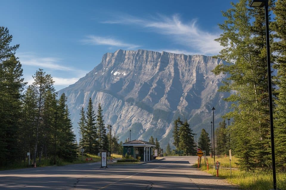 Campground · 1 km awayTunnel Mtn. Trailer CourtFull hookup RV base near town with big mountain views
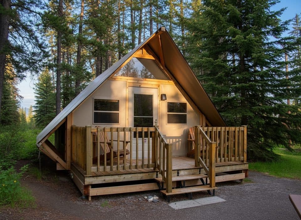 Campground · 1.4 km awayTunnel Mtn. Village II oTENTikHeated canvas cabins near town, zero tent setup needed
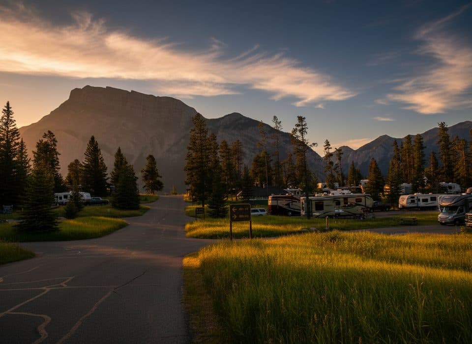 Campground · 1.4 km awayTunnel Montagne RV Park IIBig RV basecamp near town with hookups and mountain views
 Lodging · 2 km awayHI Banff Alpine CentreLively Tunnel Mountain hostel with free bus passes and mountain views
 Sight · 2 km awayThe Fairmont Banff Springs Golf CourseBucket-list mountain golf under Rundle with classic Stanley Thompson design
 Lodging · 2.2 km awayBuffalo Mountain LodgeRustic Tunnel Mountain retreat with fireplaces, hot tub, and forest views
 Lodging · 2.4 km awayHotel Canoe & SuitesNew Banff Ave hotel with hot pools and a handy on-site eatery
Parkwolf’s Banff ranking
The audio tour guide for the drive, plus offline maps, trails, and wildlife heatmaps for when the signal drops.





