
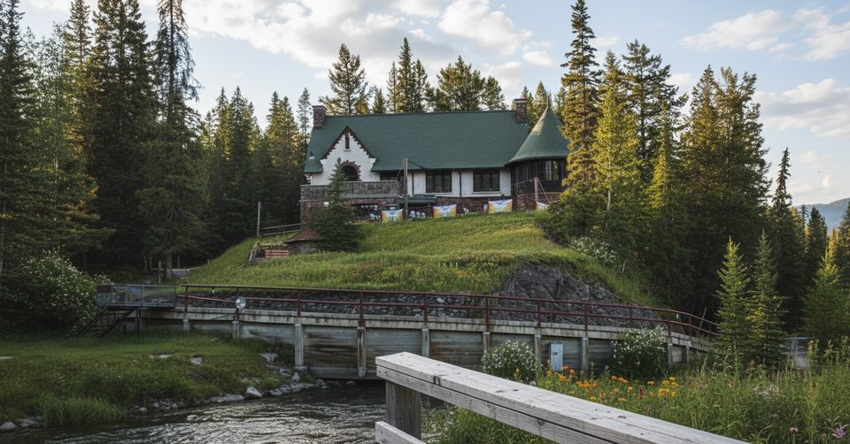
Place · 0.1 mi away
Challenging
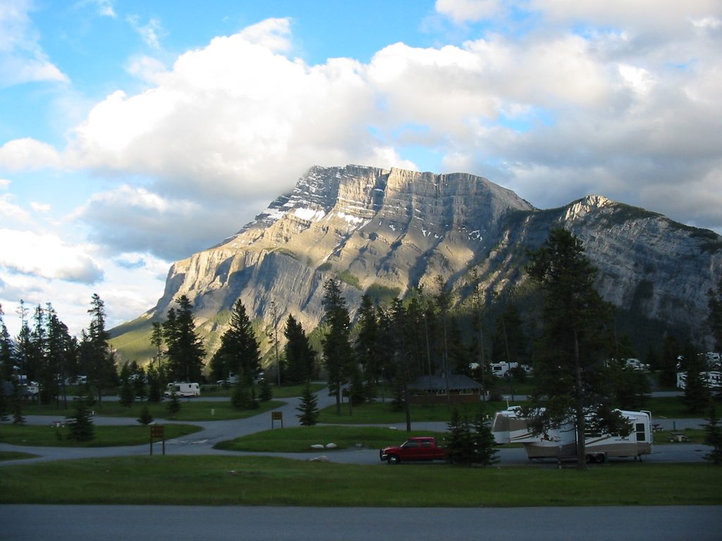
Mount Rundle from the Banff side is a true Rockies scramble: steep, sustained, and spectacular. It’s an out-and-back of about 6.8 miles total (≈11 km) with a massive 5,175 ft / 1,577 m of gain. The route starts near Bow Falls/Spray River, climbs forested switchbacks, then breaks into loose scree and limestone slabs before a committing ridge to the summit. If you’re not comfortable with hands-on scrambling and exposure, pick another objective.
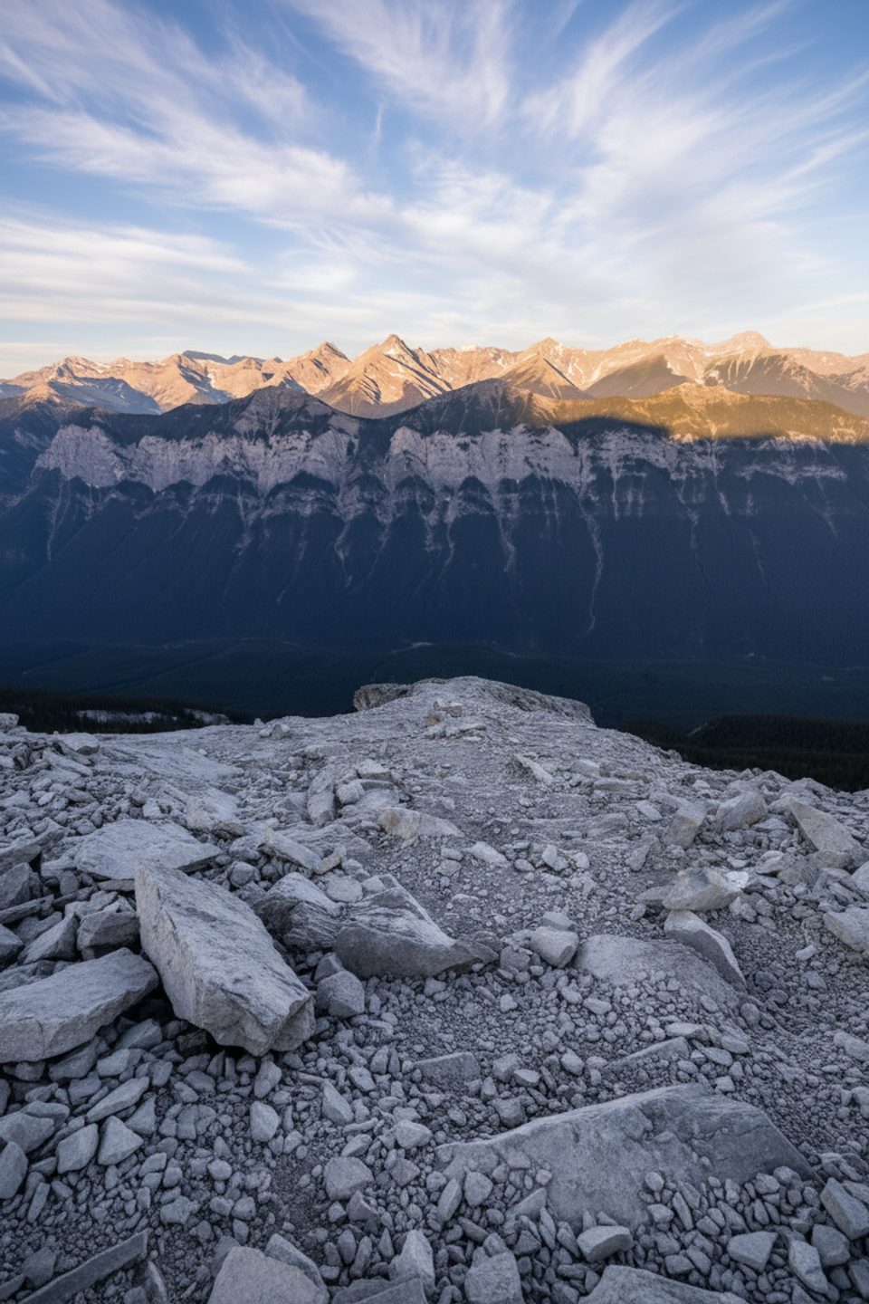
Park at Bow Falls Day Use and head to the Spray River bridge by Golf Course Road. Follow the Spray River East approach to the Mount Rundle junction, then grind uphill through forest. Above treeline the character flips to rubble and slab. Do not head straight up the Central Gully—those smooth slabs have a bad track record. Instead, traverse and follow the established scrambling line. The final ridge has real exposure and big air; the views over Banff, the Bow Valley, and Lake Minnewanka are the reward. Expect the descent to feel longer and sketchier thanks to loose scree.
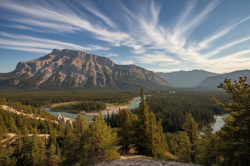
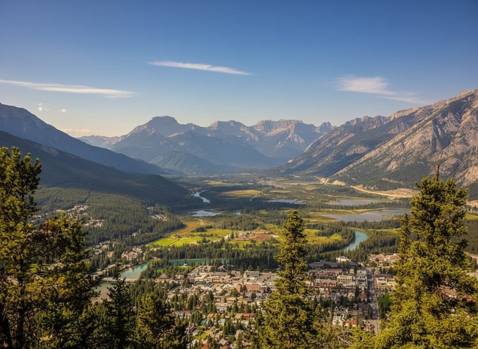
From the top you’ll scan Banff townsite, Sulphur Mountain, and a sweep of peaks stretching toward Minnewanka. Rundle’s layered limestone shows off classic folding and bedding planes. The mountain is actually a multi-peak ridge running from Banff to Canmore, named for Reverend Robert Rundle; the Cree name Waskahigan Watchi means “house mountain.” You’ll also start near buildings faced with local “Rundle stone,” a neat link between the rock under your boots and the architecture below.
Aim for late June through September—only when the route is fully snow-free. Lingering early-season snow or ice turns slabs and scree into a no-fall zone. Start early to dodge afternoon storms and to give yourself the full 7–8 hours most parties need.
Strong hikers and scramblers who like hands-on terrain, don’t mind exposure, and want a big day above town will love Rundle. Newer hikers or those uneasy with loose rock should skip this one. If you’re eyeing other lines on the massif, don’t confuse this Banff summit route with EEOR (East End of Rundle) from Canmore—it’s a different objective on the same ridge.
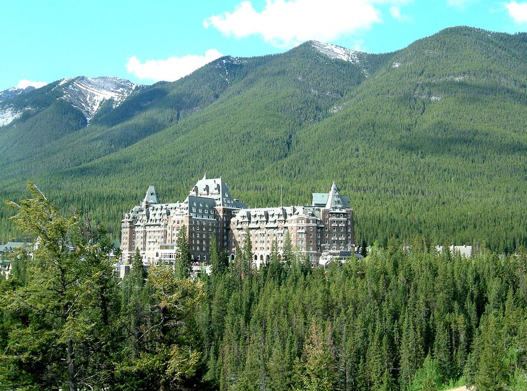
Park at Bow Falls Day Use near the Fairmont Banff Springs; walk to the Spray River bridge on Golf Course Road and follow the Spray River East approach to the signed Mount Rundle junction.
Experienced scramblers only. Steep exposure, loose scree, and route-finding challenges. Avoid the Central Gully; slabs are dangerous. Attempt only snow-free (late June–September). Descent is treacherous; start early and prepare for rapid weather changes.
Place · 0.1 mi away
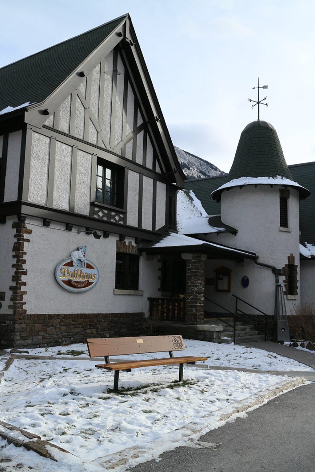
Place · 0.1 mi away
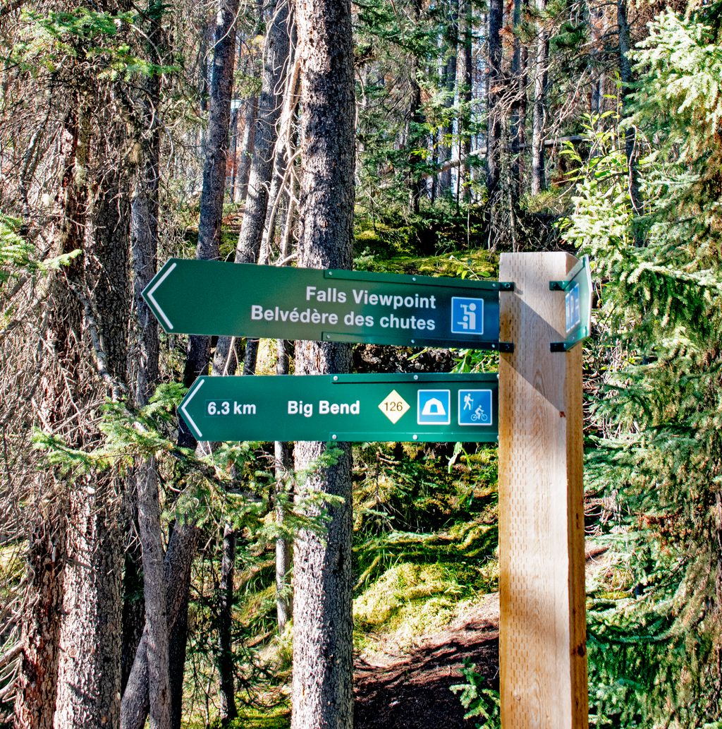
Place · 0.1 mi away
Place · 0.2 mi away
Challenging · 0 mi away
Easy · 0.2 mi away
Moderate · 0.2 mi away
Easy · 0.7 mi away

Parkwolf Tour Guide
