
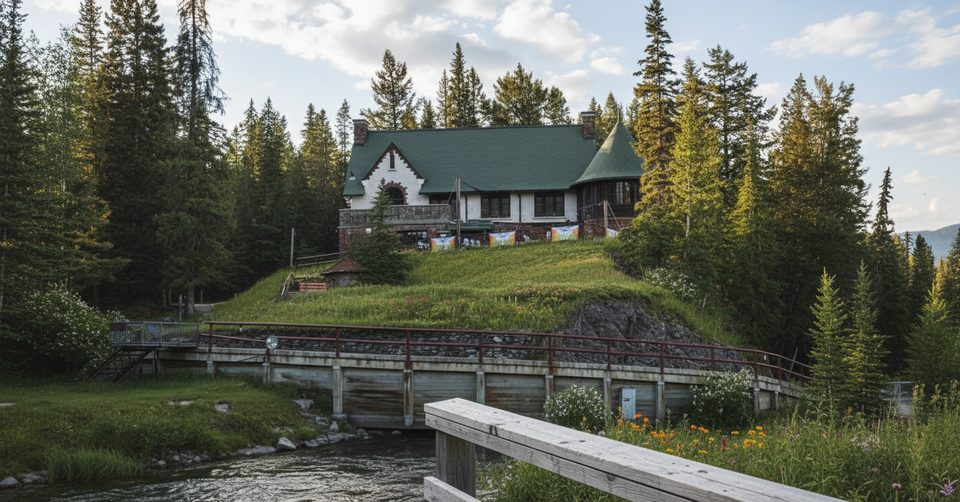
Place · 0.1 mi away
Challenging
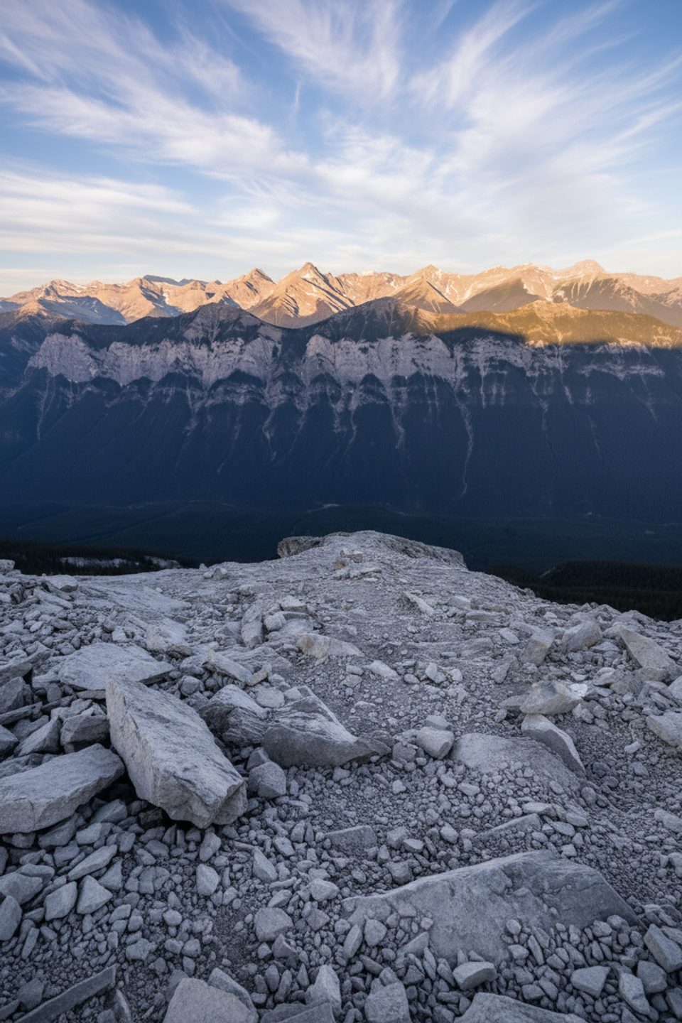
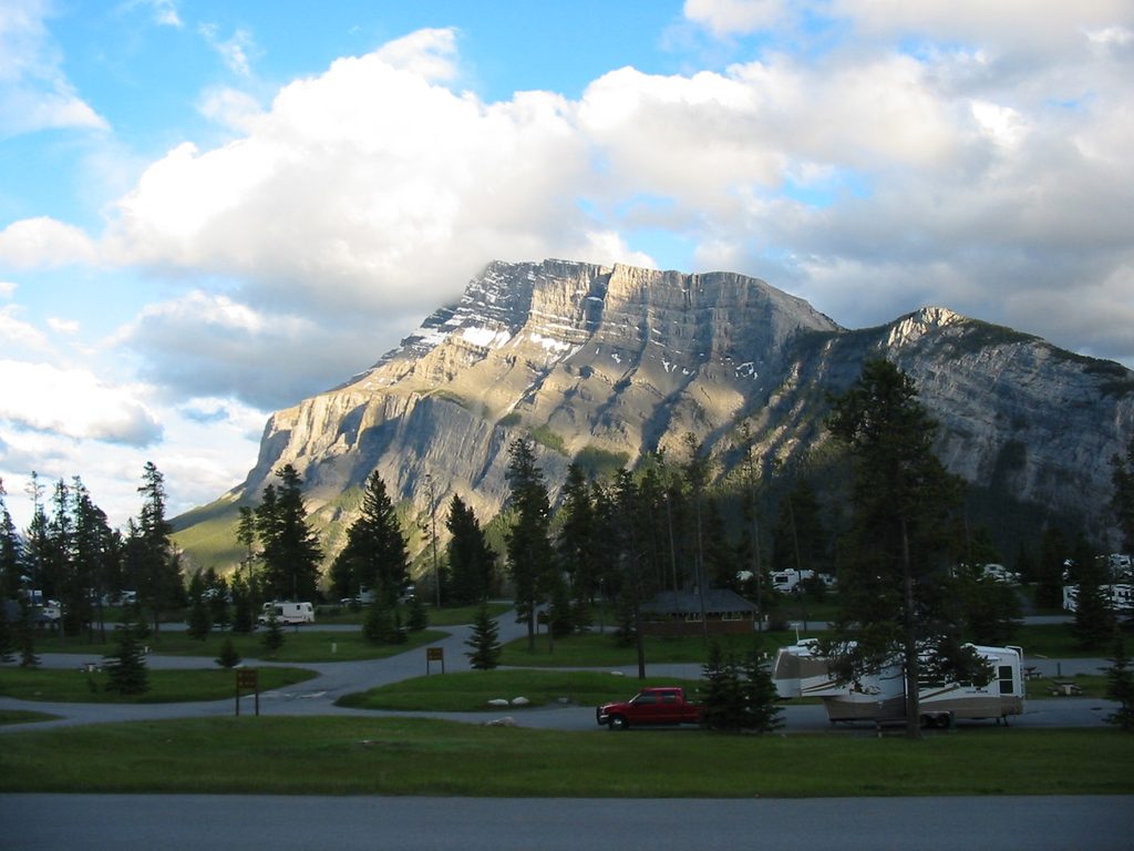
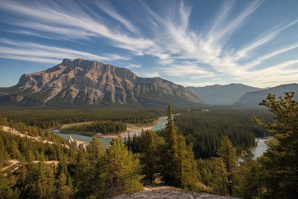
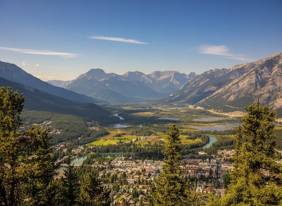
Mount Rundle towers right above Banff, and this classic scramble puts you on its airy spine with huge views of the townsite, Bow Valley, Vermilion Lakes, and surrounding peaks like Cascade and Sulphur. It’s a demanding, non‑technical ascent best for fit hikers comfortable with exposure and loose rock. The route is an out‑and‑back of roughly 9.6 miles total with about 5,100–5,300 feet of gain. If you’re prepared, the 360‑degree summit panorama is one of the Rockies’ great rewards.
Start near the Spray River bridge on Golf Course Road by Bow Falls Day‑use. From the Spray River sign, do not follow the path along the river—take the left‑branching trail uphill, then follow the Spray River East trail about 600 m to the Mount Rundle Trail junction. Steep forested switchbacks lead toward treeline and a band of cliffs. The easiest line trends right, crossing a couple of ravines to reach the area known as the central gully. This is where terrain becomes serious. Stay on the established route that follows Rundle’s gentler right‑hand profile as seen from town. The central gully itself is deceptively dangerous and has been the site of accidents—do not ascend the smooth slabs in the gully. Above treeline, expect hands‑on scrambling on broken limestone and loose scree, with significant exposure.
Rundle is classic Rockies limestone sculpted by tectonic uplift and ice, giving the mountain its striking wedge shape. Below treeline you’ll move through subalpine forest; higher up it’s all rock and sky. Keep an eye out for mountain goats and marmots on the upper slopes.
This is a strenuous, exposed scramble with real route‑finding. Hazards include loose rock, cliff‑band terrain, big drop‑offs, and a notorious route‑finding trap at the central gully. There are no reliable water sources high on the mountain. Rescues are common each summer—this is not a beginner outing.
Aim for late June through September when the route is dry and snow‑free. The west face often melts out earlier than other peaks, but any lingering snow or ice raises the commitment. Start early for cooler temps, stable weather, and a parking spot; afternoon storms are common. You can eyeball snow from around Sulphur Mountain/Upper Hot Springs before committing.
This is the Banff-side Mount Rundle route from the Spray River area—not the East End of Rundle (EEOR) near Canmore, which is a different objective.
Park at Bow Falls Day‑use by the Spray River bridge on Golf Course Road; arrive early as it fills quickly.
Serious scramble with exposure, loose limestone, and tricky cliff‑band terrain. The central gully is deceptively dangerous—do not ascend its smooth slabs. No water high on route; attempt only in dry, snow‑free conditions and start early.
Place · 0.1 mi away
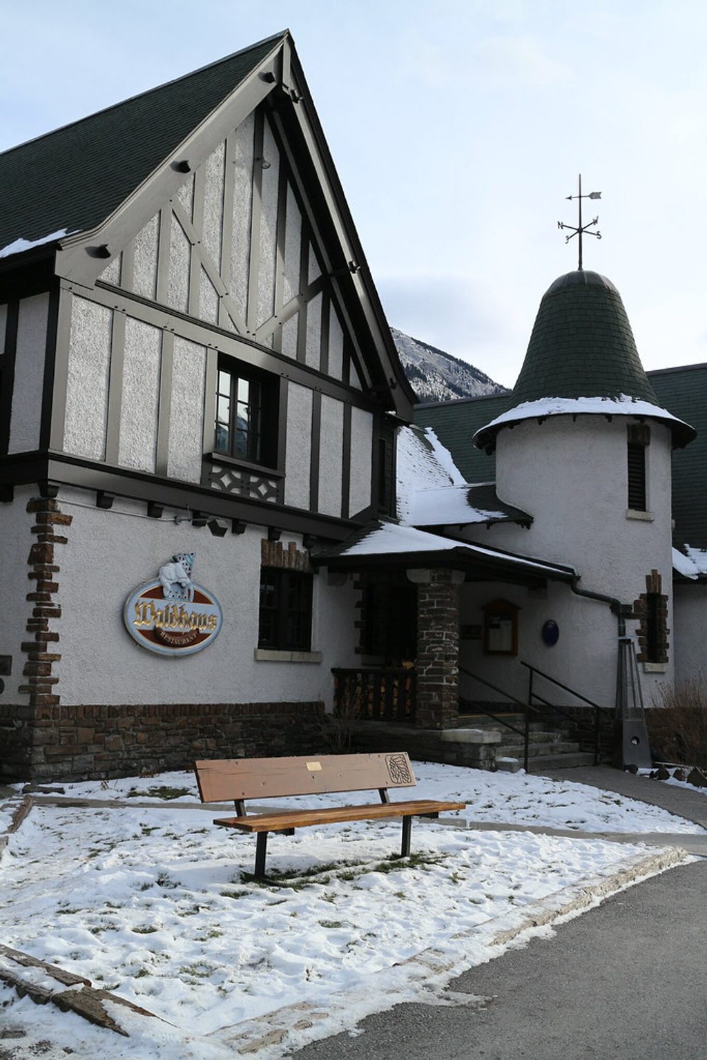
Place · 0.1 mi away
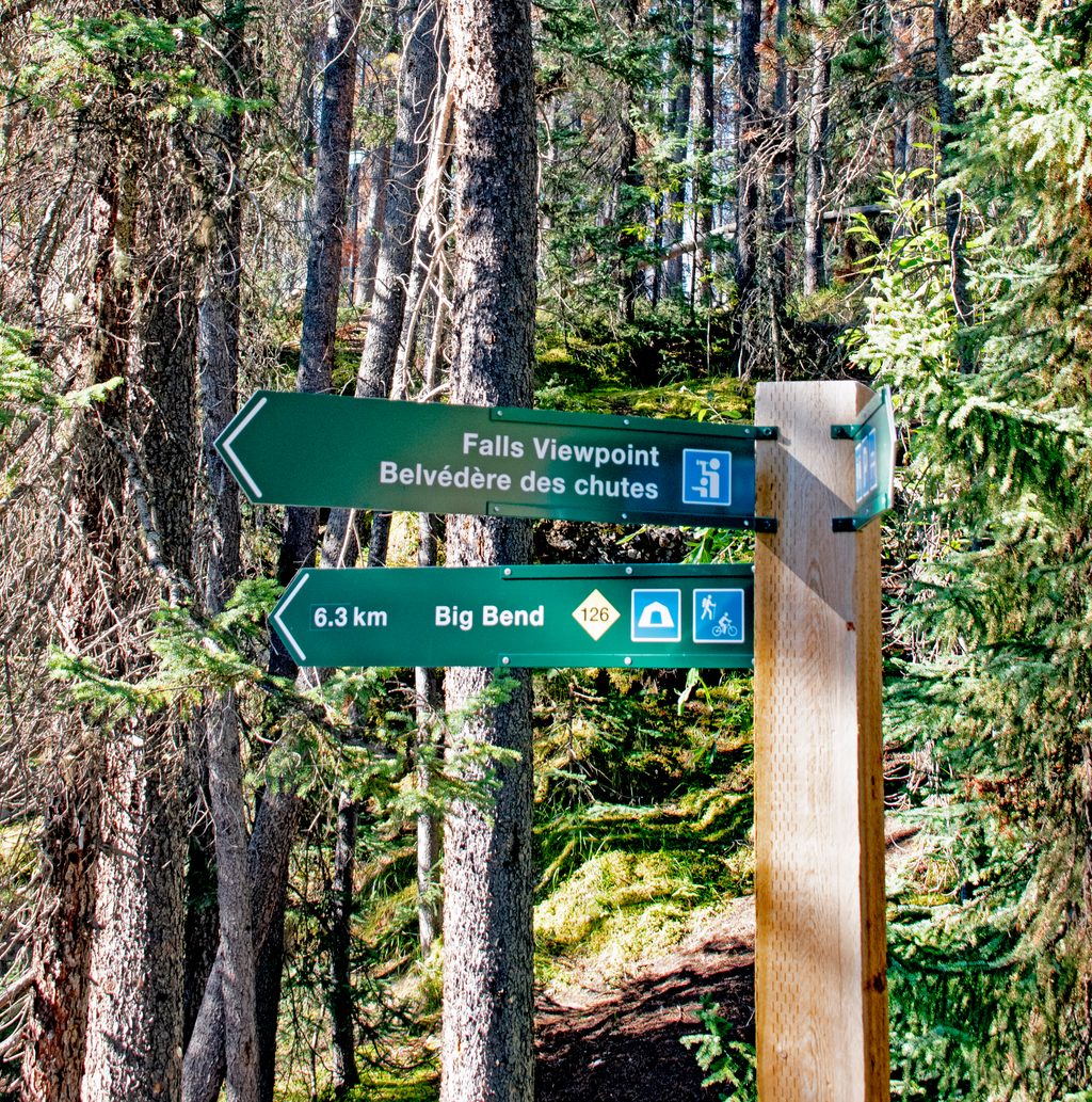
Place · 0.1 mi away
Place · 0.2 mi away
Challenging · 0 mi away
Easy · 0.2 mi away
Moderate · 0.2 mi away
Easy · 0.7 mi away

Parkwolf Tour Guide
