Parking
Rockbound Lake parking area off the Bow Valley Parkway (Hwy 1A) at the base of Castle Mountain.
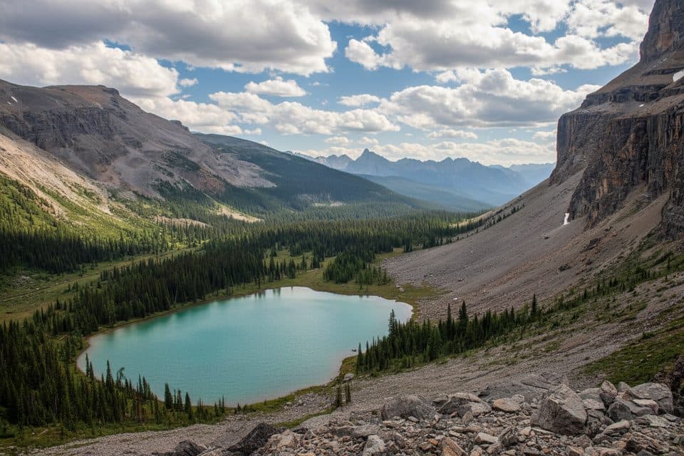
Banff National Park, AB
Two alpine lakes and big Castle Mountain cliffs on a challenging day
Overview
If you want a big mountain feel without a brutal sufferfest, this is your ticket. The out‑and‑back to Tower Lake and Rockbound Lake serves up a two‑for‑one alpine lake day capped by a dramatic amphitheater beneath Castle Mountain’s cliffs. It’s a challenging undertaking with exceptional payoff and fewer crowds than Banff’s headline hikes.
 Parkwolf’s verdictWhy this hike
Map & elevation
Plan your hike

The highest, rockiest slopes around here are a summer buffet for grizzly bears.
Banff Tour Guide
Parkwolf is a GPS audio tour guide for Banff National Park. As you drive, it chimes in with what’s ahead: hidden gems, upcoming stops, history, geology, and wildlife, right through your car’s speakers.
Recorded for this area
Castle Junction: Fuel, Trails, and Mountain Views“The area you're driving into now is Castle Junction, a key stop on the Bow Valley Parkway right below the massive cliffs of Castle Mountain.”
Plays on the road 0.1 km from the trailhead in the Parkwolf Banff Tour Guide.
More stories near here in the app
“…Loved the commentary as you drove thru. I’m sure the app can do more than I know but the tips were very helpful. I’m gonna use it when we go to Banff next month.”


Trail guide
From the Rockbound Lake parking area off the Bow Valley Parkway (Hwy 1A), the trail climbs steadily through quiet lodgepole and spruce forest on a well‑maintained path with flagstones and small bridges in muddy spots. Views are limited early, but around 5.5 km the landscape opens and the cliffs of Castle Mountain start to dominate.
You’ll reach Tower Lake first—an eye‑catching, pea‑green basin tucked below rock walls—around 7.7 km from the trailhead. It’s a great snack stop before the day’s steepest bit: short, steeper switchbacks that pitch you into the high, cliff‑ringed basin of Rockbound Lake (about 8.4 km one way). Here the vibe shifts to big alpine: rock walls, meadows along the shoreline, and that classic “amphitheater” feel that gives the lake its name.
If you’ve got gas in the tank, a user‑tracked path continues beyond the lakeshore to a higher viewpoint for broader perspectives. Confident route‑finders sometimes explore further above the lake, but that’s optional and only for those with the skills.
Underrated and rewarding: two distinct lakes, a dramatic cliff‑ringed basin, and a genuine alpine feel without the zoo of Banff’s busiest trails. If you like varied terrain and big scenery on a challenging day, pencil this in.
Wildlife
 122 sightingsGrizzly BearMost seen around 6 AMSighting map
 150 sightingsBrown BearMost seen around 6 PMSighting map
 44 sightingsGray WolfMost seen around 6 AMSighting map
 12 sightingsRiver OtterMost seen around 8 PMSighting map
 67 sightingsMooseMost seen around 8 PMSighting map
 465 sightingsBlack BearMost seen around 9 PMSighting map
Sighting maps show where each species has been reported across Banff. Wildlife moves, so no sighting is guaranteed.
Keep exploring
 ChallengingRockbound Lake17.5 km · 6.5 hr · At the trailheadTwo alpine lakes, big Castle Mountain walls, and September larches.
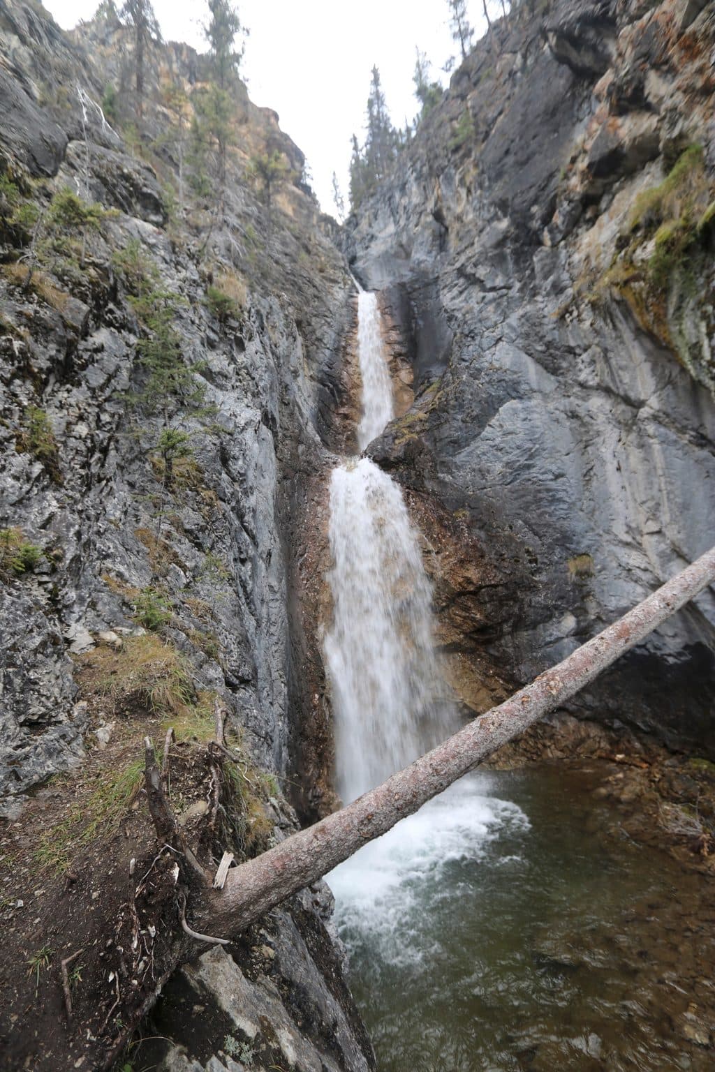 EasySilverton Falls Trail1.8 km · 40 min · 0.2 km awayShort, quiet waterfall walk from the Rockbound Lake parking area
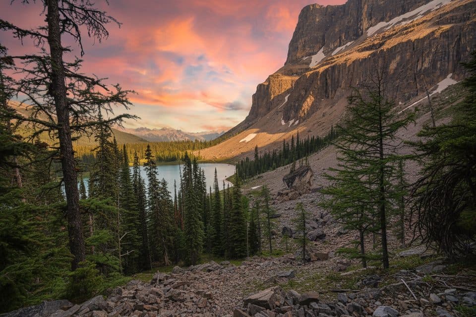 ModerateTower Lake15 km · 5 hr · 2.1 km awayA steady climb to a flower-fringed alpine lake beneath Castle Mountain
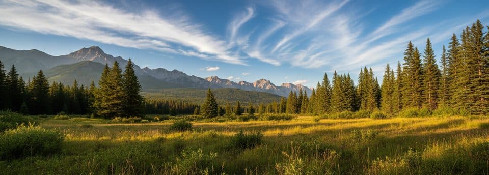 ModerateMoose Meadows to Ink Pots11.4 km · 4.5 hr · 4.3 km awayQuieter forest approach to the Ink Pots springs
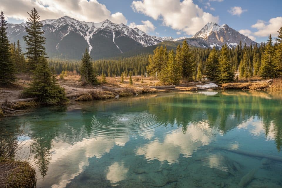 ModerateInk Pots via Moose Meadows11.4 km · 4 hr · 4.3 km awayA quieter forest approach to the bubbling Ink Pots mineral springs.
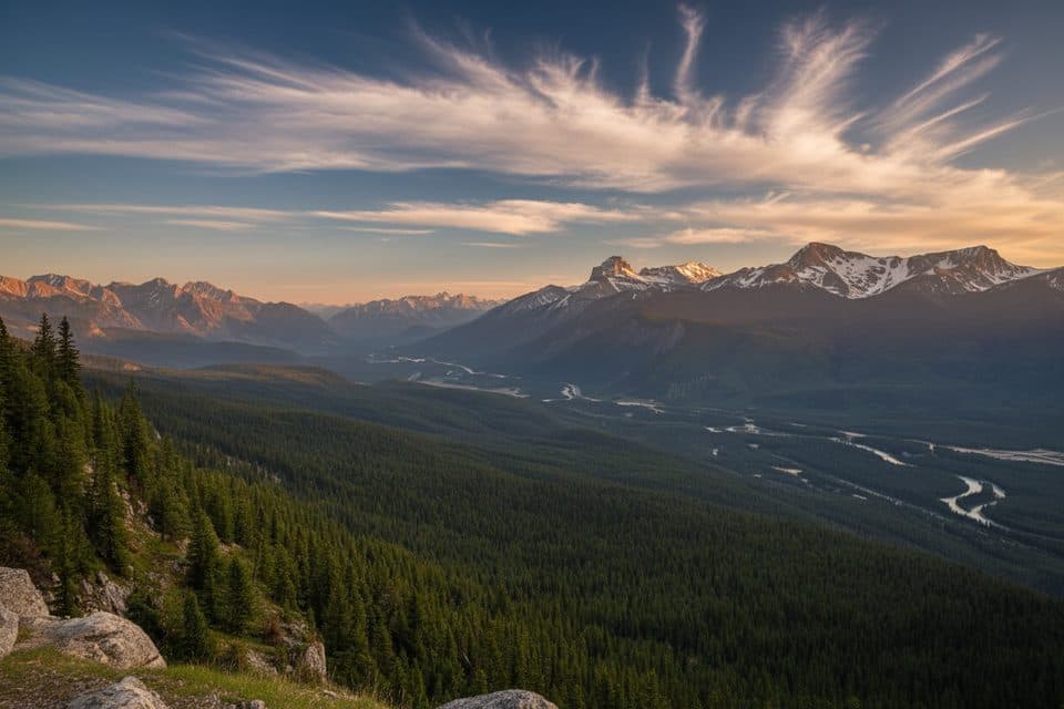 ModerateCastle Lookout7.4 km · 3 hr · 4.9 km awayShort, steady climb to one of Bow Valley’s best panoramas
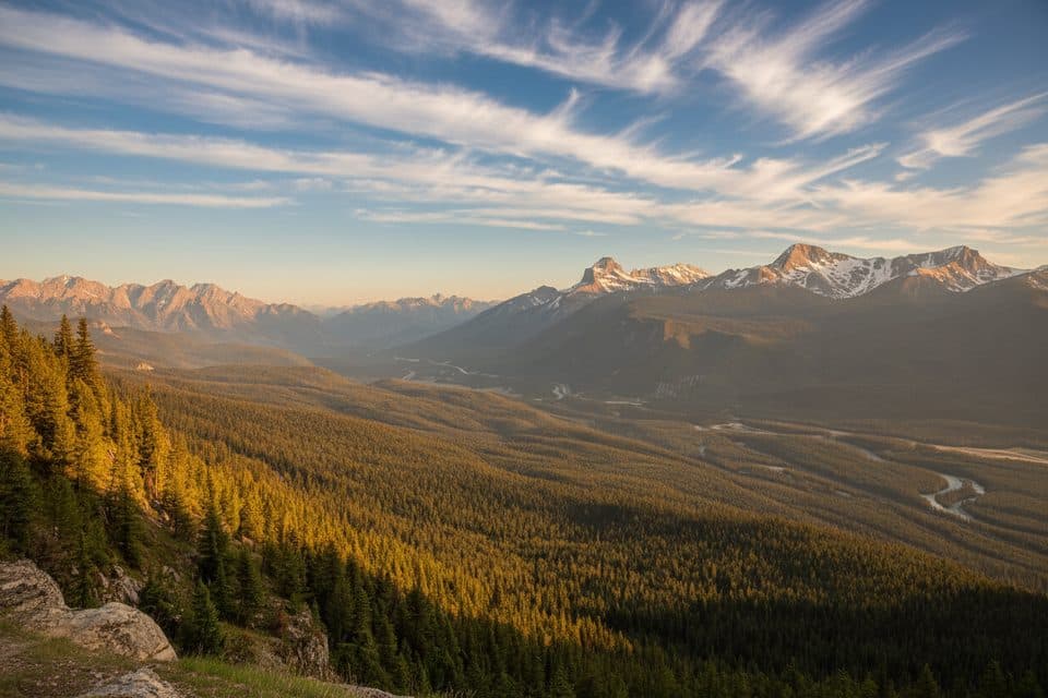 ModerateCastle Mountain Lookout7.4 km · 3.5 hr · 4.9 km awayA steady climb to a fire lookout with wide Bow Valley views.
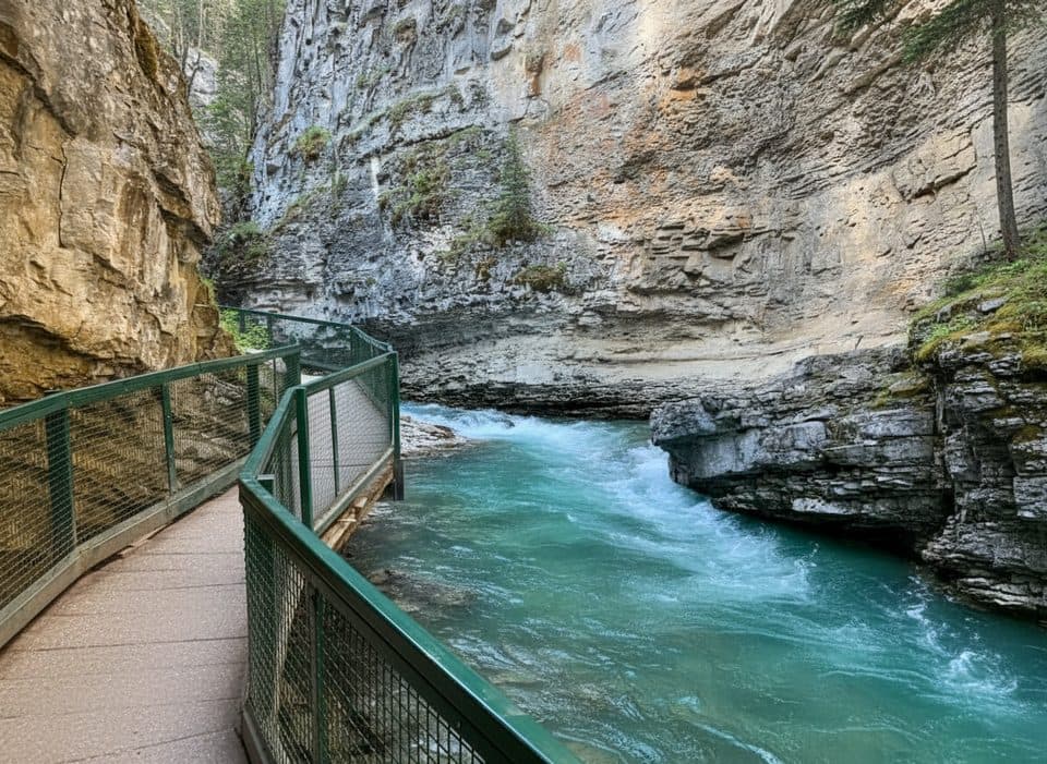 EasyJohnston Canyon to Upper Falls5.5 km · 2.5 hr · 5.9 km awayBanff’s catwalk canyon to thundering Upper Falls—short, spectacular.
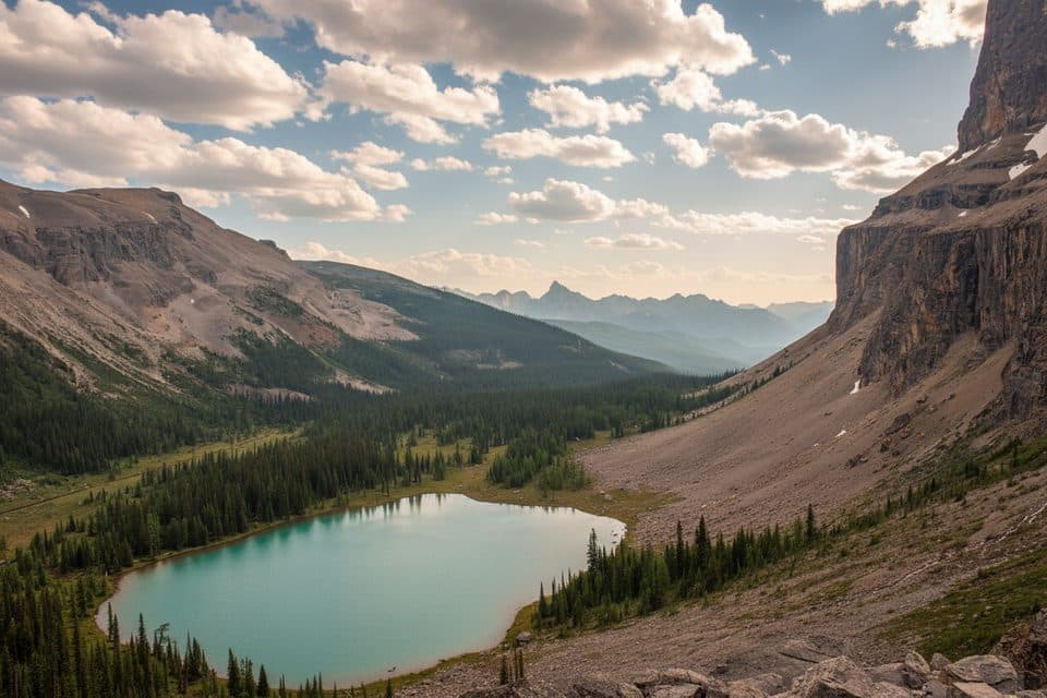 Sight · At the trailheadRockbound Lake ViewpointSheer-walled alpine lake with larches, reached by a rewarding hike
 Lodging · 0.2 km awayHI Castle MountainWilderness hostel with hot showers and a wood‑stove lounge
 Gas station · 0.2 km awayCastle Mountain Chalets Gas StationRare mid-route fuel and snacks with a Castle Mountain view
 Lodging · 0.3 km awayCastle Mountain ChaletsQuiet cabins at Castle Junction with kitchens, views, and on-site store
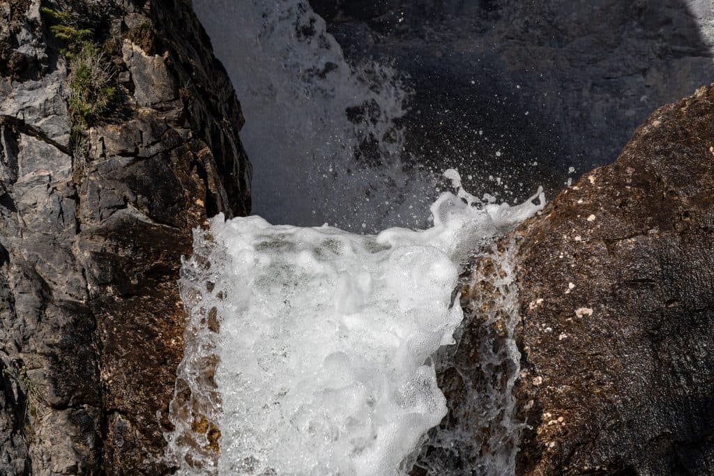 Sight · 0.7 km awaySilverton FallsShort, quiet hike to a multi-tiered waterfall near Castle Mountain
 Scenic pullout · 1.1 km awayCastle Mountain ViewpointQuick stop with big Castle Mountain views from a roadside perch
 Scenic pullout · 2.5 km awayStorm Mountain LookoutQuiet Bow Valley pullout with river, peaks, and passing trains
 Sight · 3.9 km awayCastle Mountain LookoutSteep hike to a huge Bow Valley panorama under Castle Mountain
Parkwolf’s Banff ranking
The audio tour guide for the drive, plus offline maps, trails, and wildlife heatmaps for when the signal drops.





