
Place · 0 mi away
Easy
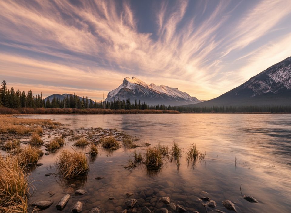
This is Banff’s easygoing, views-for-days walk: a mostly flat, multi‑use path that follows Vermilion Lakes Drive along three shallow lakes just west of town. Expect uninterrupted scenery of calm water, marshes, and that classic Mount Rundle skyline. It’s more of a lakeside stroll than a wilderness hike—perfect for low‑effort fresh air, photos, and wildlife spotting.
The route is an out‑and‑back, about 5.3 miles total (8.6 km) if you walk the full road corridor and return the same way. Surfaces are a mix of paved road/paths, packed gravel, and short boardwalk/dock spurs. Elevation change is negligible (roughly 65 feet/20 m total), and the wide tread makes it friendly for strollers, wheelchairs (some gravel sections can be bumpy), and bikes.
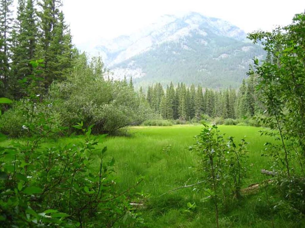
What you’ll see: mirror‑calm lakes, marshy wetlands, and frequent birdlife—think osprey, bald eagles, loons, and waterfowl—with a decent chance of elk or beaver activity near dusk. Benches and pullouts offer easy photo stops, and the mountain reflections at sunrise or sunset can be spectacular.
Know before you go: this isn’t a remote trail. You’ll share space with cyclists and occasional car traffic on the adjacent drive, and there are no facilities along the lakes. Mosquitoes can be feisty in late spring and summer, and winter brings ice and packed snow—beautiful, but slippery and with quieter wildlife.
Easy add‑on: link the nearby Fenland Trail (a 2 km forest-and-marsh loop) via connectors near the east end for a bit more variety without adding difficulty. It’s a nice way to pair open lake views with shaded spruce forest.
Best time to hike: late spring through fall for open water, active wildlife, and comfortable temps. Aim for sunrise or sunset for the best light and fewer people. Winter is open year‑round and can be lovely after fresh snow, but expect icy conditions and reduced wildlife activity.
Bottom line: come for the reflections and wildlife, not for solitude or challenge. If you want a steeper, wilder outing, look elsewhere; if you want easy, photogenic Banff vibes five minutes from town, this is a homerun.
Use the Fenland Trailhead parking near Mt Norquay Road or the pullouts along Vermilion Lakes Drive; you can also walk or bike in from Banff via the Bow River pathway.
No washrooms or water along the lakes; expect bikes and some vehicle traffic; mosquitoes in late spring/summer; icy conditions in winter; wildlife is common—give elk, bears, and other animals plenty of space.
Place · 0 mi away

Place · 0.2 mi away
Place · 0.3 mi away
Place · 0.5 mi away

Easy · 0 mi away
Easy · 0.8 mi away
Easy · 1 mi away
Easy · 1.1 mi away

Parkwolf Tour Guide
