Beartooth Lake in Beartooth Highway

#5 of 18 sights in Beartooth Highway

Sight · Beartooth Highway

Beartooth Lake

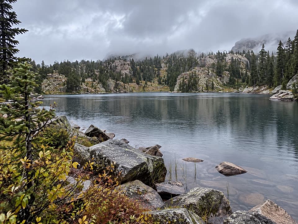
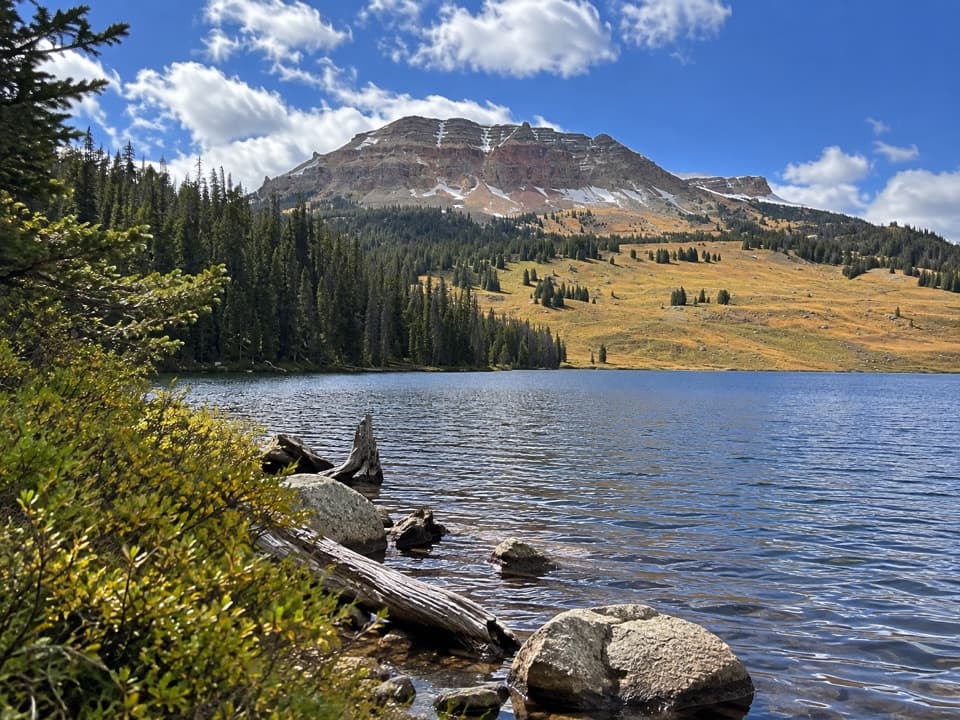
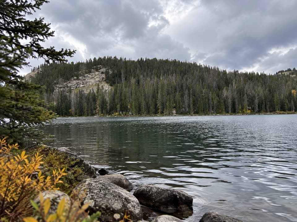
Launch, picnic, or take in Beartooth Butte across the lake.

Type
Sight
Nearest trail
0.3 mi
Audio stories
4 nearby
  • Parking
  • Picnic tables
  • Restrooms

Hear the audio tour

Beartooth Lake

Overview

About Beartooth Lake

Why stop

  • Picnic tables and boat access make it easy to stay awhile.

Map

Where it is

Loading the Beartooth Highway map
Full map
SightBeartooth Lake44.94435, -109.59153
Keep this map with you offline in the Parkwolf app

Plan your stop

Before you go

Parking and a simple picnic

Parking is available at the boat ramp, with trailhead parking nearby. The developed lakeshore site has picnic tables and vault toilets; potable water is listed for the site as well. The overnight campground is a separate part of the lakeshore area, with 21 sites and a usual season from late June through early or mid-September. That is the campground's season, not a confirmed day-use schedule.

1 active Beartooth Highway alert

  • ClosureBeartooth Highway seasonal closure and falling-rock advisoryBeartooth Highway (US-212) is closed for the season between Cooke City and Red Lodge; do not plan to travel the highway as a through route.Official details
Beartooth Highway alerts
A park ranger sits on a dash-mounted phone, talking, as Parkwolf’s Tour Guide plays “Army Cutworm Moths: A Grizzly Bear Buffet” on Grand Loop Road below Dunraven Pass in Yellowstone
Parkwolf Tour GuideThe highest, rockiest slopes around here are a summer buffet for grizzly bears.

Beartooth Highway Tour Guide

Your drive to Beartooth Lake, narrated.

Parkwolf is a GPS audio tour guide for Beartooth Highway. As you drive, it chimes in with what’s ahead: hidden gems, upcoming stops, history, geology, and wildlife, right through your car’s speakers.

See the Beartooth Highway audio tour

Recorded for this place

Beartooth Lake
0:00 / 0:31
“You're coming up on the turnoff for Beartooth Lake, a good place for a picnic or an easy lakeside break. A short gravel spur reaches the boat ramp and day-use shore, with Beartooth Butte rising across the water.”

Plays as you drive up to Beartooth Lake in the Parkwolf Beartooth Highway Tour Guide.

More stories near here in the app

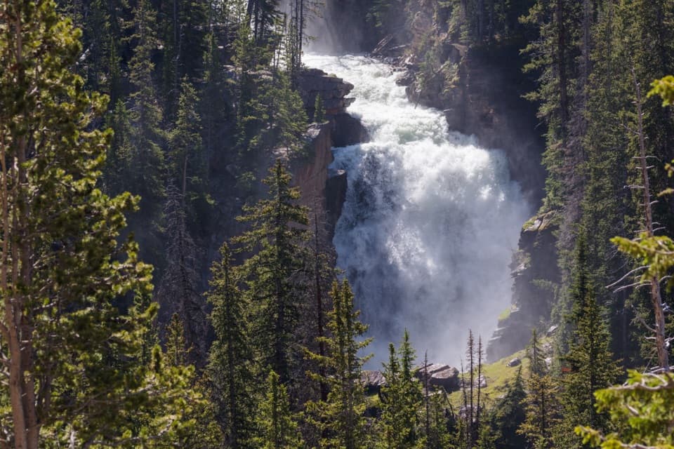
  • Beartooth Falls
  • Top of the World Store
  • Clay Butte Lookout Detour
  • Pilot and Index Peaks Overlook
  • 62 audio storiesacross Beartooth Highway’s roads, triggered by GPS as you drive
  • Wildlife heatmapsfor Grizzly Bear, Gray Wolf, Bison, and 13 more
  • Works offlinemaps, 82 trails, 36 places, and audio download before you lose signal
  • CarPlay readysimple controls built for the drive
★★★★★
“Fantastic app with many points of information… It’s great to just turn on while you’re driving and it gives you an audio tour of the national Park. We love it!!!!”
JMJamesApp Store review
Download Parkwolf on the App StoreGet Parkwolf on Google Play

4.7 from 8,600+ ratings

Guide

More about Beartooth Lake

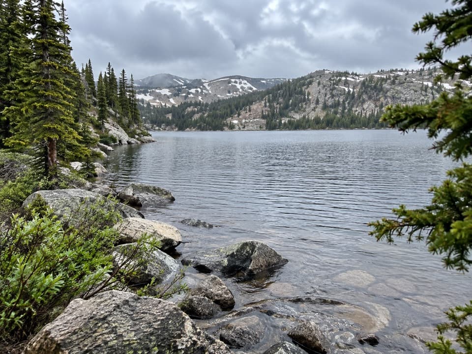
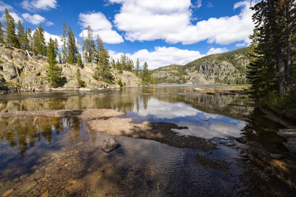
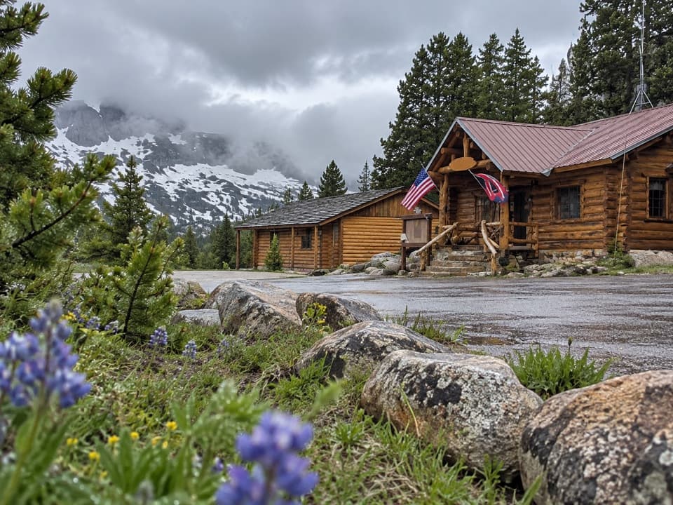
A lake break off US 212Beartooth Lake is an alpine lake on the Beartooth Highway, below Beartooth Butte in Wyoming.

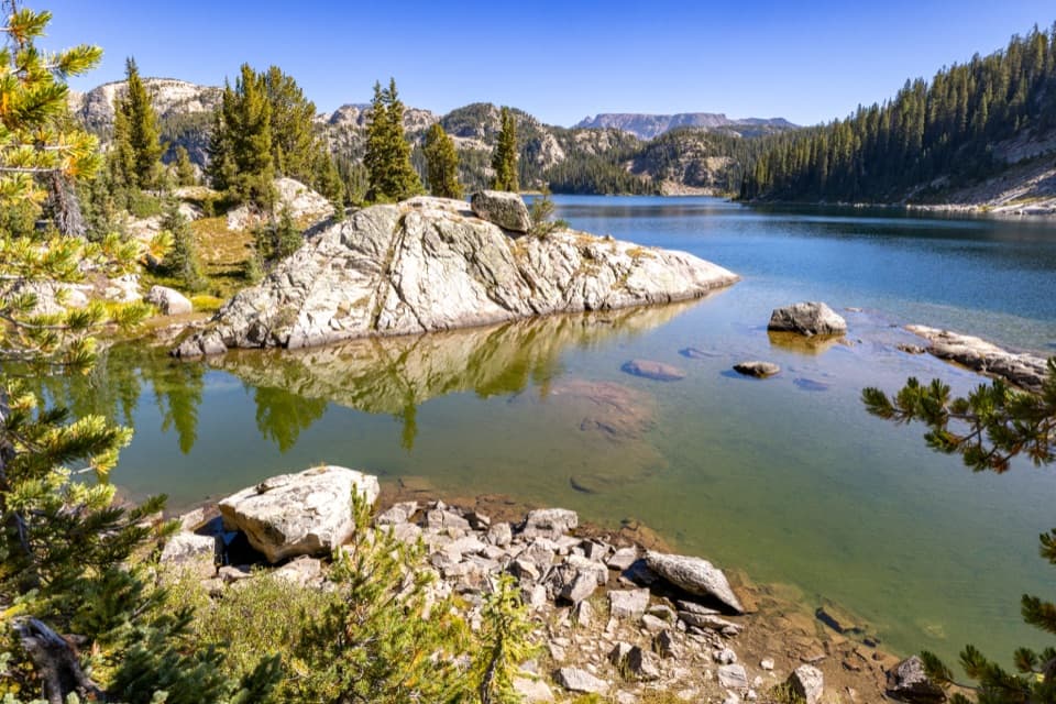
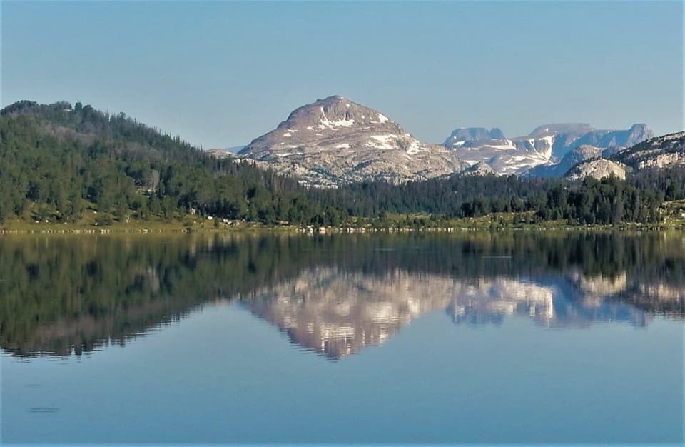
Beartooth Lake is an alpine lake on the Beartooth Highway, below Beartooth Butte in Wyoming. A short gravel spur reaches the boat ramp and day-use shore. Stop for a picnic, an easy lakeside wander, or time on the water. This is a low-key water stop rather than a summit hike or a big roadside overlook.

Boats and shoreline timeThe lake is used for both motorized and nonmotorized boating, fishing, and day hikes.

The lake is used for both motorized and nonmotorized boating, fishing, and day hikes. Visitors describe launching kayaks and small boats from the ramp. If you are only stopping for a few minutes, the shore is an easy place to pause; picnic tables make it practical to stay longer.

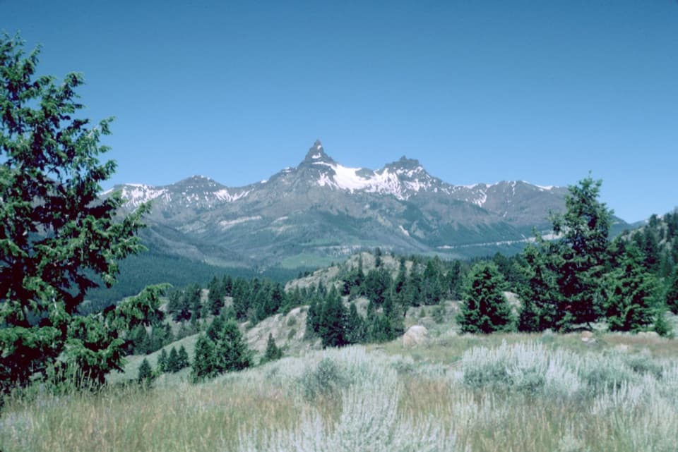
Beartooth Butte across the waterThe view across the lake toward Beartooth Butte is the reason to take a moment at the shore.

The view across the lake toward Beartooth Butte is the reason to take a moment at the shore. For a photo, keep some water in the foreground and let the butte and its tree-covered slope fill the far side of the frame. This is a lake-and-landform view, not a viewpoint that requires a separate hike.

A deep-time backdropBeartooth Butte sits in a much older story than the lake view suggests.

Beartooth Butte sits in a much older story than the lake view suggests. Around the butte, 560-million-year-old Cambrian sedimentary rocks lie above crystalline rocks about 2.8 billion years old. Nearby layers preserve some of the oldest known Devonian fish and land-plant fossils. Those fossils are part of the broader Beartooth geology, not something to look for on the lakeshore.

Wildlife

Wildlife in Beartooth Highway

All Beartooth Highway wildlife maps

Sighting maps show where each species has been reported across Beartooth Highway. Wildlife moves, so no sighting is guaranteed.

Keep exploring

Near Beartooth Lake

See it all on the map

Trails nearby

More stops nearby

Parkwolf’s Beartooth Highway ranking

Top sights in Beartooth Highway

All 36 places
  1. 1Beartooth Pass VistaSight
  2. 2Rock Creek Vista PointSight
  3. 3Clay Butte LookoutSight
  4. 4Pilot and Index Peaks OverlookScenic pullout
  5. 6Crazy Creek FallsSight
  6. 7Island LakeSight

Take Parkwolf to Beartooth Highway.

The audio tour guide for the drive, plus offline maps, trails, and wildlife heatmaps for when the signal drops.

4.7 from 8,600+ ratings

Download Parkwolf on the App StoreGet Parkwolf on Google Play