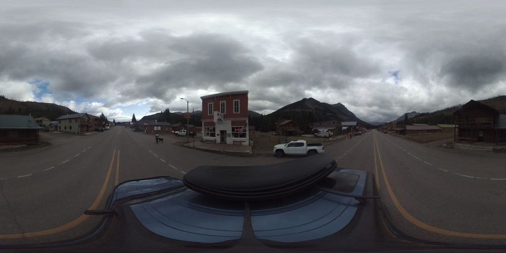
Cooke City

Small gateway town with gas, food, and beds by the pass
Cooke City, Beartooth Highway
InsideBeartooth Highway

Overview

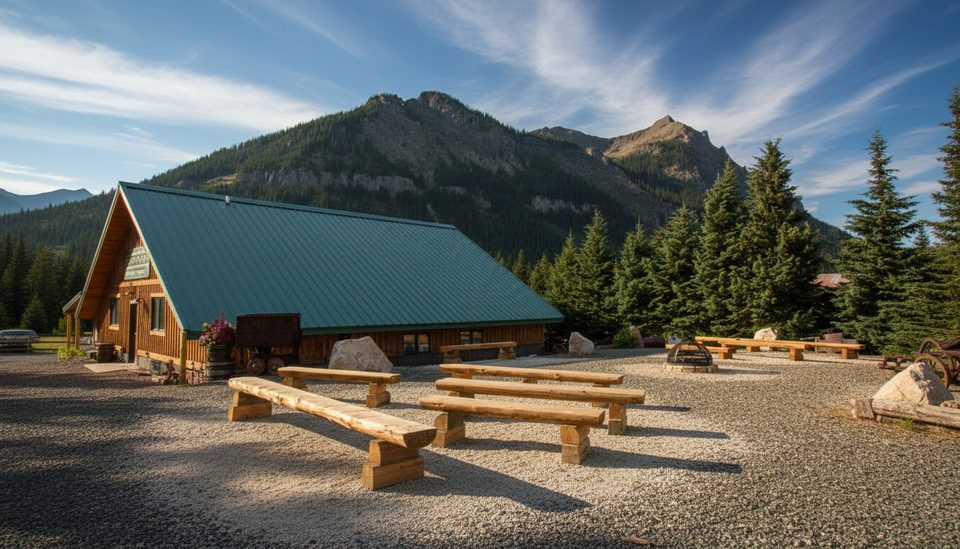
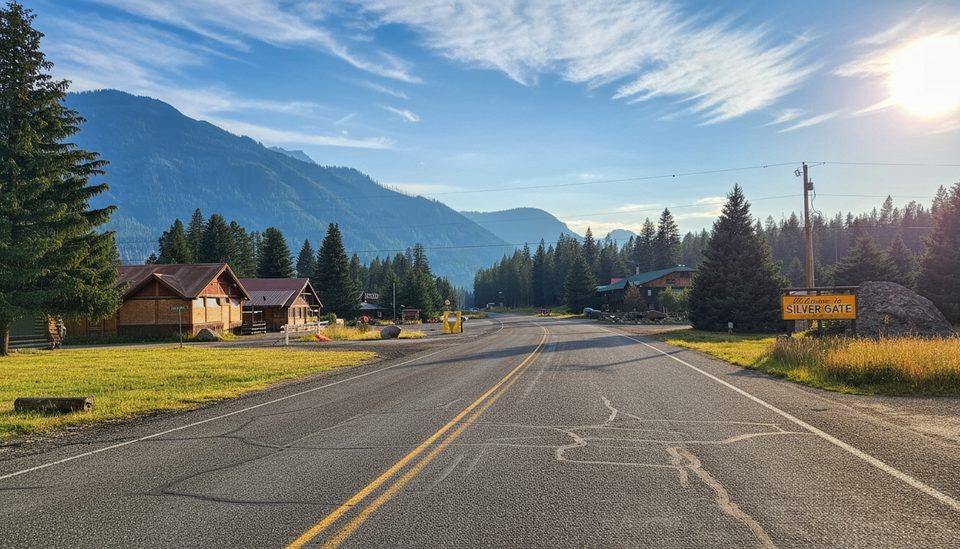
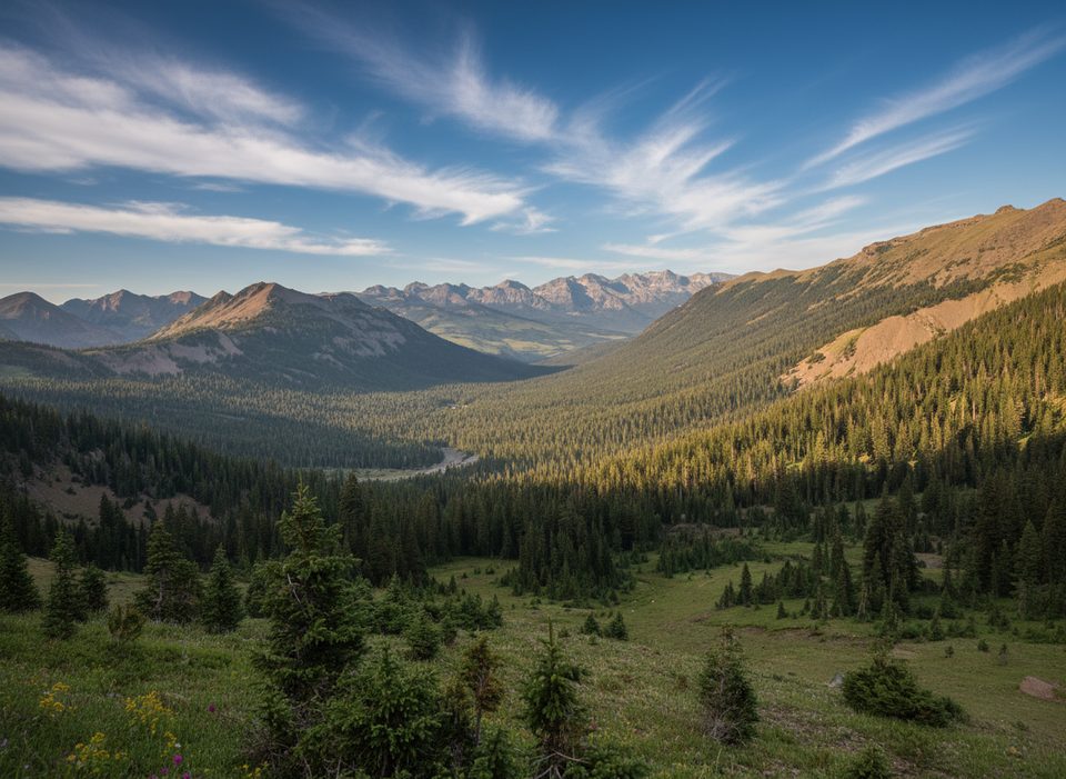
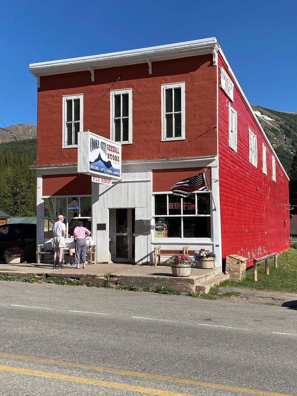
Cooke City is the tiny, no‑nonsense service hub at the northeast edge of the Beartooth Highway. It’s where you top off the tank, grab a hot meal, and settle into a room or cabin before (or after) the big alpine drive. The vibe is frontier‑casual: a couple of restaurants, a general store, a gas pump or two, and a handful of lodges and cabins that cater to hikers, anglers, and wildlife watchers.

What You’ll Find in Town

Expect small‑town essentials rather than big‑city choice: a tavern/restaurant or two, a café, motel rooms and cabins (some with kitchens), and a convenience‑style market with real groceries—meat, dairy, produce, and trail snacks. You can fuel up here; there’s no fuel on the high plateau. Restrooms are available inside businesses.

Nearby Campgrounds (quick reference)

  • Soda Butte Campground (about 1 mile east): 27 sites; hard‑sided units only.
  • Colter Campground: 18 sites; hard‑sided only; typically July–September; potable water.
  • Crazy Creek Campground (~11 miles): 16 sites; vault toilets; no water.
  • Fox Creek Campground: 33 sites; vault toilets; potable water; some electric sites.
  • Island Lake Campground (high elevation): 21 auto sites; tent‑friendly; typically July–early September.
  • Beartooth Lake Campground: 21 sites; tents and RVs; potable water, vault toilets.

Trails and Quick Outings

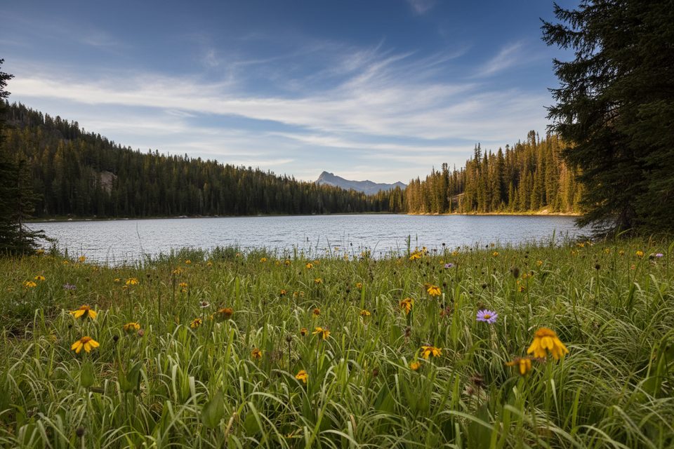
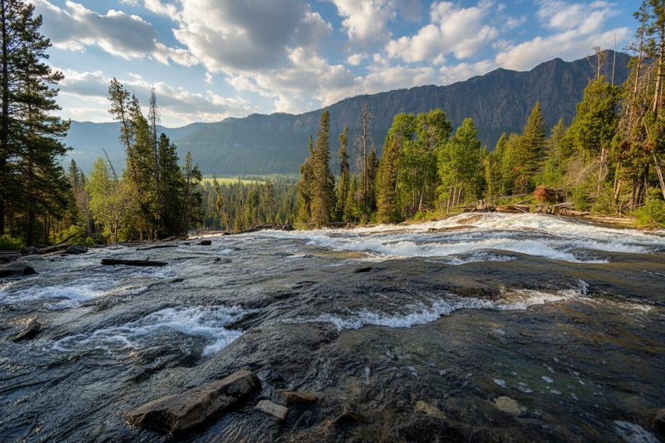
Cooke City sits at a trail‑rich crossroads. The Russell Creek trailhead for “The Beaten Path” is about 4 miles east—great for a day out‑and‑back if you don’t have a shuttle. Short leg‑stretchers near town include Lake Creek Falls. On the plateau, easy lake rambles (Island Lake/Night Lake loop, Gardner Lake outlooks) deliver oversized scenery when weather cooperates.

Wildlife & Safety

You’re in active bear country—black and grizzly. Expect bears in and around town. Store food properly, keep a clean camp, and carry bear spray. Dawn and dusk wildlife viewing in nearby Lamar Valley can be phenomenal; give yourself extra time and distance from animals.

Best Time to Visit

Peak convenience is late spring through early fall. The Beartooth Highway typically opens around Memorial Day and can close by October depending on weather. In late September, nights often freeze and early storms can roll in—build flexibility into your plans. Start early for calmer winds, easier parking at popular pullouts, and golden‑hour wildlife in Lamar.

Practical Tips

  • Fuel, water, and snacks here—there’s no gas on the high plateau, and services are sparse between towns.
  • Download offline maps; expect little to no cell service.
  • If you’re camping, note that some nearby campgrounds require hard‑sided units for bear safety.
  • Check morning road and weather reports before committing to the pass; conditions change fast.
  • If you want a last‑minute top‑off on the crest, a seasonal general store near Beartooth Pass carries basics—but don’t rely on it for fuel availability.

Pros

  • Reliable fuel, groceries, dining, and lodging at the foot of the pass
  • Minutes from Yellowstone’s Northeast Entrance and Lamar Valley
  • Trailheads and several campgrounds sit just outside town

Cons

  • Services are limited and seasonal
  • Cell service is spotty to nonexistent
  • Early snow or wind can trigger sudden road closures

Tips

  • Fill your tank in Cooke City—there’s no fuel on the high plateau.
  • Download offline maps; service drops out quickly once you leave town.
  • For a sampler hike without a shuttle, do an out‑and‑back on The Beaten Path from the Russell Creek side.
  • Carry bear spray and secure all food; bears are common in and around town.
  • If traveling in shoulder season, build a weather buffer day in case of pass closures.
The Parkwolf tour guide sitting on a phone mounted in a car

Parkwolf Tour Guide

Like a tour guide in your car.

Save the places you found around Beartooth Highway, then let Parkwolf guide the drive between them.Download Parkwolf on the App Store