
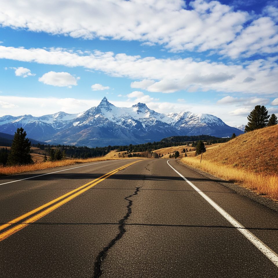
Place · 2.9 mi away
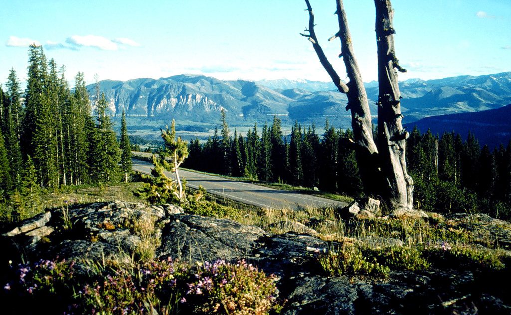
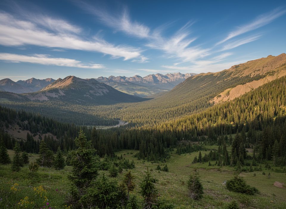
Perched around 8,000 feet on US‑212, this roadside perch looks straight into the Clark's Fork River Valley—a deep, dramatic cut framed by the Absarokas. It’s a quick, rewarding stop: pull in, stroll to the edge, and the whole canyon opens up.
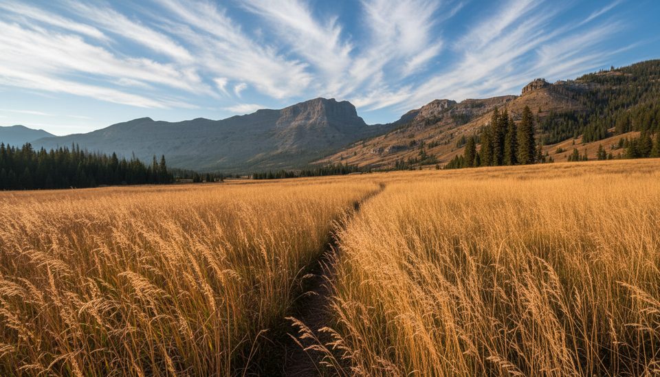
Expect long views down the canyon and across layered peaks. In late summer, the aspen splash bright yellow against dark ridgelines—great contrast for photos. You’ll also find interpretive panels that add context to the geology and the broader Beartooth landscape.
You’ll find it about 1.7 miles from the junction of the Beartooth Highway (US‑212) and WY‑296 (Chief Joseph Scenic Highway. Easy to spot, easy to access—this is a true pull‑in/pull‑out overlook.
The Beartooth Highway is a high‑elevation, seasonal route. It typically opens around late May and can close by mid‑October, with weather swing closures possible anytime. In short: on travel day, check conditions and be ready for sudden fog, wind, or a dusting of snow—even in shoulder season.
This corridor is prime for sightings: mountain goats on rocky slopes, marmots sunning, and big‑game regulars like elk, moose, and mule deer. Both black and grizzly bears live here, and wolves roam the region. Enjoy from a distance and keep bear spray handy.
Morning or late afternoon gives the canyon more depth and kinder light. If you’re chasing color, late summer into early fall can be gorgeous here. Because it’s a simple pullout with limited services, aim for clear‑weather windows rather than forcing a stop in wind or low cloud.
There’s parking and exhibits, but no services—no trash cans and no restrooms—so plan your stops accordingly and pack out everything. If you have extra time, pair this viewpoint with Dead Indian Summit Overlook on WY‑296 for a different angle on the region.
Place · 2.9 mi away
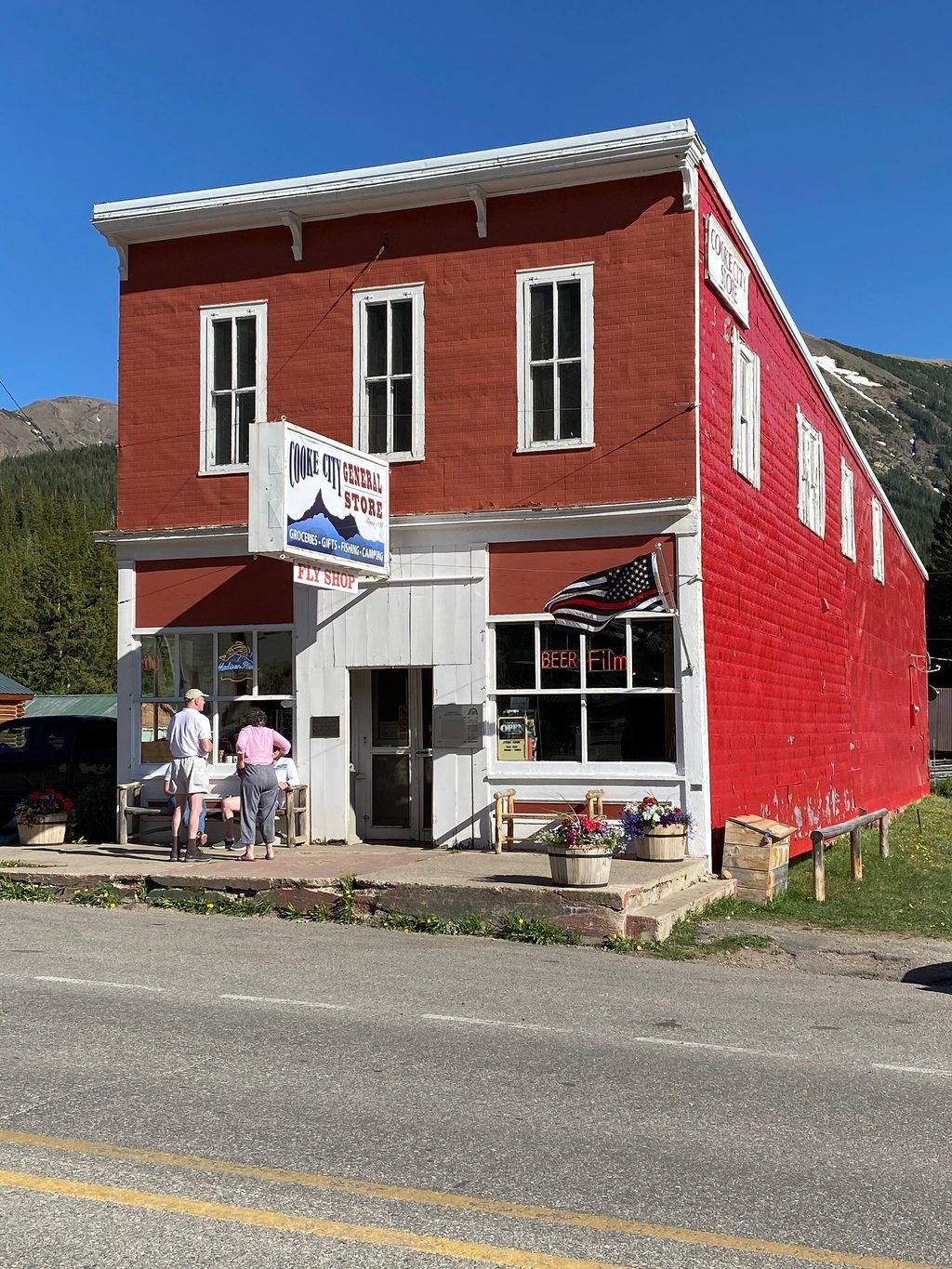
Place · 3.2 mi away
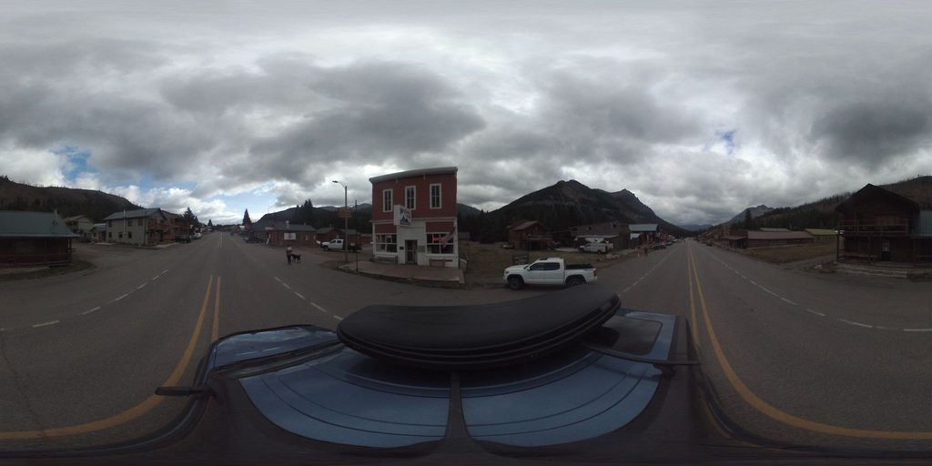
Place · 3.2 mi away
Place · 3.3 mi away
Moderate · 1.7 mi away
Challenging · 6.1 mi away
Moderate · 6.9 mi away
Moderate · 8.1 mi away

Parkwolf Tour Guide
