Place · 3.1 mi away
Challenging

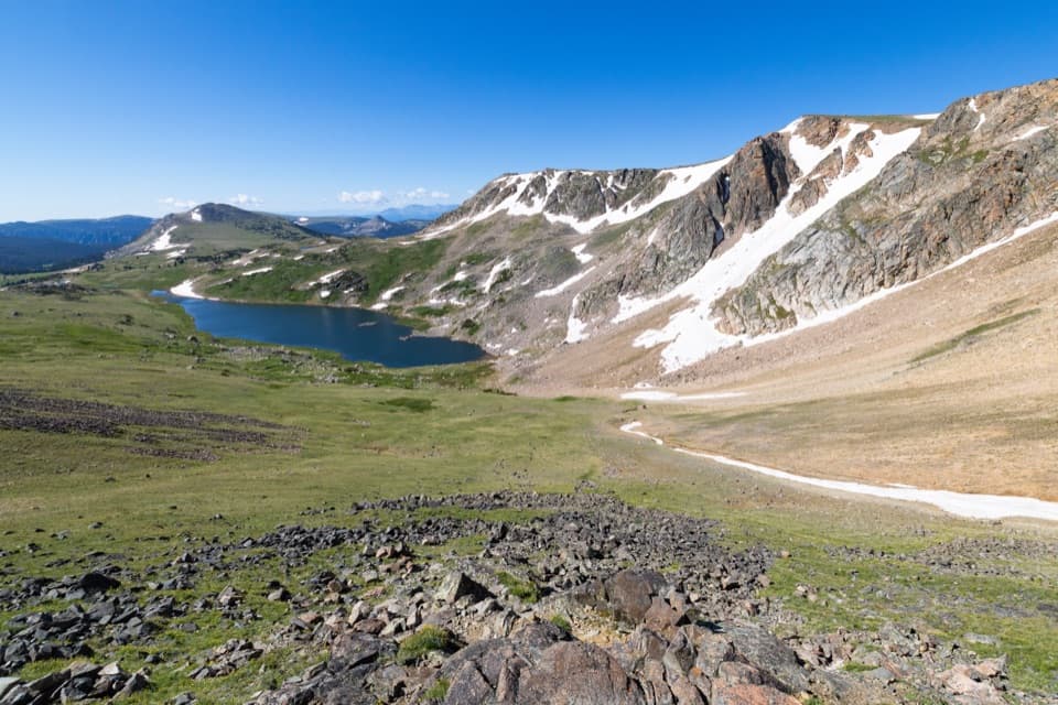
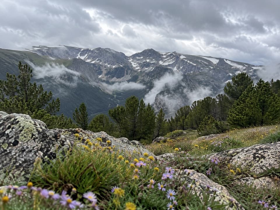
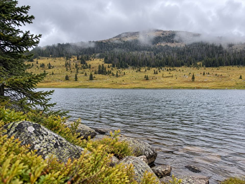
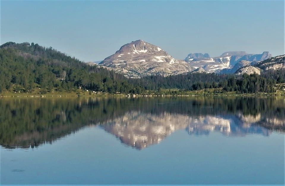
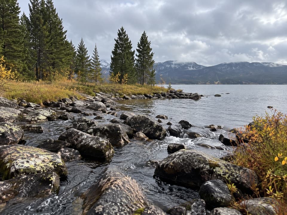
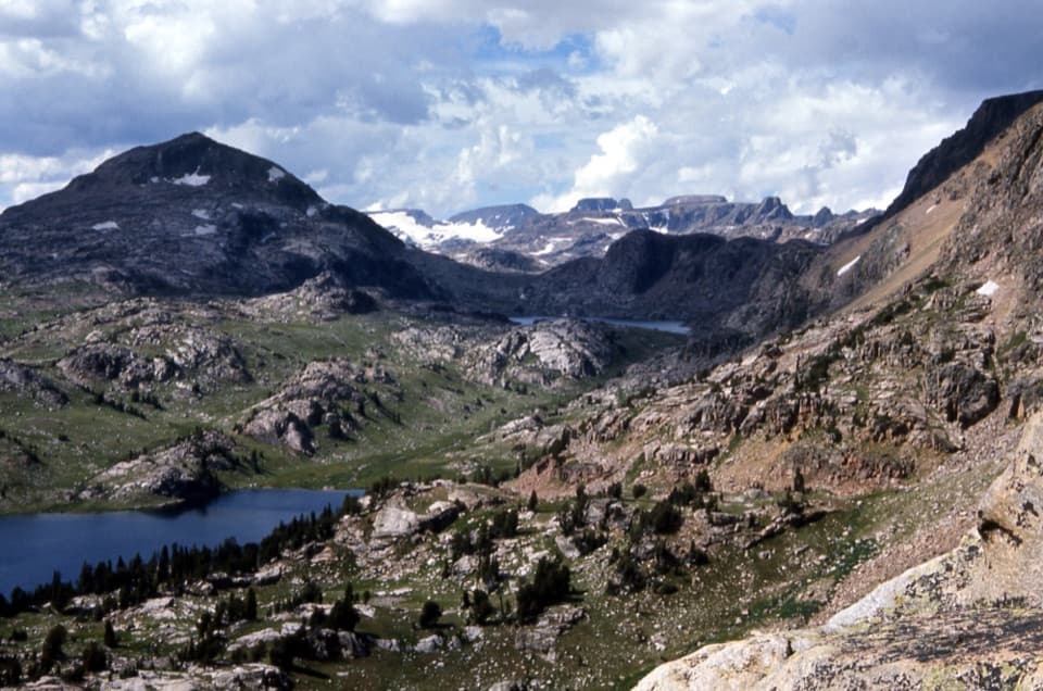
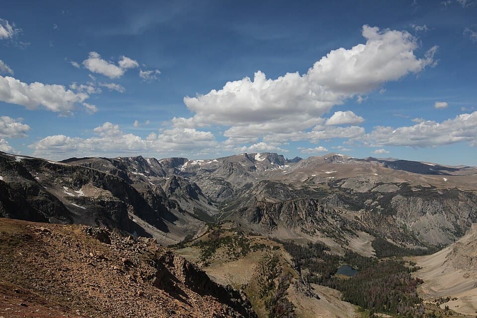
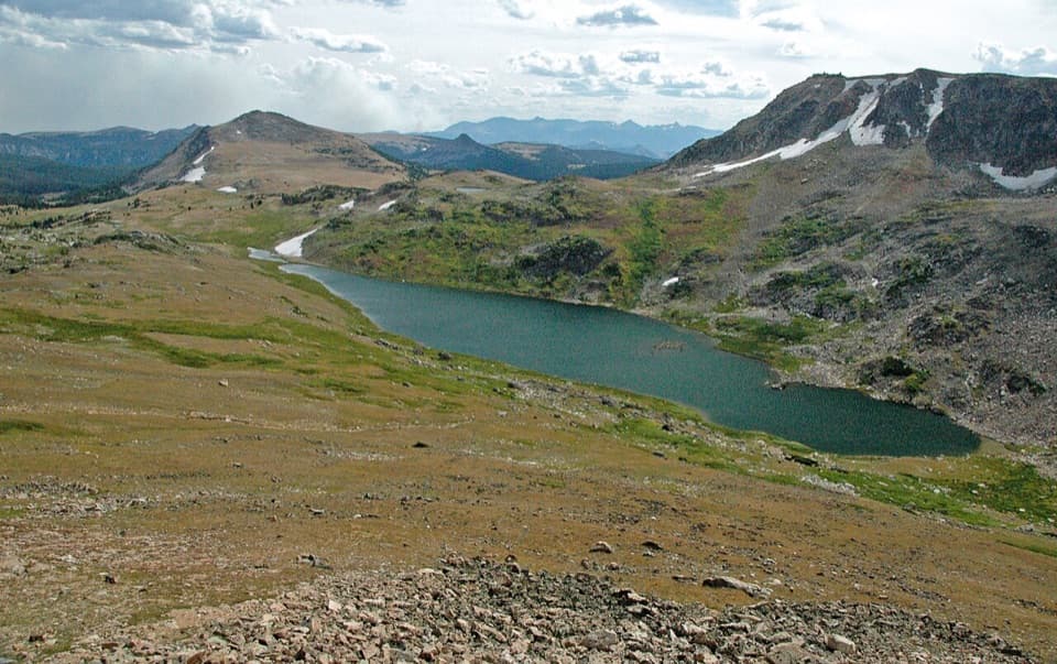
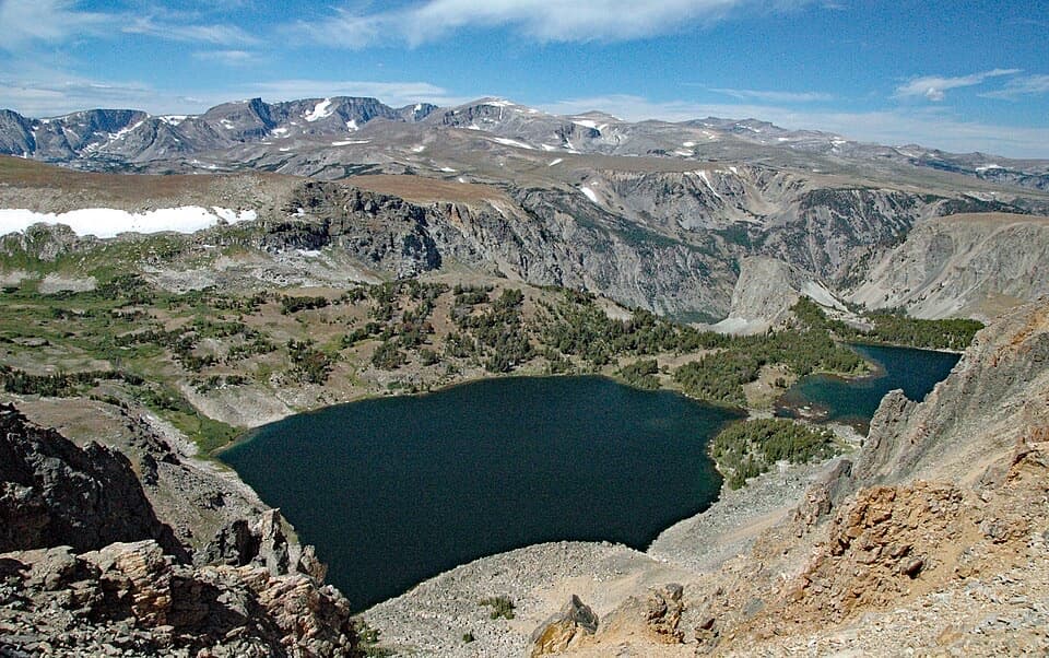
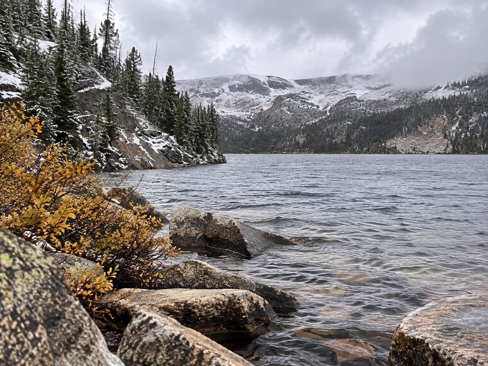
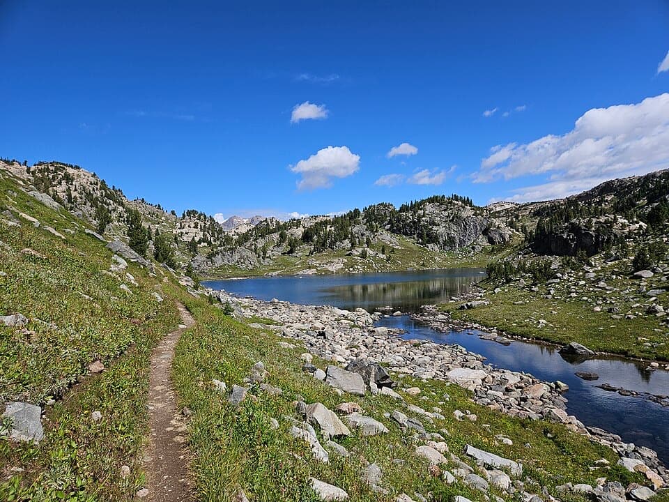
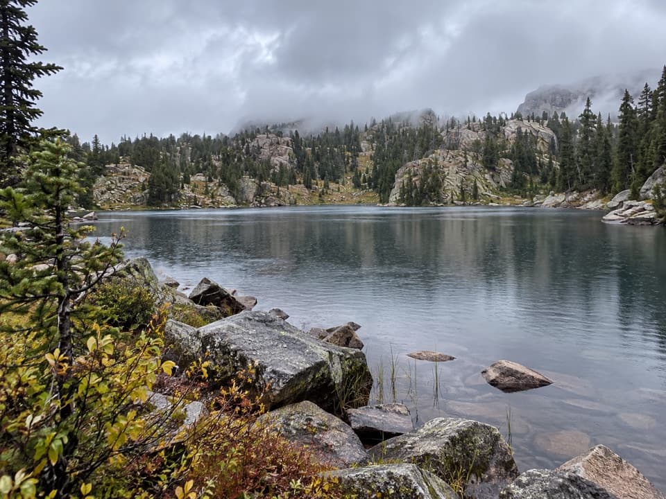
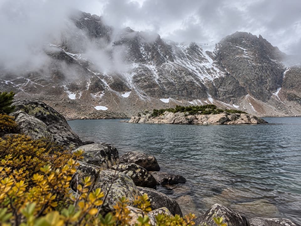
A quick but punchy alpine outing, this out‑and‑back climbs steadily to Glacier Lake, a clear tarn perched around 9,700 feet. Plan on about 4.4 miles total with roughly 1,500–1,700 feet of gain. It’s steep for the distance and you’ll feel the altitude, but the payout—big granite walls, blue water, and wide Beartooth views—is worth the effort.
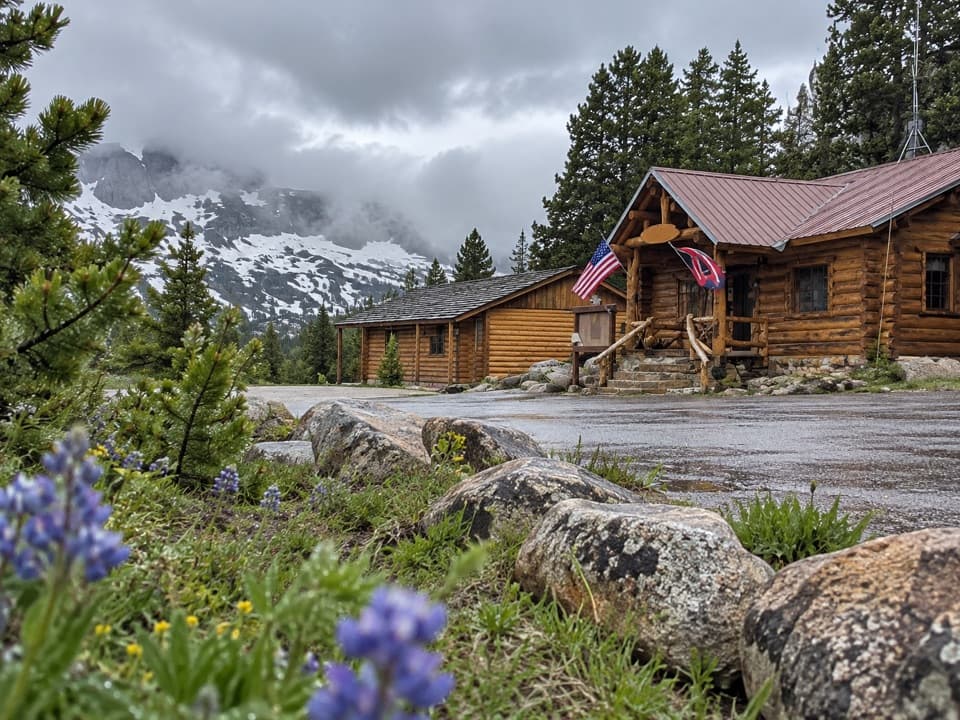
Trailhead access is from the Beartooth Highway via Main Fork Rock Creek Road (FR 2421). The final stretch is rough, potholed, and rocky—high‑clearance is strongly recommended. You’ll find ample parking and a vault toilet at the signed trailhead. Unique heads‑up: marmots here have been known to chew vehicle wiring or brake lines, so give your car a quick look before departing.
The path is well‑built with switchbacks and a sturdy bridge over Moon Creek about a half‑mile in. Expect mostly open slopes, limited shade, and a rocky tread. Winds often pick up by afternoon. At the lake, a social path explores part of the west shore; strong hikers sometimes tack on nearby basins like Little Glacier and Emerald. From the Moon Creek bridge area, a spur can also lead toward Moon and Shelf Lakes if you’re piecing together a longer day.
You’re walking into a classic glacial cirque—think U‑shaped valleys and rock-rimmed bowls carved by Pleistocene ice. The Beartooths showcase some of the continent’s oldest rocks and dramatic uplift; here, the ice did the finishing work, leaving a string of high lakes and hanging valleys that make this short climb feel like a crash course in alpine geology.
Start early for calmer winds, easier parking, and softer light on the lake. Summer into early fall brings the most reliable access; expect fast‑changing weather any time—pack layers and rain protection. Bugs can linger in mid‑summer; carry repellent. Cell service is unreliable—download maps for offline use.
This trail lies within the Absaroka–Beartooth Wilderness—know and follow wilderness rules. Glacier Lake sits on the Montana–Wyoming line; if you plan to fish, you may need licenses for both states depending on where you cast. There’s no potable water at the trailhead—bring what you need.
If you want a high‑reward alpine lake without committing an entire day, this is a great pick. If steep grades, exposure to wind, or rough access roads are deal‑breakers, consider something mellower—otherwise lace up and go.
End of Main Fork Rock Creek Rd (FR 2421) at the signed Glacier Lake trailhead; ample parking and a vault toilet.
High‑clearance recommended for the rough road; marmots may chew vehicle wiring; fast‑changing alpine weather and limited cell service.