
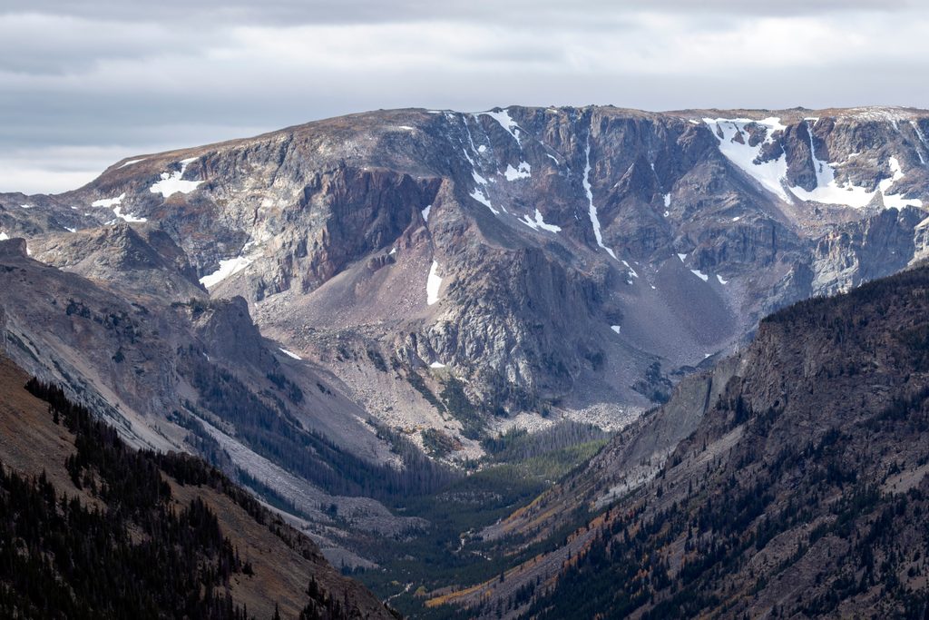
Place · 2.3 mi away
Moderate
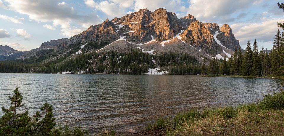
A classic Beartooth outing: roughly 10.5 miles round trip with about 1,300–1,350 feet of gain to a clear, fishy lake tucked beneath big country. The grade is steady rather than steep, so strong hikers can move quickly, but it’s still a long day. Expect a well-built path and frequent creek sounds as you follow the Lake Fork of Rock Creek.
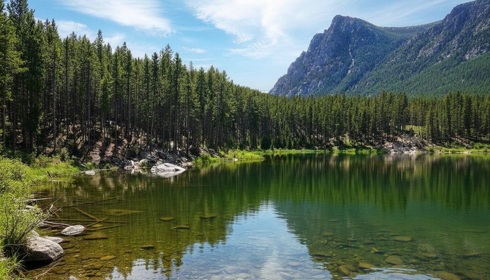
From the Lake Fork Trailhead, the trail climbs gently up a glacial valley through lodgepole pine and aspen, with meadows, waterfalls, and rock walls for company. Around 3.6 miles, a short spur reaches Broadwater—an expanded section of the creek—an easy turnaround for a shorter 7.4‑mile day. Near 5 miles, watch for the left spur to Lost Lake; it can be easy to miss. If you cross a second bridge, you’ve gone too far—backtrack a few hundred yards. The lake sits at about 8,515 feet with rugged views toward Thunder Mountain and the high Beartooth country.
This valley was carved by Pleistocene ice, leaving hanging valleys and a necklace of lakes. Bedrock here is among the continent’s oldest granitic and metamorphic rocks, with deep time on full display in the polished slabs and cliffs. Wildlife is a real draw—moose frequent the meadows and creek environs, and deer, elk, and bald eagles are regulars. Give moose serious space and keep your head on a swivel in brushy stretches.
Lost Lake is known for cutthroat trout and Arctic grayling. Ultralight setups and small midges can be productive, and the far side of the lake sees less pressure. Always follow local regulations and practice clean angling.
April through October is the sweet spot, but lingering snow can show up early and late. Summer brings wildflowers and long light; start early for cooler temps and quieter shores. Afternoon light kisses the cliffs above the lake—great for photos. The highway can see weather-related closures, especially shoulder seasons, so confirm road and trail conditions before you go.
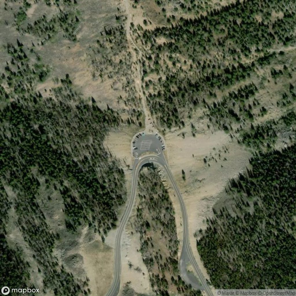
From Red Lodge, drive about 10.6 miles southwest on US 212 (Beartooth Highway), turn right on Lake Fork Road, and continue roughly 1.5–1.8 miles to the end. The paved road leads to a large trailhead lot with straightforward access.
Lake Fork Trailhead at the end of Lake Fork Road, 1.5–1.8 miles off US 212 after a 10.6‑mile drive from Red Lodge; paved access with a large lot.
Moose are common—give wide space, especially cows with calves. The Lost Lake junction can be unsigned; if you reach a second bridge you’ve gone too far. Bugs and stock use are typical in summer. Weather turns fast at elevation; carry layers and bear spray. Past floods have affected bridges—check current conditions.
Place · 2.3 mi away
Place · 2.5 mi away
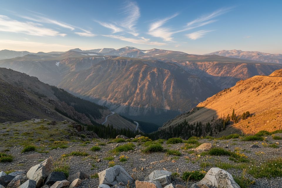
Place · 3.6 mi away
Place · 6 mi away
Challenging · 0 mi away
Challenging · 0 mi away
Easy · 1.3 mi away
Easy · 1.6 mi away

Parkwolf Tour Guide
