
Place · 1.3 mi away
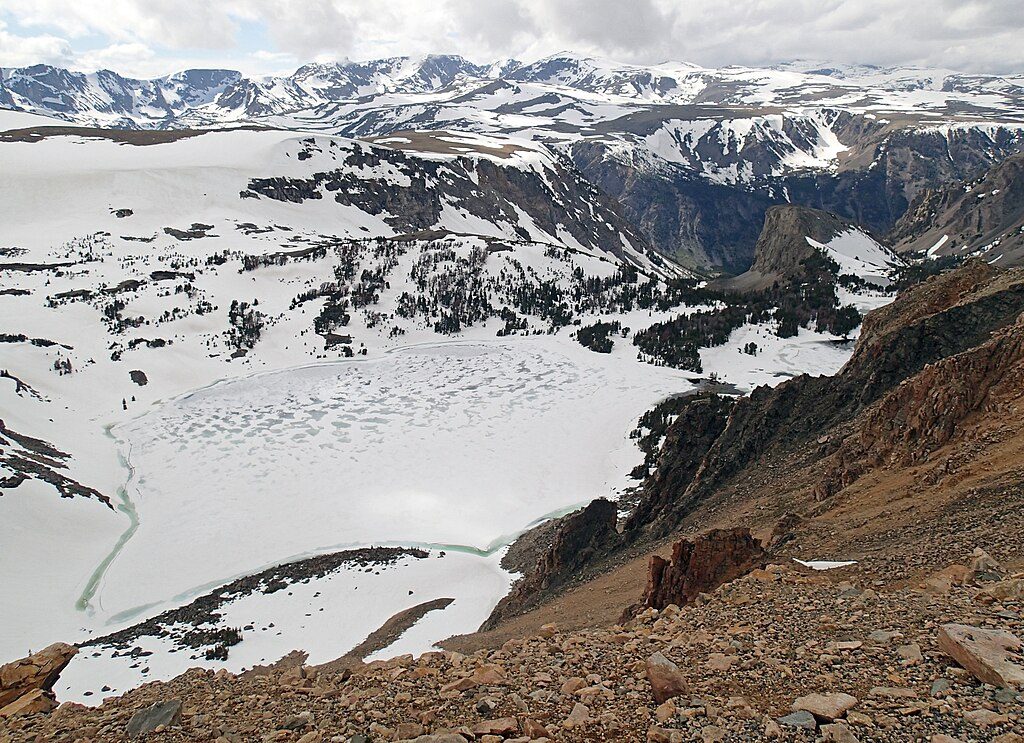
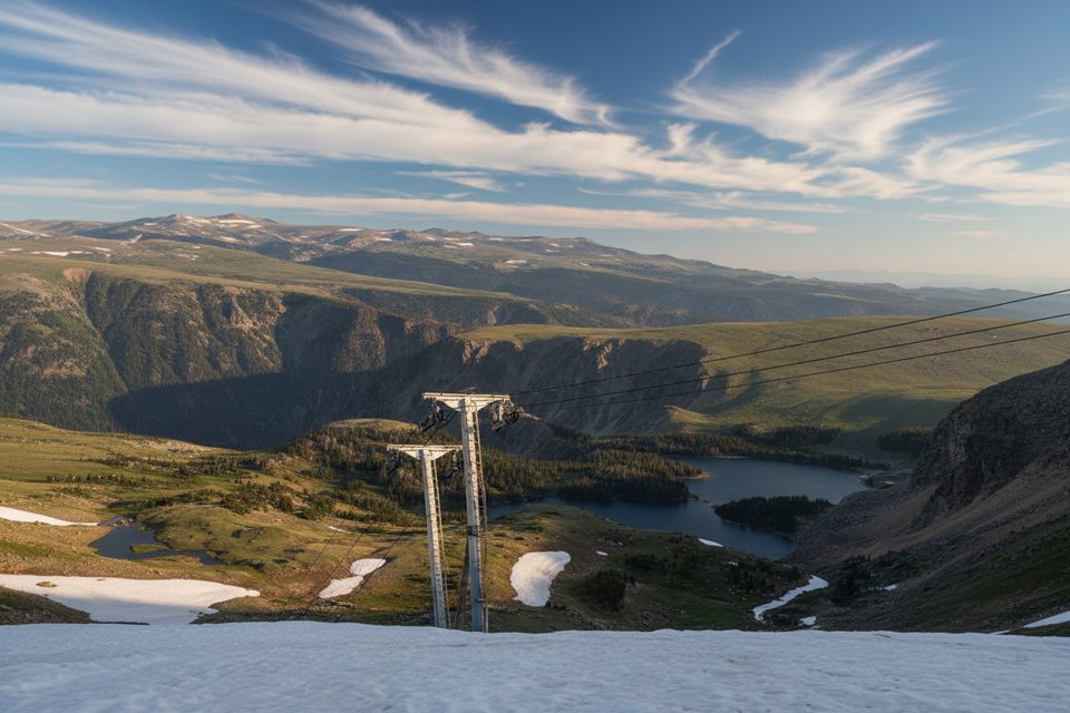
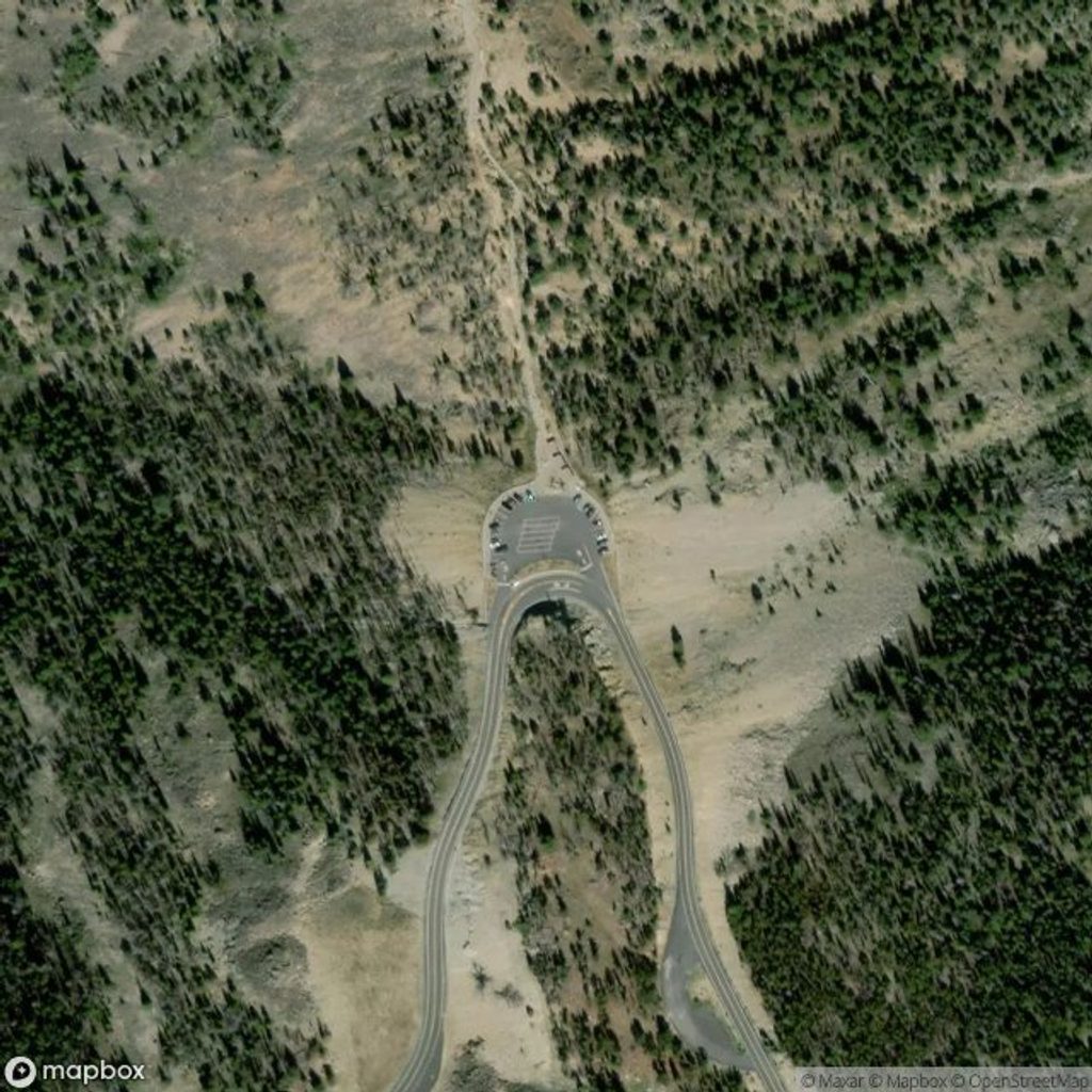
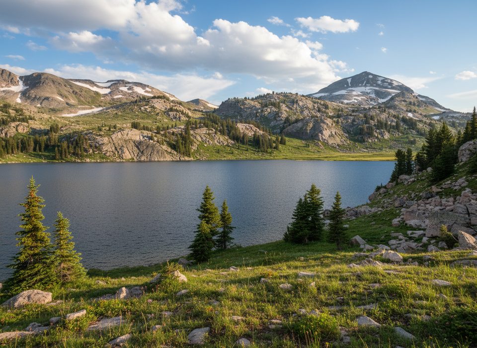
Twin Lakes is a simple roadside pullout tucked just below Beartooth Pass, with two small alpine tarns framed by stark tundra and the Twin Lakes Headwall. It’s an easy “hop out of the car” kind of stop that punches way above its weight in scenery.
Expect classic high-country textures: gleaming blue tarns set in glacial cirques, patterned ground on the plateau, and huge U-shaped valleys dropping off the nearby switchbacks. Look uphill and you’re staring at the summer-only Twin Lakes Headwall, the playground for Beartooth Basin’s platter lifts when the rest of the country has put skis away.
This is prime pika-and-marmot country, and mountain goats commonly wander the high meadows and talus. Give all wildlife plenty of space and keep salty gear secured—goats are curious.
The pullout is unmarked, small, and has no services—no toilets, no tables, no signage. If you need facilities, plan on Rock Creek Vista Point (Red Lodge side) or, nearer the alpine stretch, Island Lake Campground or the Top of the World Store. Cell service is spotty to nonexistent around here.
There isn’t a formal trail from the pullout; most folks follow faint use paths toward the lakes. Navigation is straightforward in clear weather, but signage is scarce—download offline maps if you want to wander.
The Beartooth Highway typically runs from late May through early to mid-October, weather permitting. Even in midsummer, it can be cold, windy, and suddenly stormy at these elevations—come with layers. Snowfields can linger well into summer.
For almost zero effort, you get intimate alpine water, big mountain drama, and a feel for the Beartooth Plateau’s tundra. It’s not a destination picnic spot—think quick, memorable pause on a spectacular drive.
Mornings or late afternoons are your sweet spot: lighter traffic, softer light, and a better chance to dodge the typical afternoon wind and thunderheads. Weekdays are quieter. Wildflowers peak from late June into late July at this elevation.
There are other “Twin Lakes” and “Twin Lakes Trailheads” in Montana; those are miles away and unrelated. This one is the roadside lakes pullout on the Beartooth Highway near the pass.
Place · 1.3 mi away
Place · 2.6 mi away
Place · 2.6 mi away
Place · 3.6 mi away
Moderate · 3.2 mi away
Easy · 3.8 mi away
Challenging · 4 mi away
Moderate · 4 mi away

Parkwolf Tour Guide
