
Place · 2.3 mi away
Challenging
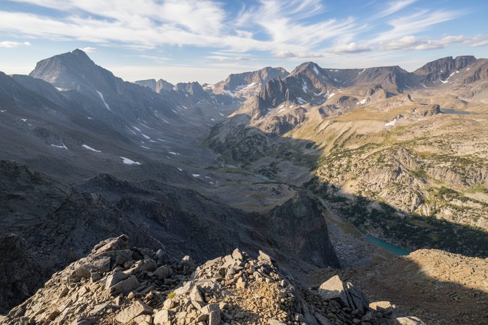
Sundance Pass is a serious, high-country undertaking linking the Lake Fork and West Fork valleys near Red Lodge. Expect a full-value day with big views, long switchbacks, and classic Beartooth geology. It’s challenging and exposed near the pass, but the scenery earns every step.
Most hikers treat this as a point‑to‑point traverse between the Lake Fork and West Fork trailheads, roughly 20.5–22 miles total depending on current trail conditions and where you start. As a single‑trailhead out‑and‑back to the pass, plan on about 24.6 miles total. Timewise, fit parties often take 9–12+ hours for the traverse, while the full out‑and‑back is commonly 12–14 hours. Choose the traverse if you can arrange a shuttle; it keeps the scenery fresh and the descent more forgiving.
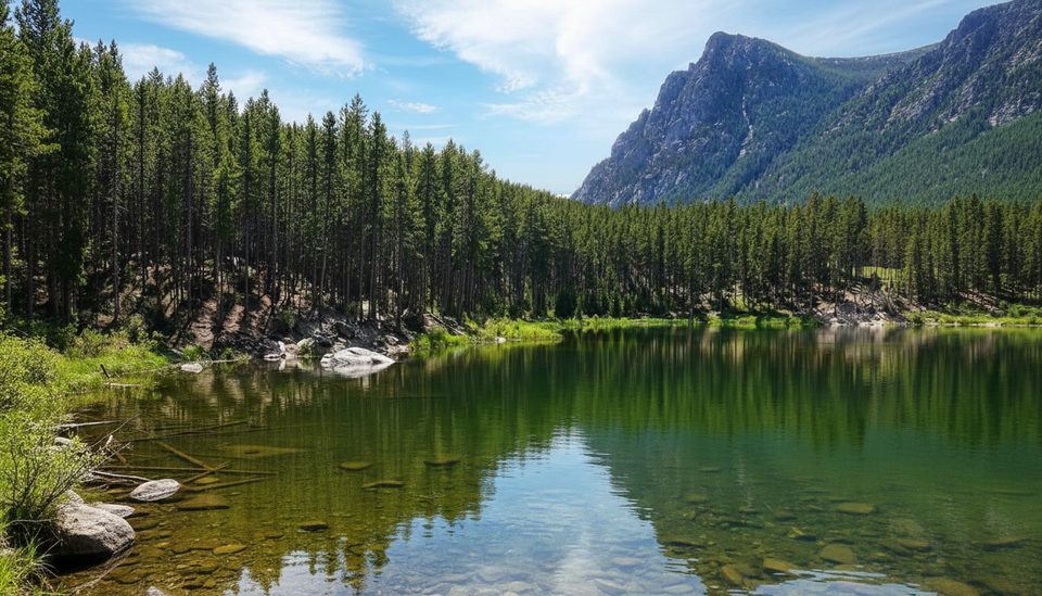
The West Fork side wins for variety: forest, meadows, wildflowers, and a beautifully engineered set of switchbacks that climb roughly 1,500 feet over three miles. The Lake Fork approach follows a classic U‑shaped, glacially carved valley with lakes and meadows; September Morn Lake sits just below treeline and makes a popular overnight. From the pass, you’ll look over a necklace of glacial lakes and a skyline of big Beartooth peaks.
You’re walking across some of North America’s oldest crust—mainly ancient granitic rocks formed around 2.7–2.54 billion years ago, with enclaves of even older metamorphic rocks. The range was hoisted during the Laramide Orogeny (roughly 65–57 million years ago), then sculpted by Ice Age glaciers into today’s broad valleys, cirques, and hanging basins. The landscape tells that whole story in real time as you climb.
Snow lingers on the switchbacks early; traction can be helpful in early summer. While some years see travel from May into November, the most reliable window is mid‑summer into early fall when the highway and high trails are typically in shape. Start at dawn, watch for fast‑building afternoon storms, and bring layers for wind and sudden temperature swings.
Trailheads at Lake Fork and West Fork sit within about 15 miles of Red Lodge. A car shuttle between them is the smart move; expect a substantial drive time between trailheads. Water is frequent in both valleys—treat everything. Dogs are allowed (some areas allow off‑leash), but this is big wildlife country and you may encounter grazing cattle; manage pets accordingly. Cell service is spotty, so download maps and carry a paper backup. Check with the local ranger district for current trail, road, and bridge status—flood damage in 2022 removed a bridge near the Lake Fork trailhead, which has added roughly two miles to some starts until repairs are complete.
If you’re up for a strenuous, high‑altitude day with exposure near the pass and potential early‑season snowfields, this is one of the Beartooth area’s marquee outings. If you want something gentler, consider splitting it into an overnight with a camp at September Morn Lake on the Lake Fork side.
Free parking at both Lake Fork and West Fork trailheads near Red Lodge; most parties stage a vehicle at the exit trailhead and start at the other. Allow ample time for the shuttle. Note: a bridge near the Lake Fork trailhead was washed out by 2022 floods, adding about two miles to some starts until repairs are complete; verify current status with the local ranger district.
High elevation, long exposure near the pass, rapidly changing weather, lingering early‑season snowfields (carry traction if needed), limited cell service, and ongoing flood‑related infrastructure changes near the Lake Fork start.
Place · 2.3 mi away
Place · 2.5 mi away
Place · 3.6 mi away
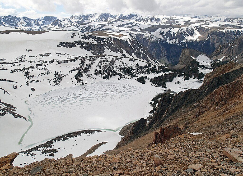
Place · 6 mi away
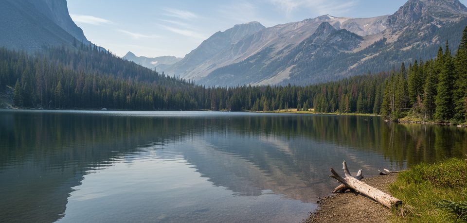
Challenging · 0 mi away
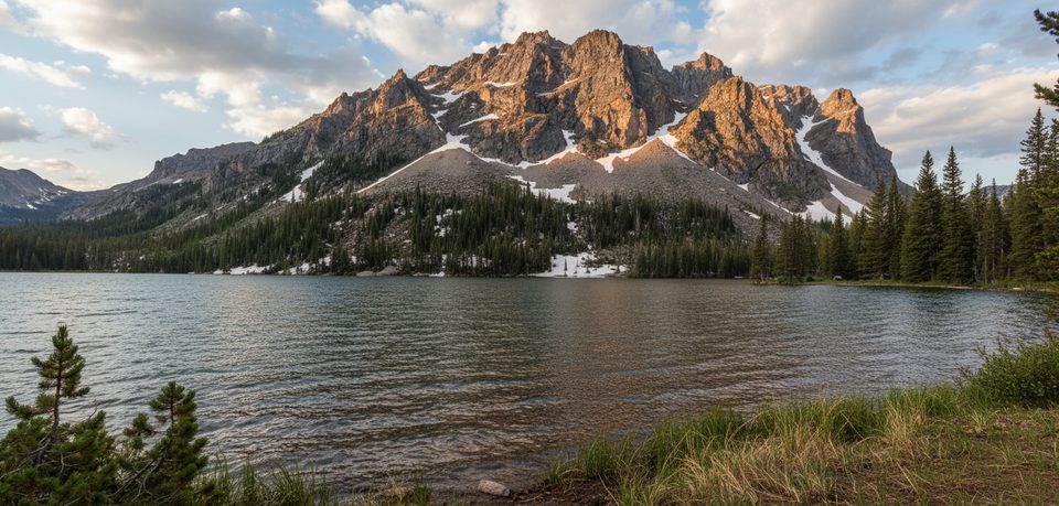
Moderate · 0 mi away
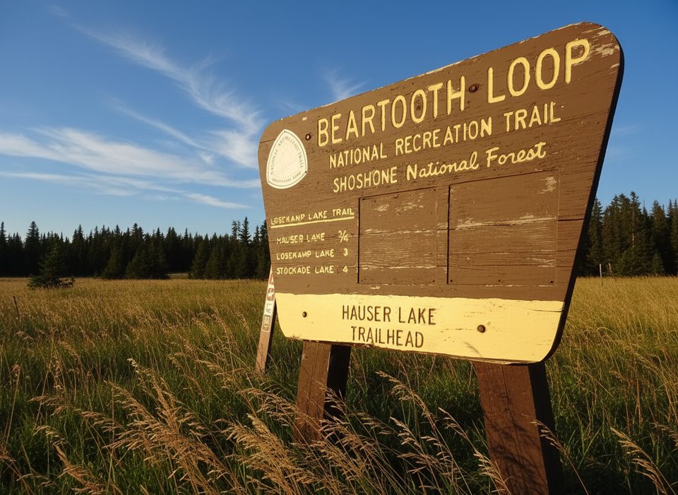
Easy · 1.3 mi away
Easy · 1.6 mi away

Parkwolf Tour Guide
