
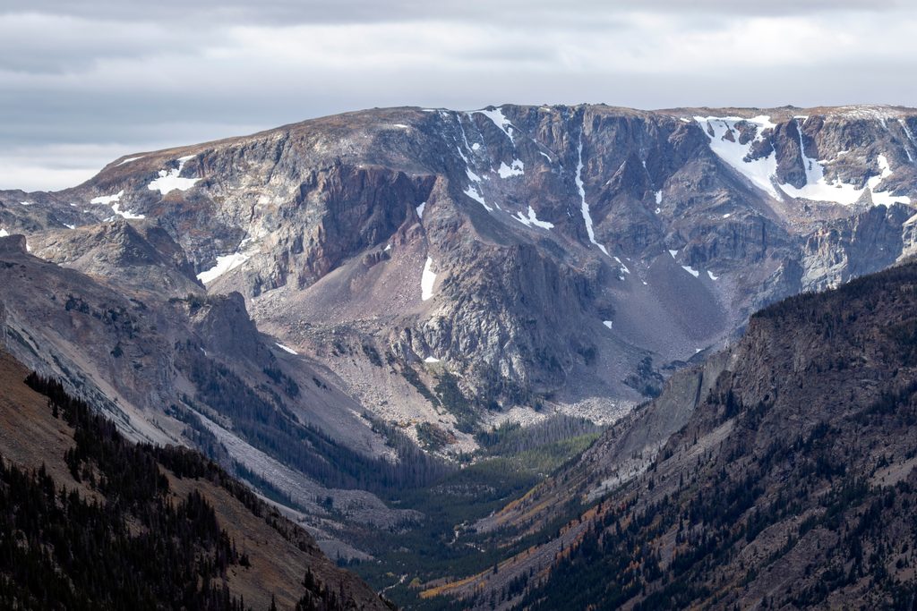
Place · 1 mi away
Easy
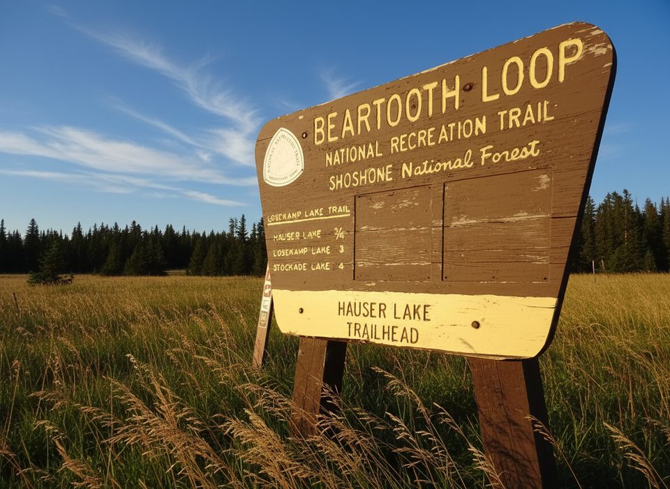
This mellow, family‑friendly path runs 2.3 miles one way between Parkside Campground and M‑K Campground, threading pine forest and open meadows in Rock Creek Canyon just off the Beartooth Highway. Expect an easy grade with roughly 200 feet of total elevation change and a net slight downhill if you start at Parkside. It’s open to hiking, mountain biking, horseback riding, and, when snow covers the tread, cross‑country skiing.
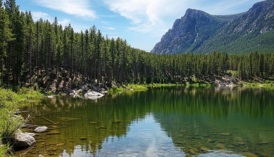
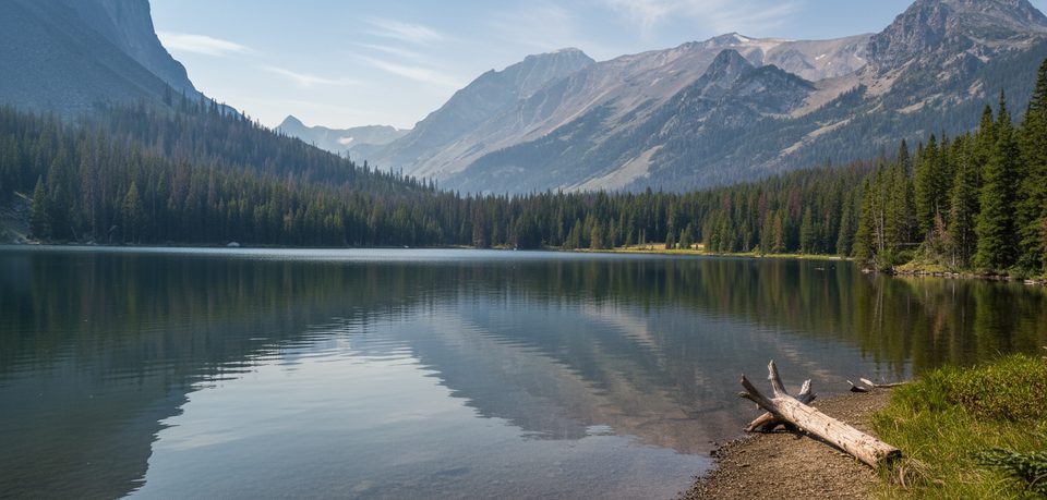
The tread alternates between shady lodgepole pine stands and sunny meadow openings with glimpses of Rock Creek’s canyon. It’s a true singletrack vibe—reported rockier near the Parkside end and smoothing out as you approach Greenough Lake—more about a pleasant forest ramble than big viewpoints. Altitude sits roughly in the 7,100–7,400‑foot range, so weather can turn quickly.
Best signed access is at Parkside Campground near the group sites. From the Beartooth Ranger District, drive south on US‑212 for 10.7 miles, turn right on Main Fork Road (FR 2421), and continue 0.4 mile to the campground entrance. The trail also touches Greenough Campground (limited parking) and ends at M‑K Campground. Key distances: Parkside Campground to M‑K Campground is 2.3 miles one way; Parkside to Greenough Lake is about 1.25 miles, with a short 0.2‑mile connector from Greenough Campground down to the lake. Ride or hike it as an out‑and‑back, or stage a car for an easy shuttle and a gentle net‑downhill from Parkside to M‑K.
Late spring through fall is the sweet spot for hiking and biking; in winter the corridor is used for cross‑country skiing when snow‑covered. Beartooth Highway openings typically span from the Saturday of Memorial Day weekend to mid‑October, but that varies with storms—plan accordingly and always bring layers at this elevation.
This is a busy multi‑use corridor, especially near Greenough Lake. Expect families, bikes, and stock; slow down, yield appropriately, and keep dogs leashed. You’re in bear country—carry bear spray and know how to use it. Cell coverage is spotty, and mountain weather shifts fast.
Primary access at Parkside Campground near group sites (US‑212 south 10.7 mi, right on Main Fork Rd/FR 2421 for 0.4 mi). Additional access at the back of Greenough Campground (limited parking) and at M‑K Campground.
Expect heavy multi‑use traffic near Greenough Lake; limited parking at Greenough. Bear country—carry spray and leash pets. Weather changes quickly at 7,000+ ft and cell service is limited. Seasonal highway closures can affect access.
Place · 1 mi away
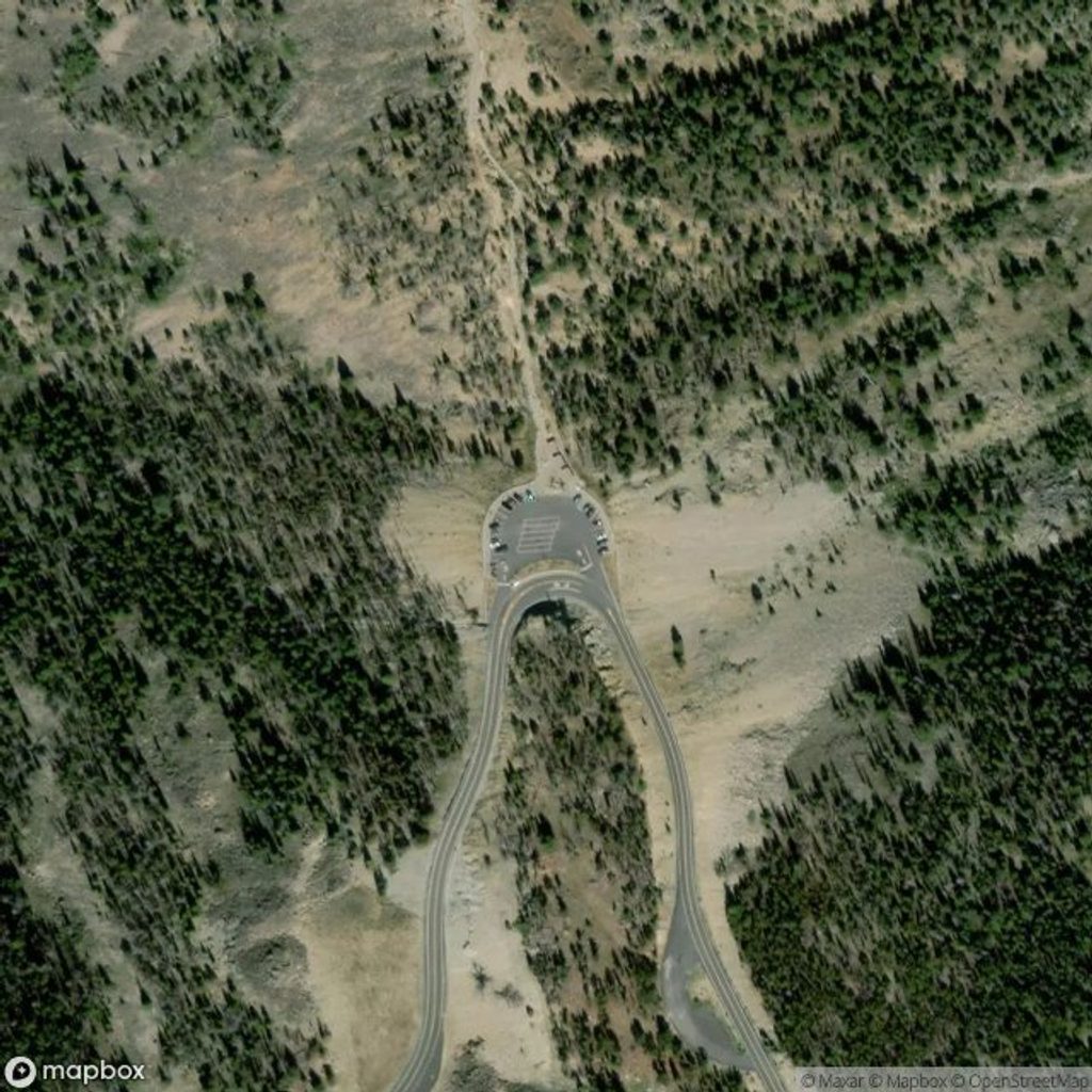
Place · 1.2 mi away
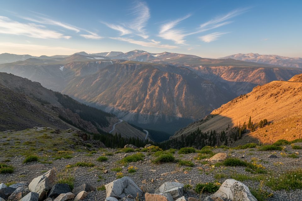
Place · 2.3 mi away
Place · 4.8 mi away
Easy · 0.5 mi away
Easy · 1 mi away
Challenging · 1.3 mi away
Challenging · 1.3 mi away

Parkwolf Tour Guide
