Quad Creek Scenic Overlook

Tiny pullout, huge tundra views over the Quad Creek valley
Quad Creek Scenic Overlook, Beartooth Highway
InsideBeartooth Highway

Overview

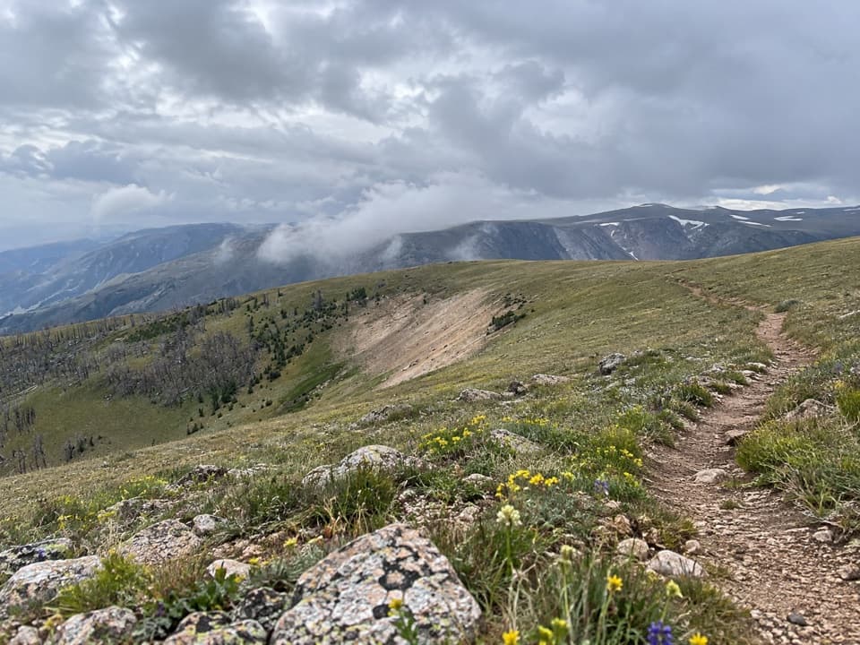
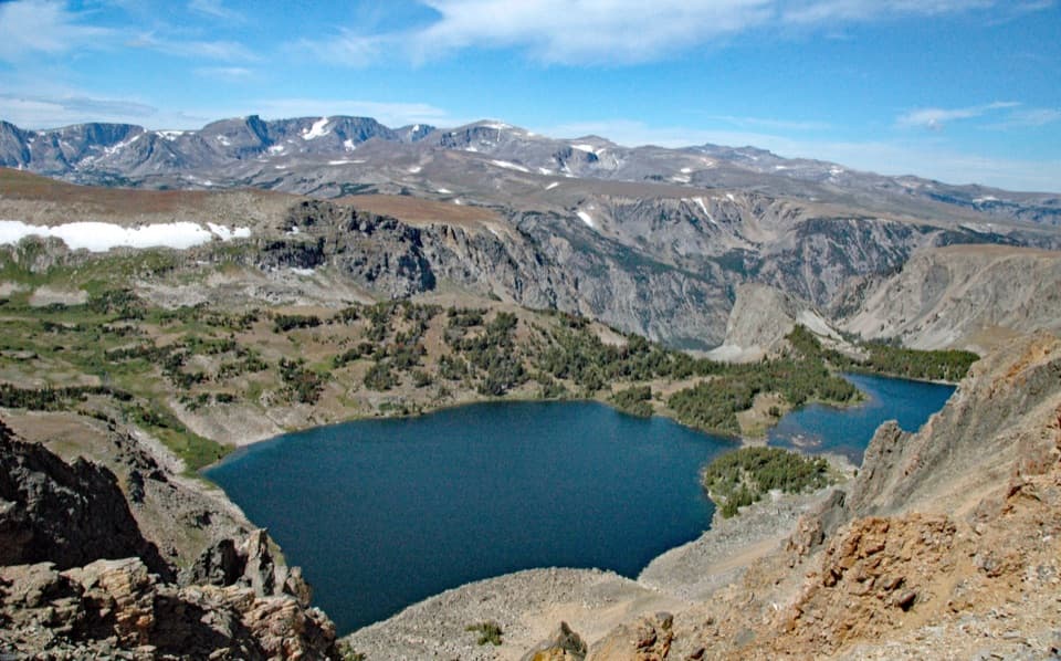
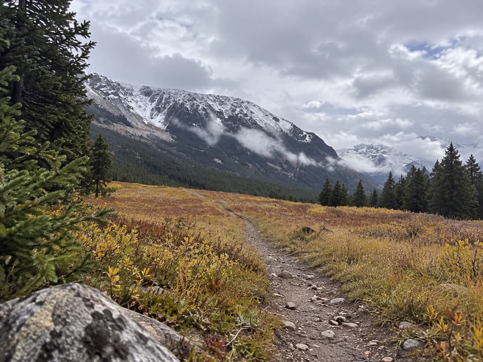
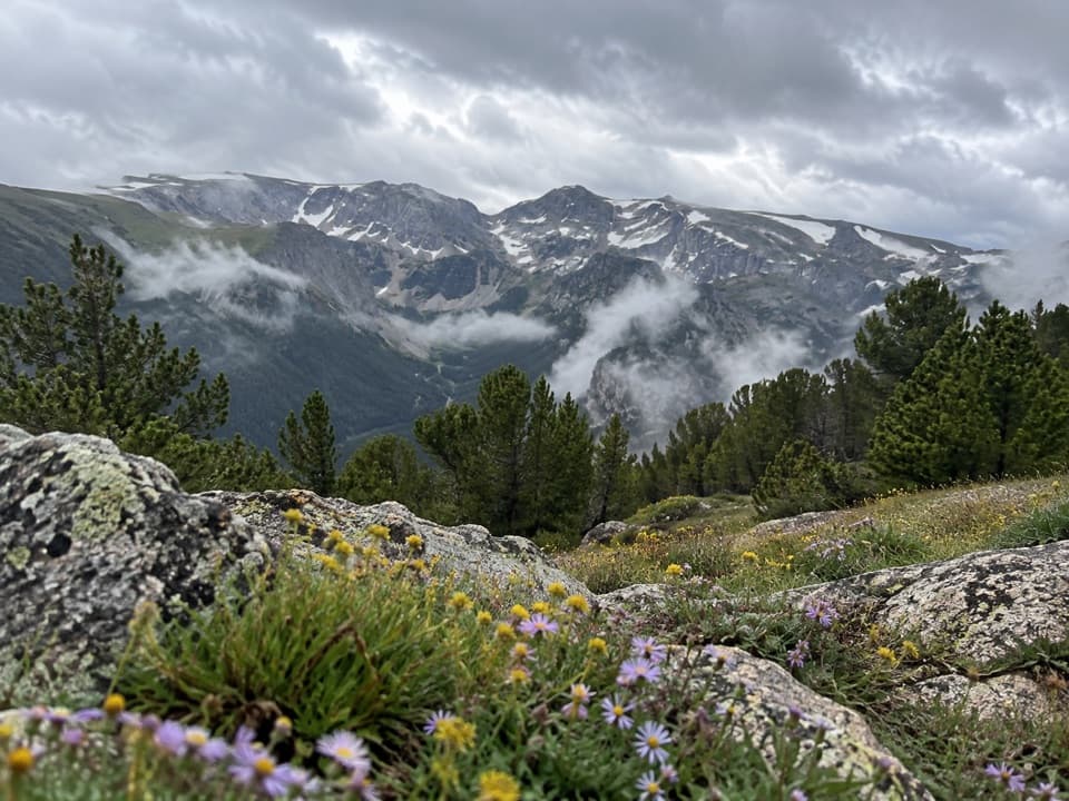
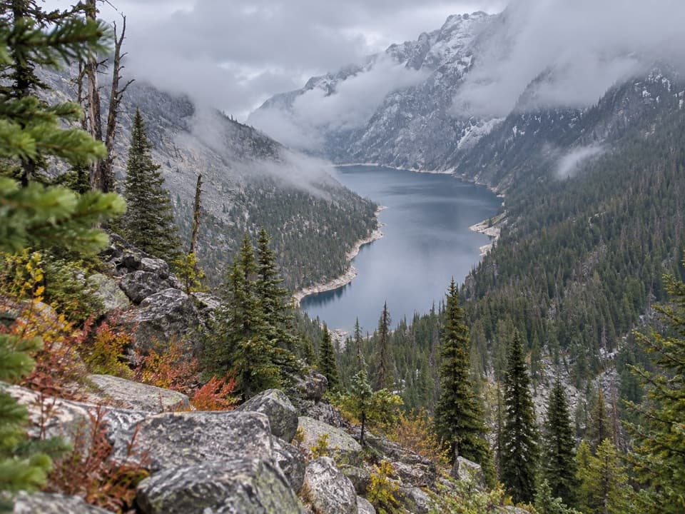
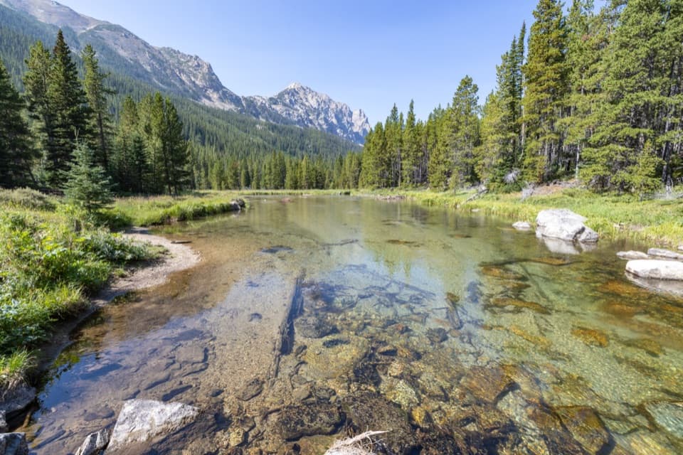
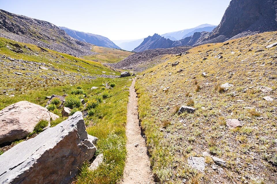
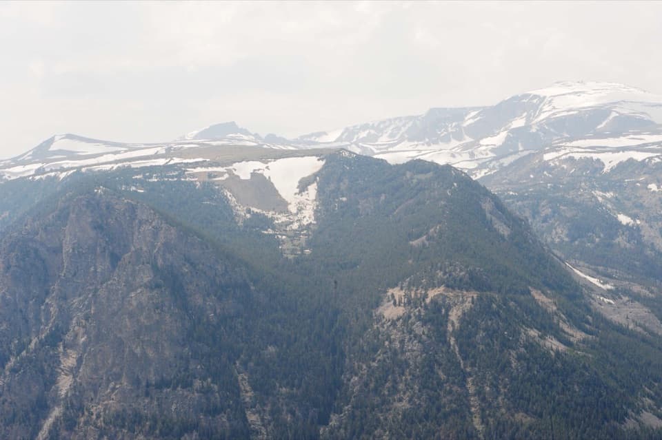
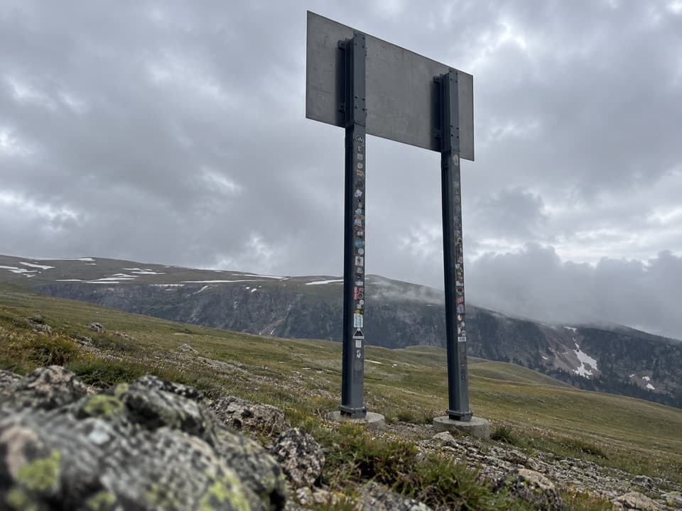
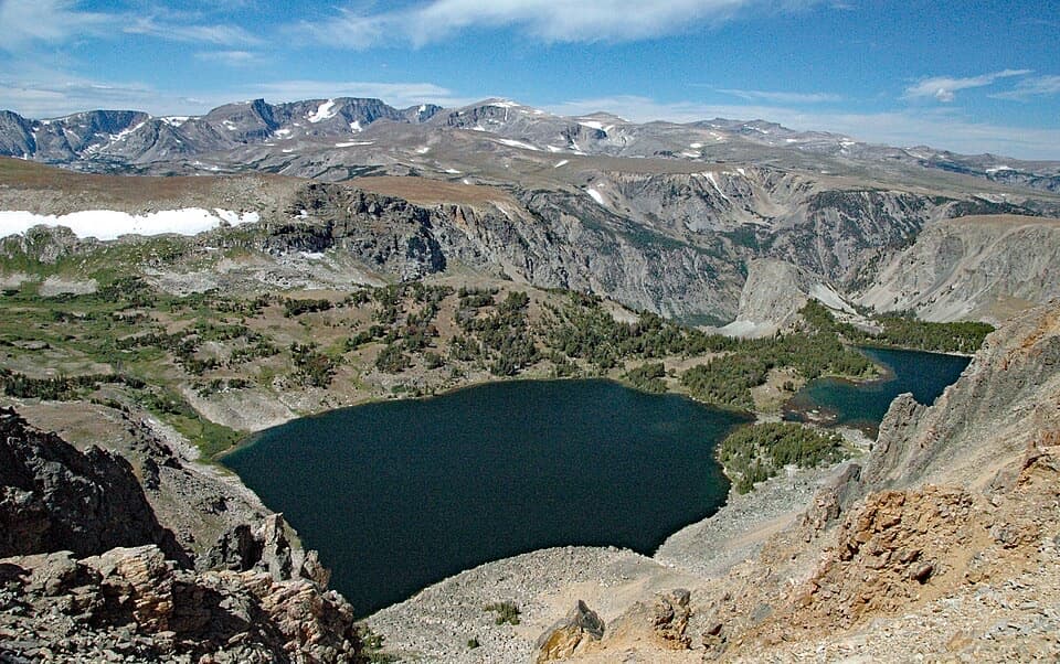
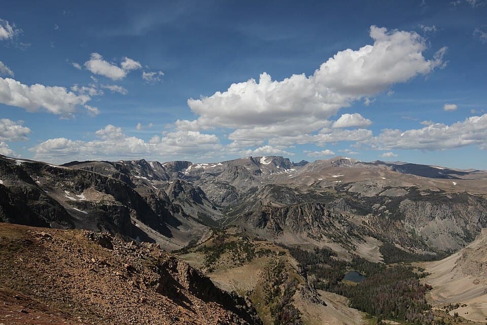
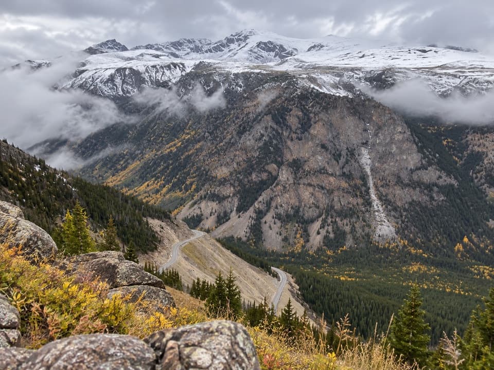
A small, informal roadside pullout on the high Beartooth Plateau, Quad Creek Scenic Overlook dishes up that “top of the world” feel without a hike. You’re between Rock Creek Vista Point and Beartooth Pass, gazing across rolling alpine tundra and the meandering Quad Creek with ponds and lingering snowfields.

What You’ll See

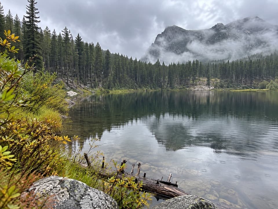
  • Big‑sky tundra dotted with lakes and a broad view into the Quad Creek drainage.
  • The famous Montana switchbacks laid out below in layers.
  • Frequent small‑critter cameos—chipmunks, marmots, and ravens—and a wildflower show that peaks mid‑ to late summer.

Geology Snapshot

The Beartooth Plateau exposes some of the oldest rocks in Montana—and among the oldest on Earth—shaped by glaciers into a high, gently rolling tundra pocked with lakes. It’s one of those rare places where deep time sits right beside the pavement.

Season, Safety, and Road Status

US‑212 here is a seasonal, high‑elevation highway that typically opens around late May and can run into October, but storms can close it anytime—even in June or late September. Expect strong wind, fast‑changing conditions, and occasional sleet or rime when valleys feel mild. Drive slowly, pull fully off the pavement, and watch for cyclists and wildlife. Take it easy at this altitude: hydrate and don’t overexert.

Services and Nearby Facilities

There are no facilities at the overlook. The nearest developed stop is Rock Creek Vista Point (vault toilets). Farther along the corridor, Top of the World Store operates seasonally (fuel and vault toilets, no potable tap water). On the Wyoming side, Clark’s Fork Overlook and Clay Butte Lookout have vault toilets. Plan water and layers before you commit to the plateau.

Getting Your Bearings

This pullout is roughly 22.6 miles from Red Lodge and about 45.5 miles from the Northeast Entrance to the park corridor near Cooke City—useful reference points as you plan where to stop for restrooms or fuel.

Best Time to Visit

Mid‑ to late summer offers the best odds of open road and blooming tundra. Any day can turn winterlike at this elevation, so check conditions before you go. Early or late in the season can be spectacular but volatile.

Pair It With

Rock Creek Vista Point for interpretive views, Beartooth Pass for the true rooftop experience, and (conditions permitting) a lap across the plateau toward Beartooth Lake or the Chief Joseph Scenic Byway.

Pros

  • Wide-open alpine tundra views over the Quad Creek valley
  • Quick, no-hike stop that’s great for photos

Cons

  • No built facilities
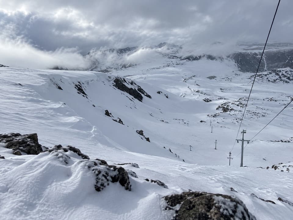
  • Wind and sudden winterlike weather are common even in summer
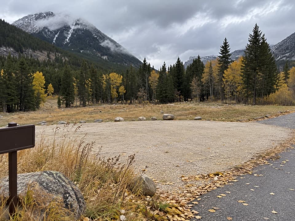
  • Small pullout with limited parking space

Tips

  • There are no facilities here—use the vault toilets at Rock Creek Vista Point.
  • Carry layers year‑round; wind and sudden squalls are common on the plateau.
  • Pull fully off the pavement and watch for cyclists when re‑entering traffic.
  • Stay on rock or pavement—the alpine tundra is fragile and slow to recover.
  • If you need fuel or a bathroom mid‑route, plan a stop at the seasonal Top of the World Store.
The Parkwolf tour guide sitting on a phone mounted in a car

Parkwolf Tour Guide

Like a tour guide in your car.

Save the places you found around Beartooth Highway, then let Parkwolf guide the drive between them.Download Parkwolf on the App Store