
Place · 0 mi away
Easy
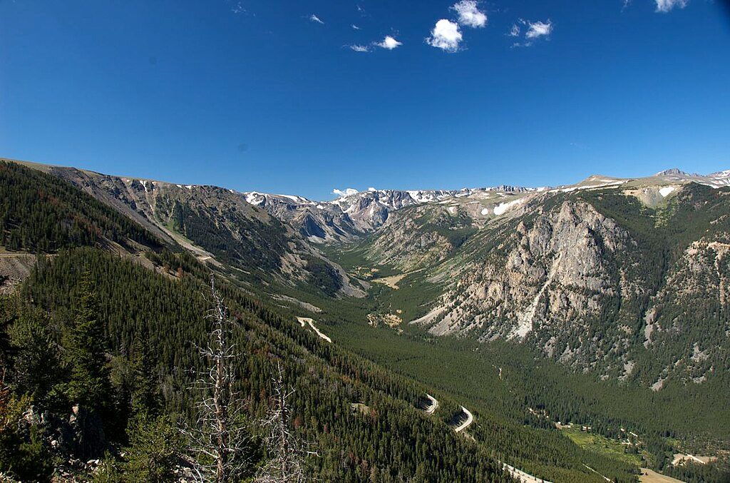
This is the definition of an easy win: a short, paved, wheelchair‑accessible walk (less than 0.5 mile total, out‑and‑back) from the Vista Point parking area to a dramatic perch above Rock Creek Canyon. Railings, a broad platform, and interpretive displays make it a relaxed stop with huge payoff. You’re up around 9,200 feet, so the air is thin—take it slow and enjoy the views.
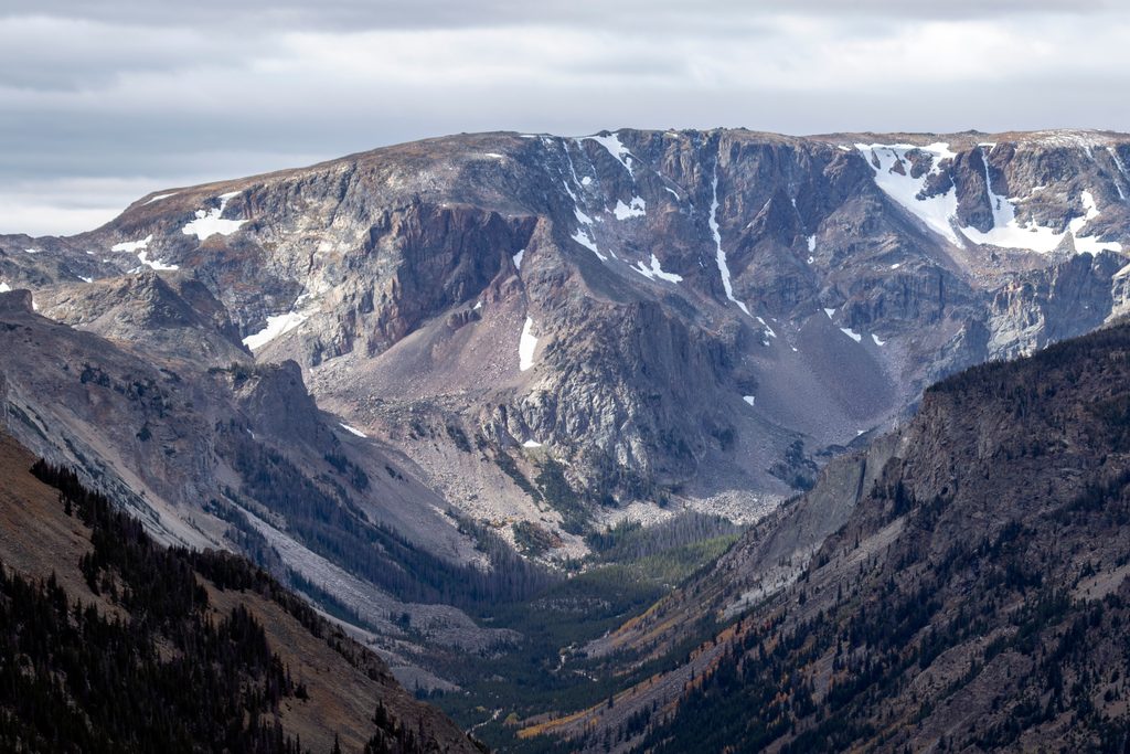
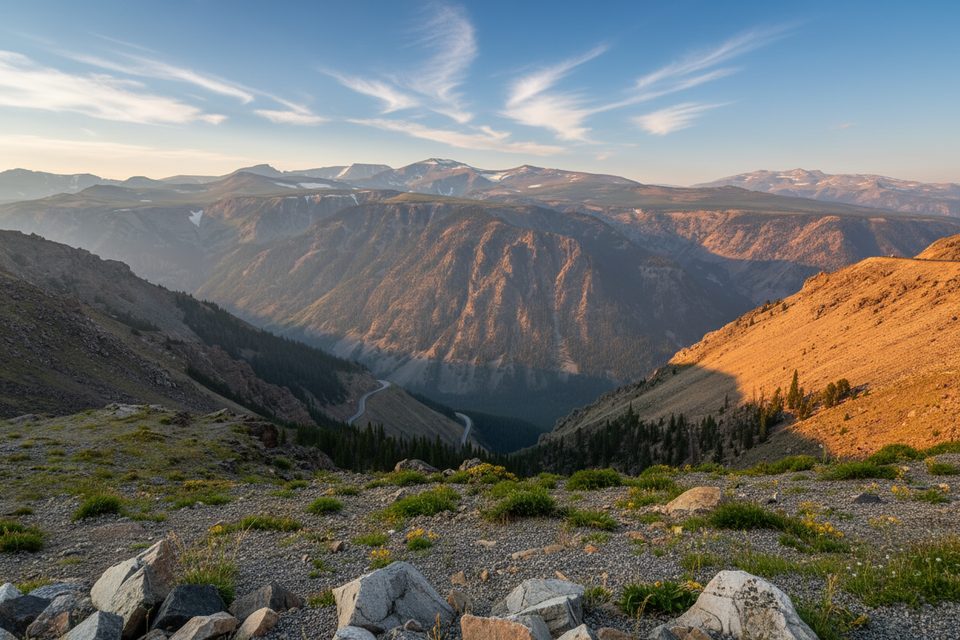
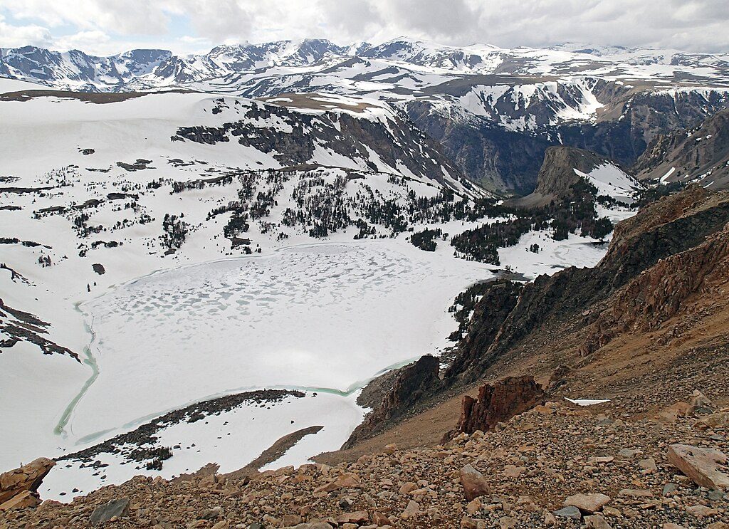
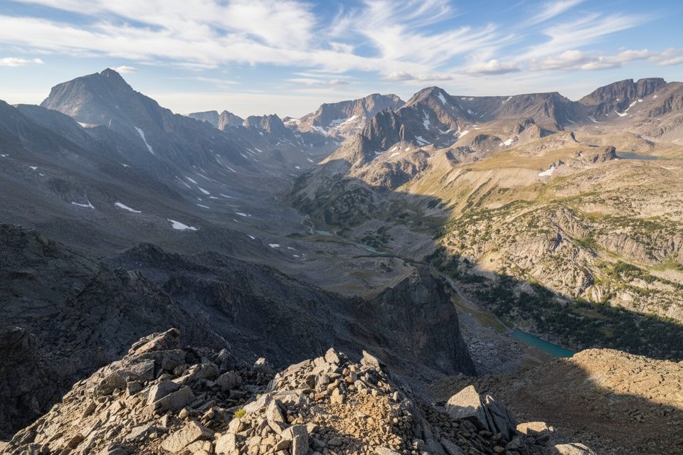
From the overlook, you’re looking across the lake‑studded Beartooth Plateau and down into the raw cliffs of Rock Creek Canyon. Those smooth, lake‑pocked surfaces and steep walls are classic alpine glacial work from the last ~2 million years. The bedrock here traces to some of North America’s oldest crust (with components billions of years old) that was later hoisted during the Laramide Orogeny about 65–57 million years ago—one reason the scenery feels so outsized for such a short walk.
The Beartooth Highway typically opens around Memorial Day and runs into mid‑October, but early/late season storms can shut things down anytime. Expect snow patches and chilly wind in May–June and again by late September–October. For fewer people and softer light, aim for early morning or late afternoon in summer.
This is a stop, not a half‑day hike. Pair it with other short pullouts along the Beartooth Highway or add a quick summit‑level stop elsewhere on the plateau for a bigger day without much effort.
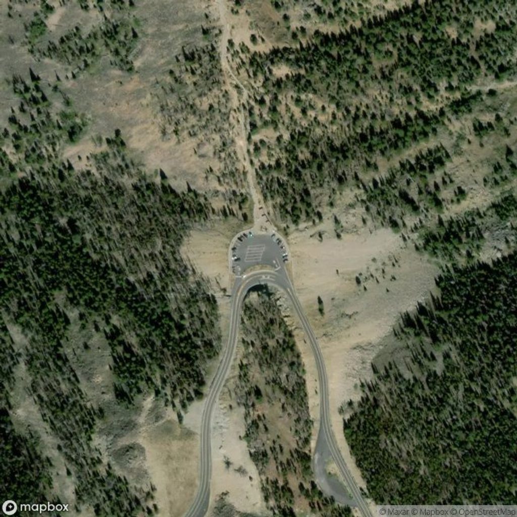
Large lot at Vista Point on US‑212, 18.9 miles south of Red Lodge; day‑use site with seasonal restrooms.
High elevation with fast‑changing weather and strong winds; sheer drop‑offs beyond railings; bear country—keep pets leashed and food secured.
Place · 0 mi away
Place · 0.2 mi away
Place · 1.2 mi away
Place · 3.8 mi away
Easy · 0.8 mi away
Easy · 1 mi away
Moderate · 2.2 mi away
Challenging · 2.3 mi away

Parkwolf Tour Guide
