
Place · 2.9 mi away
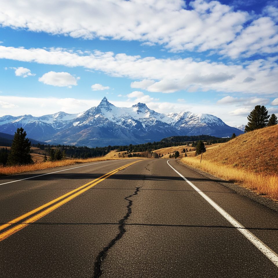
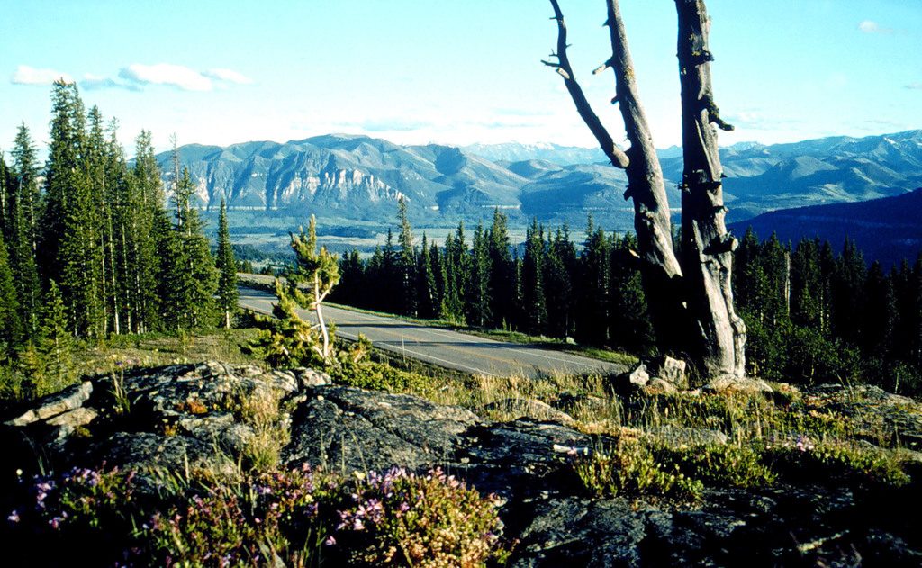
This designated overlook on the Beartooth Highway frames the dramatic volcanic spires of Pilot Peak and neighboring Index Peak. You’re looking across the Absaroka Range and down into the Clark’s Fork River Valley—big, wild country that once served as a landmark corridor for early expeditions.
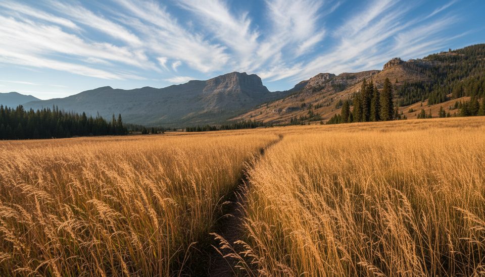
From the pullout, Pilot Peak’s sharp profile grabs your eye, with Index Peak right beside it. The wide-angle view takes in ridgelines, forested valleys, and the edge of the Absaroka–Beartooth Wilderness. It’s the quintessential “pull over and stare” stop on this stretch of US‑212.
The overlook sits near the western end of the highway, just below the Wyoming–Montana state line and close to Cooke City. It’s on the north side of the road with a large gravel parking area and interpretive signage—easy in, easy out for a quick photo stop.
There are no restrooms at this overlook. Nearest vault toilets are at Beartooth Lake day-use area (2.7 miles east), Island Lake (5.7 miles east), Clay Butte Lookout (turn 0.8 miles east, then 2.6 miles up a good dirt road), Clark’s Fork Overlook (5.1 miles west), and Rock Creek Vista Point (23 miles east). For snacks and souvenirs, Top of the World Store is 4.1 miles east. If you want to stretch your legs, Island Lake and Beartooth Lake offer easy lakeside wandering, and Clay Butte Lookout adds a short, view-rich outing.
The Beartooth Highway typically opens from late May to mid‑October, weather dependent. Even in midsummer, conditions can flip from sunny to stormy fast—bring layers and be ready for wind or hail.
This is grizzly and black bear country. If you leave the pavement to explore nearby trails or camp in the backcountry, carry bear spray and practice strict food storage. If you’re eyeing Pilot Peak itself, know that experienced climbers describe it as loose, exposed, and committing, with Class 4 moves on poor rock and significant rockfall hazard—far from a beginner objective.
Place · 2.9 mi away
Place · 3.9 mi away
Place · 3.9 mi away
Place · 4 mi away
Moderate · 3.7 mi away
Challenging · 3.9 mi away
Moderate · 5.7 mi away
Moderate · 7.7 mi away

Parkwolf Tour Guide
