
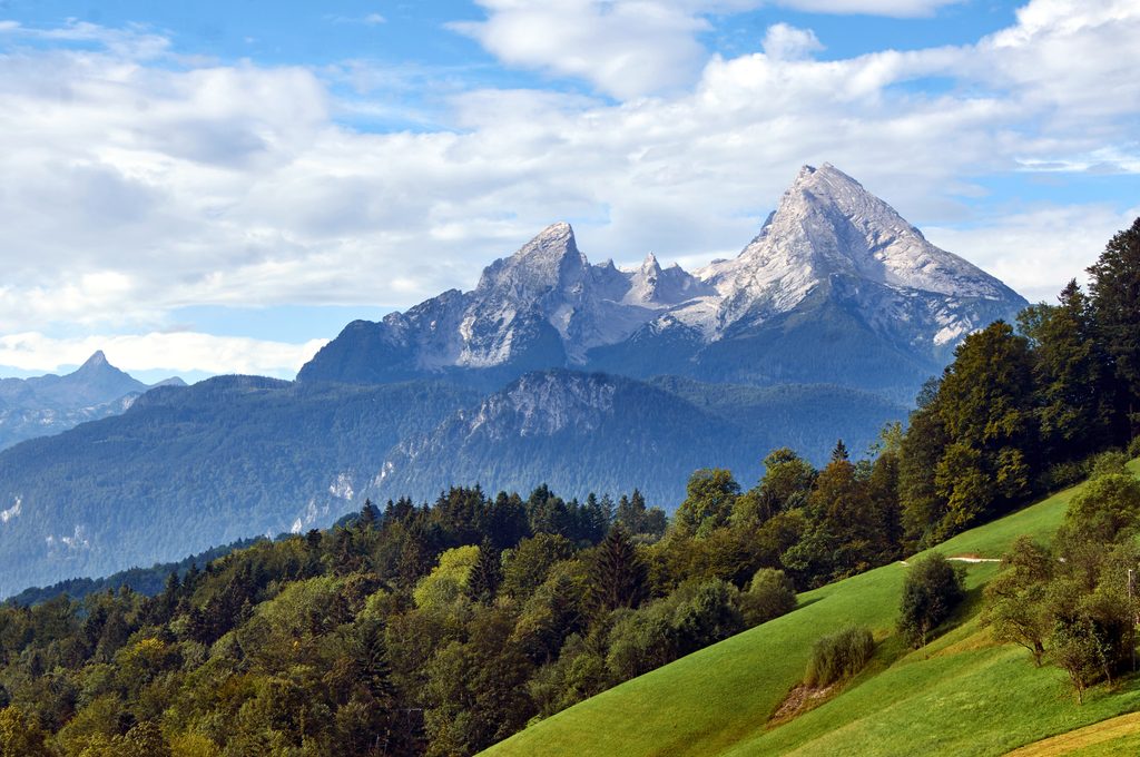
Place · 0.2 mi away
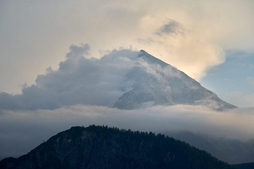
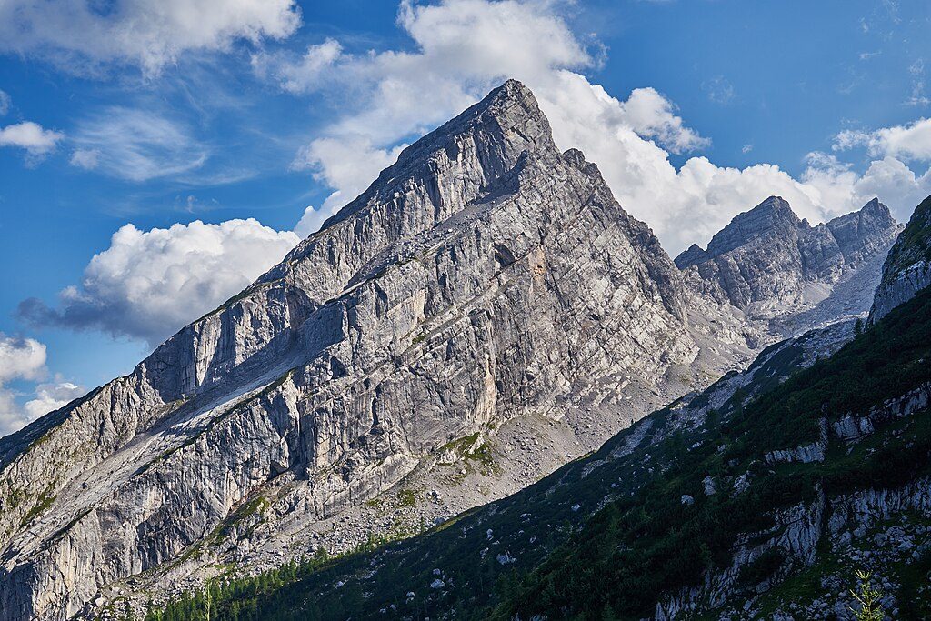
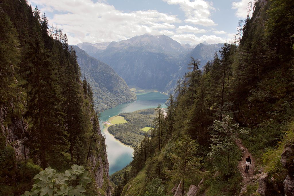
The Mittelspitze is the central, highest point of the Watzmann ridge at 2,713 m. It’s a serious alpine objective: big elevation, long hours, and an exposed summit ridge—but the payoff is massive panoramas across Königssee and the jagged Berchtesgaden Alps. The mountain’s East Face drops roughly 1,800 m, one of the tallest rock walls in the Eastern Alps.
Ambitious parties link the whole Watzmann traverse (Hocheck–Mittelspitze–Südspitze), a very long day of roughly 25–26 km and 2,000–2,300 m of ascent. This is only for experienced, fast movers in stable weather.
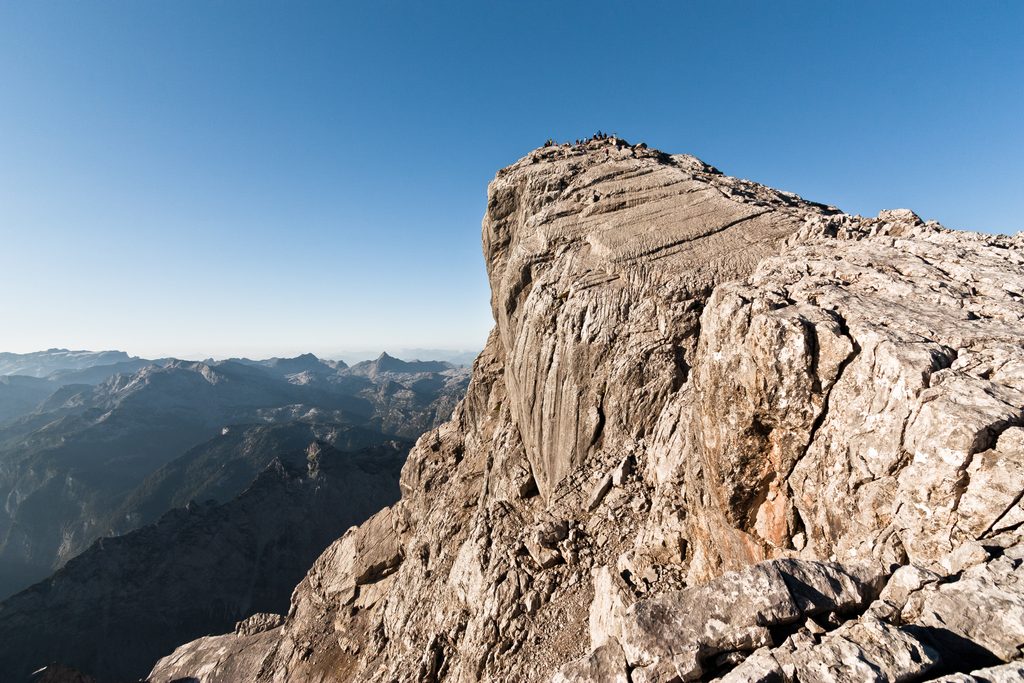
Between Hocheck and Mittelspitze, exposure is real and sustained. There are fixed cables in the hardest spots, but this is not a via ferrata. Sure‑footedness, a head for heights, and solid alpine experience are essential. A helmet is wise; some hikers clip a light via ferrata set on the ridge for confidence. The descent can be tedious and loose with moving stones. Start early and be conservative with turn‑around times—many sensibly stop at Hocheck if wind, verglas, or crowds make the ridge sketchy.
You’re moving over limestone and dolomite: sharp, gray ridges above vast scree plains like the Wimbachgries. Keep an eye out for chamois on the crags and soaring golden eagles. Treat wildlife with space, especially near cliffs and nesting zones.
Watzmannhaus is the key staging hut—reserve in peak season if you want to split the trip. Toilets are at staffed huts (Kühroint Alm when operating, and Watzmannhaus). There’s no water on the ridge and none until you’re back in the valley, so carry what you need.
Aim for stable summer weather when the ridge is typically snow‑free. Start pre‑dawn to reach Hocheck before the heat and to traverse the ridge before any afternoon build‑ups. Expect more people in high season; early starts help. Shoulder seasons can bring snow or morning ice—microspikes may be prudent when conditions dictate. For photos, morning light rakes the ridge and the walls above Königssee; midday is harsh and less flattering.
Place · 0.2 mi away
Place · 0.3 mi away
Place · 0.4 mi away
Place · 1 mi away
Challenging · 2.4 mi away
Challenging · 2.4 mi away
Moderate · 2.4 mi away
Easy · 3.1 mi away

Parkwolf Tour Guide
