Place · 0 mi away
Easy

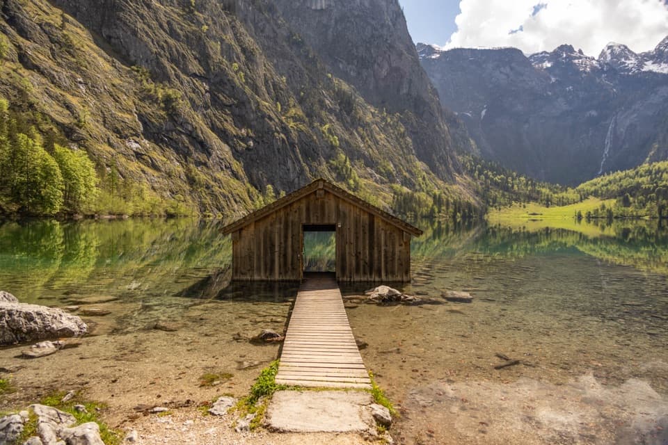
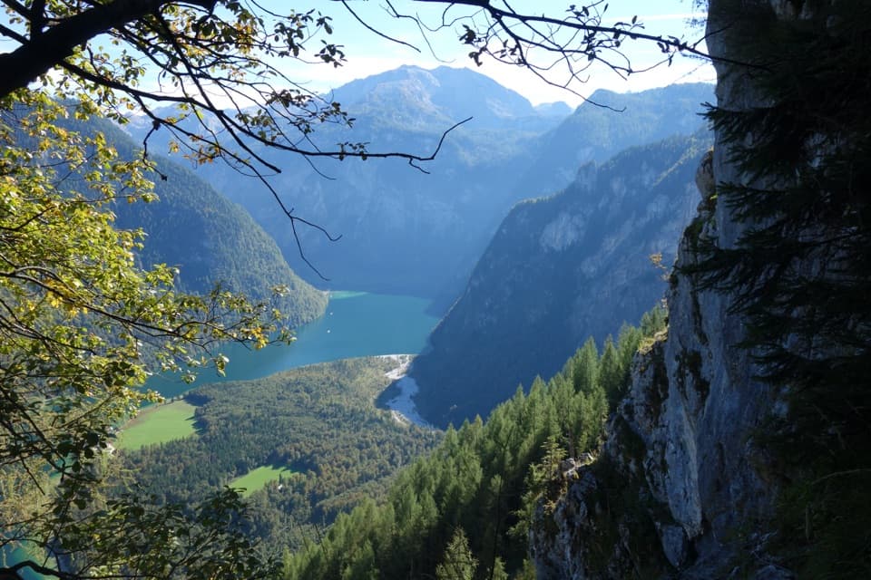
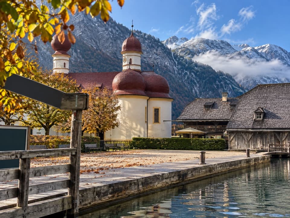
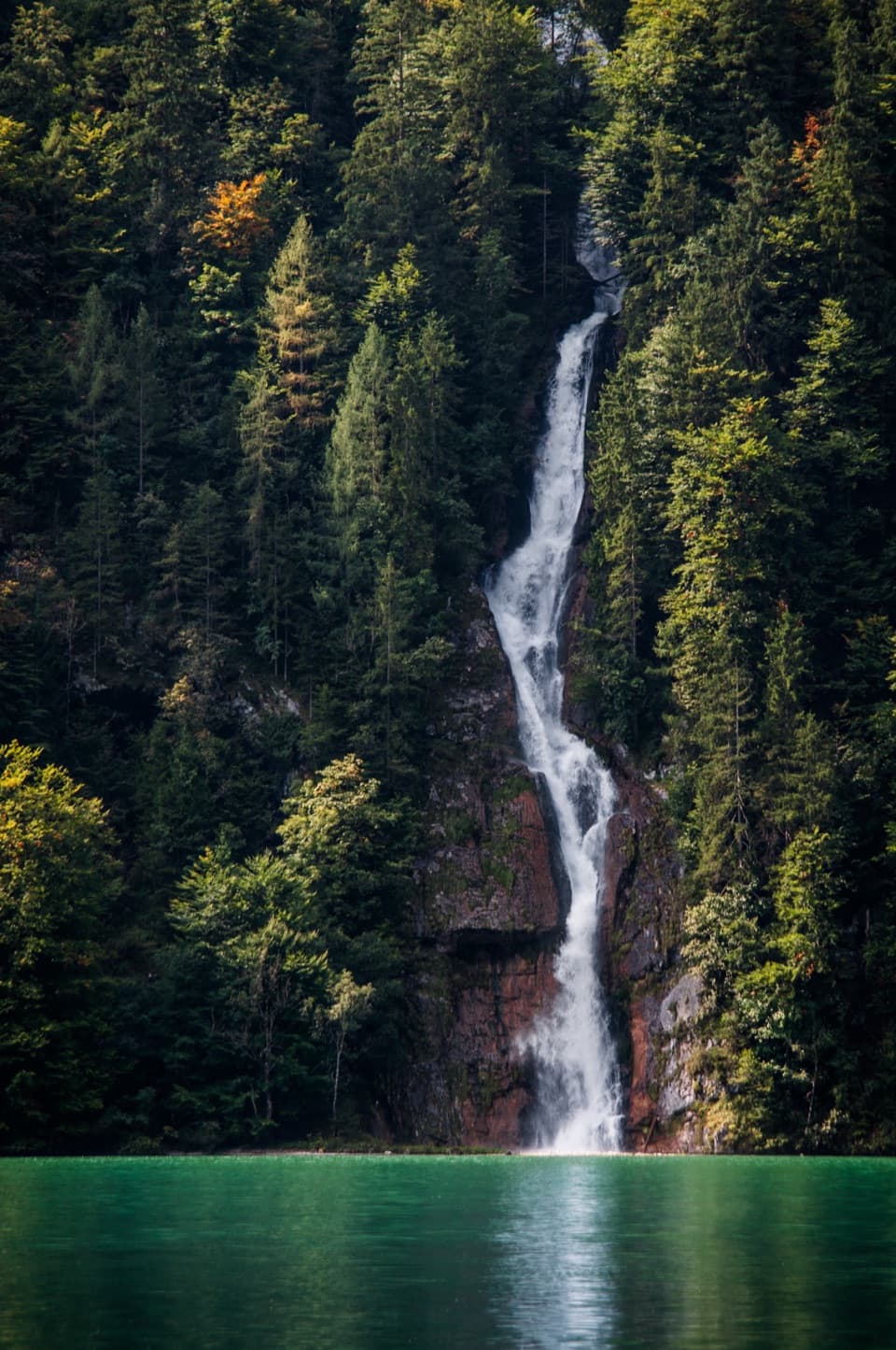
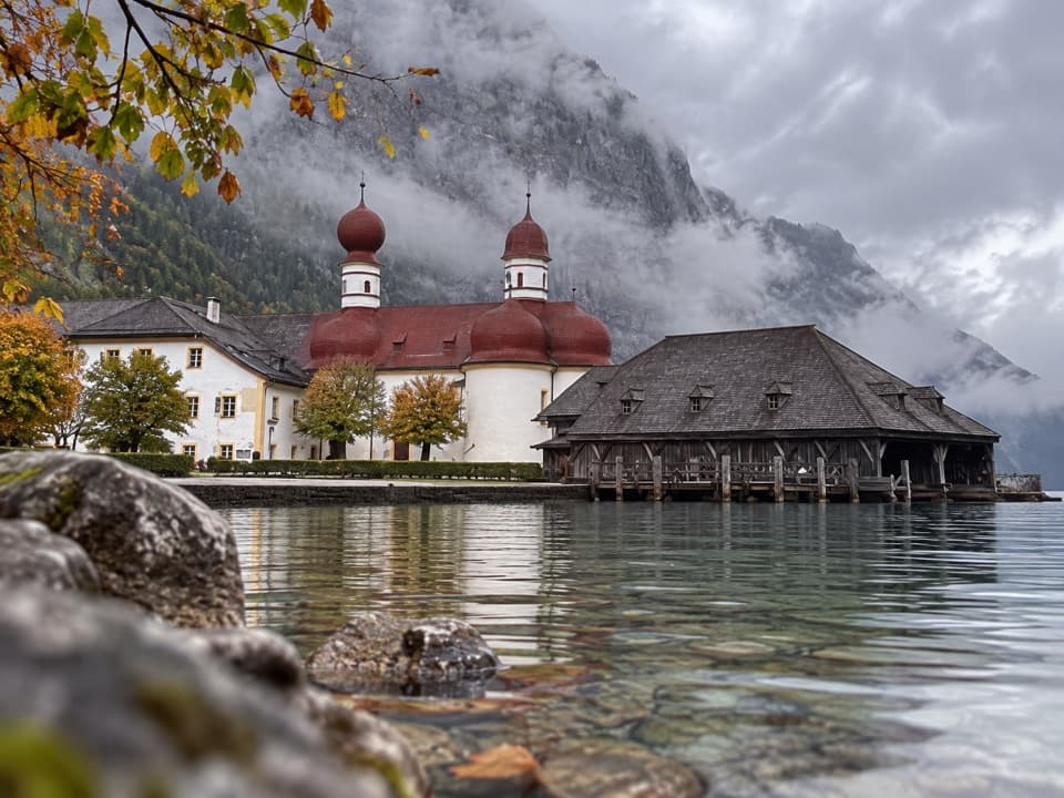
This is the crowd-pleasing Königssee combo: an electric-boat ride to Salet, a lakeside path along mirror-clear Obersee, a snack stop at Fischunkelalm, and a finale at Röthbachfall—often cited as Germany’s highest waterfall. The hike itself is short and mostly easy, but the shoreline section has narrow, rooty steps and a short traverse with a wire rope. Total distance to the waterfall and back is about 8 km (roughly 5 miles, round trip), with around 200–280 m of total ascent—expect 2.5–3 hours of hiking, not counting boat time.
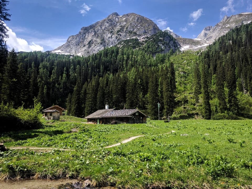
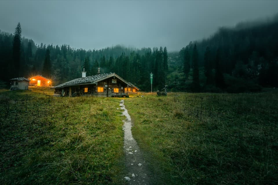
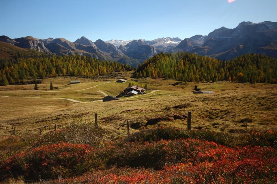
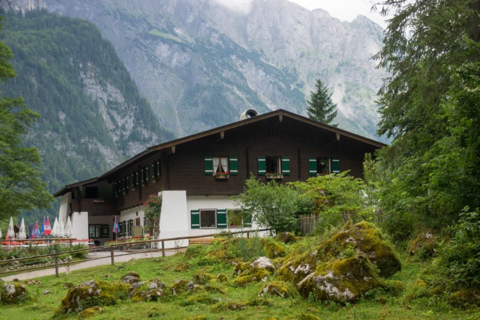
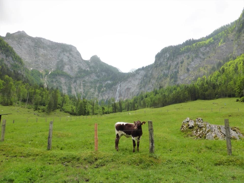
From the Salet dock (boat access only), follow the wide track past Saletalm to Obersee. Skirt the lake’s south shore on a narrow path with worn steps, uneven roots, and a short section with hand cable, then descend to the lake’s far end. At the meadow junction, detour left to Fischunkelalm for views and refreshments (seasonal), then continue about 1.2–1.5 km through pastures toward Röthbachfall on a slightly uphill, sun-exposed path. Return the same way. If you only go to Fischunkelalm, it’s about 5.4 km round trip; adding the falls brings it to roughly 8 km total.
Late spring to early summer gives the most impressive waterfall flow; later in the season Röthbachfall can run low. This area is very popular in peak season—start early to enjoy quieter paths and better photo ops on Obersee. The boat ride is mandatory; budget time for queues and confirm the day’s last return. The crossing to Salet takes roughly 55 minutes, and tickets are a separate cost (around 28.50 euros).
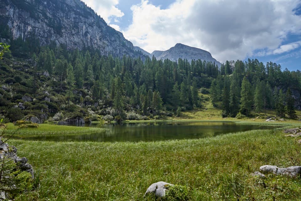
You’re walking through classic Northern Limestone Alps terrain: rubbly slopes of Ramsau Dolomite below towering walls of Dachstein Limestone—karst country with fissures and debris fans. Scan the sky for Golden Eagles over the cliffs. Around the alm you’ll likely share space with grazing cattle.
Park at the Königssee Parkplatz, walk about 500 m to the dock, then take the boat to Salet. This outing lives and dies by the timetable—plan your turn-around times accordingly.
Park at Königssee Parkplatz, walk ~500 m to the boat dock, then ride the boat to Salet for the trail start.
Narrow, uneven shoreline with steps and a short cabled section; can be slippery when wet or icy. Sun-exposed meadows to the falls. Not stroller-friendly. Time your hike to the last boat or risk being stranded.