
Place · 0 mi away
Challenging
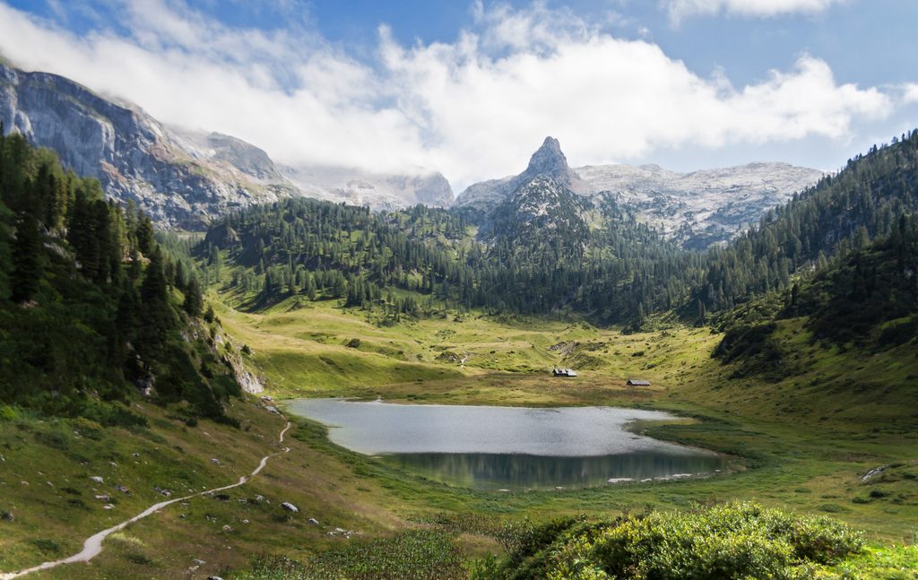
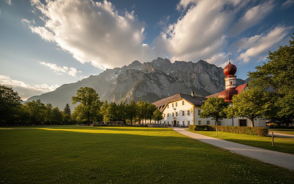
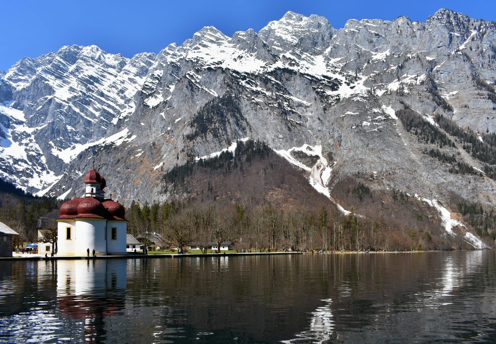
This classic mountain route climbs from St. Bartholomä on the Königssee up the Saugasse’s famous hairpins to the Kärlingerhaus hut above the idyllic Funtensee. It’s a sustained, steep hike with big scenery and a real “journey” feel thanks to the boat approach. Plan on about 6.5 miles one way (roughly 10–10.6 km) with around 1,080–1,200 m of ascent. Most hikers go up in one long day, overnight at the hut, and descend the next.
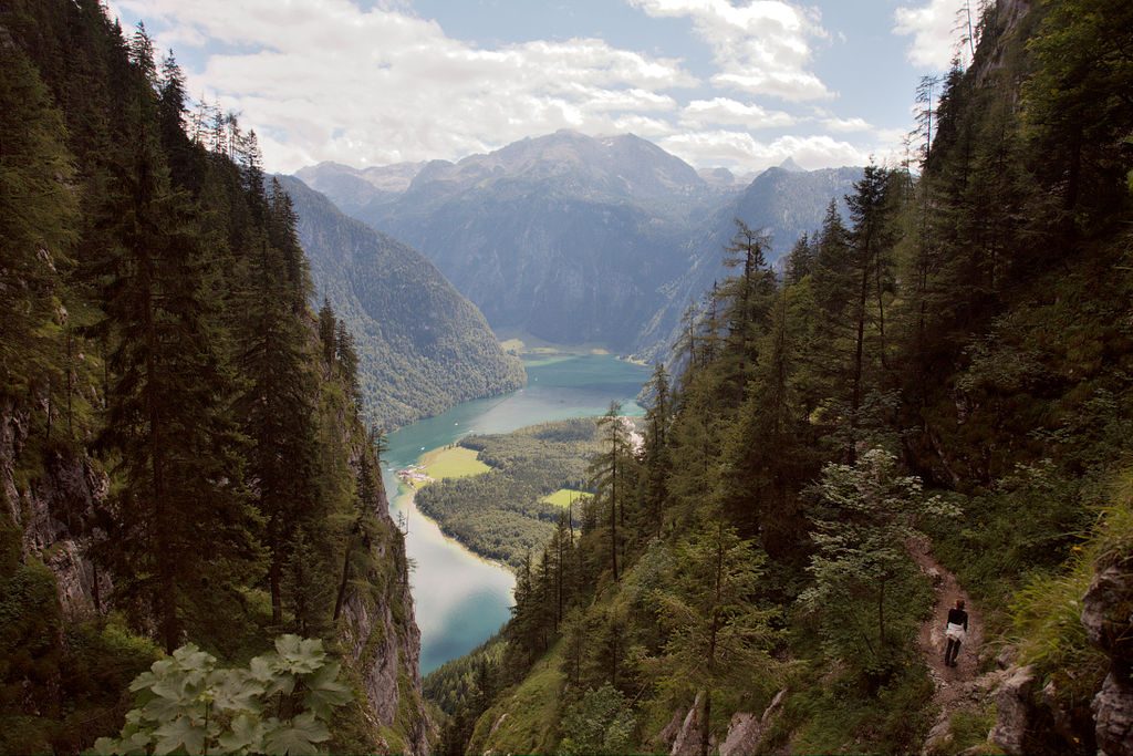
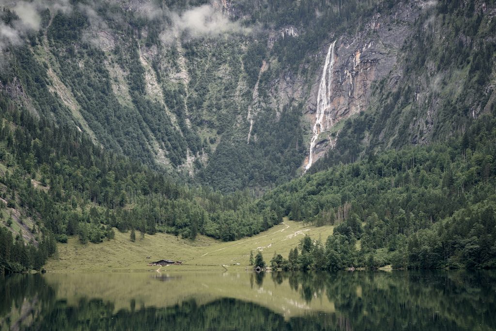
From the lakeshore, follow the signed path (trail numbers 410/412) past Schrainbach Falls toward the Saugasse. The ravine’s 30‑plus tight switchbacks climb roughly 400 vertical meters on a built mountain path—strenuous but straightforward if you’re sure‑footed. Above the main Saugasse you pass features like Bärengraben and the “kleine Saugasse,” then ease into the Ofenloch basin before a gentle descent to the hut. Funtensee sits in a cold‑air basin below the Kärlingerhaus and is renowned for temperature extremes.
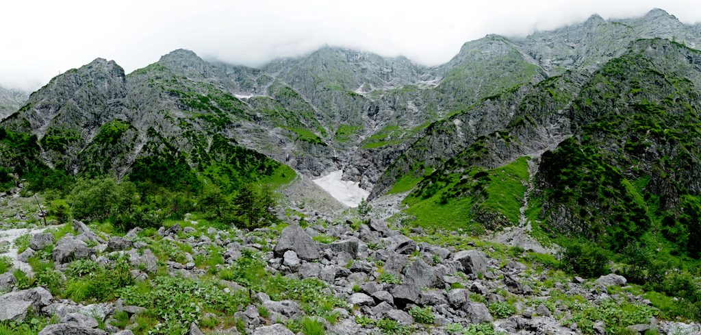
Expect varied lake‑and‑limestone drama: forested lower slopes, the narrow Saugasse ravine, and the doorstep to the Steinernes Meer—an austere, high karst plateau that is largely waterless. Keep an eye out for chamois on open slopes and aerial hunters like golden eagles. Woodpeckers and small owls inhabit the forests bordering the route.
This is a challenging, sustained ascent rated a marked mountain trail. Sections along the lakeshore have short exposed spots above the water; higher up, paths are narrow and rocky. Early and late season often bring snow or ice. Water sources on the ascent are unreliable—carry what you need. The park’s color‑coded signs classify difficulty on the ground (blue/easy, red/moderate, black/difficult); expect mostly red with occasional spicier sections. Pay attention to signposts, as ratings can differ across tour portals. In 2025, some paths near Trischübel had closures due to rockfall—always check current notices before adding variants.
There’s no road access to St. Bartholomä—the electric boat across the Königssee is the standard approach. Take the first boat if you can; the timetable dictates your day. The Kärlingerhaus offers food and lodging in season (reservations strongly advised), with an unstaffed winter room outside the main season. Dogs are allowed in the national park on a leash, and the hut has limited dog capacity with advance arrangement. For gear: sturdy boots and poles are smart; in shoulder or winter conditions, add traction aids and warm layers. Carry a topo or offline GPS—navigation is straightforward but long. If conditions and time allow, short bonus summits like nearby Feldkogel or Viehkogel leave from the hut.
Late spring through early autumn is the sweet spot, when boats run frequently and the hut is staffed. Start early for cooler temperatures, steadier footing on the Saugasse, and calmer light over the lake. Outside of peak season, expect cold, early dusk, and potentially icy terrain—treat it like a serious alpine outing and verify boat operations and hut status before committing.
No road access to the trailhead; reach St. Bartholomä by electric boat across the Königssee and plan around the boat timetable.
Sustained steep climbing with 30+ tight switchbacks; short exposed lakeshore sections; early/late‑season snow and ice common; limited water on the ascent; follow color‑coded park signage and check current notices for any closures or restrictions.
Place · 0 mi away
Place · 0 mi away
Place · 0 mi away
Place · 0.1 mi away
Challenging · 0 mi away
Moderate · 0 mi away
Challenging · 1.2 mi away
Easy · 1.4 mi away

Parkwolf Tour Guide
