Parking
Take the boat from Königssee Seelände to St. Bartholomä; the one-way hike finishes back at the Seelände.
Berchtesgaden National Park, BY
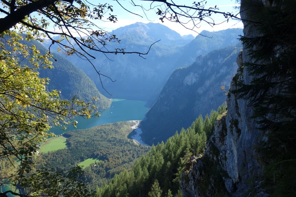
A steep, exposed climb with a high view over Königssee.
Overview
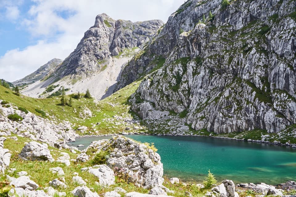
Rinnkendlsteig is an 11 km (6.8 mi) one-way mountain route from St. Bartholomä to Königssee Seelände. It climbs the eastern cliffs of Kleiner Watzmann, crosses high ground above the lake and finishes on the opposite shore. The boat crossing to St. Bartholomä is access, not part of the walking distance. Allow about six hours on foot, plus the boat transfer. This is an outing for experienced hikers with sure footing, a head for heights and strong stamina. The payoff is a dramatic climb from lake level to alpine terrain, a look into the narrow Rinnkendl gully, Archenkanzel’s steep view over Königssee and a point-to-point finish. If you’re after a gentle lakeside stroll, choose a different walk.
 Parkwolf’s verdictIs this the hike for you?
Map & elevation
Plan your hike

The highest, rockiest slopes around here are a summer buffet for grizzly bears.
Berchtesgaden Tour Guide
Parkwolf is a GPS audio tour guide for Berchtesgaden National Park. As you drive, it chimes in with what’s ahead: hidden gems, upcoming stops, history, geology, and wildlife, right through your car’s speakers.
More stories near here in the app
“Fantastic app with many points of information… It’s great to just turn on while you’re driving and it gives you an audio tour of the national Park. We love it!!!!”


Trail guide
At the St. Bartholomä landing, pass the pilgrimage church and follow marked Alpine Club path 443 northwest along the level lakeshore. Just beyond a hut in the area called Eiswinkel, Rinnkendlsteig turns left into the forest. That is the important turn: the easy shore lasts only to the foot of the climb. The first section winds up many switchbacks on Kleiner Watzmann’s steep flank through mixed forest. A short cable-protected passage comes before the trees thin; most of the secured climbing is higher up. Much of the route crosses the national park’s core zone, so stay on the marked path.
Above the tree line, several exposed passages climb about 100 vertical metres using fixed cables and metal footholds. You’re still on a marked hiking route, not a continuous via ferrata, but the line is steep and calls for steady hands and feet. At the top of a broad gully it turns right to a small shoulder, then traverses, partly downhill, into the narrow gully called Rinnkendl. Follow that gully uphill to Kührointalm’s wooded plateau at 1,325 metres. That short drop between climbing sections can catch you out if you expect a simple straight ascent. The park warns of rockfall in places, so keep to the path and give loose slopes room.
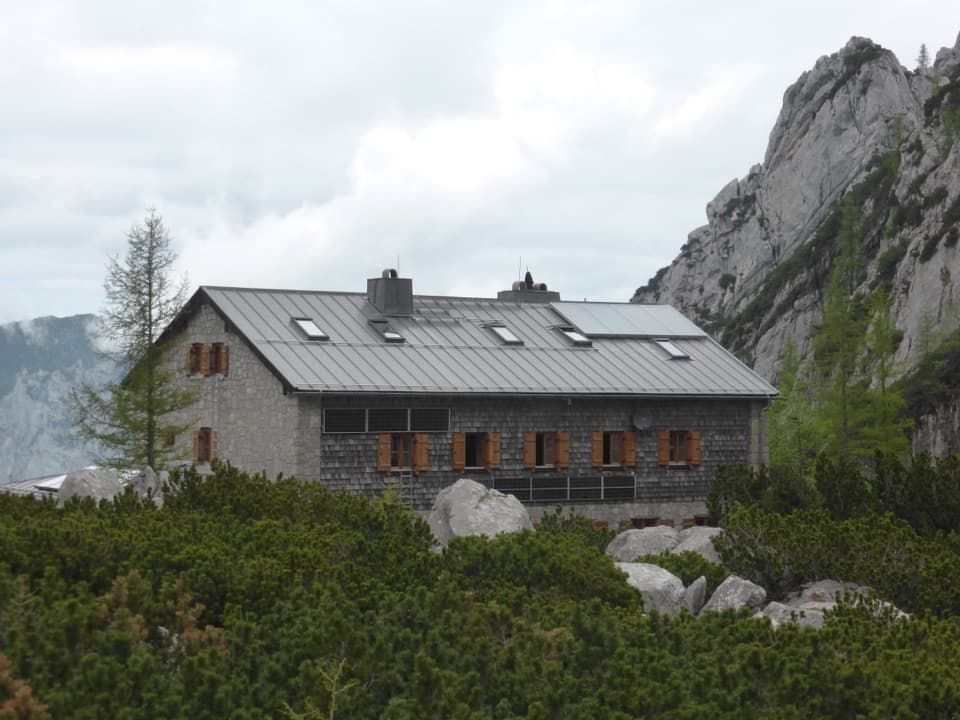
Just before the plateau, turn right for the roughly ten-minute spur to Archenkanzel. The lookout gives a steep downward view over Königssee and is one of the strongest reasons to take this demanding route. For a photo, keep a little of the rocky edge or trail in the foreground; it gives the narrow lake below a sense of scale. Return to the main route and cross a forest road and wooded ridge to Kührointhütte. It’s a managed hut with food and refreshments, a useful place for a proper break after the exposed ascent.
From Kühroint, continue down the route to Königssee Seelände. This is a through-hike, not an out-and-back, so the distance includes the full descent. The official route lists 815 metres of ascent, 810 metres of descent and about six hours of hiking. The boat crossing to St. Bartholomä is separate from those 11 kilometres. Dogs may hike in the park on a lead, but they need a muzzle aboard Königssee boats; account for that on the transfer. The boat gets you to the start, and the walk ends back at the Seelände.
Wildlife
 15 sightingsBearded VultureMost seen around noonSighting map
 31 sightingsGolden EagleMost seen around noonSighting map
 22 sightingsRed DeerMost seen around 6 PMSighting map
 132 sightingsAlpine ChamoisMost seen around 5 PMSighting map
 65 sightingsAlpine SalamanderMost seen around 11 AMSighting map
 63 sightingsAlpine MarmotMost seen around 9 AMSighting map
Sighting maps show where each species has been reported across Berchtesgaden. Wildlife moves, so no sighting is guaranteed.
Keep exploring
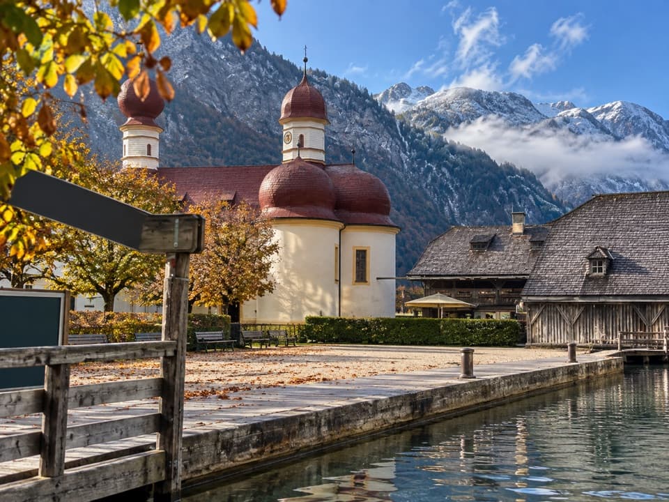 EasySt. Bartholomä-Rundweg1.9 km · 1 hr · At the trailheadA gentle loop links the lakeshore, woodland and red-domed church.
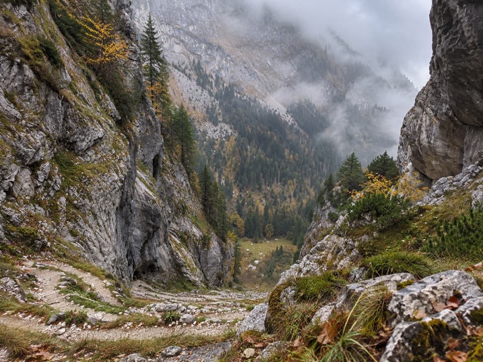 ChallengingFuntensee via Saugasse20 km · 10 hr · At the trailheadThirty-six switchbacks climb from Königssee into the Steinernes Meer.
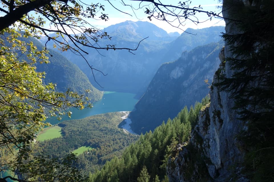 ChallengingWatzmannhaus via Rinnkendl- und Falzsteig8.5 km · 5.5 hr · 0.1 km awayCable-secured ledges above Königssee lead to a high mountain hut
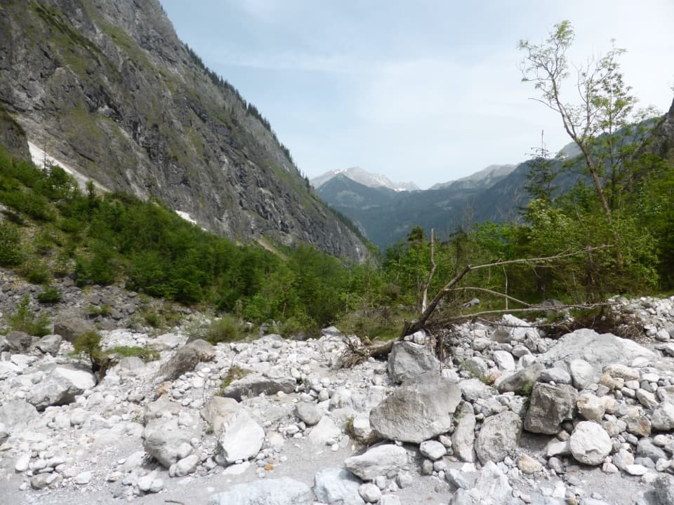 ChallengingFormer Eiskapelle Trail from St. Bartholomä5.9 km · 3.5 hr · 0.2 km awayA steep climb toward the Watzmann’s vanished ice hollow.
 ChallengingGroßes Teufelshorn via Wasseralm21.5 km · 10 hr · 2 km awayA remote, boat-accessed summit climb with exposed, cable-secured passages
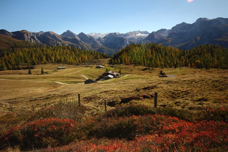 ChallengingGotzenalm via Kaunersteig15.8 km · 8 hr · 2 km awayA steep climb earns a balcony over Königssee.
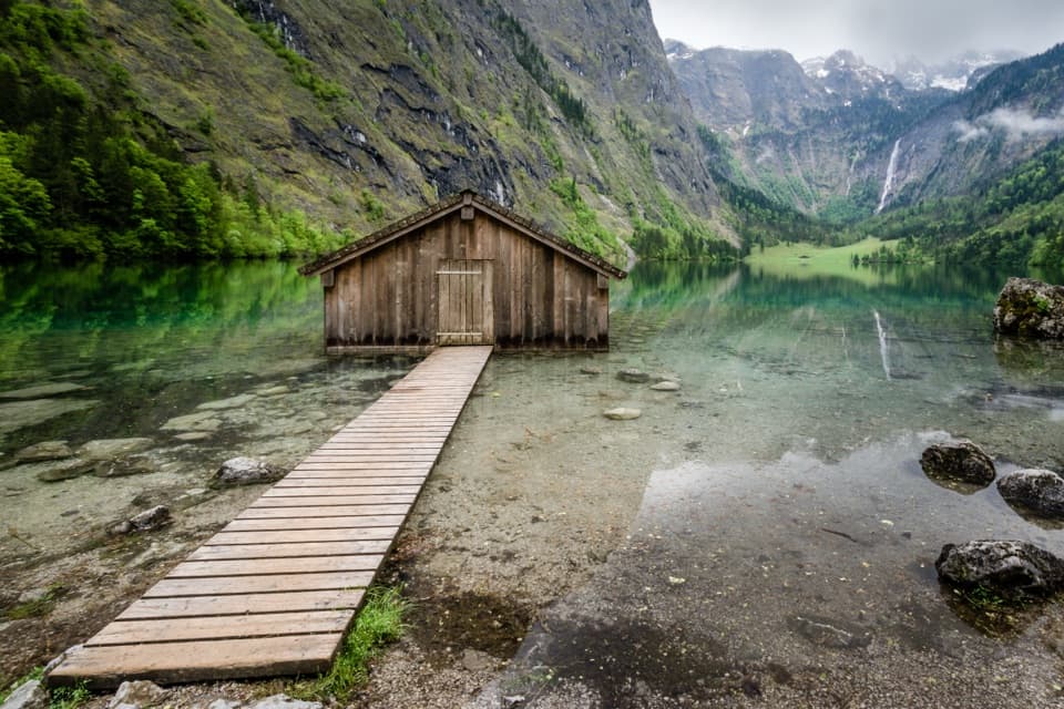 ModerateObersee – Fischunkelalm – Röthbachfall8 km · 3.5 hr · 2 km awayA rocky lakeshore walk to a meadow beneath Germany’s highest waterfall.
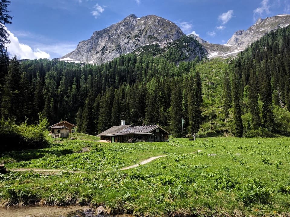 ChallengingWasseralm via Landtalsteig16.7 km · 7 hr · 2 km awayA steep, boat-served 10.4-mile climb to Wasseralm and back.
 Food · 0.1 km awayFischerei St. BartholomäA boat-trip stop for smoked fish with a long local history.
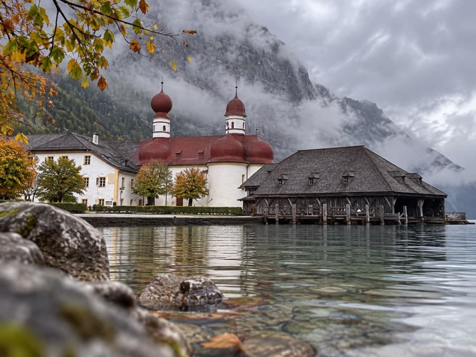 Restaurant · 0.1 km awayGaststätte St. BartholomäBavarian beer in a former royal hunting lodge on Königssee.
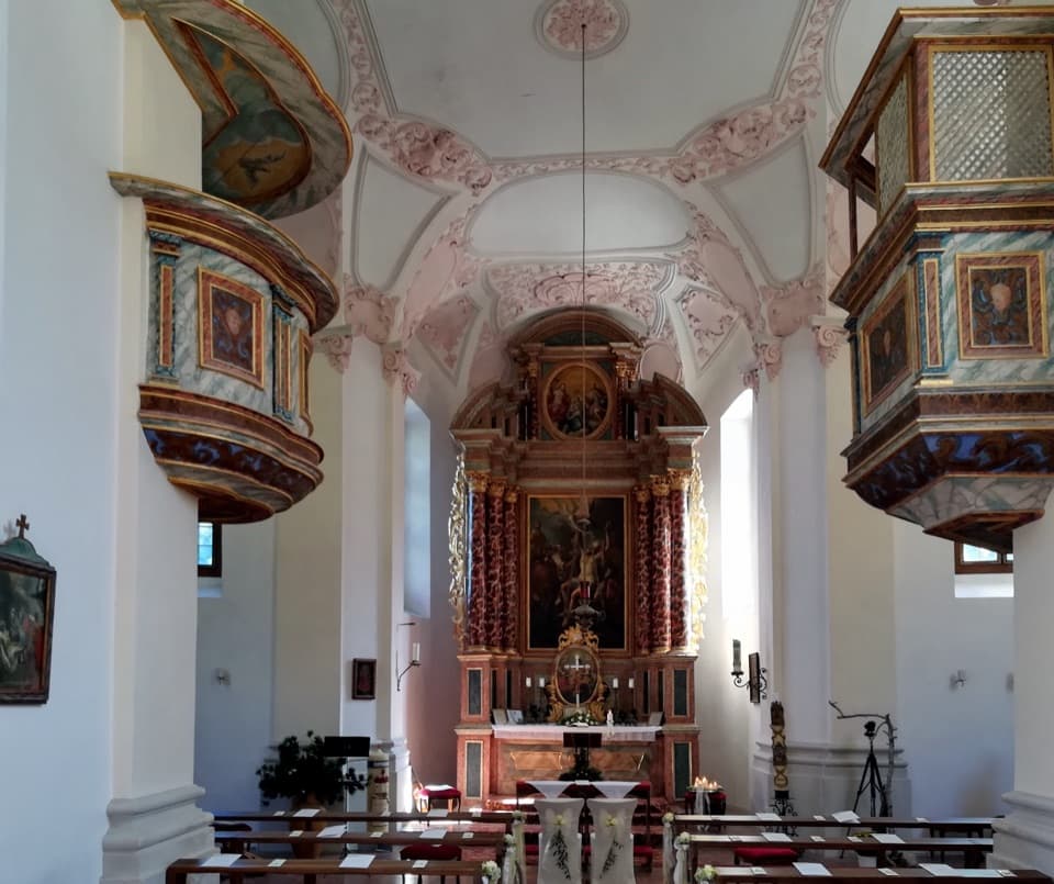 Sight · 0.1 km awaySt. Bartholomä Pilgrimage ChurchA Baroque pilgrimage church beneath Königssee’s towering Watzmann face.
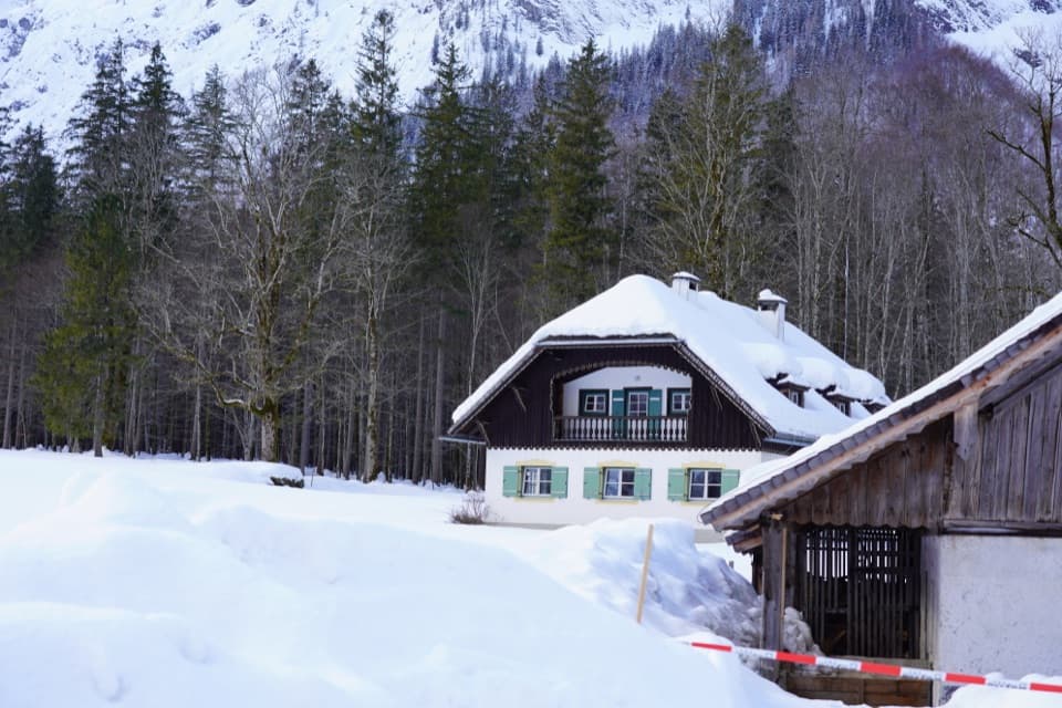 Visitor center · 0.2 km awayNational Park Information Point St. BartholomäA five-room water exhibit and 12-minute film reward a boat stop.
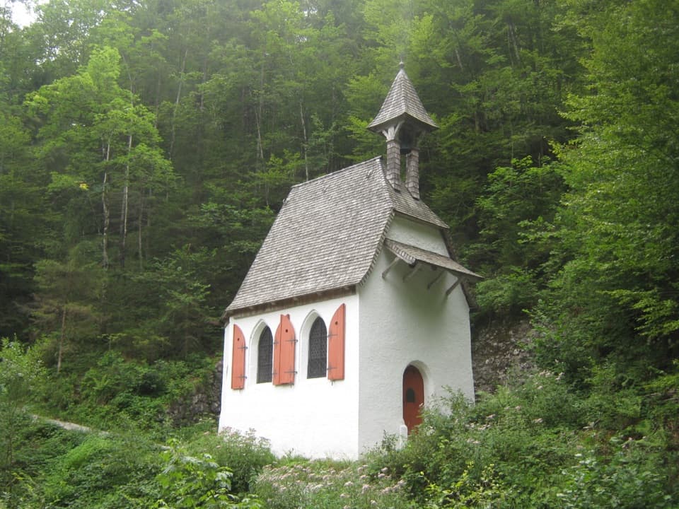 Sight · 0.9 km awaySt. Johann und Paul ChapelA quiet 17th-century chapel before the trail turns steep.
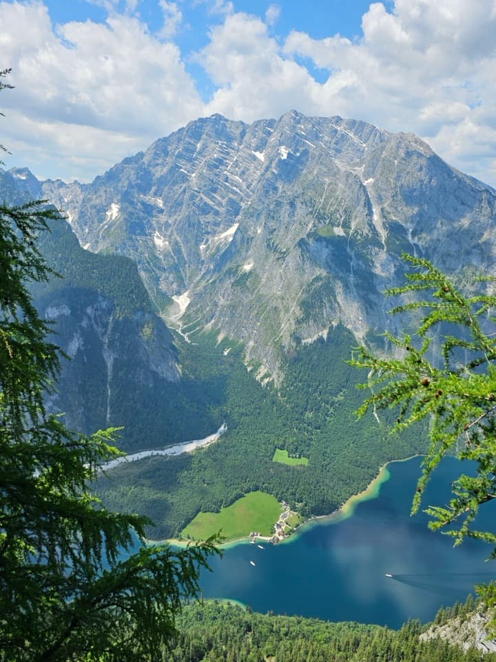 Sight · 1.5 km awayFeuerpalfen ViewpointTen minutes from the hut, with Königssee far below.
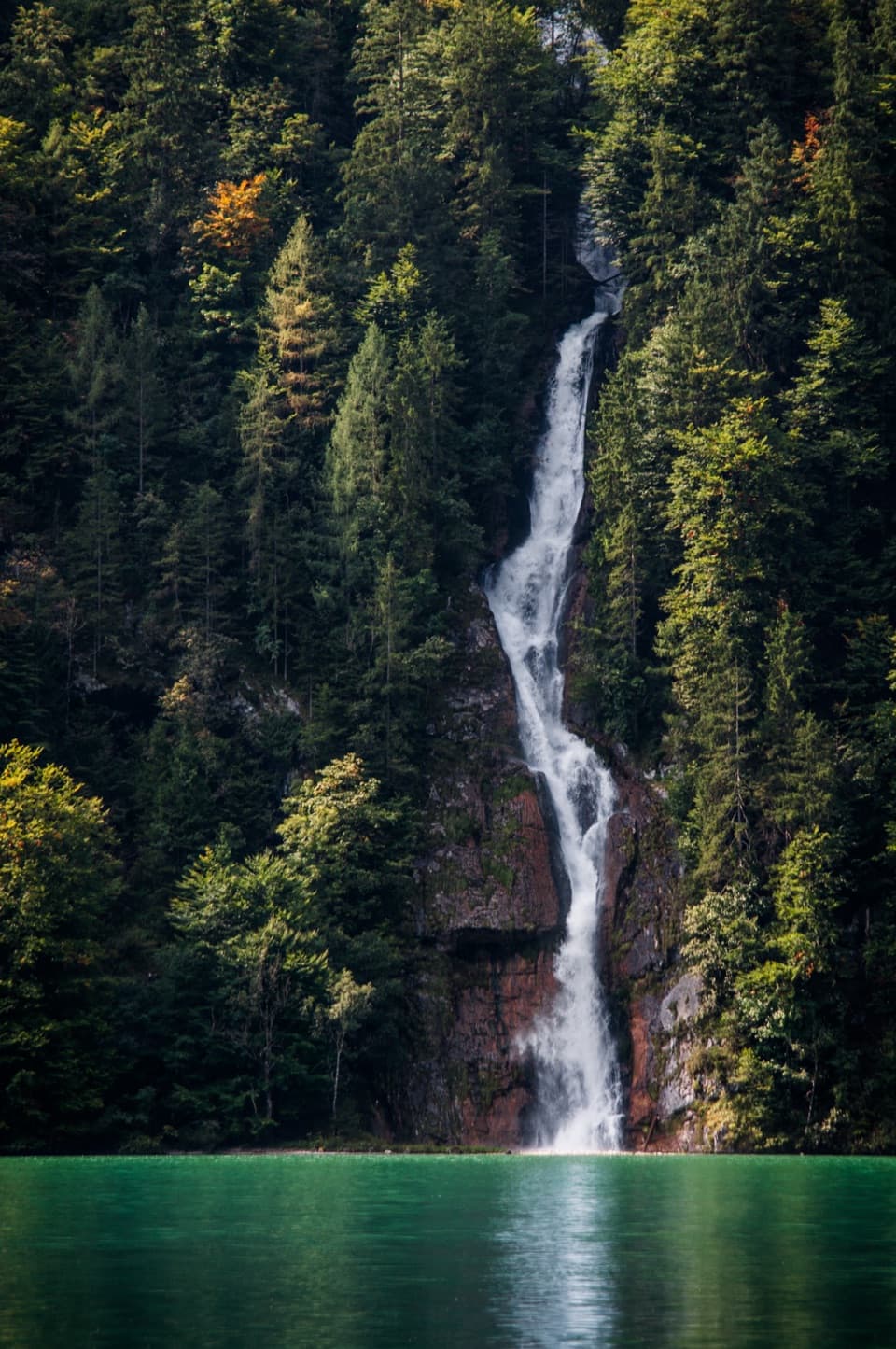 Sight · 1.6 km awaySchrainbach WaterfallA 30-minute walk from St. Bartholomä reaches the 80-meter falls.
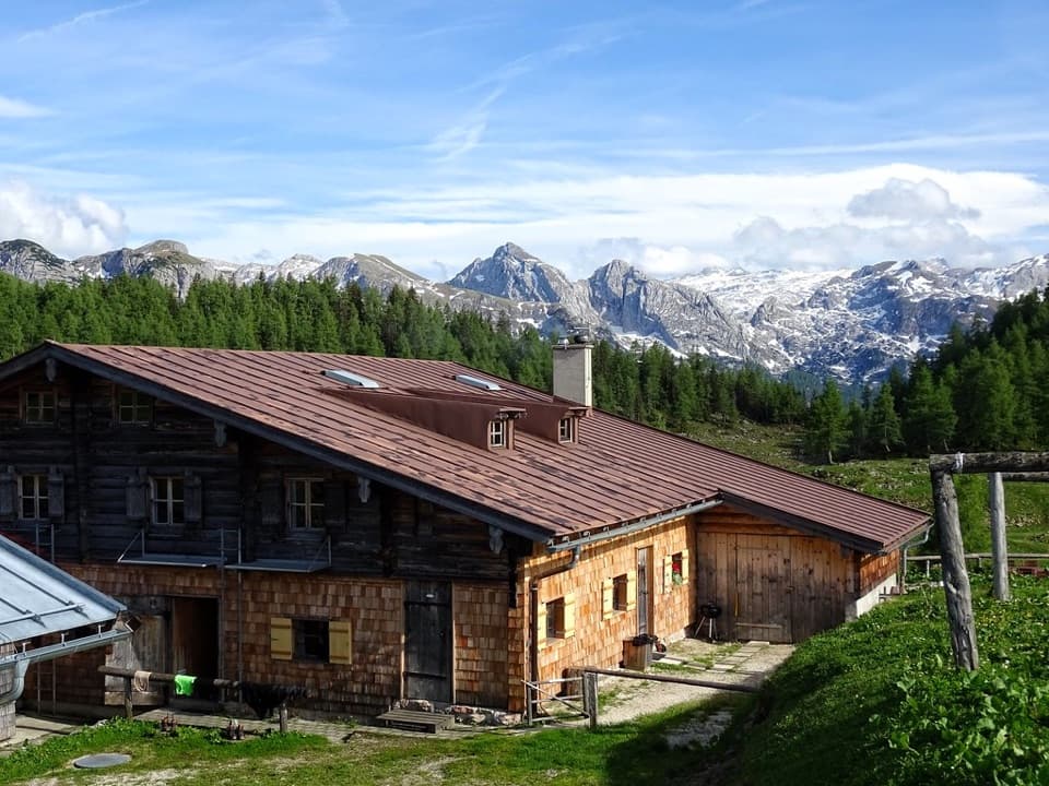 Lodging · 1.9 km awayGotzenalmA ten-minute walk leads to Königssee beneath the Watzmann's east face.
Parkwolf’s Berchtesgaden ranking
The audio tour guide for the drive, plus offline maps, trails, and wildlife heatmaps for when the signal drops.