
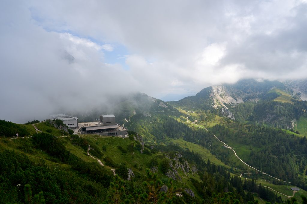
Place · 0 mi away
Moderate
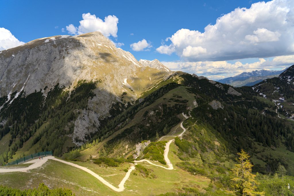
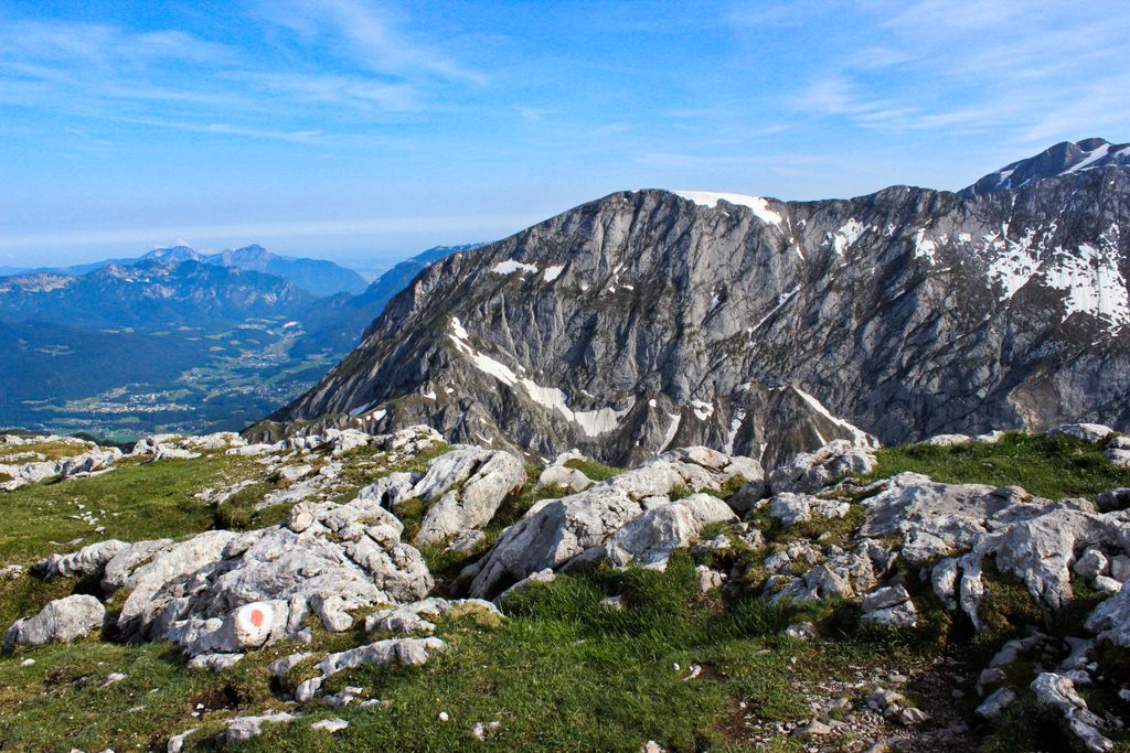
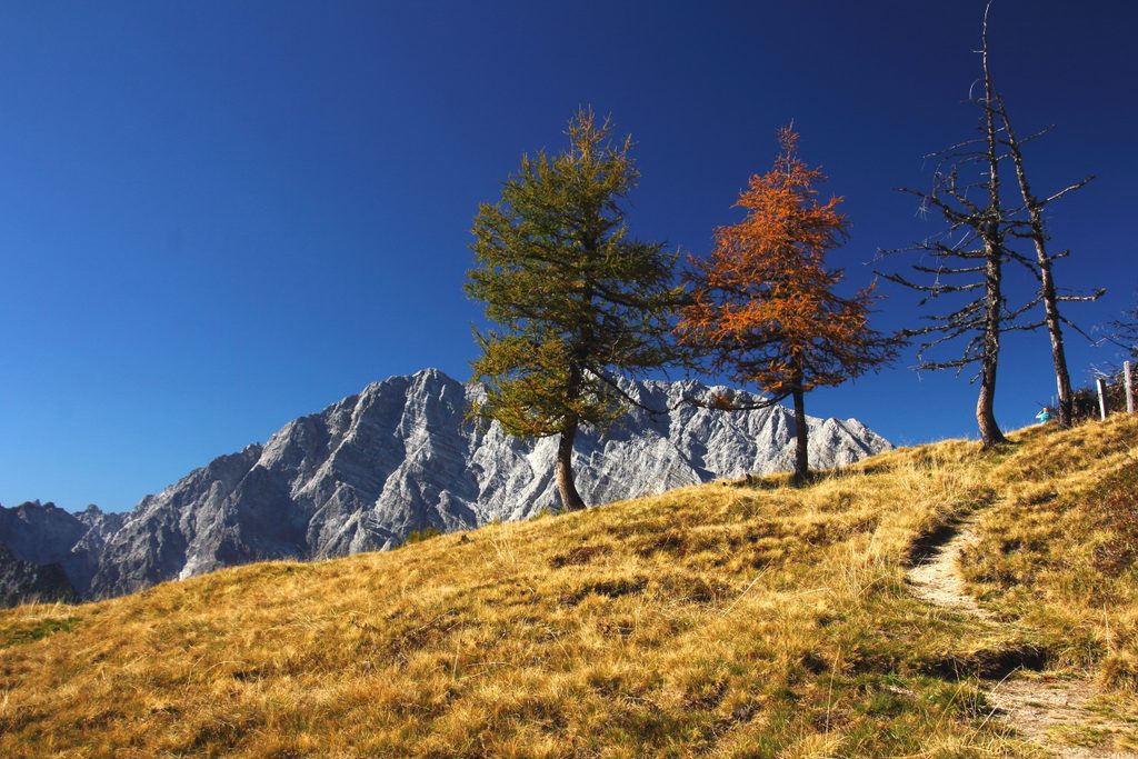
A fast, high‑reward alpine outing: ride the Jenner cable car to the mountain station and hike an exposed, rocky ridge to Hohes Brett (2,338 m). From the top station, it’s roughly 4.5 miles total (out and back) with about 2,600 ft of climbing, packing big scenery into a half‑day. Expect sweeping looks at the Watzmann’s east wall, Hochkalter, Königssee, and the Salzburg ranges.
From the mountain station, descend toward Torrener Joch/Carl‑von‑Stahl‑Haus, then branch left via the Pfaffenkegel onto steeper, stonier terrain. Two short rope‑secured steps and a loose upper slope lead to the broad summit plateau. Most hikers return the same way. Alternative start from Hinterbrand adds a serious workout (about 1,200 m gain) via Mitterkaseralm.
This is an alpine hike with sure‑footedness and a head for heights required. The final 150–200 vertical meters are rockier with brief exposure; poles help on the descent. In fog, navigation on the south flank can be tricky. Time-wise, plan roughly 4–5 hours round trip in summer conditions from the top station; the ascent itself is about 2.5 hours.
Typical season is late June through October when the route is mostly snow‑free and the cable car runs regular hours. Outside that window—like late November—expect snow/ice above ~1,700 m, short daylight, and potentially closed huts/lifts. Only go then with proper winter gear, experience, and a conservative turnaround time.
You’re walking classic Northern Limestone Alps. Summit slopes are largely Dachstein Limestone—banded, fractured limestone from the Late Triassic that once sat on the floor of the Tethys Ocean. Lower down, brittle Ramsau Dolomite weathers into fine gravel, a big reason trail sections can feel loose underfoot. Fossil traces from that ancient sea (including megalodont bivalves) are characteristic of these rocks.
Yes—especially if you’re short on time and want a real alpine feel without an all‑day grind. It’s heavily traveled in season, but the views and quick access make it a standout. If conditions are wintry or you dislike exposure, consider a lower objective instead.
For the classic version, park at the Jennerbahn valley station and ride the cable car to the mountain station. For the longer ascent on foot, use the paid Hinterbrand lot (seasonal bus service also runs to Hinterbrand).
Exposed, stony upper slopes with short rope‑secured sections; sure‑footedness required. In fog, route‑finding on the south flank is tricky. Outside June–October expect snow/ice and very short daylight; carry traction and turn back if conditions deteriorate.
Place · 0 mi away
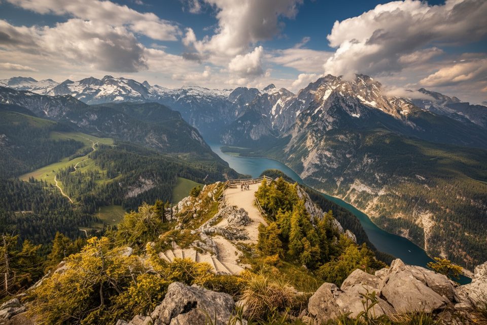
Place · 0.2 mi away
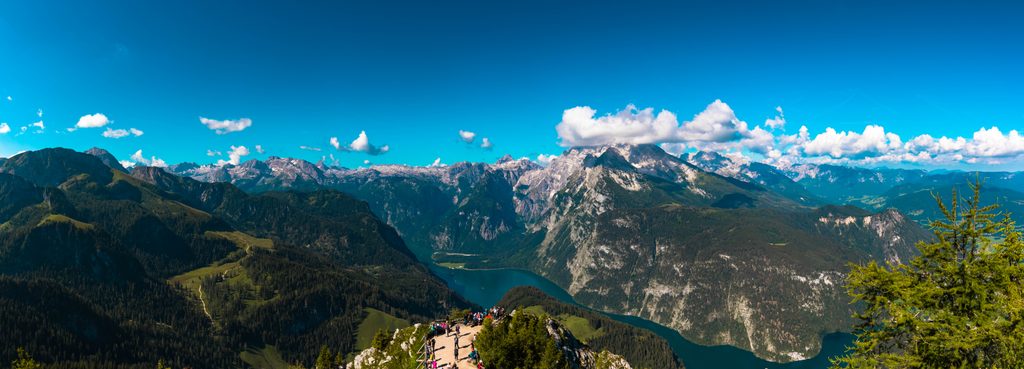
Place · 0.2 mi away
Place · 0.7 mi away
Easy · 0 mi away
Challenging · 1.3 mi away
Easy · 1.5 mi away
Challenging · 2 mi away

Parkwolf Tour Guide
