Parking
Use the large Königssee car park at Seelände, then walk through the visitor area to the boat landing stage, the route’s stated start.

#3 of 71 trails in Berchtesgaden
Berchtesgaden National Park, BY
A quick forest loop with Königssee and St. Bartholomä in view.
Overview
Map & elevation
Plan your hike

The highest, rockiest slopes around here are a summer buffet for grizzly bears.
Berchtesgaden Tour Guide
Parkwolf is a GPS audio tour guide for Berchtesgaden National Park. As you drive, it chimes in with what’s ahead: hidden gems, upcoming stops, history, geology, and wildlife, right through your car’s speakers.
Recorded for this trailhead
Königssee by Boat or on Foot“You're coming up on Königssee, where electric boats carry you between steep mountain walls beneath the Watzmann. I'd take the boat to St. Bartholomä for the red-domed church and a wander along the shore.”
Plays as you drive up to this trailhead in the Parkwolf Berchtesgaden Tour Guide.
More stories near here in the app
“Fantastic app with many points of information… It’s great to just turn on while you’re driving and it gives you an audio tour of the national Park. We love it!!!!”


Trail guide
Malerwinkel-Rundweg is an easy circuit at the north end of Königssee: start at the boat landing, turn left past the boathouses, reach the Malerwinkel lookout, climb through mixed mountain forest to the Jennerbahn valley station, and return to the same visitor area. The full loop is about 3.4 km (2.1 miles), including the short approach between the landing area and the mapped circuit. Allow 75 to 90 minutes. Choose it for one of the lake’s best land views without committing to a mountain day; the tradeoff is a climbing, mostly wooded return. The park rates the route easy, but it has about 120 m of ascent.
From the landing stage, turn left and follow the broad hiking path past the boathouses toward Malerwinkel. This opening is the gentlest, most direct part of the walk. Stay with the signed circuit as it leaves the lake and turns uphill; the circular route continues beyond the famous viewpoint instead of sending you straight back along the shore.
Malerwinkel sits on Königssee’s north shore, where the lake opens into a long view toward the pilgrimage church of St. Bartholomä. It is the walk’s clear payoff: the water runs between steep mountain walls, and the church gives your eye a point to follow toward the far end. Frame the length of the lake with St. Bartholomä across the water; a second view higher on the circuit shows the same valley from above.
After the lookout, the route climbs on an easy path through mixed mountain forest. Two broad bends lead to a second lake viewpoint, more than 100 m above Malerwinkel. The uphill section is short but noticeable, and the lake drops out of sight for stretches under the trees. From the higher viewpoint, the path descends toward the Jennerbahn valley station, then returns through the Königssee visitor area to the parking lot. If you want the whole circuit, keep going after the lower viewpoint; the wooded return is what makes this a loop rather than a simple shore walk.
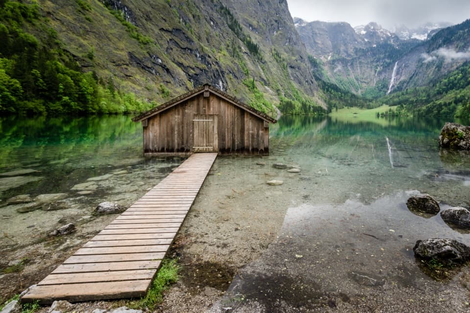
The boathouses serve the passenger boats that cross Königssee. Those boats have run on electric power since 1909, a piece of local history you can see from the route rather than a separate museum stop. The boat landing and Jennerbahn valley station are both near the loop, so they are easy to combine with a larger day here, but they are separate from the walking circuit itself.
If you are driving, use the large Königssee car park at Seelände and allow a few extra minutes to walk through the visitor area to the boat landing, the route’s stated start. Dogs may accompany you but must stay on a lead in the national park. “Easy” describes the hiking grade, not step-free access: the available route classification is limited for wheelchair use, so check current access details if that matters to your group. A separate lakeside spur beyond Malerwinkel is reported to be steep and slippery beside a rock face; it is outside this mapped loop, and its current access status is unconfirmed. Stay on the signed circuit unless you have checked that spur before setting out.
Wildlife
 15 sightingsBearded VultureMost seen around noonSighting map
 31 sightingsGolden EagleMost seen around noonSighting map
 22 sightingsRed DeerMost seen around 6 PMSighting map
 132 sightingsAlpine ChamoisMost seen around 5 PMSighting map
 65 sightingsAlpine SalamanderMost seen around 11 AMSighting map
 63 sightingsAlpine MarmotMost seen around 9 AMSighting map
Sighting maps show where each species has been reported across Berchtesgaden. Wildlife moves, so no sighting is guaranteed.
Keep exploring
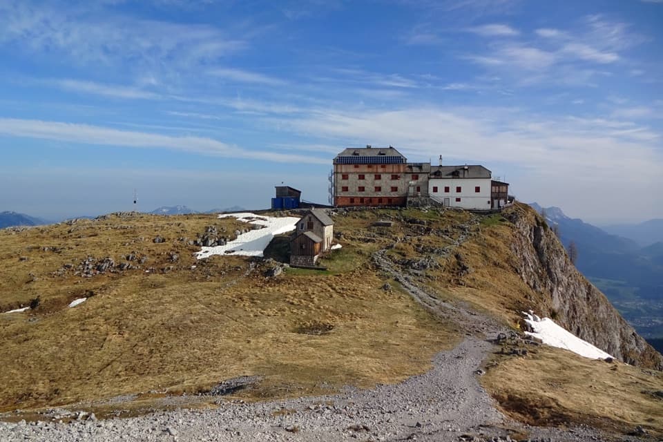
 ChallengingKönigssee – Steinernes Meer 3-Day Hike44.1 km · 16 hr · At the trailheadWaterfalls, hut nights, and a hard crossing of bare alpine limestone.
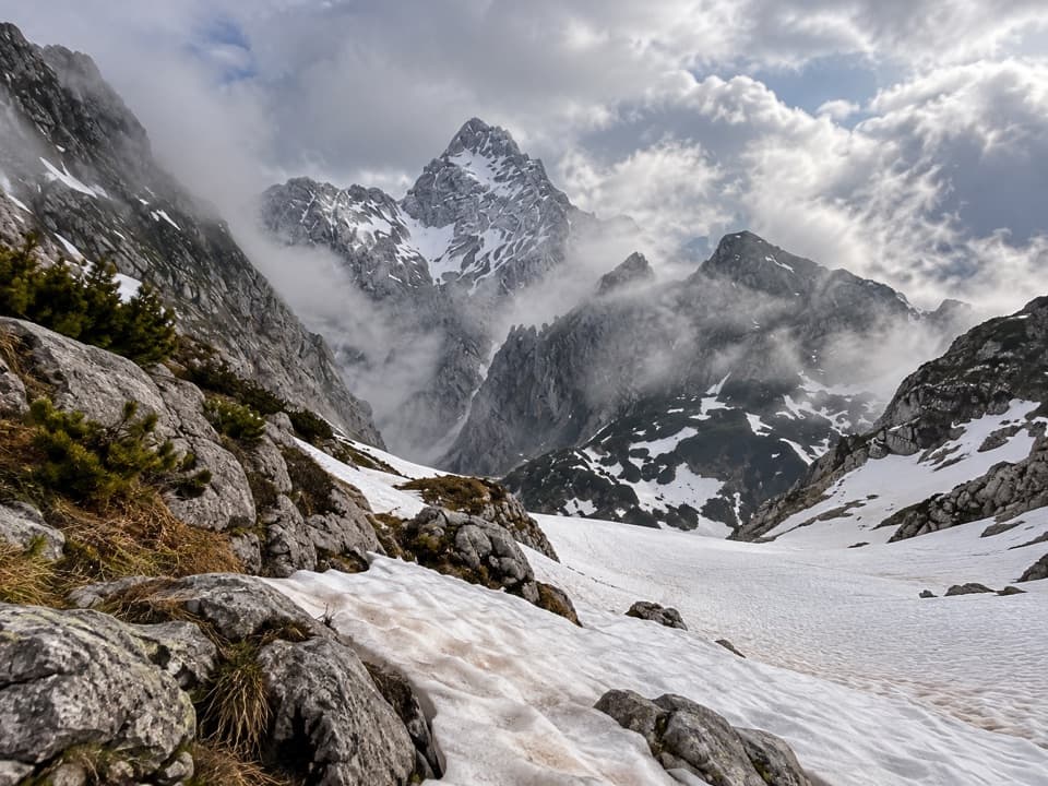
 ModerateRabenwand via Malerwinkel Loop4.3 km · 2 hr · 0.1 km awayA rocky spur lifts the Malerwinkel loop above Königssee.
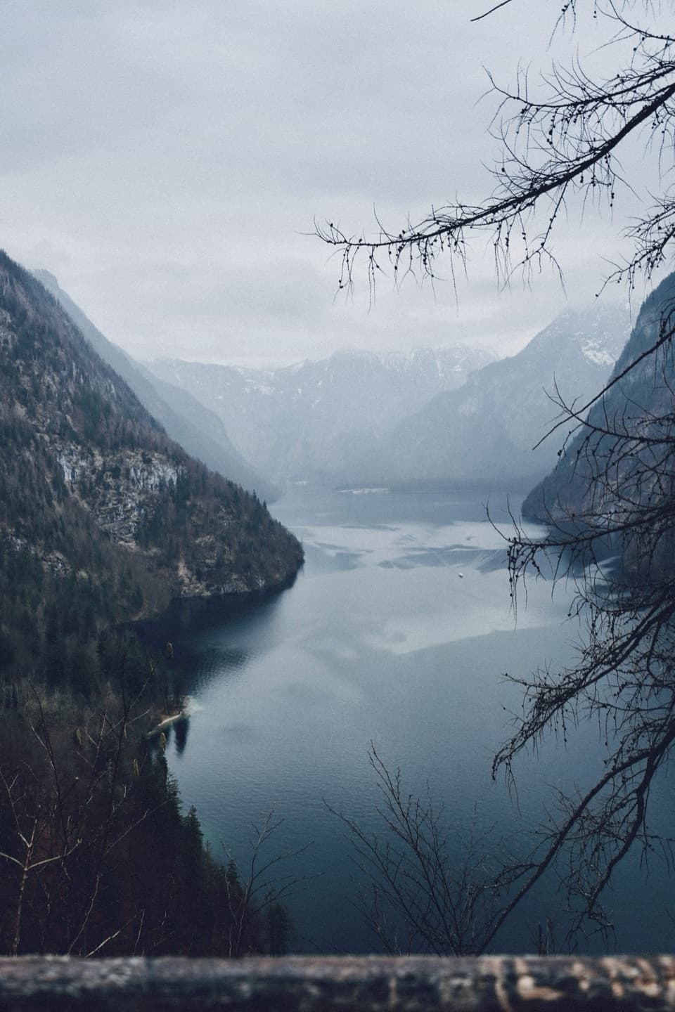
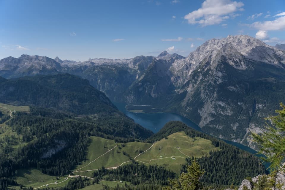 ChallengingJenner Summit via the Hochbahn10.7 km · 5.2 hr · 0.3 km awayA steep, storied climb from Königssee to the Jenner summit.
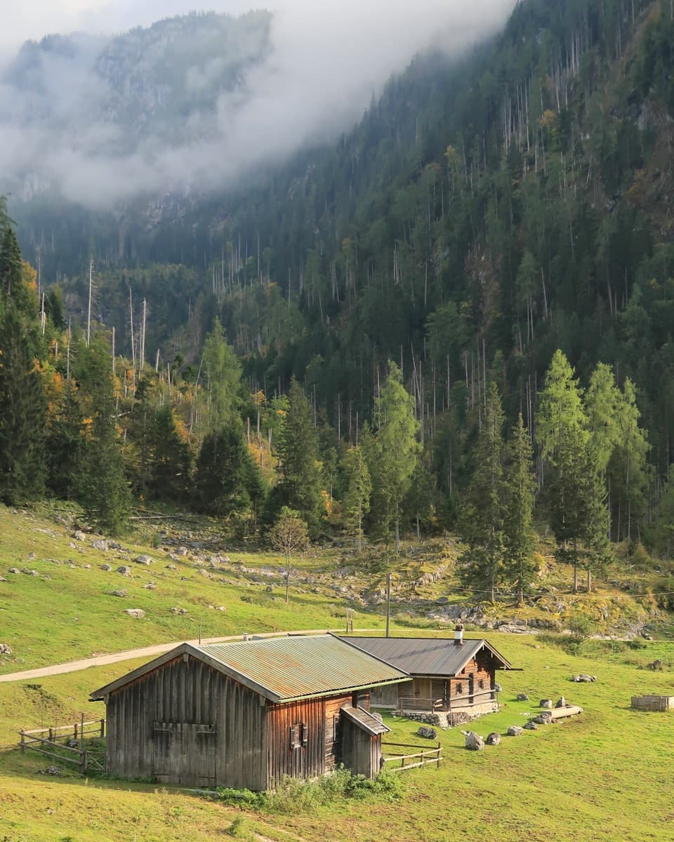 ChallengingKönigsbachalm – Gotzentalalm – Kessel10.8 km · 6 hr · 0.3 km awayTwo alpine pastures before a steep descent to Königssee.
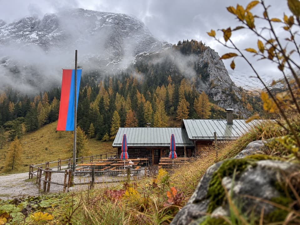 ModerateMitterkaseralm am Jenner9.3 km · 4 hr · 0.4 km awayA steep forest climb to a pasture inn below Jenner’s limestone ridge.
 ModerateKönigsbachalm via Hochbahn8.2 km · 3.8 hr · 0.4 km awayA steep forest climb ends at a mountain pasture above Königssee.
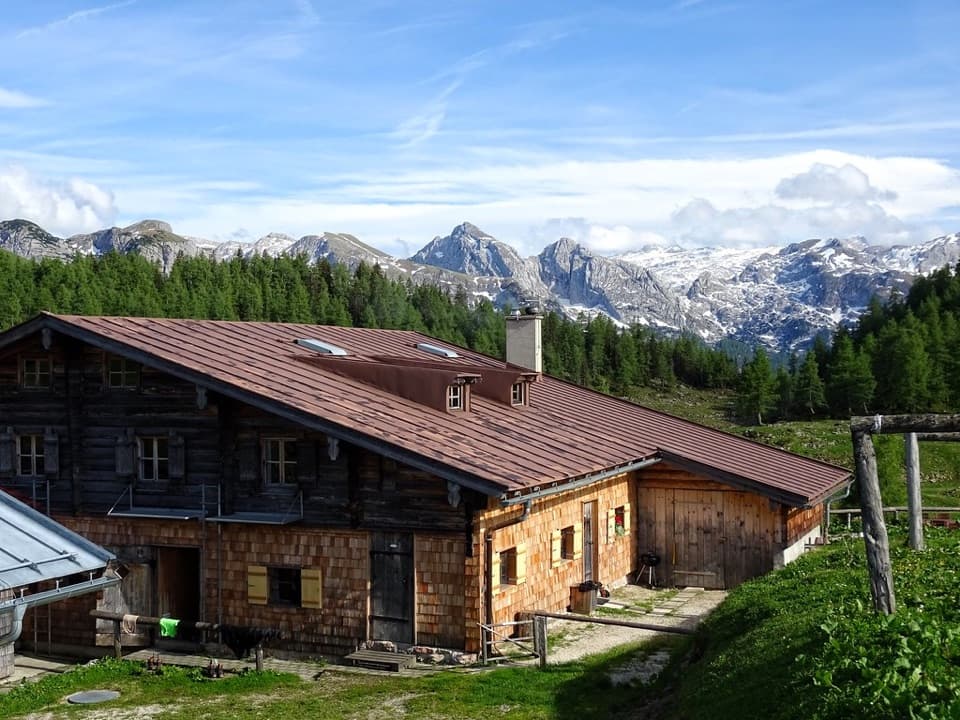 ChallengingGotzenalm via Hochbahn Trail22.8 km · 8.7 hr · 0.4 km awayA long climb pays off at the Königssee’s cliff-edge lookout.
 ChallengingGroße Sommer-Reibn56.6 km · 1 days · 0.5 km awaySix days of huts, lakes and exposed passes in limestone country.
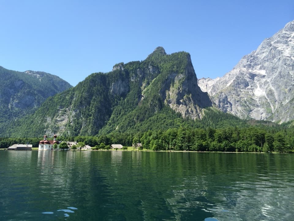 Sight · At the trailheadKönigsseeElectric boats cross deep green water beneath the Watzmann East Face.
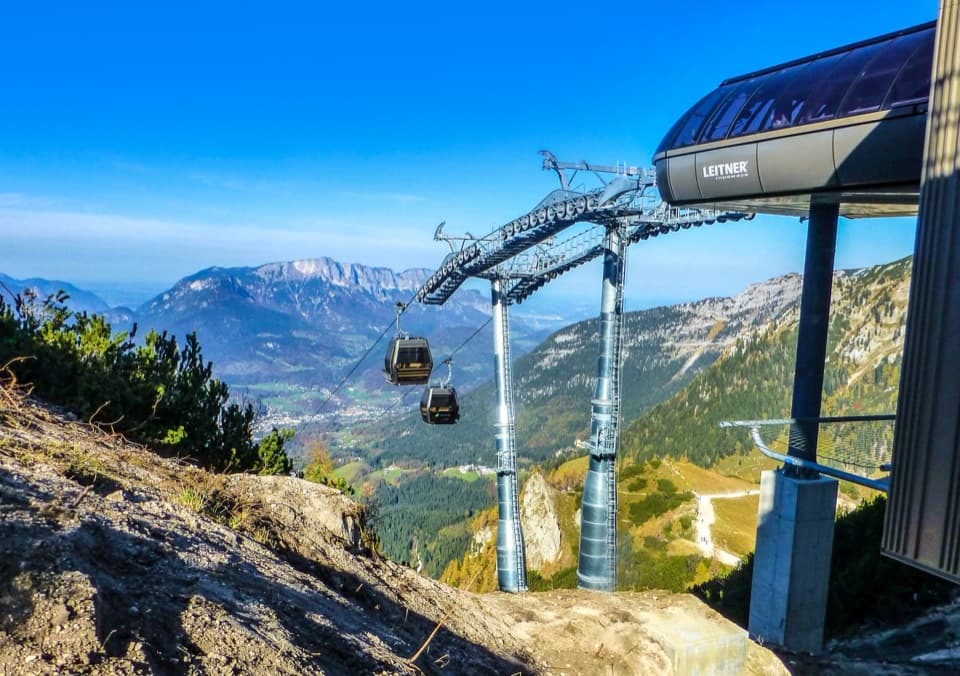 Sight · 0.5 km awayJennerbahnRide above Königssee, then see the park’s free rock-habitat exhibit.Sight · 0.7 km awayMalerwinkel ViewpointA short climb opens Königssee toward St. Bartholomä and Schönfeldspitze.
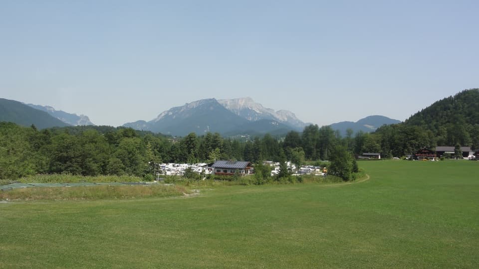 Campground · 0.8 km awayCamping GrafenlehenA walkable Königssee base with views of the Watzmann.
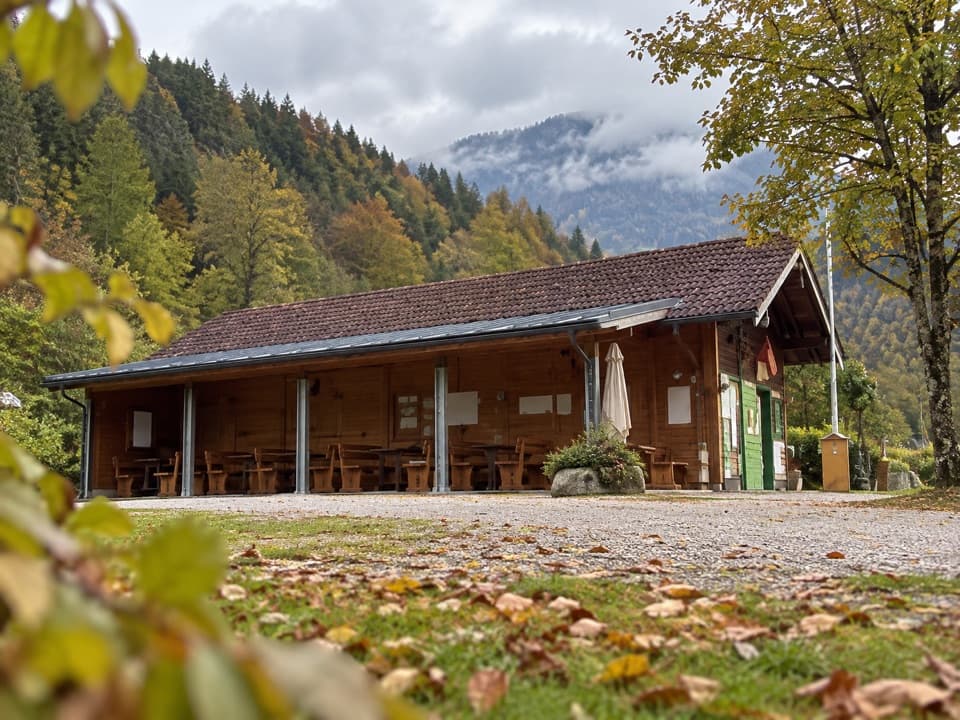 Campground · 1.3 km awayCamping MühlleitenA Königssee camping base with direct Watzmann views.
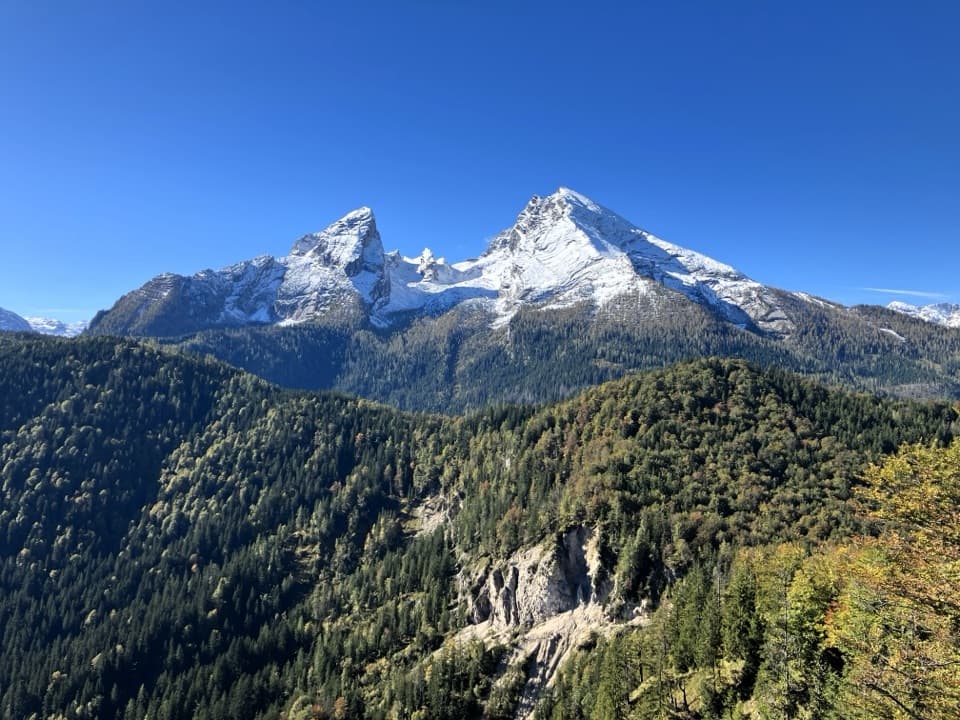 Sight · 1.9 km awayGrünstein Summit ViewpointA steep climb for Watzmann, Königssee and a hut stop below.
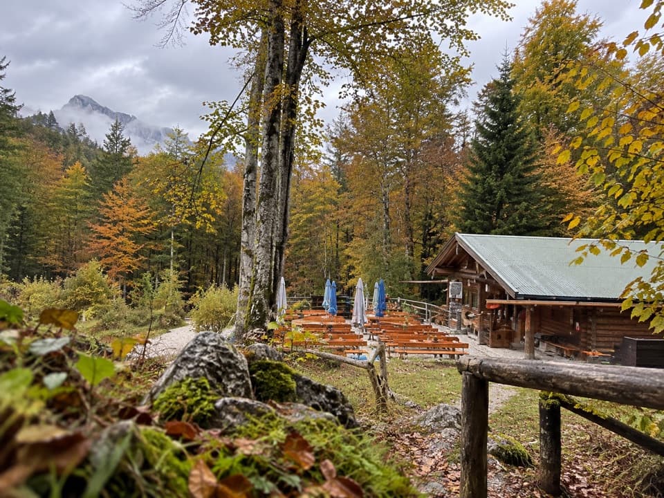 Restaurant · 2.1 km awayGrünsteinhütteA terrace stop for Kaiserschmarrn below Grünstein's summit.
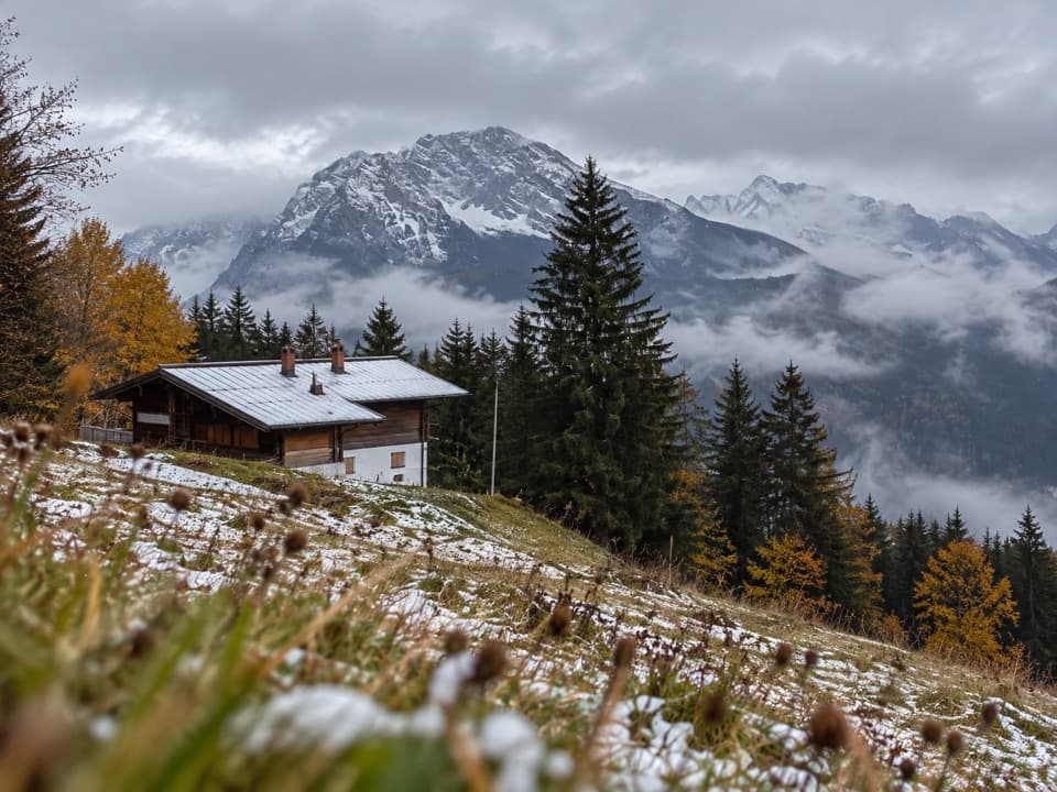 Restaurant · 2.1 km awayDr.-Hugo-Beck-HausWatzmann views reward the uphill walk to this Jenner hut.
Parkwolf’s Berchtesgaden ranking

The audio tour guide for the drive, plus offline maps, trails, and wildlife heatmaps for when the signal drops.