
Place · 0.7 mi away
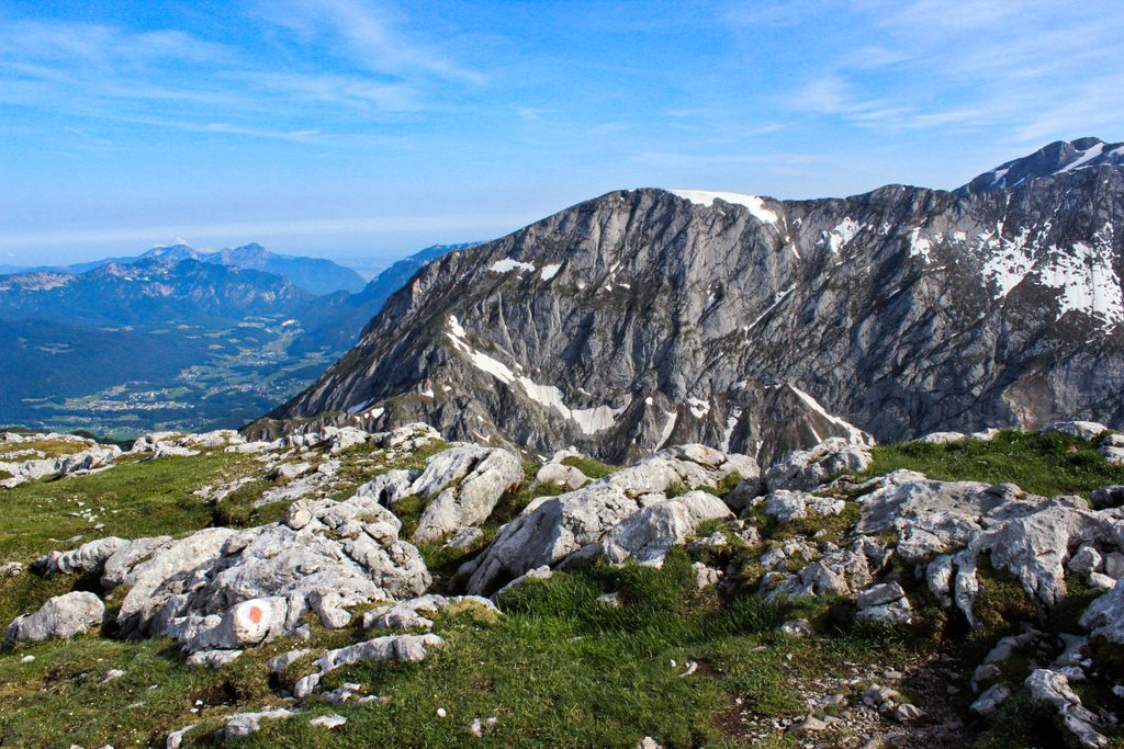
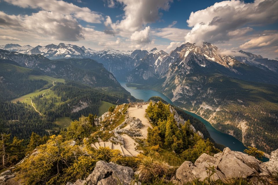
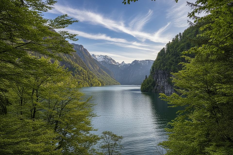
Hohes Brett (2,340 m) crowns the Göll massif between Schneibstein and Hoher Göll. It’s all about big alpine scenery: a broad, karst‑studded ridge and sweeping looks into the Königssee basin with the Watzmann group dominating the skyline.
Expect true alpine red trail character at times—narrow, steep sections with short passages of fall risk and occasional cable aids. Depending on your exact line, brief black‑level segments may appear. The limestone karst is wonderfully grippy when dry and treacherous when wet; sure‑footedness is essential.
Trail colors in the park: Yellow = easy paths; Blue = easy mountain trails; Red = steeper/narrow with some exposure; Black = steep/exposed with scrambling.
Prime hiking season is roughly June–October. Snow can linger on higher paths until late July, and summer thunderstorms are common—start early and watch the forecast. Shoulder seasons can bring steep snowfields; traction (e.g., microspikes) and poles help when snow persists. Mobile reception is patchy, so download offline maps in advance.
There’s no park entrance fee, but most car parks are pay‑and‑display. Don’t bank on toilets at Hinterbrand; plan to use facilities at managed alms/huts when open (e.g., Mitterkaseralm in summer, Carl‑von‑Stahl‑Haus). Water is unreliable on the karst—refill at huts or carry all you need. Dogs must be leashed; drones and wild camping are forbidden. Cash is handy at alms.
June through early October offers the smoothest conditions. Aim for early starts to beat afternoon storms and Jennerbahn crowds. Weekdays are quieter. If you’re linking in parts of the Kleine Reibn, budget extra time and energy—adding Hohes Brett makes a demanding day.
Bring sturdy boots, layers for rapid weather shifts, sun/storm protection, ample water and snacks, and offline topo maps. Turn back if storms build or visibility deteriorates; the ridge can be confusing in fog.
Place · 0.7 mi away
Place · 0.7 mi away
Place · 0.8 mi away
Place · 0.8 mi away
Easy · 0.7 mi away
Moderate · 0.7 mi away
Challenging · 1 mi away
Easy · 1.8 mi away

Parkwolf Tour Guide
