
Place · 1 mi away
Challenging
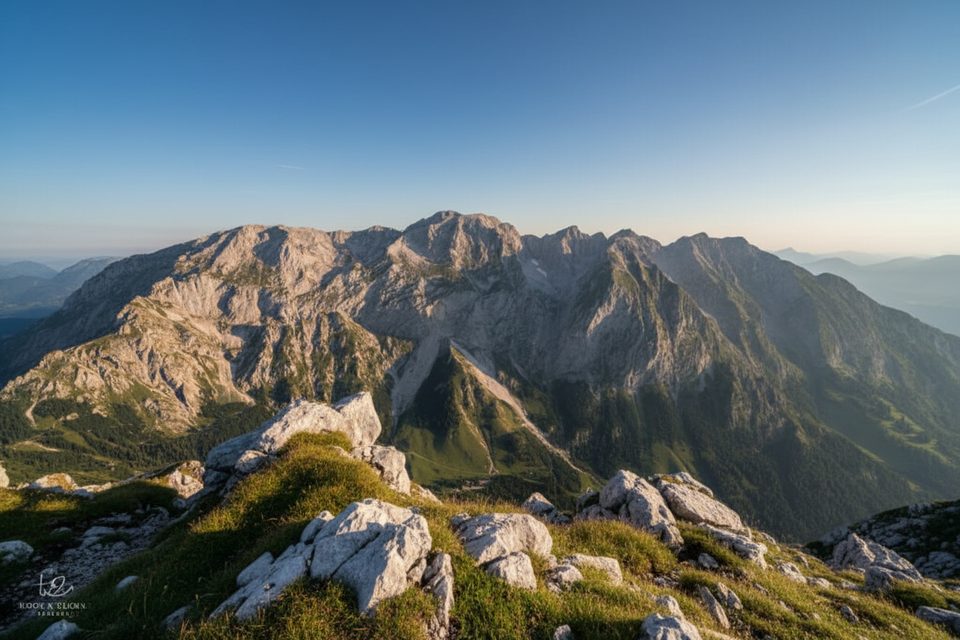
This is Berchtesgaden’s big, burly day loop on limestone high country. Most hikers tackle the shortened, gondola‑assisted variant: ride up to the Jenner mountain station, traverse the ridge to Schneibstein (2275 m), cool off at turquoise Seeleinsee, then drop through the rugged Stiergraben to Priesbergalm and the Jenner middle station. Total distance for this variant is about 16 km (roughly 9.9 miles), and it feels every bit like a full alpine day.
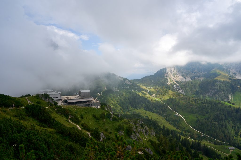
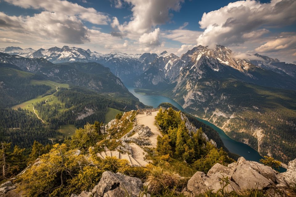
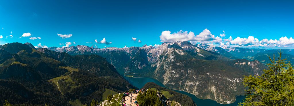
From the Jenner mountain station, an optional 30‑minute out‑and‑back to the Jenner summit viewpoint delivers sweeping looks over Lake Königssee and the Watzmann. The main route heads to Carl‑von‑Stahl Haus on the Torrener Joch, then climbs the broad karst shoulder to Schneibstein. The high route continues past Windscharte toward Seeleinsee, before a long, rocky descent through Stiergraben eases onto the meadows of Priesbergalm and a final gravel track to the Jenner middle station.
Label this “difficult” for sustained time on uneven, often polished karst, plus a stiff climb to Schneibstein and a tedious, rocky descent in Stiergraben. Expect occasional hand use for balance. Wayfinding is good—timber posts, cairns, and red‑white‑red markings—but attention still matters on the karst plateaus and shallow hollows. The high sections are sun‑exposed; bring ample water and sun protection.
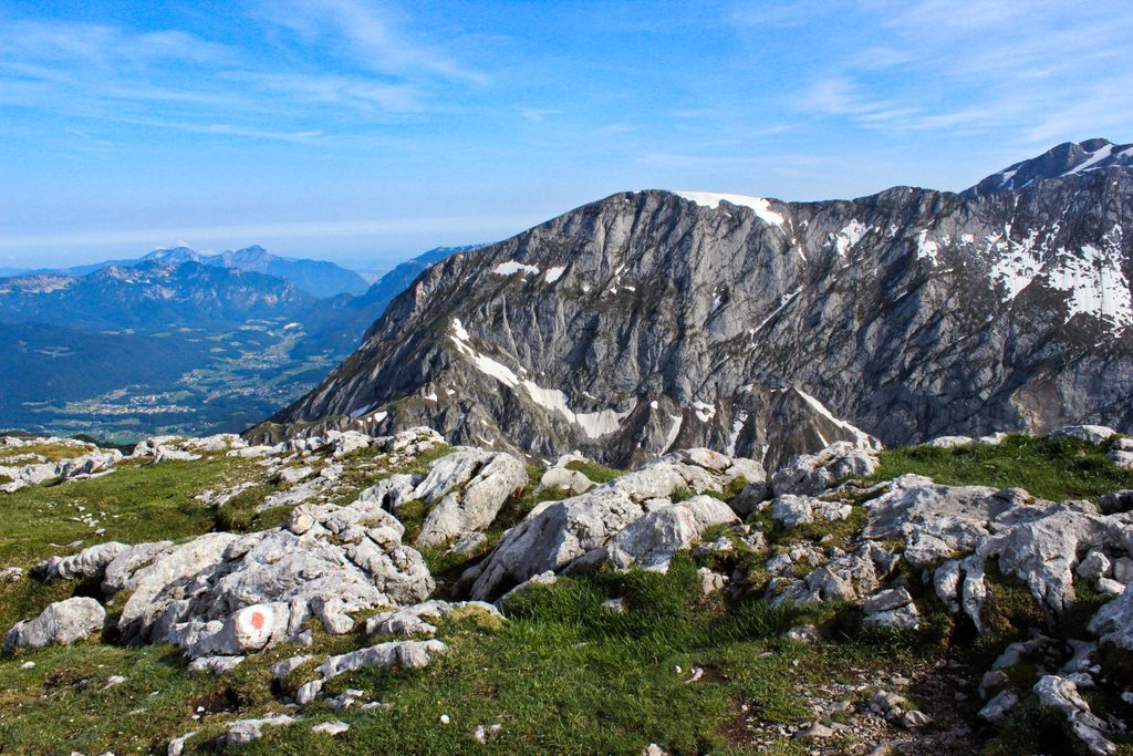
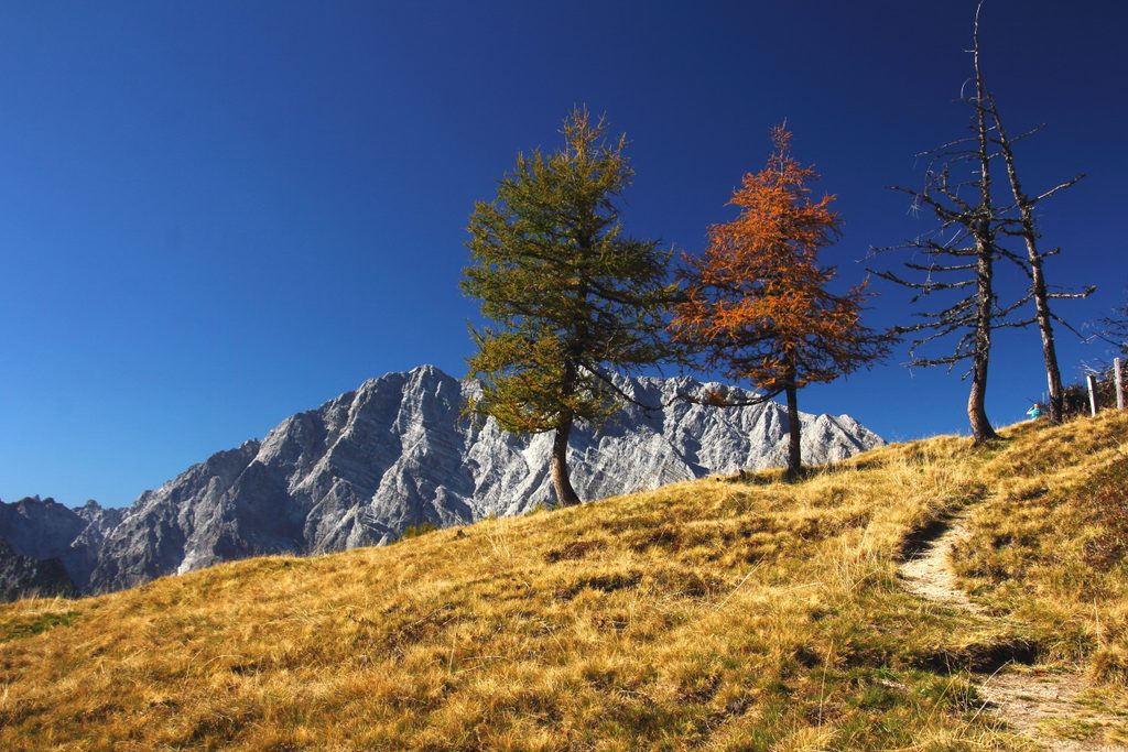
This loop strings together big‑view summits and classic alpine karst landscapes. Schneibstein’s summit plateau opens to the Bluntau Valley and the Göllstock massif, with constant cameos from Watzmann. Seeleinsee is the mid‑day treat—swimming is permitted in park lakes, and on warm days it’s the best reset you’ll find. The last stretch passes a historic Schnapsbrennhütte and reaches food and lifts at the middle station.
Most hikers start by riding the Jennerbahn to the mountain station and finish at the middle station to cut distance and elevation. Typical moving time is about 6:35–7:00 hours, with roughly +753 m / −1359 m of elevation on this variant. Gondola operations usually start later than your legs want; aim for the early “Bergsteigerfahrt” at around 08:30 when offered, and always confirm current hours and tickets before you go. There’s a large car park at the valley station and direct bus connections. If you prefer a bigger day, you can start and end at Hinterbrand Car Park instead. On‑route refreshments are possible at Schneibsteinhaus, Carl‑von‑Stahl Haus, and later near Priesbergalm and the middle station.
Start early for cooler temps and buffer for the long karst traverse. Clear days deliver the best ridge views and lake color at Seeleinsee. In early season, lingering snow on the karst can complicate footing and navigation—check conditions locally. The approach near the Jenner lifts can feel busy, and the final track joins a more trafficked path near the middle station; the high karst sections are notably quieter.
Park at the Jennerbahn valley station (large car park) for the gondola start, or at Hinterbrand Car Park for the classic longer loop. Both options are covered by regional bus service; guest card holders get transit discounts.
Extensive, uneven karst with slippery polished sections; occasional hand use needed. Stiergraben descent is rocky and slow. High exposure to sun on the plateaus—carry ample water. Early‑season snow can linger on karst; confirm gondola hours and conditions before committing.
Place · 1 mi away
Place · 1.3 mi away
Place · 1.4 mi away
Place · 1.4 mi away
Easy · 1.3 mi away
Moderate · 1.3 mi away
Easy · 1.6 mi away
Challenging · 1.6 mi away

Parkwolf Tour Guide
