
Place · 0 mi away
Challenging
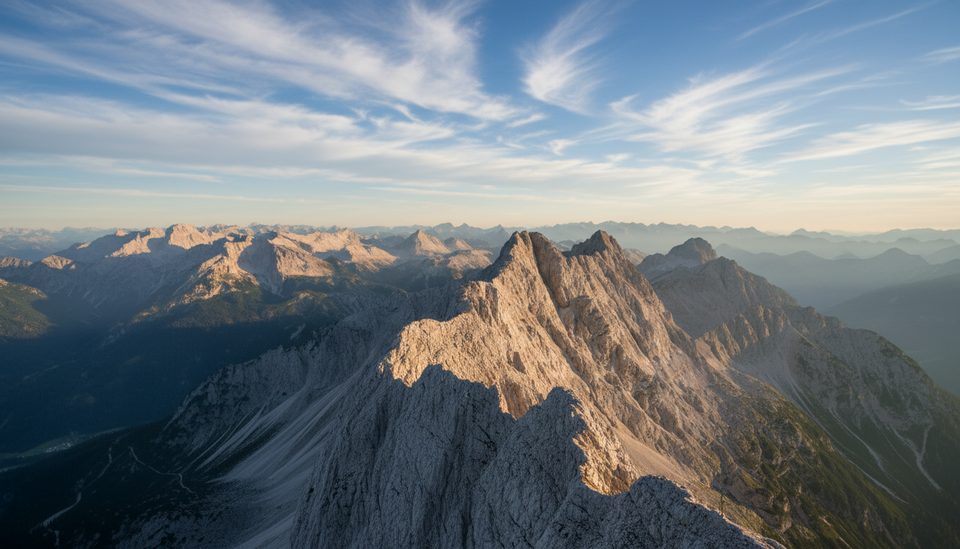
If you want the Berchtesgaden sufferfest with payoff to match, this is it. The Watzmann-Überschreitung links Hocheck, Mittelspitze (the high point), and Südspitze along a long, airy crest before dumping you into the Wimbachgries for a never‑ending exit. Expect roughly 14.2 miles total and about 7,000+ feet of gain—usually a 10–13 hour day for very fit, sure‑footed hikers.
Most folks stage from the Wimbachbrücke side: hike up to Watzmannhaus (some overnight here), tag Hocheck at dawn, commit to the exposed ridge over Mittelspitze and Südspitze, then descend the loose, tiring scree into the Wimbach valley and walk out the broad Wimbachgries to close the loop. Not ready for the full traverse? A popular, safer taste is Hocheck out‑and‑back from Watzmannhaus.
This is a “black” (difficult) outing with sustained exposure. You’ll scramble for hours (roughly UIAA I–II) with a mix of cable‑protected bits and plenty of unprotected, airy terrain where a slip would be serious. Helmets and solid alpine footwear are smart; gloves help on cables. Many parties carry a simple via ferrata set for confidence in early/late season when snow or ice lingers on shaded sections, but it isn’t a continuous ferrata. Water is scarce on the ridge—fill up at huts.
June through October in stable weather is the typical window. Start pre‑dawn to beat afternoon storms and crowds, and set a hard turnaround time. Early/late season can bring snow and verglas; conditions change fast. Avoid busy weekends and regional school holidays if you can, and consider a Sunday start for hut nights.
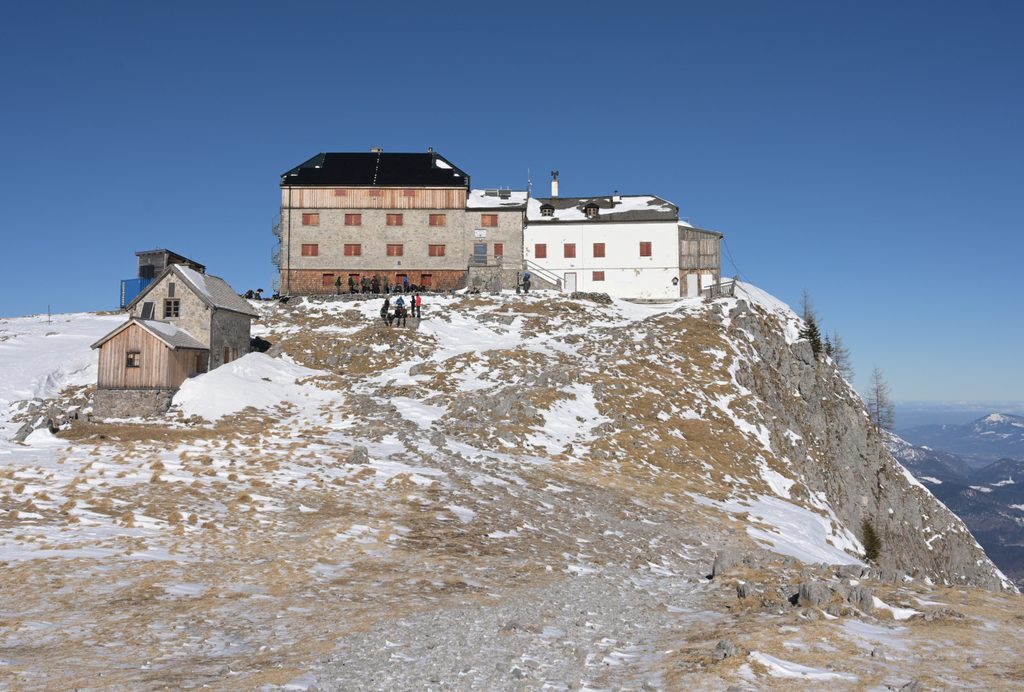
Wimbachbrücke parking (fee) is the usual start/finish. Watzmannhaus makes a great first‑night staging point so you can hit Hocheck at first light; Wimbachgrieshütte is a welcome stop on the long exit when open. Reserve huts ahead, bring a hut sleeping bag, and check opening dates before committing.
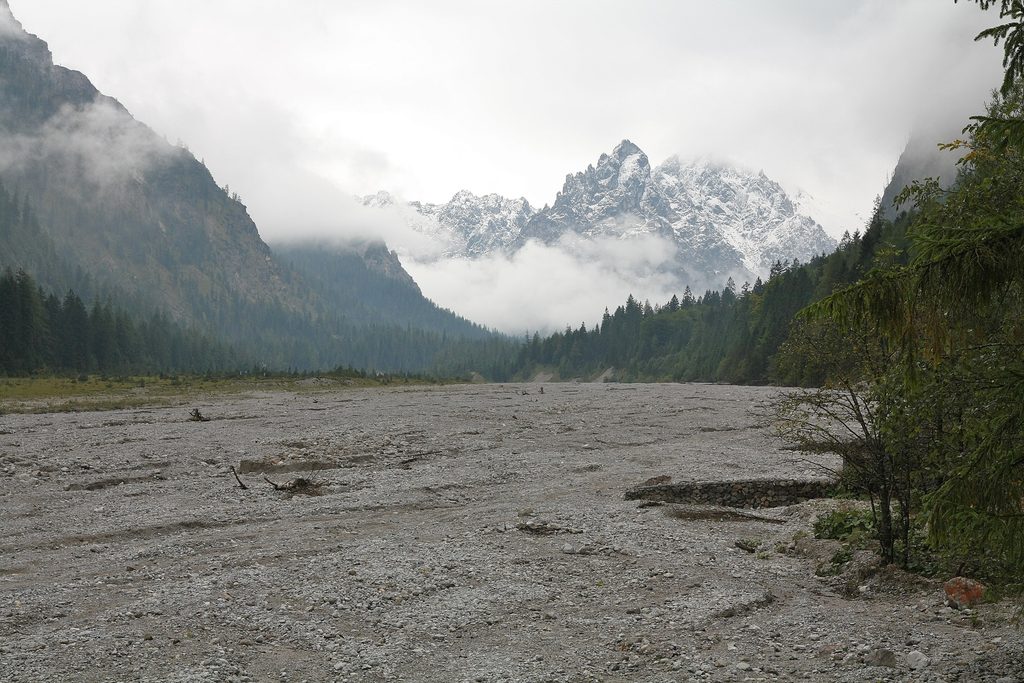
You’re moving through the Northern Limestone Alps—big walls and knife‑edges carved from hard Dachstein limestone, with brittle dolomite lower down that breaks into the rubble feeding the vast Wimbachgries. Keep an eye out for chamois on the ridges and marmots in quieter basins.
Stay on marked paths, pack out everything, and skip drones. No camping or bivouacking on the route. Dogs must be leashed in the park and this traverse is not suitable for them due to exposure and steel cables.
Stunning, serious, and longer than it looks. If you’re dialed on exposed scrambling and have the stamina, it’s a bucket‑list ridge. If not, the Hocheck out‑and‑back offers much of the view with far less commitment.
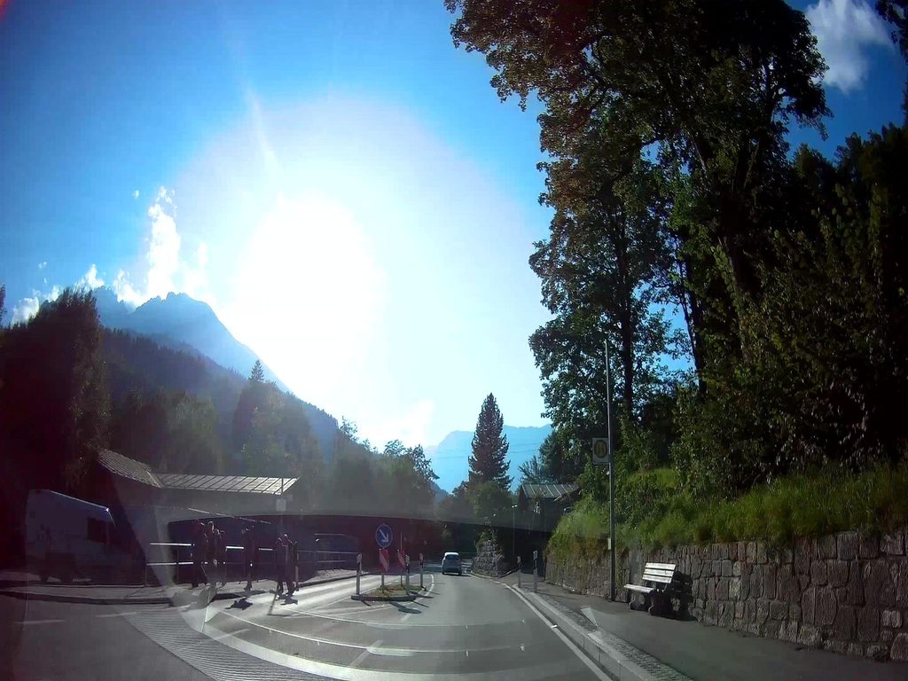
Wimbachbrücke parking area (fee); standard start and finish for the traverse.
High, continuous exposure with long unprotected scrambling; rockfall possible. Early/late season snow or ice can turn cables and ledges treacherous. Helmets recommended; many carry a light via ferrata set. Water is scarce on the ridge. Start very early, watch the forecast, and set a firm turnaround time. Stay on marked trails; no camping or drones; dogs must be leashed and this route is not suitable for them. In emergencies dial 112.
Place · 0 mi away
Place · 0.5 mi away
Place · 2 mi away
Place · 2.2 mi away
Challenging · 0 mi away
Challenging · 0 mi away
Easy · 0 mi away
Moderate · 0 mi away

Parkwolf Tour Guide
