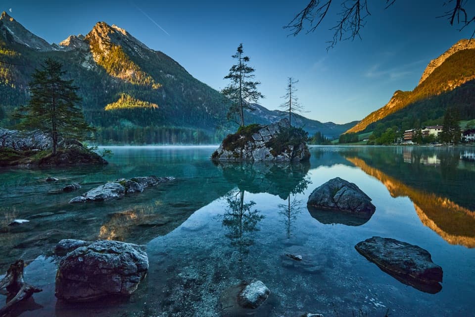
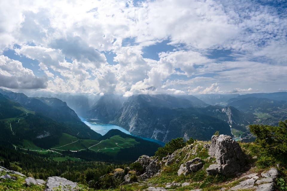
Wimbachklamm in Berchtesgaden National Park

#4 of 23 sights in Berchtesgaden

Sight · Berchtesgaden National Park

Wimbachklamm

A short, ticketed boardwalk beside waterfalls and mossy rock.

Photo: Wikimedia Commons
Type
Sight
Nearest trail
0.6 km
Audio stories
6 nearby
  • Parking
  • Restrooms
  • Store

Hear the audio tour

Wimbachbrücke and the Waterfall Gorge

Overview

About Wimbachklamm

Why stop

  • Waterfalls, moss and the walkway bring you close to the stream.

Heads up

  • The paid gorge section is brief, which can feel like a lot for a quick stop.

Map

Where it is

Loading the Berchtesgaden map
Full map
SightWimbachklamm47.59706, 12.92117
Keep this map with you offline in the Parkwolf app

Plan your stop

Before you go

2 active Berchtesgaden alerts

  • ClosureKlausbachtal trail closuresTwo Klausbachtal trail sections are closed; use the Hirschbichlstraße (St 2099) to bypass them. - Trail No.Official details
  • ClosureKönigsbach Waterfall Gumpen area closedThe wide area around the “Gumpen” pools at Königsbach Waterfall is closed to visitors to protect recovering vegetation.Official details
Berchtesgaden alerts
A park ranger sits on a dash-mounted phone, talking, as Parkwolf’s Tour Guide plays “Army Cutworm Moths: A Grizzly Bear Buffet” on Grand Loop Road below Dunraven Pass in Yellowstone
Parkwolf Tour GuideThe highest, rockiest slopes around here are a summer buffet for grizzly bears.

Berchtesgaden Tour Guide

Your drive to Wimbachklamm, narrated.

Parkwolf is a GPS audio tour guide for Berchtesgaden National Park. As you drive, it chimes in with what’s ahead: hidden gems, upcoming stops, history, geology, and wildlife, right through your car’s speakers.

Recorded for this place

Wimbachbrücke and the Waterfall Gorge
0:00 / 0:38
“Wimbachbrücke is coming up, the starting point for Wimbachklamm's waterfall gorge. Allow about an hour for the outing, including the uphill approach and return.”

Plays as you drive up to Wimbachklamm in the Parkwolf Berchtesgaden Tour Guide.

More stories near here in the app

  • Ramsau: A Full Day on Schattseitweg
  • A Marmot’s Winter Fuel
  • Hammerstiel: Grünstein and a Hut Meal
  • How Trees Hold the Snow
  • 25 audio storiesacross Berchtesgaden’s roads, triggered by GPS as you drive
  • Wildlife heatmapsfor Bearded Vulture, Golden Eagle, Red Deer, and 13 more
  • Works offlinemaps, 71 trails, 57 places, and audio download before you lose signal
  • CarPlay readysimple controls built for the drive
★★★★★
“Fantastic app with many points of information… It’s great to just turn on while you’re driving and it gives you an audio tour of the national Park. We love it!!!!”
JMJamesApp Store review
Download Parkwolf on the App StoreGet Parkwolf on Google Play

4.7 from 8,600+ ratings

Guide

More about Wimbachklamm

A short gorge stopWimbachklamm is a narrow, ticketed gorge at the entrance to the Wimbach valley in Ramsau,…

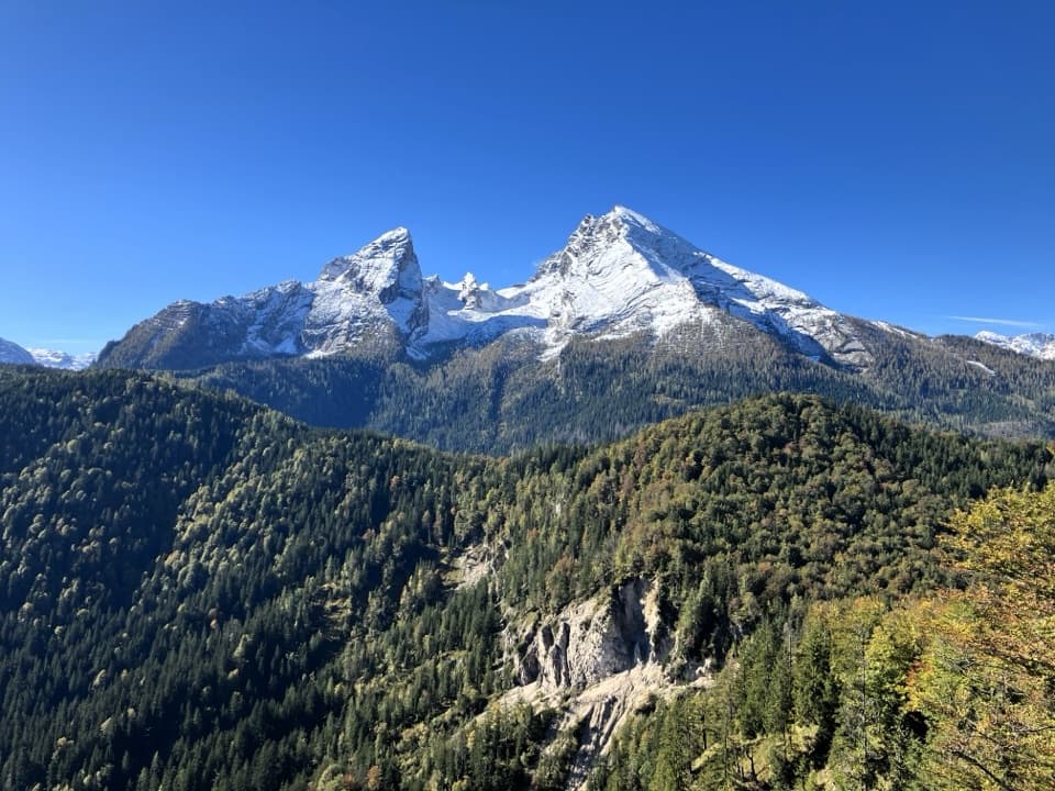
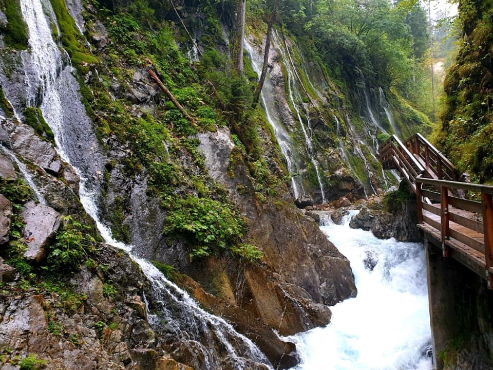
Wimbachklamm is a narrow, ticketed gorge at the entrance to the Wimbach valley in Ramsau, between the Watzmann and Hochkalter ranges. Its roughly 200-metre passage follows the stream along steep rock faces on bridges and raised walkways, past waterfalls, rivulets and green moss. Come for a close-up encounter with moving water, not a long hike: many visitors love the setting, while others feel the short gorge section is poor value once admission and parking are counted. Continue farther up the Wimbach valley if you want a longer outing.

Make the entry workPark at Wimbachbrücke or take bus 846 to the Wimbachbrücke stop.

Park at Wimbachbrücke or take bus 846 to the Wimbachbrücke stop. From there, allow about 20 minutes uphill on foot to the gorge. Get your ticket at the machine by Wimbachs Wollstadl, about 300 metres before the entrance. The gorge is one-way; use the higher bypass on your return rather than expecting to walk back through the same passage. It is a seasonal visit, generally May through October, and weather can affect access, so check the status before setting out. Public toilets are reported by the bridge parking area, before the climb.

What the walk feels likeThe gorge route is only about 200 metres, with bridges and raised walkways tucked against the…

The gorge route is only about 200 metres, with bridges and raised walkways tucked against the steep walls. Water spills through a sequence of falls and pools, with small rivulets feeding mossy ledges; the spray can feel cooling on a warm day. The passage is narrow and stepped, and the wet surfaces can be slippery. It is not wheelchair-accessible. Visitor reports differ on how busy it feels; arriving early or later may mean a quieter walk.

A geology lesson in the rockThe Wimbach cut this cleft between the Watzmann and Hochkalter ranges.

The Wimbach cut this cleft between the Watzmann and Hochkalter ranges. Rocks exposed here formed on an ancient seabed, and the gorge lets you see erosion still at work. Look across the wet ledges as you move through; water is shaping the same rock that preserves a much older landscape.

Where the Wimbach goesFarther up the valley, loose gravel covers the Wimbachgries and the stream flows underground.

Farther up the valley, loose gravel covers the Wimbachgries and the stream flows underground. At the gorge, water runs at the surface and drops through waterfalls. The short walk makes a useful contrast between a stream hidden under debris upstream and the forceful torrent visitors see at the valley entrance.

From timber route to visitor walkThe gorge opened to visitors in 1987.

The gorge opened to visitors in 1987. Before that, only a few lumberjacks ventured inside to bring timber to a storage area. Today, bridges and raised paths carry visitors through the same tight rock corridor beside the water.

A small farm shop at the approachWimbachs Wollstadl stands near the ticket machine.

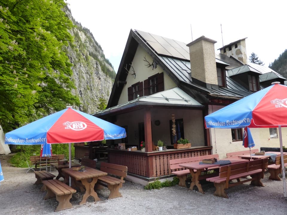
Wimbachs Wollstadl stands near the ticket machine. This seasonal farm shop sells Alpine Stone Sheep lamb, including sausage and salami, as well as wool and felt goods. It is a place to buy local products, not a prepared-food stop.

Photograph the water up closeUse the bridges for a close view along the stream, with a waterfall and moss-covered rock in…

Use the bridges for a close view along the stream, with a waterfall and moss-covered rock in the frame. This is a detail-rich, enclosed gorge rather than a wide panorama. After rain, the water may run more strongly, but the conditions vary.

Wildlife

Wildlife in Berchtesgaden

All Berchtesgaden wildlife maps

Sighting maps show where each species has been reported across Berchtesgaden. Wildlife moves, so no sighting is guaranteed.

Keep exploring

Near Wimbachklamm

See it all on the map

Trails nearby

More stops nearby

Parkwolf’s Berchtesgaden ranking

Top sights in Berchtesgaden

All 57 places
  1. 1KönigsseeSight
  2. 2St. Bartholomä Pilgrimage ChurchSight
  3. 3OberseeSight
  4. 5Haus der BergeSight
  5. 6HinterseeSight
  6. 7Königsblick (Jenner Summit Viewpoint)Sight

Take Parkwolf to Berchtesgaden.

The audio tour guide for the drive, plus offline maps, trails, and wildlife heatmaps for when the signal drops.

4.7 from 8,600+ ratings

Download Parkwolf on the App StoreGet Parkwolf on Google Play