Parking
Start at the Wimbachbrücke car park in Ramsau. It is a large parking area, but current fees and availability were not confirmed.
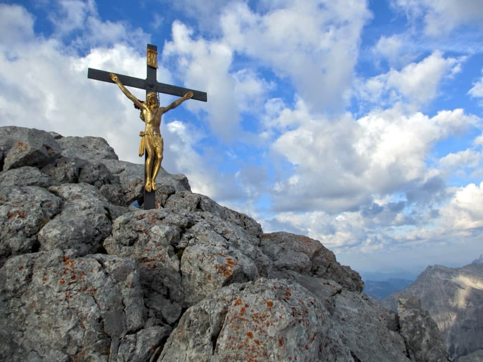
Berchtesgaden National Park, BY
A full-day alpine climb to Hocheck, with a cable-secured rock step.
Overview
Map & elevation
Plan your hike

The highest, rockiest slopes around here are a summer buffet for grizzly bears.
Berchtesgaden Tour Guide
Parkwolf is a GPS audio tour guide for Berchtesgaden National Park. As you drive, it chimes in with what’s ahead: hidden gems, upcoming stops, history, geology, and wildlife, right through your car’s speakers.
Recorded for this area
Wimbachbrücke and the Waterfall Gorge“Wimbachbrücke is coming up, the starting point for Wimbachklamm's waterfall gorge. Allow about an hour for the outing, including the uphill approach and return.”
Plays on the road 0.1 km from the trailhead in the Parkwolf Berchtesgaden Tour Guide.
More stories near here in the app
“Fantastic app with many points of information… It’s great to just turn on while you’re driving and it gives you an audio tour of the national Park. We love it!!!!”


Trail guide
Watzmann Hocheck via Watzmannhaus is an 11.2-mile (18 km) out-and-back from Wimbachbrücke to the Watzmann’s north summit, with about 1,955 m (6,414 ft) of climbing. The route rises through Stubenalm and Mitterkaseralm, crosses open Falzalm to Watzmannhaus, then climbs rocky high-alpine ground to Hocheck and returns the same way. Allow about 13 hours. This is a hard, all-day mountain hike for people with strong fitness and high-alpine experience, not a casual add-on. The two summit crosses and the wide mountain panorama make a fitting payoff. Turn around at Hocheck; the narrow ridge beyond is a separate, much more exposed traverse.
Start at the Wimbachbrücke car park. The marked path climbs through forest switchbacks to Stubenalm, then a broader track reaches Mitterkaseralm. Beyond the pasture, the route narrows as the trees thin. It crosses open Falzalm before the final rocky approach to Watzmannhaus, with steps cut into rock and secured sections near the hut. You gain height for miles before reaching the place most people will recognize as the natural midpoint.
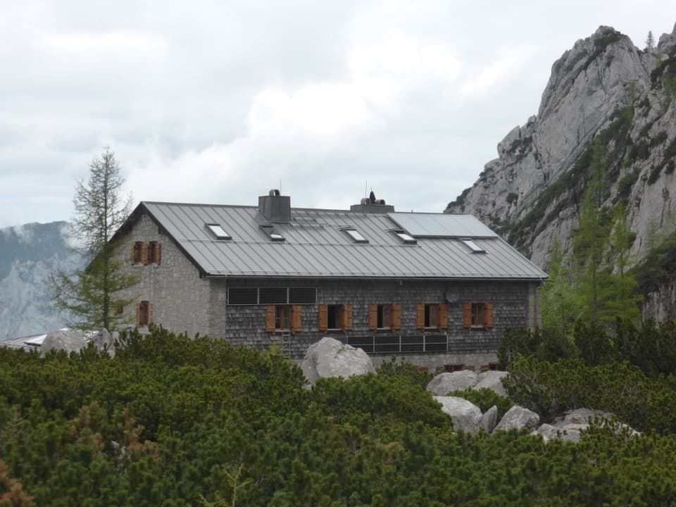
Watzmannhaus sits at 1,930 m on Falzköpfl. Built in 1888, it’s a staffed mountain hut with food and beds when it’s open, usually from mid or late May into early or mid October, depending on weather. Staying there can split the outing into two days; check its current service dates before counting on a meal or bed. The locked shelter at Hocheck is a mountain-rescue base, not somewhere to sleep.
From the hut, the route climbs southwest before zigzagging over rocky ground and scree. The steep step called Hochstieg is protected by fixed wire ropes. Above it, the path stays west of the ridge and climbs to smooth rock and the two crosses at Hocheck. The hut-to-summit leg is about 2.2 km and 736 m uphill, usually two to three hours one way; it will feel steeper with the valley climb already behind you. Frame the crosses with the ridge beginning beyond them. It’s a good way to show both the view and the point where this hike ends.
This route calls for very good fitness, mountain experience, sure footing and appropriate alpine equipment. The rocky, exposed upper mountain is a different commitment from the forest approach, and fixed cables protect one steep section. Snow can linger or appear after a weather change even in summer. If storms or bad weather threaten, turn back rather than continuing toward the exposed ridge. Dogs must be on a lead in the national park, but the long climb, cables and exposure make this a poor choice for most dogs.
The Watzmann’s summit rock is Dachstein limestone above brittle Ramsau dolomite. The dolomite breaks down into grus that feeds the deep debris flow in Wimbachgries below. Local legend tells of a cruel king, a queen and seven children turned to stone; only five children are recognizable as separate peaks today. That story fits the jagged massif you see from Hocheck, but the sharp ridge beyond the crosses is where this out-and-back stops.
Wildlife
 15 sightingsBearded VultureMost seen around noonSighting map
 31 sightingsGolden EagleMost seen around noonSighting map
 22 sightingsRed DeerMost seen around 6 PMSighting map
 132 sightingsAlpine ChamoisMost seen around 5 PMSighting map
 65 sightingsAlpine SalamanderMost seen around 11 AMSighting map
 63 sightingsAlpine MarmotMost seen around 9 AMSighting map
Sighting maps show where each species has been reported across Berchtesgaden. Wildlife moves, so no sighting is guaranteed.
Keep exploring
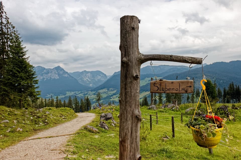 ModerateStubenalm6 km · 4 hr · At the trailheadA forest climb to a working alpine pasture above Ramsau.
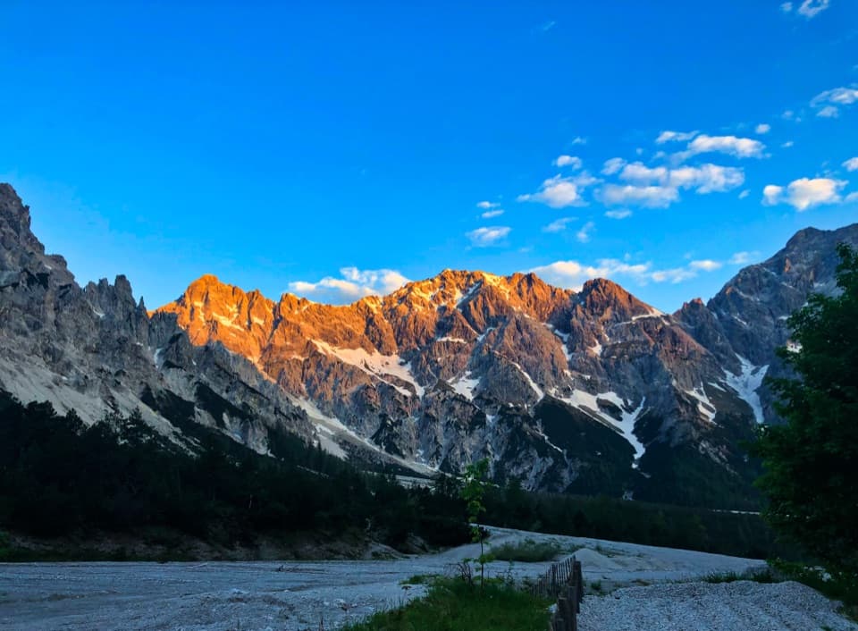 ModerateWimbachgrieshütte Trail17 km · 5.5 hr · At the trailheadFollow the dolomite scree to a high alpine hut
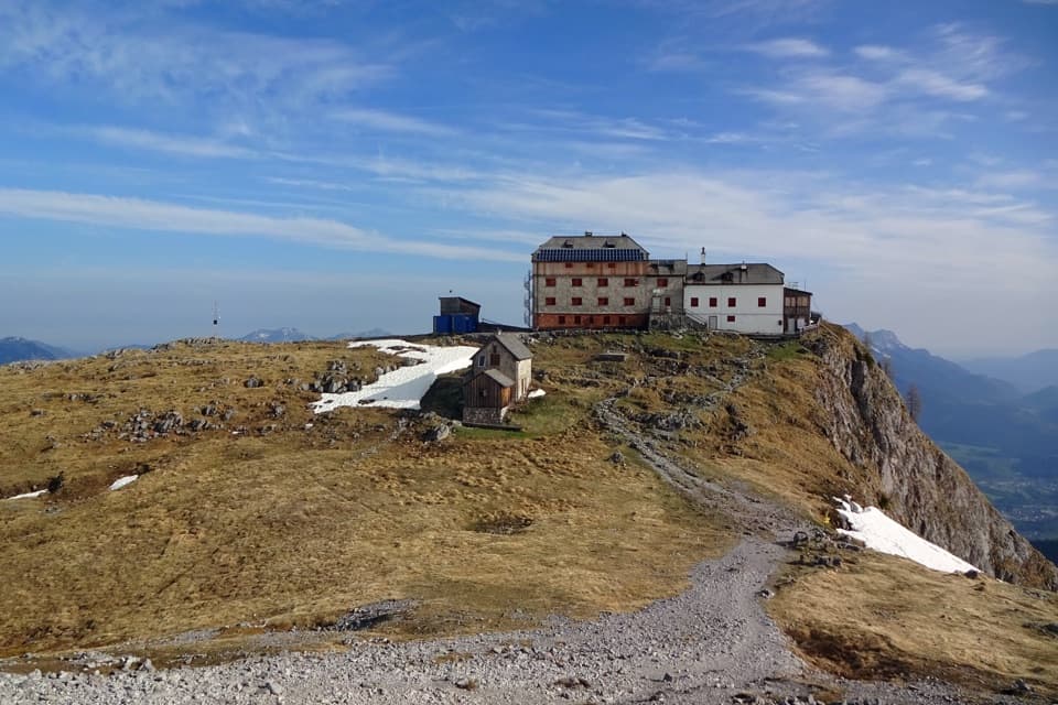 ChallengingWatzmannhaus from Wimbachbrücke13.9 km · 8 hr · At the trailheadA steep 1,270-meter climb to the hut beneath the Watzmann.
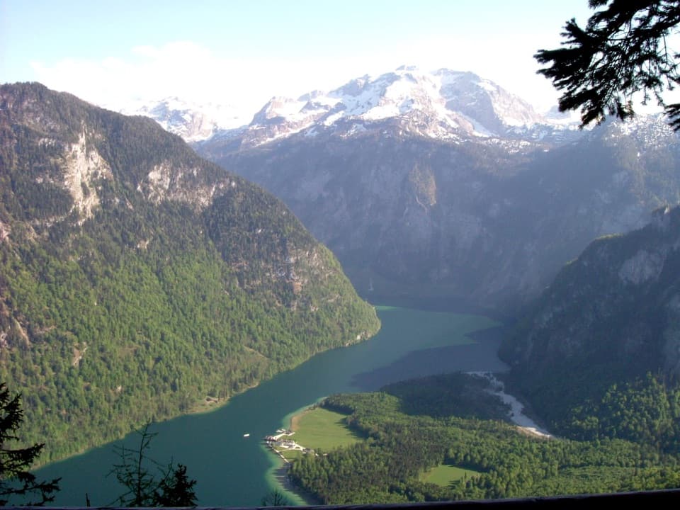 ChallengingKühroint – Archenkanzel Trail15.3 km · 5.5 hr · At the trailheadA steep climb to Kühroint and a huge Königssee view.
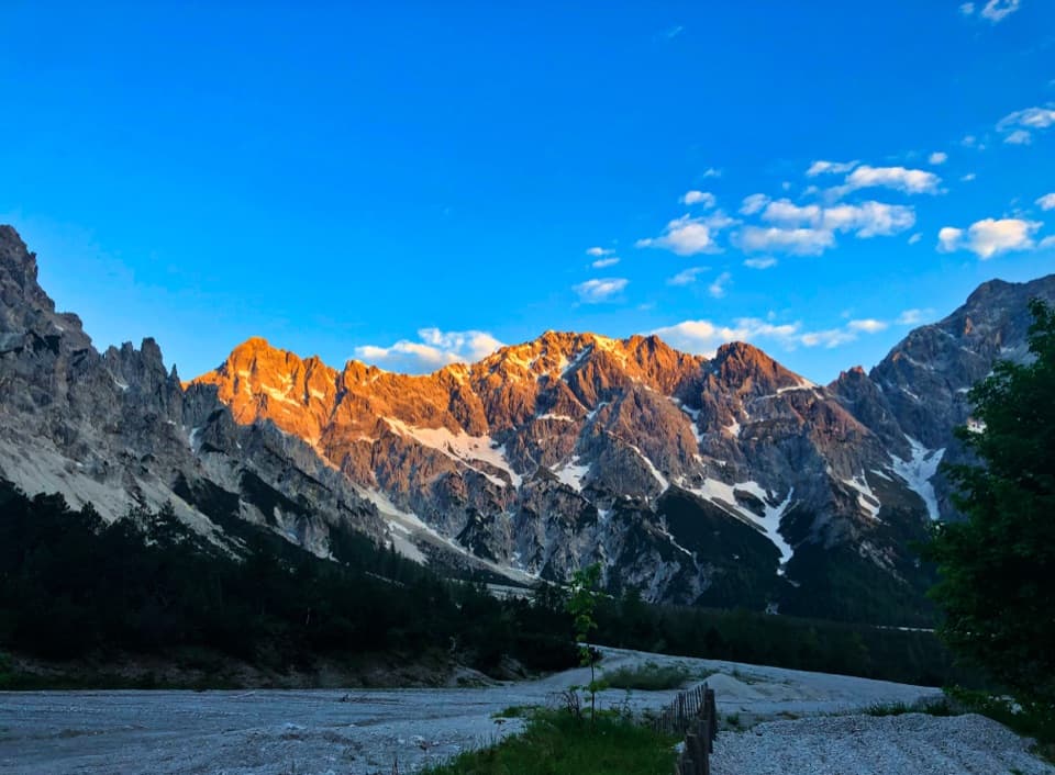 ChallengingRund um den Watzmann via Trischübel19.9 km · 10 hr · At the trailheadA 20 km crossing from a scree valley to Königssee.ChallengingMitterkaseralm am Watzmann via Stubenalm9.3 km · 4.5 hr · At the trailheadA steep forest climb to a pasture beneath Watzmannhaus.
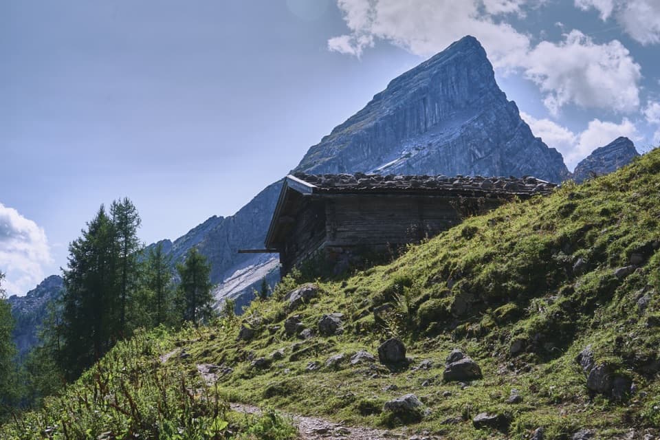 ChallengingFalzalm from Wimbachbrücke11.4 km · 6.5 hr · At the trailheadA steep climb to a hut framed by the Watzmann-Frau.
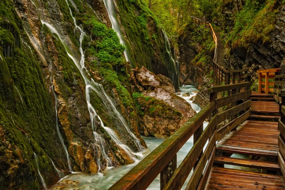 ModerateWimbachklamm-Rundweg2.1 km · 1 hr · 0.1 km awayA short gorge loop with a one-way waterfall walk and steep return.
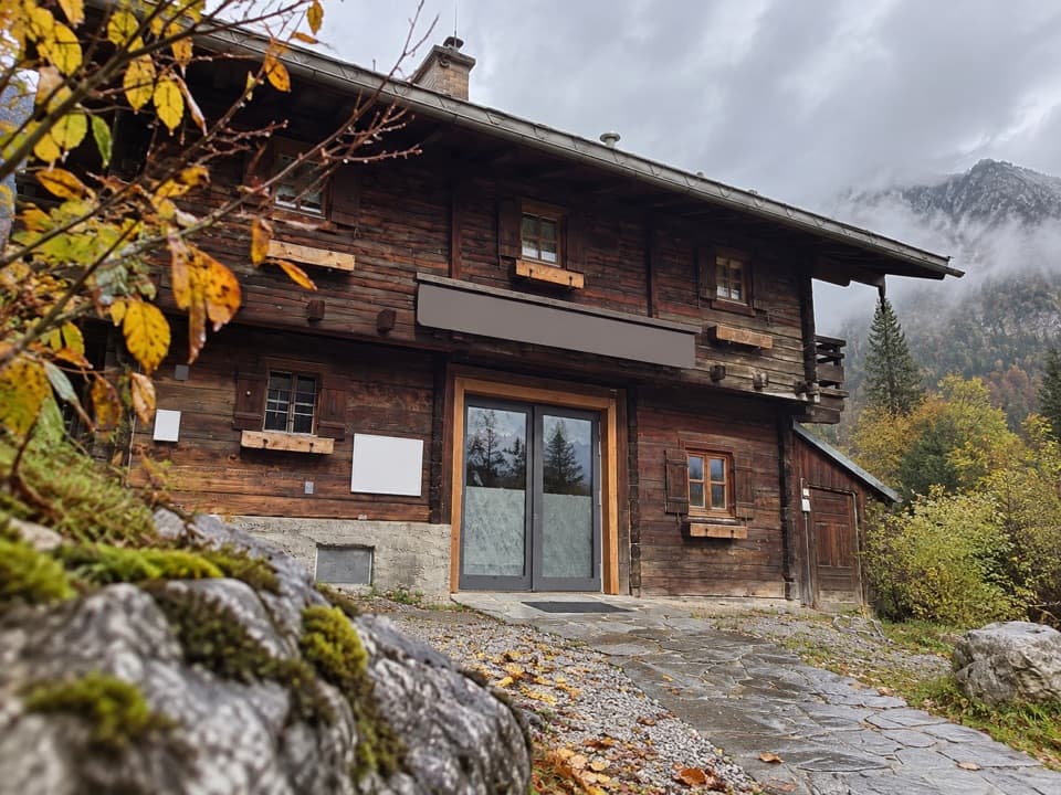 Visitor center · 0.1 km awayWimbachbrücke National Park Information PointA free geology exhibit at the start of Wimbachtal hikes.
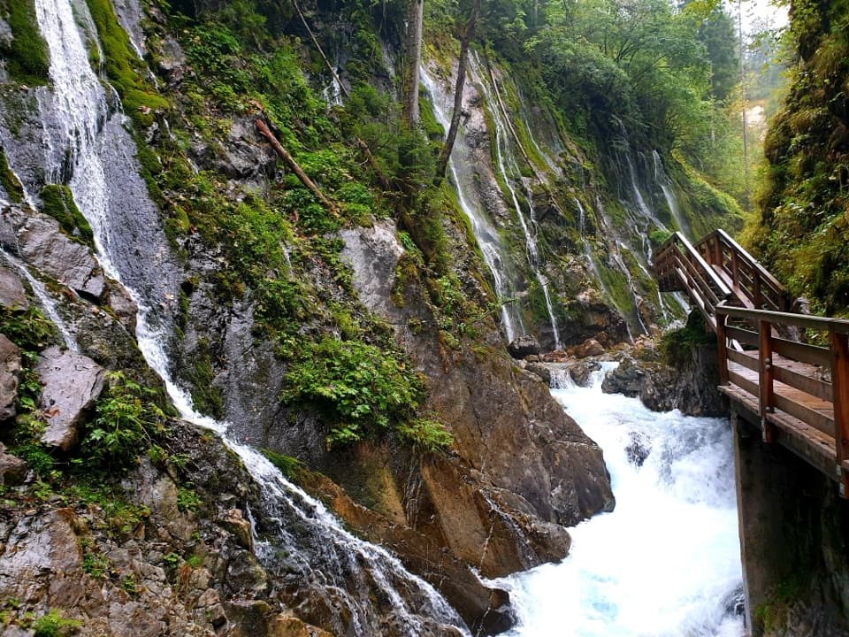 Sight · 0.6 km awayWimbachklammA short, ticketed boardwalk beside waterfalls and mossy rock.
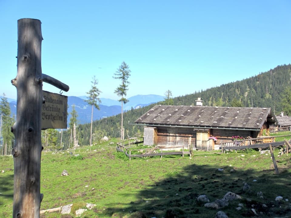 Food · 1.6 km awayStubenalmBrotzeit and Ramsau views reward the climb to this hut
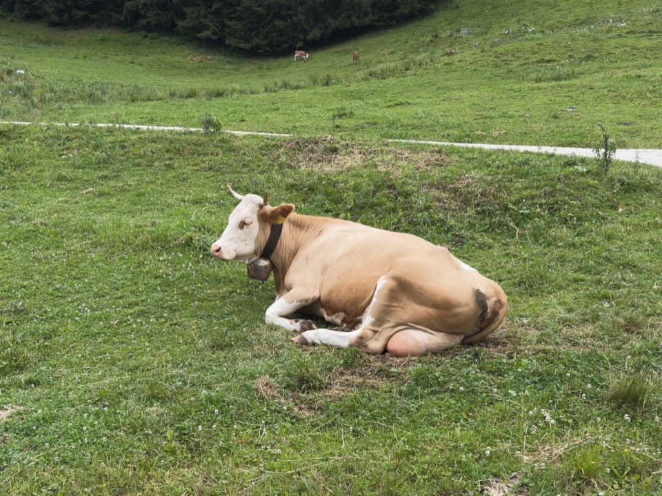 Food · 3 km awaySchapbachalmHouse-made alpine cheese with the Watzmann close overhead.
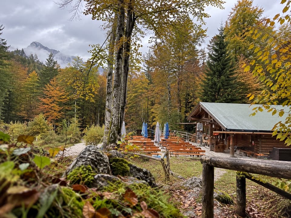 Restaurant · 3 km awayGrünsteinhütteA terrace stop for Kaiserschmarrn below Grünstein's summit.
 Food · 3 km awayMitterkaseralm am WatzmannA mountain-hut break on the climb to Watzmannhaus.
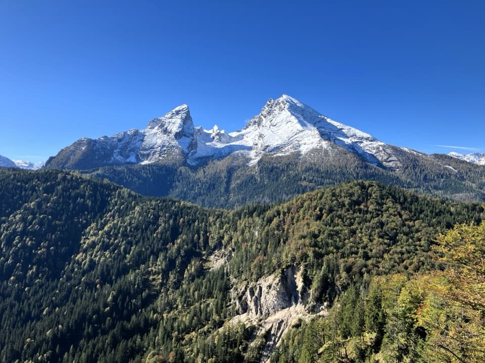 Sight · 3.2 km awayGrünstein Summit ViewpointA steep climb for Watzmann, Königssee and a hut stop below.Lodging · 3.5 km awayWatzmannhausA long climb to a classic Watzmann hut and overnight base.
Parkwolf’s Berchtesgaden ranking

The audio tour guide for the drive, plus offline maps, trails, and wildlife heatmaps for when the signal drops.