
Place · 0.5 mi away
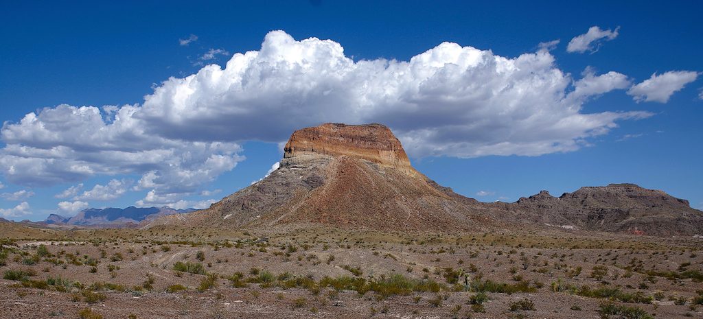
Cerro Castellan is the photogenic butte you spot rising solo from the desert near Castolon—a quick, worthwhile pullout with an interpretive exhibit that brings Big Bend’s volcanic story to life [nps.gov](https://www.nps.gov/places/cerro-castalon-exhibit.htm). It sits near the intersection of River Road and the Ross Maxwell Scenic Drive, making it an easy add-on to any west-side itinerary [usgs.gov](https://www.usgs.gov/media/images/a-photo-cerro-castellan).
From the pullout, you get a full-on view of a steep, layered cone capped by hard lava. The color bands and clean profiles are a gift for photographers, especially when low-angle light pops the reds and creams of the rock [usgs.gov](https://www.usgs.gov/media/images/a-photo-cerro-castellan). Expect big-sky Chihuahuan Desert vistas all around.
Cerro Castellan (also called Castolon Peak) is a classic volcanic landform: a Miocene-age lava cap from the Delaho Formation sitting atop volcanic ash and stream deposits of the Chisos Formation—textbook layering you can read from the road [usgs.gov](https://www.usgs.gov/media/images/a-photo-cerro-castellan). It’s a bite-sized lesson in the park’s eruptive past without lacing up boots.
Treat this as a short stop: pull in, read the exhibit, and soak up the views. There’s auto and bus/RV parking at the wayside, but no other services, so come prepared and keep it efficient if the lot is busy [nps.gov](https://www.nps.gov/places/cerro-castalon-exhibit.htm).
Aim for early morning or late afternoon when the rock’s colors glow and temps are friendlier. Midday can be harsh—flat light and heavy heat—so plan your Ross Maxwell drive to hit this one during golden hours [nps.gov](https://www.nps.gov/places/cerro-castalon-exhibit.htm).
Place · 0.5 mi away
Place · 0.8 mi away
Place · 1.3 mi away
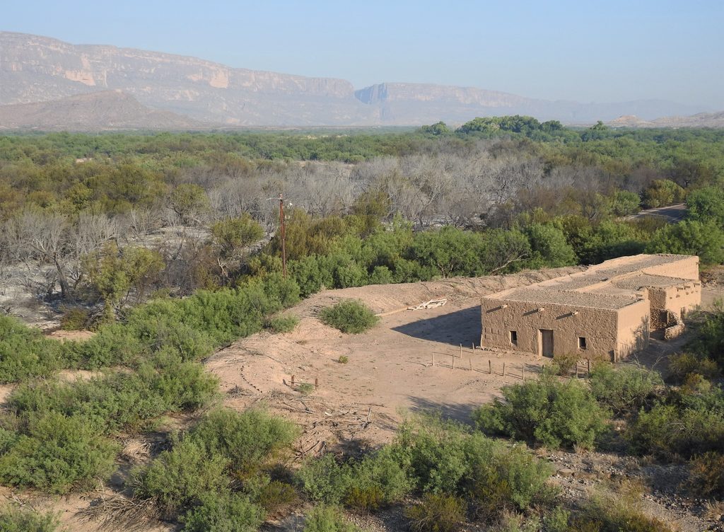
Place · 1.3 mi away
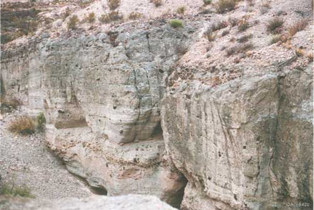
Easy · 0.8 mi away
Easy · 4 mi away
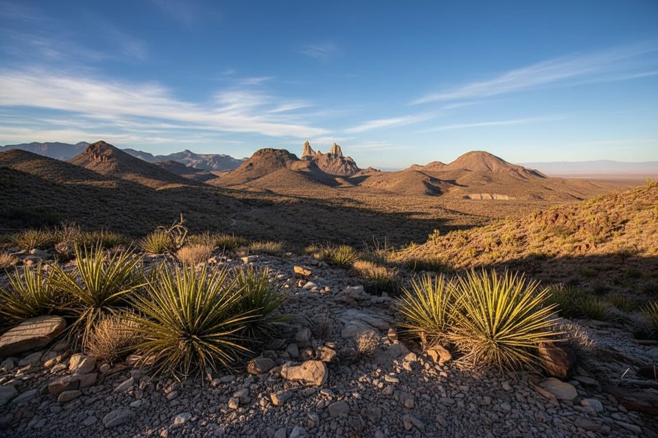
Moderate · 4 mi away
Easy · 5 mi away

Parkwolf Tour Guide
