Parking
Use the Dorgan-Sublett Trail pullout on Ross Maxwell Scenic Drive, about 4.5 miles west of Castolon. The dirt pullout has room for two vehicles.

Big Bend National Park, TX
A quick farmstead walk with a big hilltop view.
Overview
Map & elevation
Plan your hike

The highest, rockiest slopes around here are a summer buffet for grizzly bears.
Big Bend Tour Guide
Parkwolf is a GPS audio tour guide for Big Bend National Park. As you drive, it chimes in with what’s ahead: hidden gems, upcoming stops, history, geology, and wildlife, right through your car’s speakers.
See the Big Bend audio tourRecorded for this trailhead
Dorgan-Sublett Historic Site“Up ahead is Dorgan-Sublett Historic Site, a short walk into an old Rio Grande farm.”
Plays as you drive up to this trailhead in the Parkwolf Big Bend Tour Guide.
More stories near here in the app
“Fantastic app with many points of information… It’s great to just turn on while you’re driving and it gives you an audio tour of the national Park. We love it!!!!”


Trail guide
Dorgan Sublett Trail is a one-mile out-and-back to four remains of Grand Canyon Farms, an early 1900s operation along the Rio Grande. Allow about 30 minutes from the pullout on Ross Maxwell Scenic Drive. The dirt path crosses grasses, desert scrub and sandy washes, then climbs 56 feet from La Casita to the upper ruins over rock and sand. It’s a good short stop if you want a little Big Bend history without committing to a long hike. Take the hilltop fork to both house sites before turning back; the surviving walls and window-framed vista are the payoff.
The walk begins at a stone farmhouse with an interpretive exhibit about the farm and the families who lived here. The broad dirt path heads east across grasses and desert scrub to a small mesquite grove with a shaded bench, then reaches La Casita, an adobe structure. Beyond it, the path makes its one short, steeper climb to the hilltop. The fork leads right to the Sublett house remains and left to the Dorgan house.
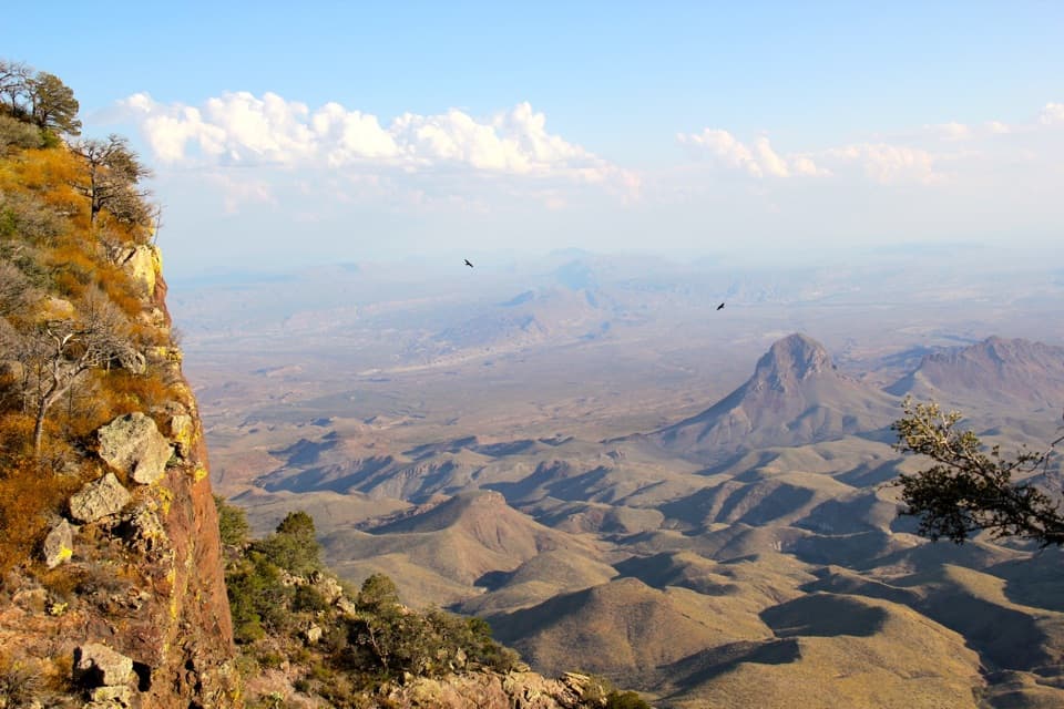
Part of the Dorgan house’s walls and its fireplace still stand. Look through the window openings toward the Chisos Mountains, Emory Peak, Mule Ears and Santa Elena Canyon. The window openings naturally frame the wide landscape and make a strong photo from inside the ruins.
James and Melissa Belle Sublett arrived in Castolon in 1913. After running the Alvino House store, James bought four sections of land in 1918 and called the operation Grand Canyon Farms. He used mule-drawn Fresno scrapers and tools from his railroad earthmoving work to level fields and improve irrigation. The historic area held the former homes of farmer James Sublett and architect Alvert Dorgan, along with smaller buildings for farmworkers and farm work.
Mesquite and tamarisk have since spread across parts of the Rio Grande floodplain they farmed. The park uses mechanical brush removal and prescribed fire to restore part of that historic landscape.
The dirt pullout is about 4.5 miles west of Castolon on Ross Maxwell Scenic Drive and fits two vehicles. There’s a bench in the mesquite grove and an interpretive exhibit at the first farmhouse. Pets aren’t allowed on park trails. Bring water for the dry walk, and stay on the trail by the especially fragile Sublett house remains.
Wildlife
 377 sightingsBlack BearMost seen around 7 PMSighting map
 329 sightingsCollared PeccaryMost seen around 7 PMSighting map
 500 sightingsWhite-tailed DeerMost seen around 7 PMSighting map
 985 sightingsRoadrunnerMost seen around 8 AMSighting map
 228 sightingsRavenMost seen around 5 PMSighting map
 264 sightingsTurkey VultureMost seen around noonSighting map
Sighting maps show where each species has been reported across Big Bend. Wildlife moves, so no sighting is guaranteed.
Keep exploring
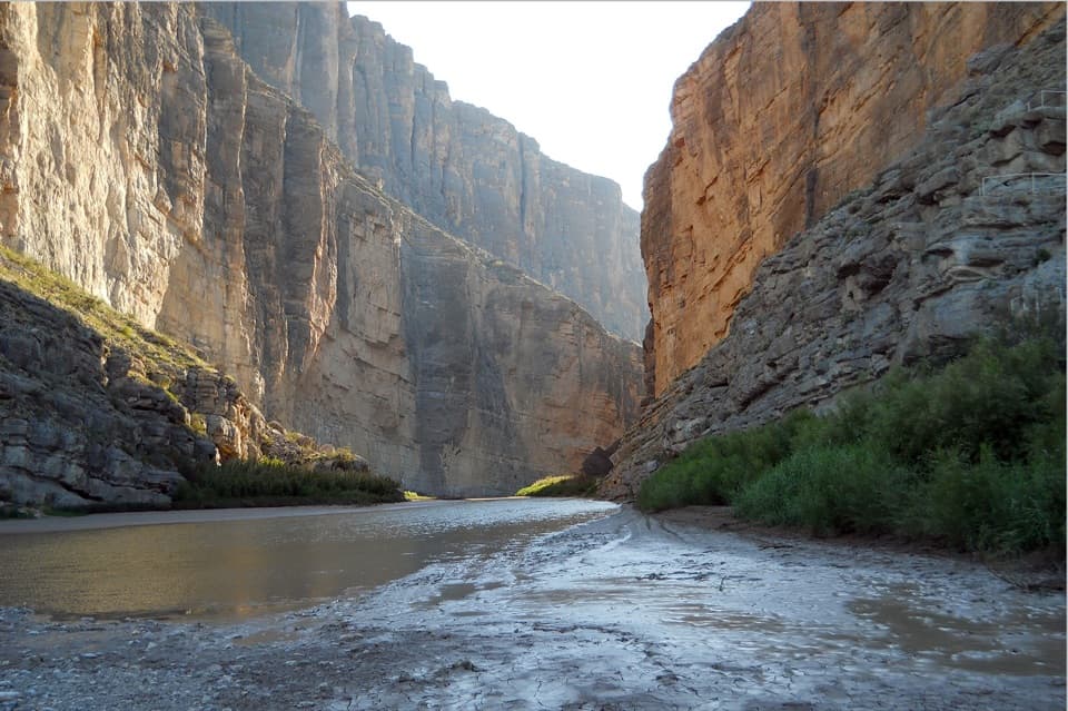 EasySanta Elena Canyon Trail1.6 mi · 1 hr · 2.1 mi awayCross a shifting creek, then walk beneath towering limestone walls.
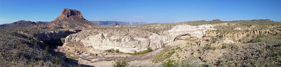 EasyTuff Canyon Trail0.5 mi · 20 min · 5.6 mi awayA short rim walk with a clear look at volcanic layers.
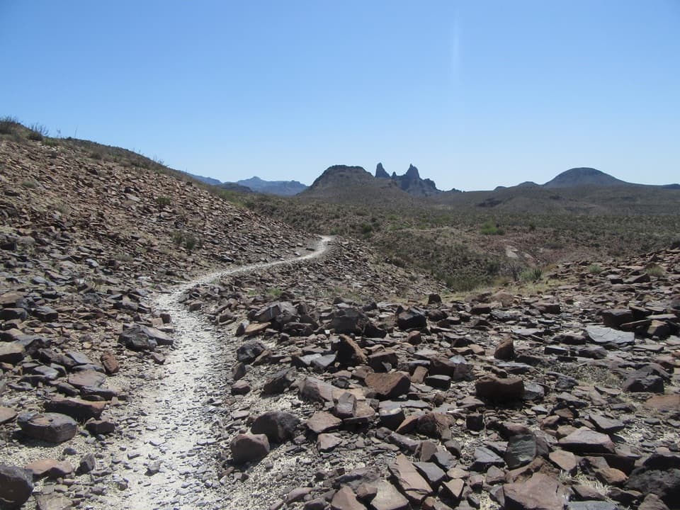 ModerateMule Ears Spring Trail3.8 mi · 2 hr · 8.8 mi awayA rock corral and spring tucked into a desert walk
 ModerateChimneys Trail4.8 mi · 2.5 hr · 10.1 mi awayDesert spires and ancient rock art cap this exposed 4.8-mile walk.
 EasyBurro Spring Trail2.4 mi · 1.5 hr · 11.1 mi awayA rocky desert walk to a spring overlook above a green pocket.
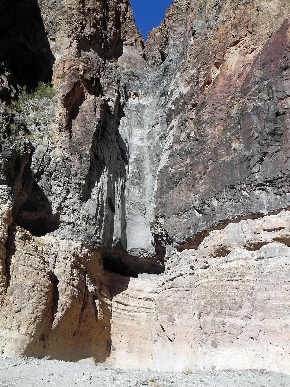 EasyLower Burro Mesa Pouroff Trail1 mi · 30 min · 11.8 mi awayA short wash walk to a 100-foot rock chute.
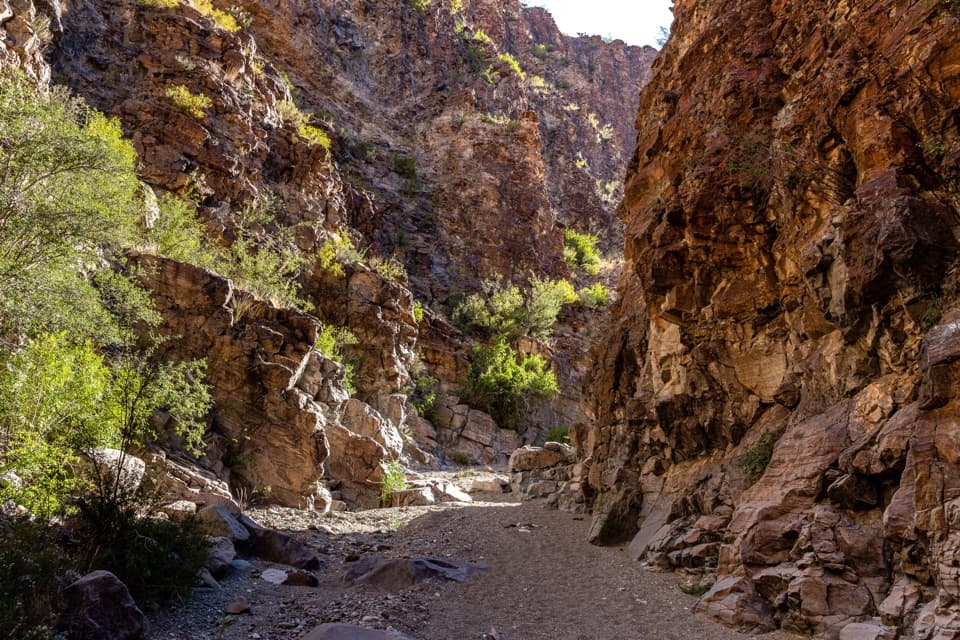 ModerateUpper Burro Mesa Pouroff Trail3.5 mi · 2.5 hr · 13.3 mi awayA sandy wash and boulder scrambles lead to a slick-rock grotto.
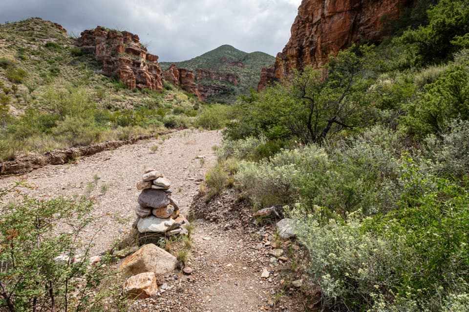 ChallengingBlue Creek Trail5.8 mi · 4 hr · 13.4 mi awayA red-rock wash walk with a hard climb into the Chisos.Sight · At the trailheadDorgan-Sublett Historic SiteA Rio Grande farm with a petrified-wood fireplace worth seeing.
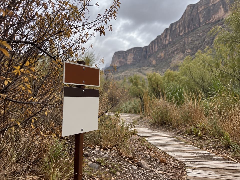 Sight · 1.1 mi awaySanta Elena Canyon River TakeoutA practical staging spot for Rio Grande paddlers.
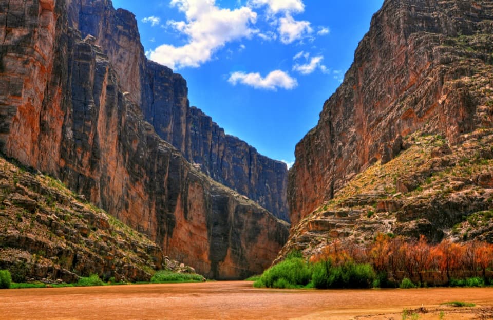 Sight · 1.8 mi awaySanta Elena Canyon OverlookA low river-level view into an 8-mile canyon.
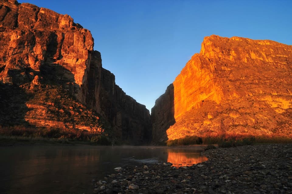 Sight · 2.1 mi awaySanta Elena CanyonThe Rio Grande threads an eight-mile gorge of sheer limestone.
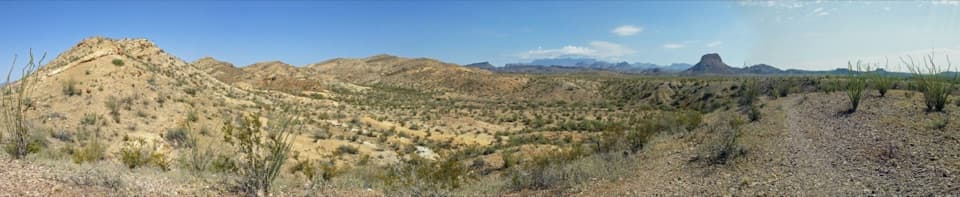 Scenic pullout · 2.6 mi awayDesert Mountain OverlookFind Emory Peak, the South Rim and Elephant Tusk from the road.
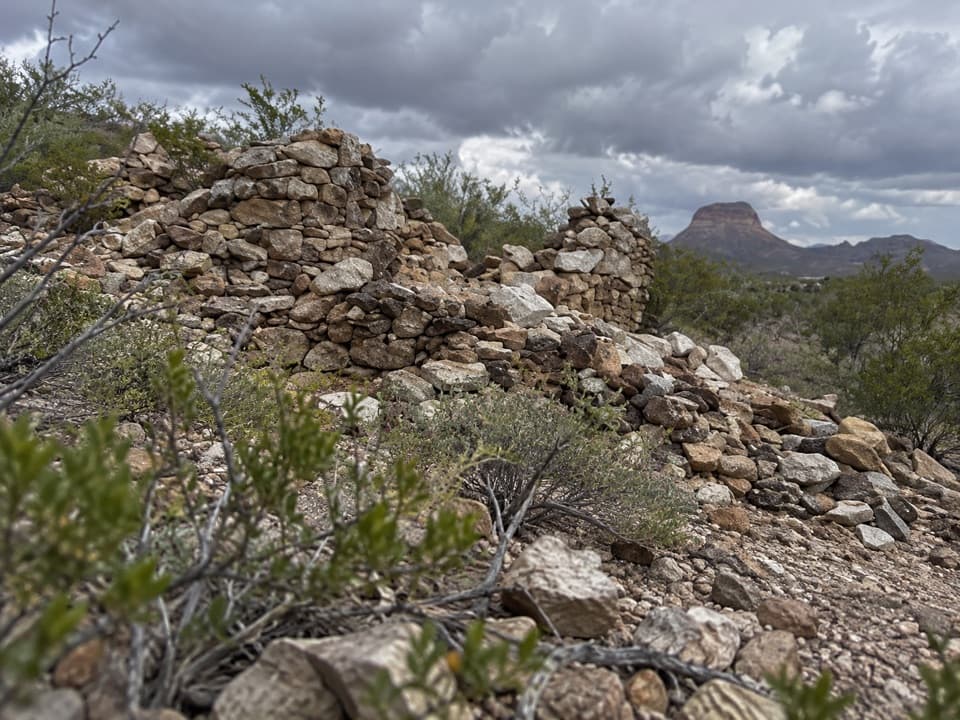 Sight · 2.6 mi awayLa CoyotaRuins of a farming community that sold food to miners.
 Campground · 3.7 mi awayCottonwood CampgroundA quiet, dry-camping base near Santa Elena Canyon.
 Visitor center · 4.2 mi awayCastolon Visitor CenterHistoric adobe, ranger advice, and a wide view over the Rio Grande.
Parkwolf’s Big Bend ranking

The audio tour guide for the drive, plus offline maps, trails, and wildlife heatmaps for when the signal drops.