Parking
Use the paved Tuff Canyon pullout on Ross Maxwell Scenic Drive; it holds about six vehicles.
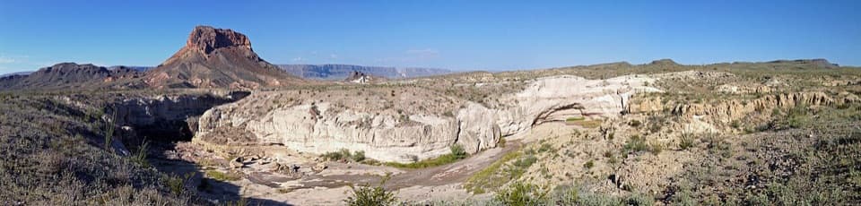
Big Bend National Park, TX
A short rim walk with a clear look at volcanic layers.
Overview
Map & elevation
Plan your hike

The highest, rockiest slopes around here are a summer buffet for grizzly bears.
Big Bend Tour Guide
Parkwolf is a GPS audio tour guide for Big Bend National Park. As you drive, it chimes in with what’s ahead: hidden gems, upcoming stops, history, geology, and wildlife, right through your car’s speakers.
See the Big Bend audio tourRecorded for this trailhead
Tuff Canyon“Tuff Canyon is coming up, a good twenty-minute stop for a close look at the pale volcanic walls. The half-mile rim walk connects three viewing platforms, each with a different angle into the gorge.”
Plays as you drive up to this trailhead in the Parkwolf Big Bend Tour Guide.
More stories near here in the app
“Fantastic app with many points of information… It’s great to just turn on while you’re driving and it gives you an audio tour of the national Park. We love it!!!!”


Trail guide
Tuff Canyon Trail is a 0.5-mile round-trip rim walk, listed at about 20 minutes, with two short paths to three platforms over the canyon. It is an easy way to get close to the volcanic walls without committing to a long hike. This itinerary covers the rim platforms; a canyon-floor descent is not part of this mapped walk. Pets are not allowed on park trails.
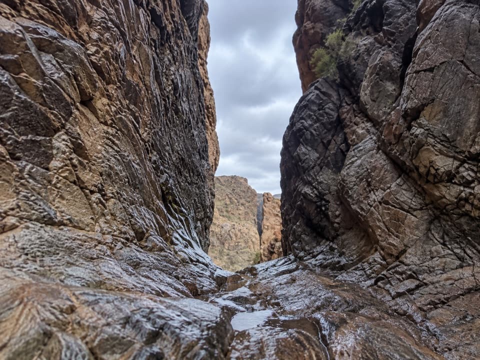
Use all three platforms: each gives a different angle into the wash. Look for pebbles and boulders embedded in the pale canyon walls, then pick out the darker basalt lower down. During the rainy season, pools can collect in the wash, though the walk described here stays on the rim.
About 30 million years ago, hot ash and rock fragments from nearby volcanic activity settled here and welded into tuff. Water from Blue Creek, fed by rain in the Chisos Mountains, later cut through the tuff and basalt. The contrast is easy to see from the platforms: pale welded ash above, darker rock below.
The rim is soft and erodes easily. Steep drop-offs and regular rockfalls make the edge a bad place to wander, so stay back and use the viewing platforms. A separate canyon-floor route appears in longer descriptions, but its current access status is unclear; check with the park before attempting any descent.
Wildlife
 377 sightingsBlack BearMost seen around 7 PMSighting map
 329 sightingsCollared PeccaryMost seen around 7 PMSighting map
 500 sightingsWhite-tailed DeerMost seen around 7 PMSighting map
 985 sightingsRoadrunnerMost seen around 8 AMSighting map
 228 sightingsRavenMost seen around 5 PMSighting map
 264 sightingsTurkey VultureMost seen around noonSighting map
Sighting maps show where each species has been reported across Big Bend. Wildlife moves, so no sighting is guaranteed.
Keep exploring
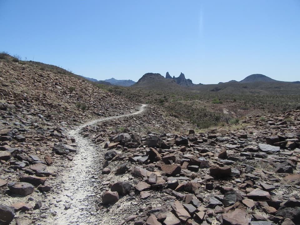 ModerateMule Ears Spring Trail3.8 mi · 2 hr · 3.4 mi awayA rock corral and spring tucked into a desert walk
 ModerateChimneys Trail4.8 mi · 2.5 hr · 5.5 mi awayDesert spires and ancient rock art cap this exposed 4.8-mile walk.
 EasyDorgan Sublett Trail1 mi · 30 min · 5.6 mi awayA quick farmstead walk with a big hilltop view.
 EasyBurro Spring Trail2.4 mi · 1.5 hr · 7 mi awayA rocky desert walk to a spring overlook above a green pocket.
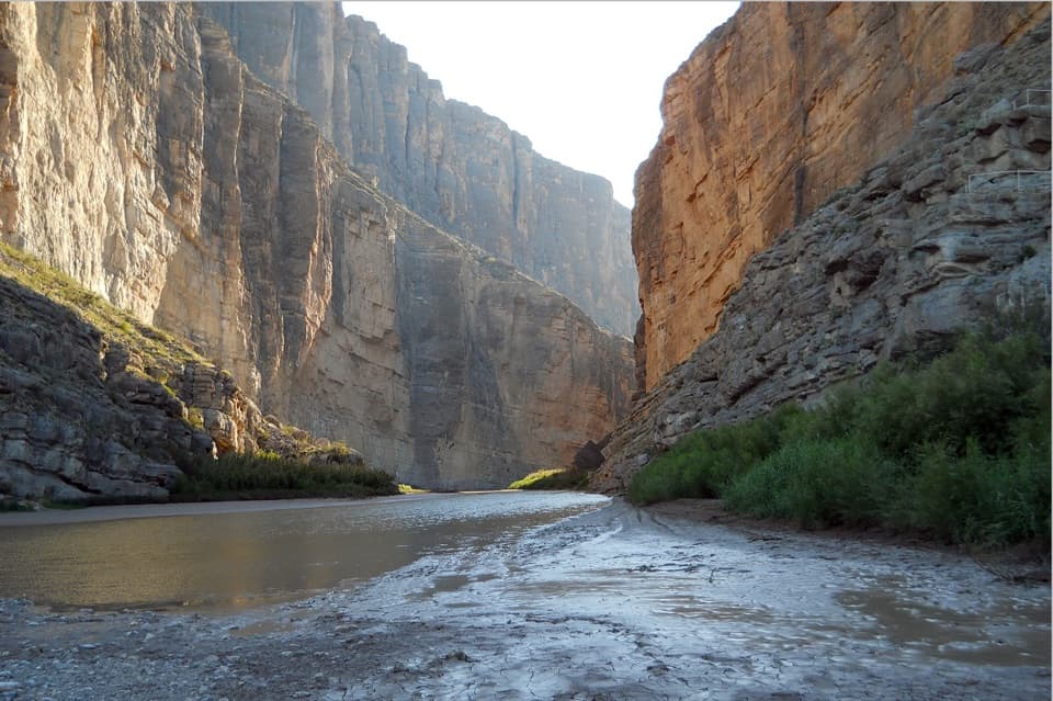 EasySanta Elena Canyon Trail1.6 mi · 1 hr · 7.6 mi awayCross a shifting creek, then walk beneath towering limestone walls.
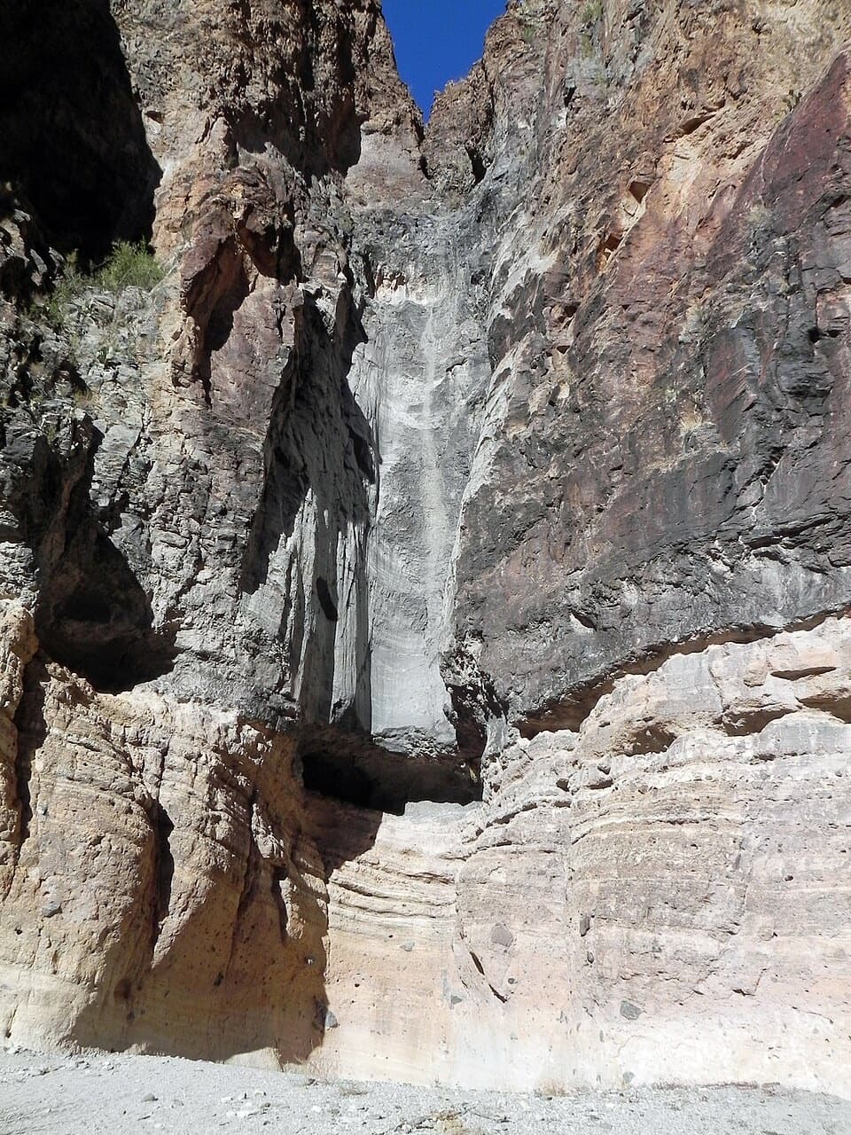 EasyLower Burro Mesa Pouroff Trail1 mi · 30 min · 7.6 mi awayA short wash walk to a 100-foot rock chute.
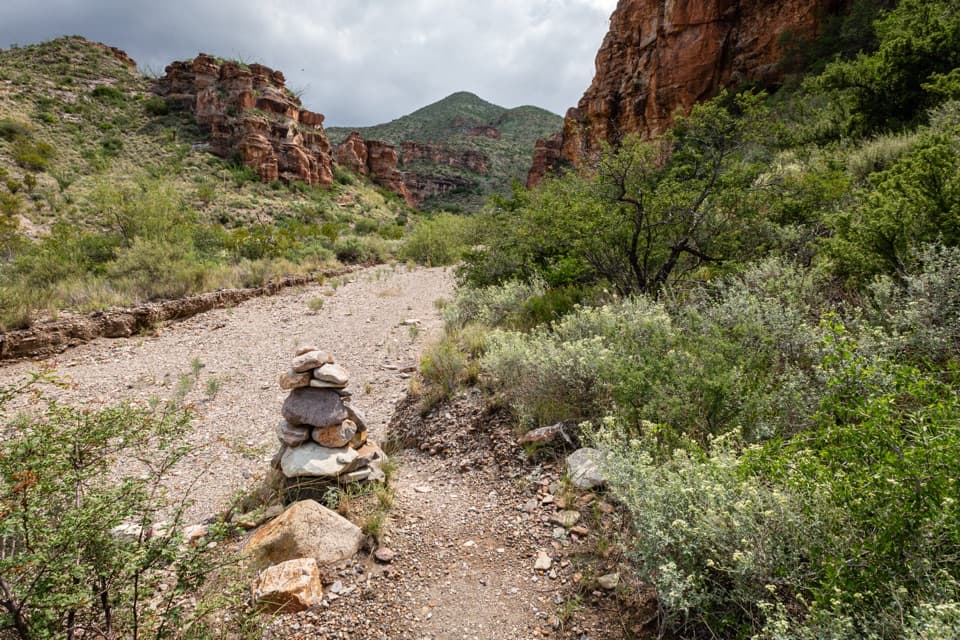 ChallengingBlue Creek Trail5.8 mi · 4 hr · 8.5 mi awayA red-rock wash walk with a hard climb into the Chisos.
 EasyHomer Wilson Ranch Trail0.7 mi · 30 min · 8.5 mi awayA steep descent to the ranch line camp below the overlook.
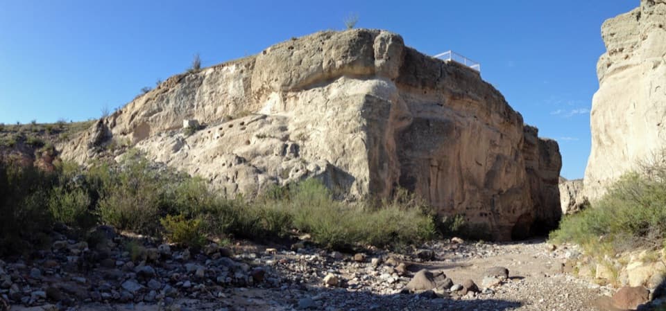 Sight · 0.1 mi awayTuff CanyonThree rim platforms reveal pale tuff and a deep, narrow canyon.
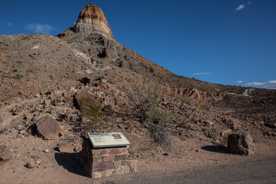 Sight · 1 mi awayCerro Castellan ExhibitA roadside geology lesson framed by a steep volcanic peak.
 Store · 2 mi awayLa Harmonita StoreCold drinks and practical supplies along the remote west side.
 Sight · 2 mi awayCastolon Historic DistrictA borderland history stop among Big Bend’s adobe buildings.
 Visitor center · 2 mi awayCastolon Visitor CenterHistoric adobe, ranger advice, and a wide view over the Rio Grande.
 Campground · 2.3 mi awayCottonwood CampgroundA quiet, dry-camping base near Santa Elena Canyon.
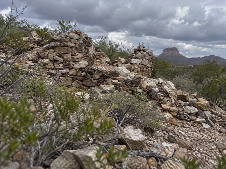 Sight · 3.1 mi awayLa CoyotaRuins of a farming community that sold food to miners.
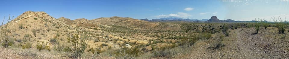 Scenic pullout · 3.1 mi awayDesert Mountain OverlookFind Emory Peak, the South Rim and Elephant Tusk from the road.
Parkwolf’s Big Bend ranking

The audio tour guide for the drive, plus offline maps, trails, and wildlife heatmaps for when the signal drops.