Pros & cons
PROS
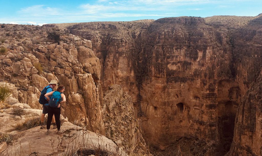
- Spectacularly narrow, sheer limestone walls with sweeping desert views
- True solitude and wilderness feel, whether from the rim or the river
CONS
- Rough, remote access requiring high‑clearance (often 4x4) on long dirt roads
- No services of any kind (no water, restrooms, or shade)
- Vehicle break‑ins reported at Talley and Solis access points
Overview
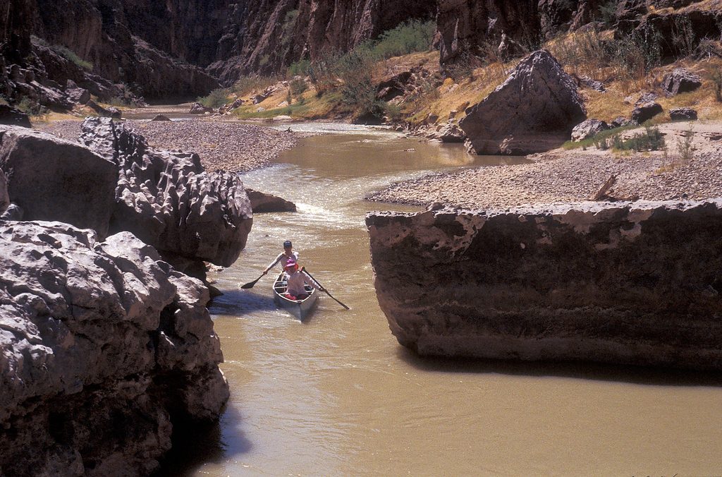
Mariscal Canyon is the park’s wild card: the narrowest and steepest of the three big Rio Grande canyons, dropping roughly 1,400 feet through solid limestone. It’s remote, raw, and a world apart from the crowds—exactly why many consider it the most rewarding corner of the river corridor.
What Makes It Special
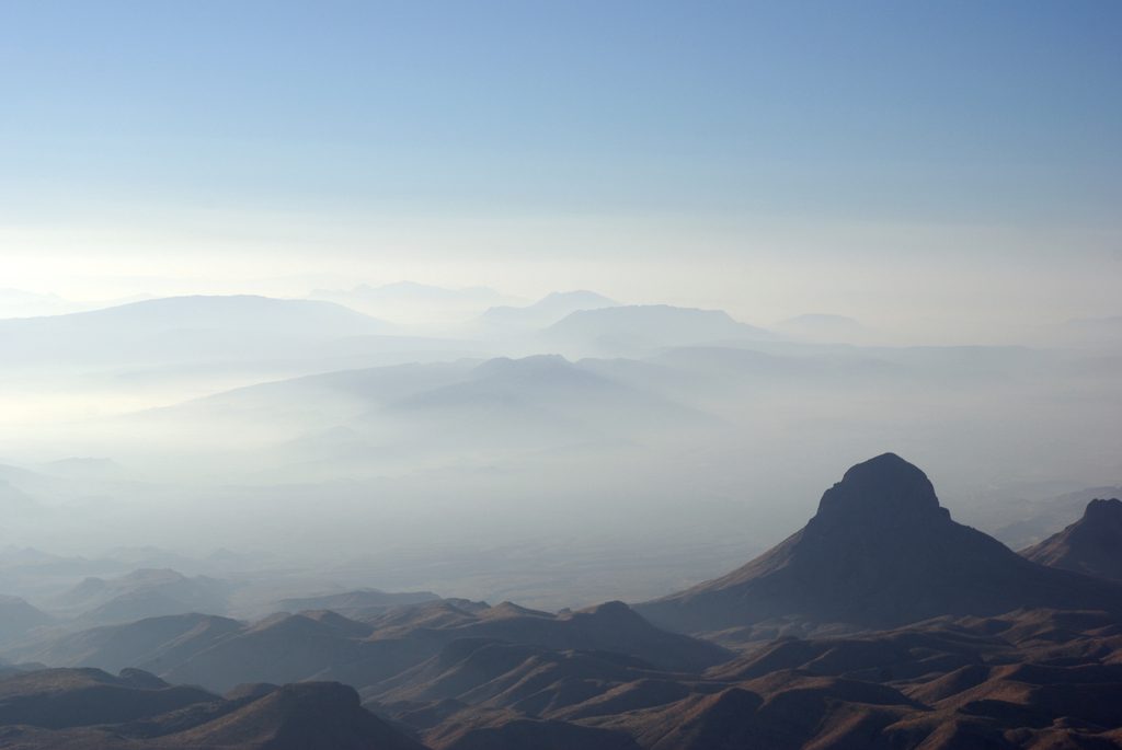
From desert flats the land simply falls away into a tight stone chasm, the river making the signature northward turn that gives the region its name. Expect towering vertical walls, complex light on multihued limestone, and vast cross‑border vistas from the rim.
Getting There & Access Reality Check
Access is part of the commitment: long, rough drives on River Road with high‑clearance (often 4x4) recommended. The usual river put‑in/take‑out points are Talley and Solis. There are no facilities—no water, restrooms, shade, or developed parking—and the area has reported vehicle break‑ins at Talley and Solis. Plan to be fully self‑sufficient.
Ways to Experience It
- Rim hike: The Mariscal Rim Trail is a strenuous 6.5‑mile round trip to the canyon edge. You won’t see the gorge until you reach the brink, where it drops away in dramatic fashion.
- On the water: The in‑canyon float is about 10 miles and can be done as a day or overnight. Expect serious wilderness boating with notable rapids like Rockpile and Tight Squeeze. Common river camps cluster around mid‑canyon features like “The Break.”
Scenery & Highlights
- Sheer, narrow limestone walls that amplify sound and shade as you paddle.
- A sudden, breathtaking rim with far‑reaching desert panoramas.
- Niche features paddlers talk about—Hermit’s Cave above Tight Squeeze, and brief openings where the walls relax—add variety to the gorge.
Wildlife
This is big, quiet country. Possible encounters include black bears, mountain lions, bobcats, javelina, feral hogs, and rattlesnakes. You may also spot non‑native Barbary sheep on cliffs; desert bighorn are rarer here. Stay alert along shorelines and in rocky terrain.
Safety & Planning
- Roads can become impassable after rain—always check conditions.
- Start hikes early to beat brutal afternoon heat and full sun exposure.
- River runners should be ready to scout major rapids and manage fluctuating flows in a remote setting.
- Remove all valuables from vehicles at Talley and Solis; there are no storage lockers.
- Carry ample water (think at least a gallon per person per day) and full sun protection.
Amenities (or Lack Thereof)
There are none. No restrooms, water, food, or developed campgrounds. Primitive river camping only at designated spots; pack out everything, including waste.
Best Time to Visit
Aim for early starts for both hiking and boating to avoid peak heat. Because this canyon sees far fewer visitors than Santa Elena or Boquillas, solitude is the norm; “crowds” are rarely an issue. Always time your trip around current road and weather conditions.
Where it is
29.0313, -103.1016Tips for Mariscal Canyon
- 01Bring at least 1 gallon of water per person per day and full sun protection.
- 02Remove all valuables from vehicles at Talley and Solis; lock up.
- 03Check road and weather conditions—River Road and spur roads can become impassable after rain.
- 04For the rim hike, start at dawn to avoid heat and get clearer views.
- 05Boaters: plan to scout Rockpile and Tight Squeeze and be fully self-sufficient for an isolated run.
Amenities
Near Mariscal Canyon
All places →All trails →
5.8 mi awayMariscal Canyon Rim TrailRemote, hard desert climb to a jaw-dropping Rio Grande canyon rim.Challenging · 6.5 mi · 4 hr
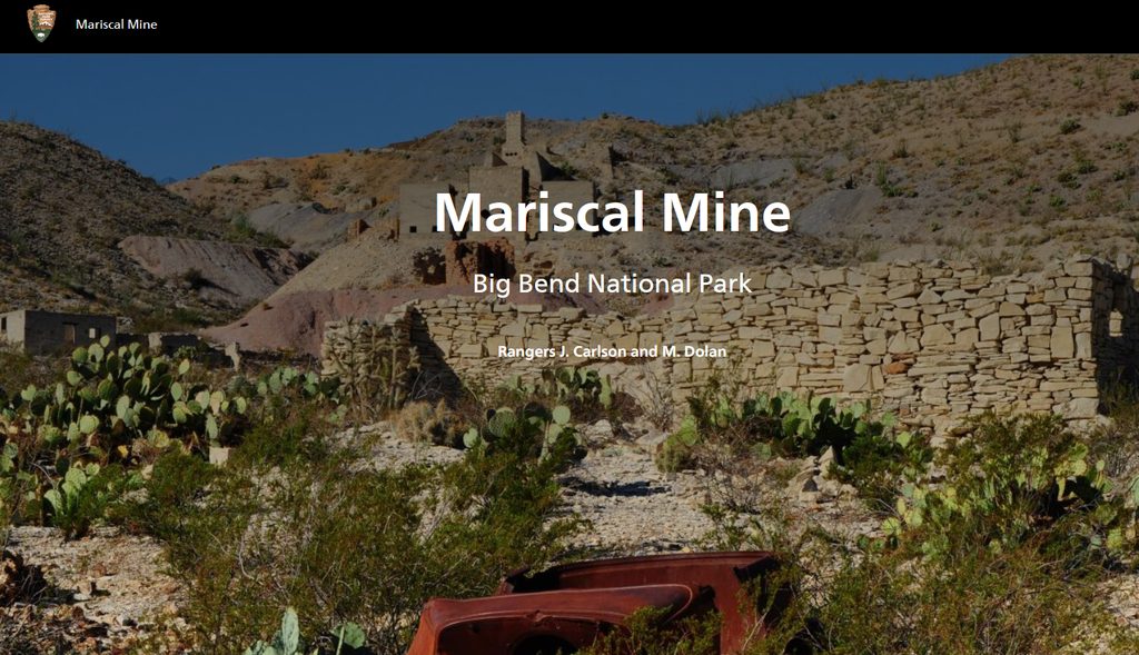
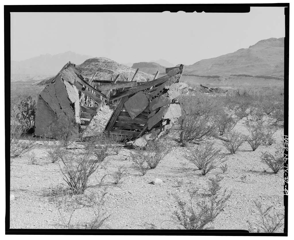
6.8 mi awayMariscal MineRemote mercury-mine ruins with stark desert views and solitudeExhibit
6.8 mi awayMariscal Mine TrailRemote mercury mine ruins with big views for a short effortEasy · 0.9 mi · 30 min
9.2 mi awayElephant TuskRemote primitive camp beside a dramatic volcanic plugTrailhead · Parking
10.5 mi awayGlenn SpringRemote historic spring with primitive campsites and big desert viewsCampground
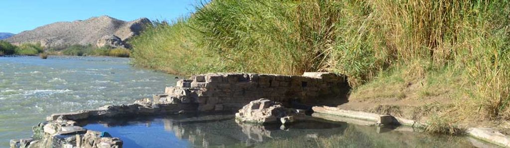
11.8 mi awayHot Springs Historic TrailShort loop to riverside ruins and a 105°F Rio Grande soakEasy · 1.2 mi · 30 min
12.1 mi awayHot Springs Historic DistrictRiverside hot spring amid evocative ruins on the Rio GrandeTrailhead · Parking
13.6 mi awayRio Grande Village Nature TrailSunset-perfect loop from wetlands boardwalk to Rio Grande overlookEasy · 0.8 mi · 36 min