Rio Grande Village Nature Trail in Big Bend National Park

#8 of 45 trails in Big Bend

Big Bend National Park, TX

Rio Grande Village Nature Trail

Wetland boardwalk and a short ridge loop with Rio Grande views.

Length
0.8mi
Time
30min
Elev. change
69ft
Difficulty
Easy
  • Loop
  • No dogs
  • High point 1,909 ft

Hear the audio tour

Rio Grande Village Nature Trail

Overview

About Rio Grande Village Nature Trail

Why go

  • A compact walk combines a wetland boardwalk with a wide river-and-mountain view
  • The level opening section is wheelchair-accessible

Heads up

  • Only the opening section is wheelchair-accessible; the ridge has rough footing and log steps
  • The ridge has little shade, and day-use parking directions conflict

Map & elevation

The route

Loading the Big Bend map
Full map
Elevation1,841–1,909 ft
TrailheadRio Grande Village Nature Trail start by campsite 1829.17919, -102.95408
Keep this map with you offline in the Parkwolf app

Plan your hike

Before you go

Parking

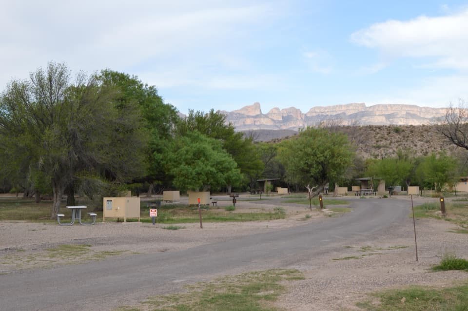
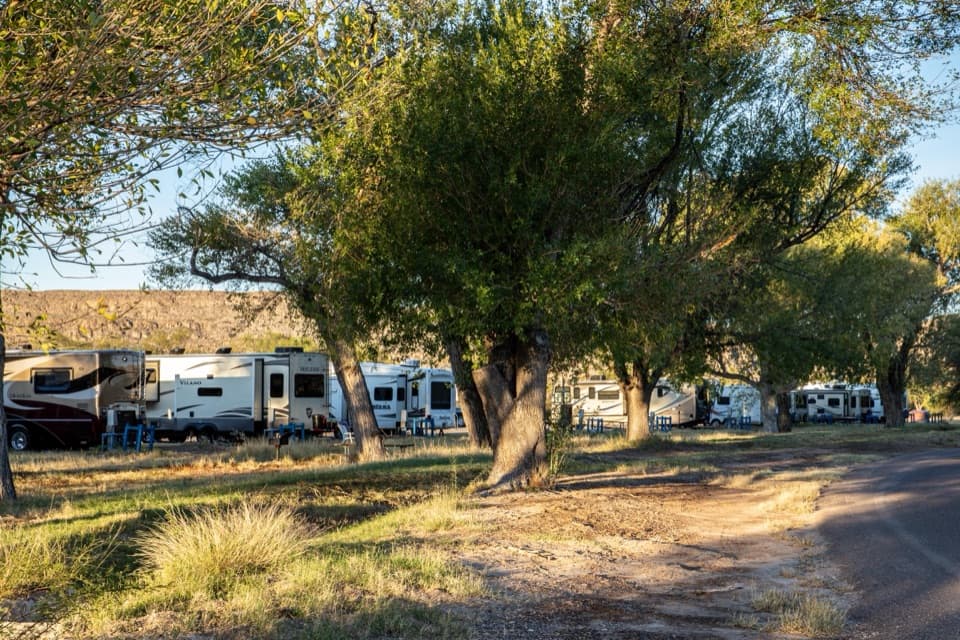
The trail starts behind campsite 18. Trail directions describe two small pullouts at the campground back end, with room for about four cars; a visitor account instead points to a signed Nature Trail lot before the campground and about a 0.5-mile round-trip walk. Public day-use parking is unclear, so follow current signs and do not assume campground spaces are available.

Best time to go

Morning is a good time to listen for wetland birds; late light can bring color to the ridge and river. Wildlife sightings are never guaranteed, and the exposed climb can feel hot in warm weather. A separate path heads toward the river, but it is outside this loop and its extra mileage is unclear; do not count it in the 0.75 miles. Pets are not allowed on park trails.

Safety

Beyond the short wheelchair-accessible opening, expect uneven dirt and gravel with log steps on an exposed hillside with little shade. Heat can make the short climb feel harder. Pets are prohibited on park trails.

2 active Big Bend alerts

  • ClosureWeather-related road closuresDo not use these closed roads; NPS lists the closures as in effect until further notice.Official details
  • InfoBoquillas Crossing schedule changeBoquillas Crossing is open Friday through Monday, 9:00 a.m.–4:00 p.m.; NPS says it will not change to winter hours at this time. Check current park conditions before planning a crossing.Official details
Big Bend alerts
A park ranger sits on a dash-mounted phone, talking, as Parkwolf’s Tour Guide plays “Army Cutworm Moths: A Grizzly Bear Buffet” on Grand Loop Road below Dunraven Pass in Yellowstone
Parkwolf Tour GuideThe highest, rockiest slopes around here are a summer buffet for grizzly bears.

Big Bend Tour Guide

Your drive to Rio Grande Village Nature Trail, narrated.

Parkwolf is a GPS audio tour guide for Big Bend National Park. As you drive, it chimes in with what’s ahead: hidden gems, upcoming stops, history, geology, and wildlife, right through your car’s speakers.

See the Big Bend audio tour

Recorded for this trailhead

Rio Grande Village Nature Trail
0:00 / 0:26
“Up ahead is Rio Grande Village Campground, where the nature trail makes a good half-hour stop even if you aren't camping.”

Plays as you drive up to this trailhead in the Parkwolf Big Bend Tour Guide.

More stories near here in the app

  • Rio Grande Village Visitor Center and Store
  • Boquillas Crossing and Village
  • Daniels Ranch
  • The Kingfisher on the Low Branch
  • 110 audio storiesacross Big Bend’s roads, triggered by GPS as you drive
  • Wildlife heatmapsfor Black Bear, Collared Peccary, White-tailed Deer, and 13 more
  • Works offlinemaps, 45 trails, 64 places, and audio download before you lose signal
  • CarPlay readysimple controls built for the drive
★★★★★
“Fantastic app with many points of information… It’s great to just turn on while you’re driving and it gives you an audio tour of the national Park. We love it!!!!”
JMJamesApp Store review
Download Parkwolf on the App StoreGet Parkwolf on Google Play

4.7 from 8,600+ ratings

Trail guide

Hiking Rio Grande Village Nature Trail

The quick loopThis is a 0.

This is a 0.75-mile loop from the back of Rio Grande Village Campground by site 18; plan about 30 minutes. The walk starts along a wetland boardwalk, climbs a small ridge for broad river-and-mountain views, then returns to the campground. The mapped distance includes the approach from site 18 and a short overlook spur walked out and back. A separate riverward spur is not included.

Boardwalk through the wetlandThe opening path is level and crosses a spring-fed wetland on a boardwalk.

The opening path is level and crosses a spring-fed wetland on a boardwalk. It is the gentlest part of the walk and the only wheelchair-accessible section; park descriptions differ on its length, from about 100 yards to roughly a quarter-mile. Cattails, reeds, bluebells and water-hyssop grow around the wet ground.

The ridge and its viewAfter the boardwalk, the surface changes to dirt and gravel.

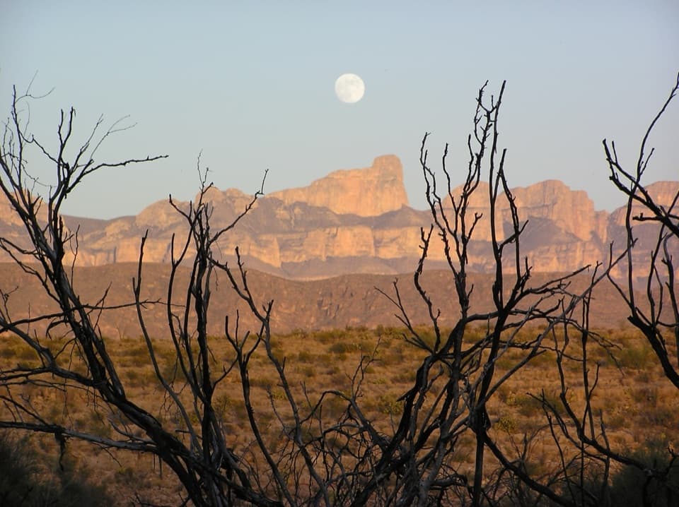
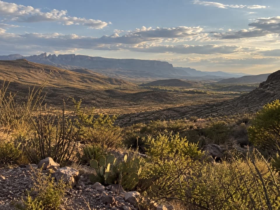
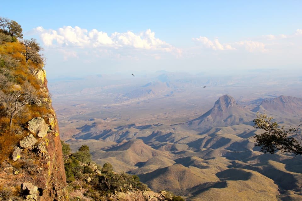
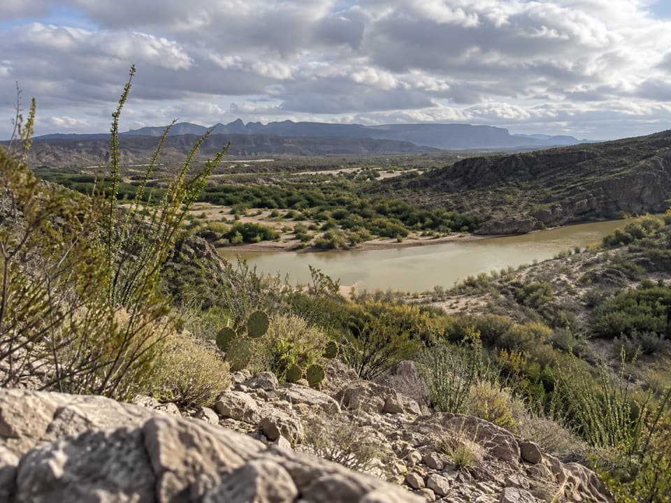
After the boardwalk, the surface changes to dirt and gravel. A short hill has wooden-log steps and uneven footing before opening onto a broad view of the Rio Grande, the Sierra del Carmen in Mexico and the Chisos Mountains. The overlook is the main payoff, but there is little shade on the dry hillside.

How much climbingThe trail is short and commonly described as easy, though the hillside is rougher than the…

The trail is short and commonly described as easy, though the hillside is rougher than the boardwalk. One published trail figure lists 200 feet of elevation change; terrain samples along this mapped route span about 70 feet from low point to high point. The measurement convention behind that difference is unclear, so plan for a short, uneven climb rather than relying on a precise gain figure.

Parking and accessThe trail begins behind campsite 18.

The trail begins behind campsite 18. Trail directions describe two small pullouts at the back of the campground, with space for about four cars. A visitor account instead describes a signed Nature Trail lot before the campground and a roughly 0.5-mile round-trip walk from there. Day-use parking instructions are not consistent, so follow current signs and do not assume campground spaces are available.

Wildlife

Wildlife in Big Bend

All Big Bend wildlife maps

Sighting maps show where each species has been reported across Big Bend. Wildlife moves, so no sighting is guaranteed.

Keep exploring

Near Rio Grande Village Nature Trail

See it all on the map

Trails that start nearby

Places near the trailhead

Parkwolf’s Big Bend ranking

Top-rated trails in Big Bend

All 45 trails
  1. 1South Rim TrailChallenging · 12.5 mi
  2. 2Santa Elena Canyon TrailEasy · 1.6 mi
  3. 3Lost Mine TrailModerate · 4.8 mi
  4. 4Emory Peak TrailChallenging · 10.5 mi
  5. 5The Window TrailModerate · 5.5 mi
  6. 6Grapevine Hills TrailModerate · 2.2 mi

Take Parkwolf to Big Bend.

The audio tour guide for the drive, plus offline maps, trails, and wildlife heatmaps for when the signal drops.

4.7 from 8,600+ ratings

Download Parkwolf on the App StoreGet Parkwolf on Google Play