Parking
Use the Mariscal Rim Trailhead near Talley along River Road. The approach takes about two hours from the paved park road near Rio Grande Village and requires a high-clearance four-wheel-drive vehicle.
Big Bend National Park, TX
A remote desert climb to a sudden canyon-rim view.
Overview
Map & elevation
Plan your hike

The highest, rockiest slopes around here are a summer buffet for grizzly bears.
Big Bend Tour Guide
Parkwolf is a GPS audio tour guide for Big Bend National Park. As you drive, it chimes in with what’s ahead: hidden gems, upcoming stops, history, geology, and wildlife, right through your car’s speakers.
See the Big Bend audio tour“Fantastic app with many points of information… It’s great to just turn on while you’re driving and it gives you an audio tour of the national Park. We love it!!!!”


Trail guide
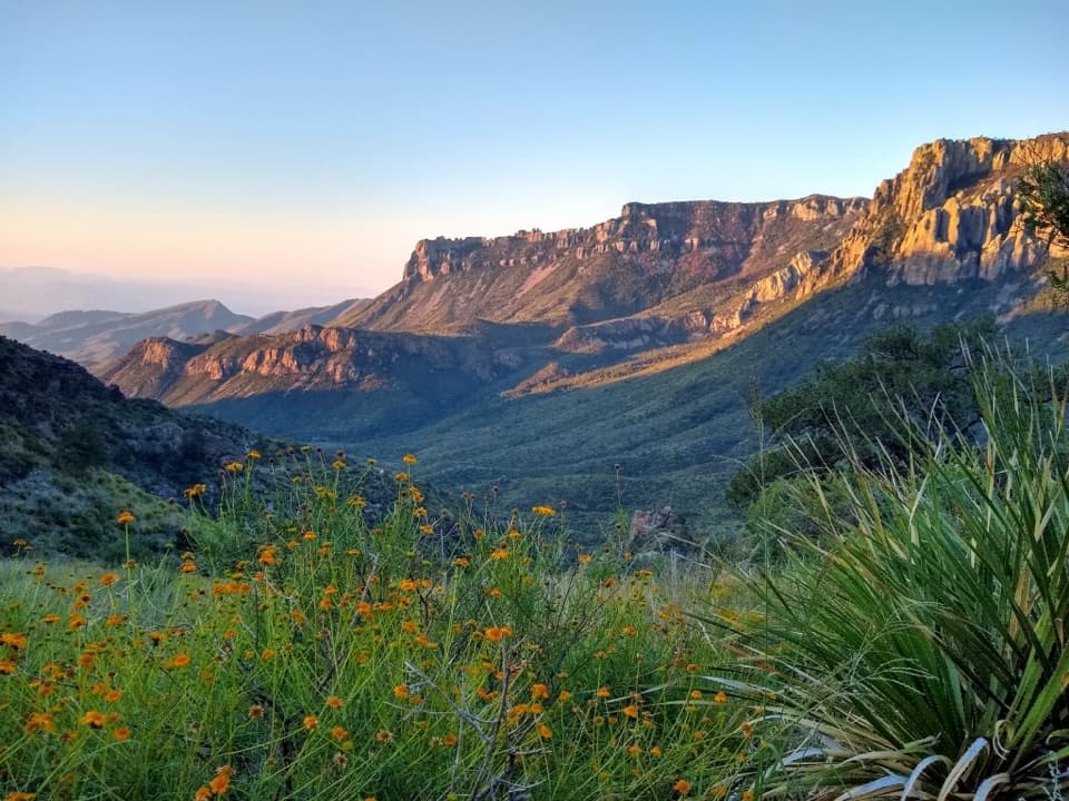
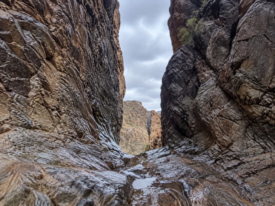
Mariscal Canyon Rim Trail is a 6.5-mile out-and-back from the Talley trailhead to the rim of Mariscal Canyon and back. It crosses open desert, then climbs the western slope of Mariscal Mountain to a sudden, deep view over the Rio Grande. I’d save it for a day when you’re ready for a rough backcountry drive and a real hike; the canyon arrives late, but that reveal is the point.
Allow 3–4 hours on foot. The 6.5 miles are the full round trip; the mapped line follows the trail one way, and you return along it. This route stops at the rim. It isn’t a descent to the river or a longer canyon-crossing hike.
The trailhead near Talley is about two hours from the paved park road near Rio Grande Village, and reaching it requires a high-clearance four-wheel-drive vehicle. There’s no shade or water on the trail. Spring and summer temperatures can exceed 110°F, so start early; in that heat, this exposed walk can become dangerous fast. Pets aren’t allowed on park trails.
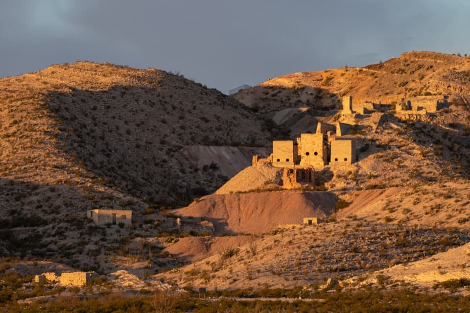
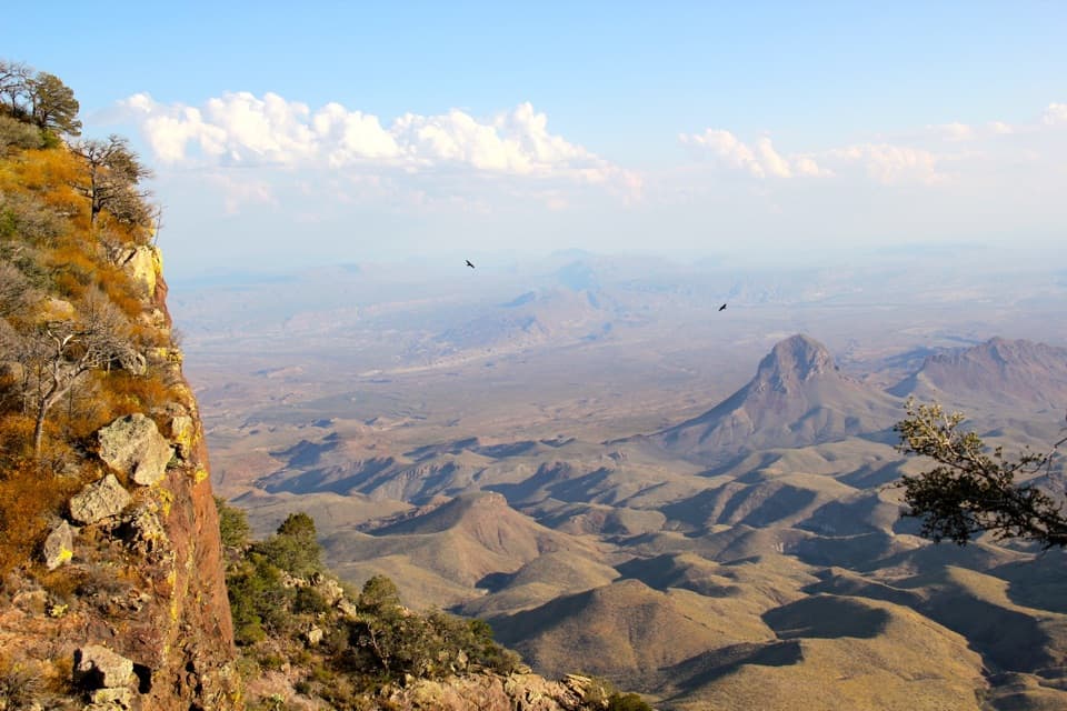
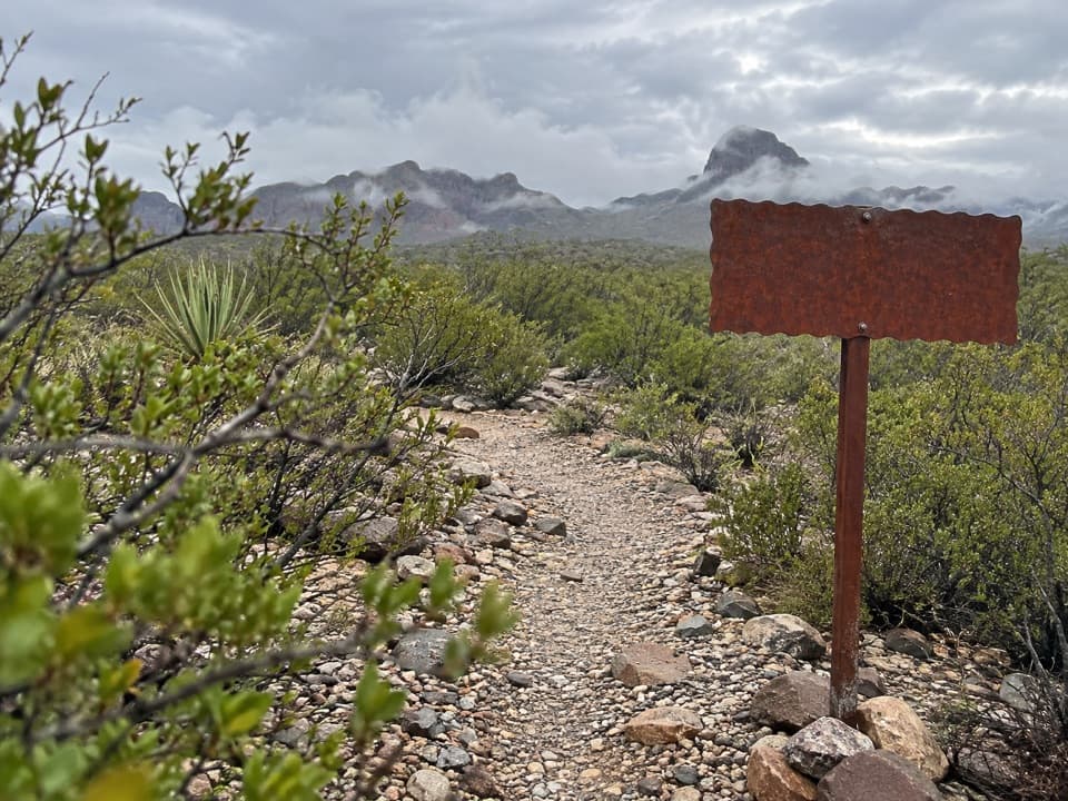
The first roughly 1.5 miles cross open desert over mostly level or gently rolling ground. Views stretch across the low country and toward mountains in Mexico. The route then climbs steeply for about half a mile in a zigzag; cairns help mark the way. Take your time finding the next marker rather than cutting straight up the slope. At the rim, turn around and retrace the route; the descent is steep too.
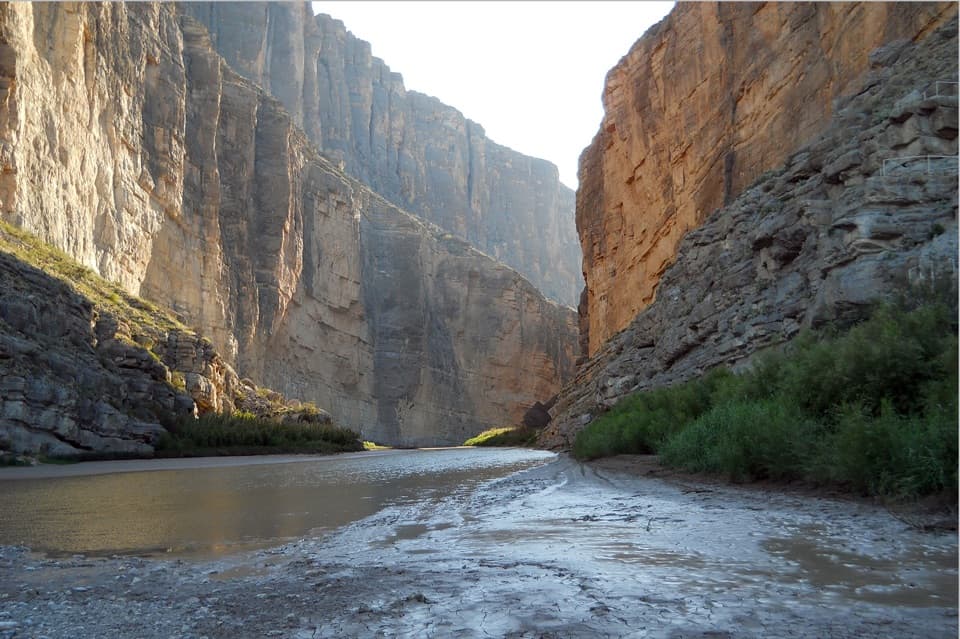
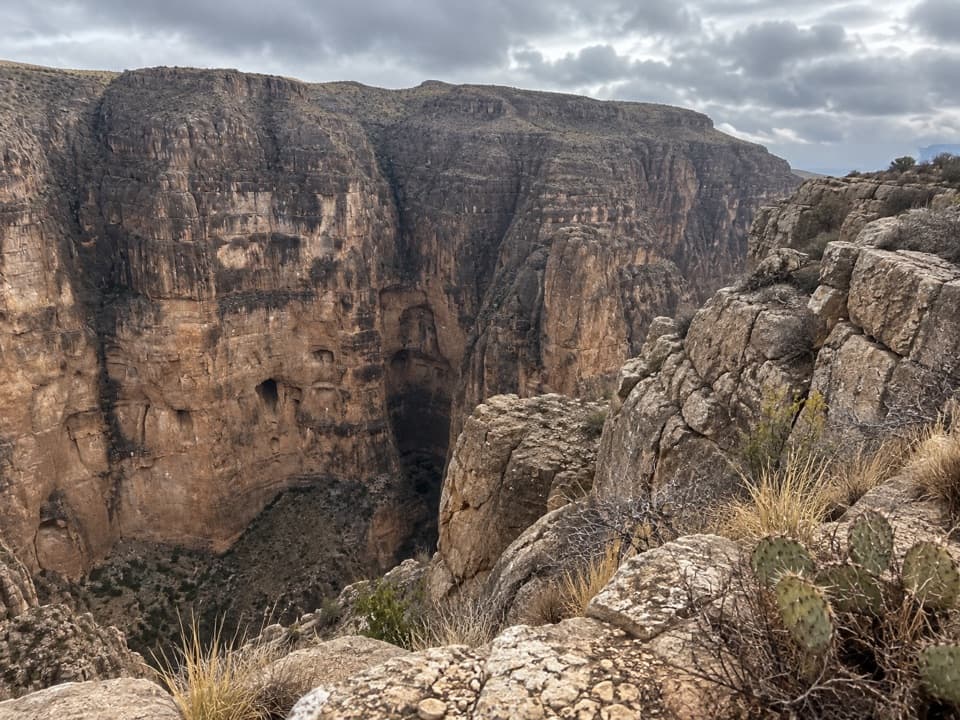
Mariscal Canyon is hard to see from below. At the rim it opens abruptly, with sheer limestone walls dropping about 1,400 feet toward the Rio Grande. Keep back from the edge. A strip of pale rim in the foreground helps show the scale of the gorge in a photo.
The Rio Grande has carved Big Bend’s canyons over the last two million years, and Mariscal Mountain marks the southernmost U.S. extension of the Rockies. The mountain is said to be named for Albino Villa Alfelias, a respected local Mexican resident; in Spanish, mariscal can mean a marshal or a person of standing.
Wildlife
 377 sightingsBlack BearMost seen around 7 PMSighting map
 329 sightingsCollared PeccaryMost seen around 7 PMSighting map
 500 sightingsWhite-tailed DeerMost seen around 7 PMSighting map
 985 sightingsRoadrunnerMost seen around 8 AMSighting map
 228 sightingsRavenMost seen around 5 PMSighting map
 264 sightingsTurkey VultureMost seen around noonSighting map
Sighting maps show where each species has been reported across Big Bend. Wildlife moves, so no sighting is guaranteed.
Keep exploring
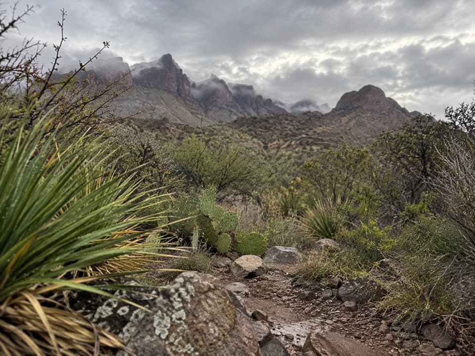 ChallengingDominguez Spring Trail13.5 mi · 7.5 hr · 7 mi awayA long desert walk toward springs that often run dry.
 ModerateElephant Tusk Trail2.9 mi · 2.5 hr · 14.2 mi awayA remote uphill link from the Elephant Tusk trailhead to Dodson.
Parkwolf’s Big Bend ranking

The audio tour guide for the drive, plus offline maps, trails, and wildlife heatmaps for when the signal drops.