
Place · 0 mi away
Easy
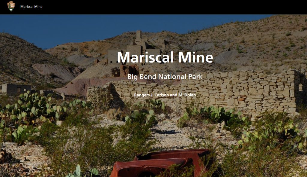
A short, rugged walk to one of Big Bend’s most evocative historic sites, the Mariscal Mine Trail packs a lot into roughly 0.9 miles round trip. You’re hiking through the heart of a former quicksilver (mercury) operation on Mariscal Mountain—industrial archaeology set against wide-open Chihuahuan Desert vistas. Expect a brief but uneven climb and total exposure to sun and wind.
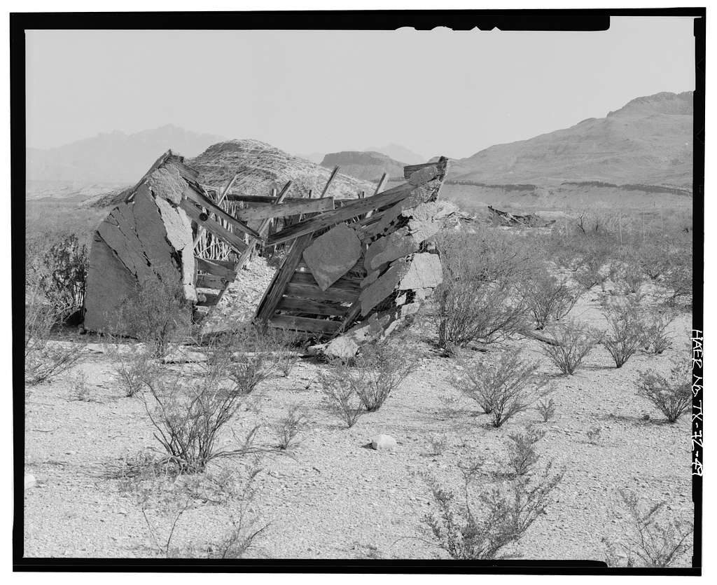
The draw here is the mine complex itself: smelter stacks, refining chimneys, caged-off shafts, foundations of workers’ housing, and scattered equipment. It’s a rare look at early 20th‑century mining where cinnabar ore was processed into mercury. From the ruins, a short extra push up a nearby hill delivers broader views over the desert and interior ranges. The setting is remote and quiet, with an atmosphere that swings between stark industry and big-sky solitude. The site is a National Register Historic District—look, don’t touch.
This is an out-and-back footpath with informal spurs among the ruins. Plan on about 200 feet of elevation gain on rocky dirt and gravel. Getting there is the crux: access is via primitive backcountry roads (notably River Road) deep in the park’s interior. A high-clearance vehicle is strongly recommended, and the drive can be long from paved park hubs. There are no services—bring ample water, sun protection, and time. Pets aren’t allowed on trails. No permit is needed for day hiking; overnight backcountry camping in the area does require a permit.
Fall, winter, and early spring are the smart seasons; summer heat can be dangerous. Start early for cooler temperatures and gentler light on the ruins. Avoid getting stuck out after dark—this is a very isolated corner of the park.
If you’re into history, geology, and remote desert scenery, absolutely—few short walks in Big Bend feel this singular. If you’re seeking a longer, more strenuous objective on the same mountain, the separate Mariscal Rim Trail is a different undertaking entirely. For most visitors prepared for the drive and exposure, Mariscal Mine is a memorable, underrated stop that tells a big part of Big Bend’s story in a small footprint.
Primitive roadside pullout at the mine site off River Road; no services or shade. High-clearance vehicle recommended and allow extra time for the drive.
Deeply remote with a long, rough approach; full sun exposure. Stay out of all buildings and mine shafts—unstable and contaminated. Bring ample water and check road conditions before you go.
Place · 0 mi away
Place · 2.5 mi away
Place · 5.8 mi away
Place · 6.8 mi away
Challenging · 7.4 mi away
Moderate · 12.4 mi away
Easy · 12.6 mi away
Easy · 12.6 mi away

Parkwolf Tour Guide
