Pros & cons
PROS
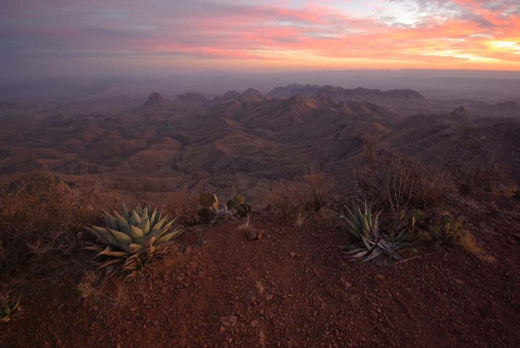
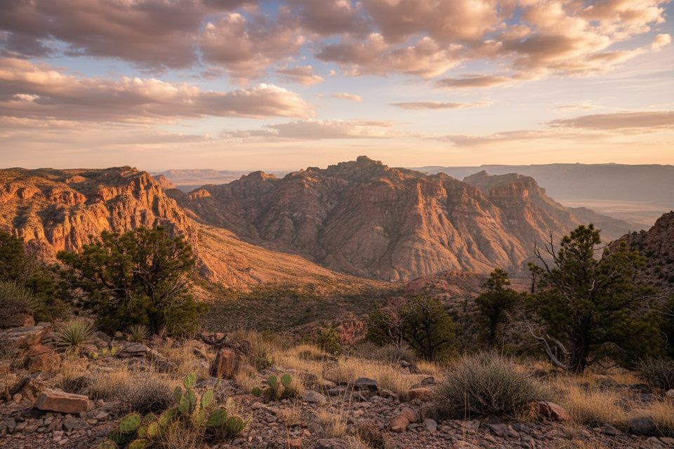
- Sweeping cliff-edge views into the Chihuahuan Desert and Mexico
- Doable as a big day hike or an overnight with rim campsites
- Optional Emory Peak add-on to tag the park’s highest point
CONS
- Long, strenuous, and exposed; heat risk, especially in summer
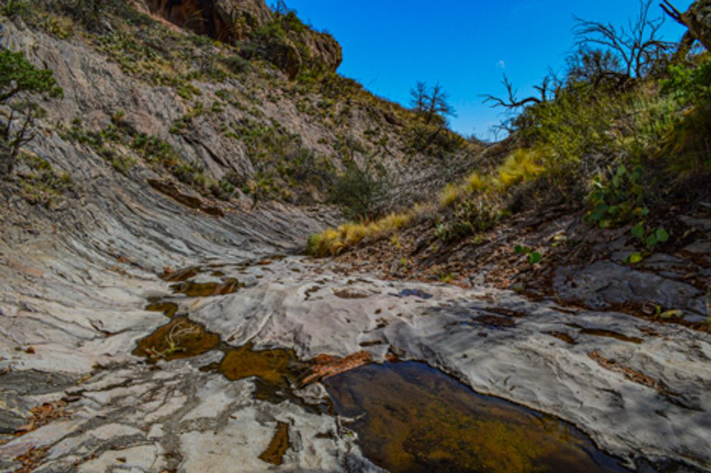
- No reliable water on route; carry everything you need
- Seasonal rim closures can force detours and add miles
Overview
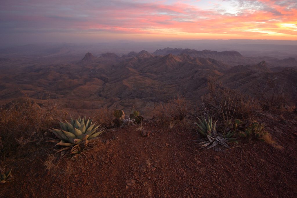
South Rim is the park’s signature rim walk atop the Chisos Mountains—big, wild, and worth every step. Expect dramatic drop-offs with panoramic views that sweep across the Chihuahuan Desert and into Mexico. Most hikers tackle it as a challenging loop of roughly 12–15 miles with about 1,700–1,875 feet of elevation gain. It’s widely considered the classic Big Bend hike and draws day hikers, backpackers, and photographers alike.
Route at a Glance
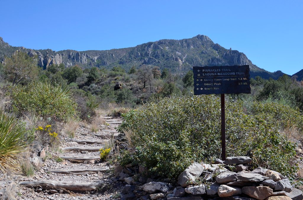
The loop ties together high-country trails—Laguna Meadows, Boot Canyon, and the South/East Rim segments—with multiple ways to link them. Many hikers prefer ascending via the more gradual Laguna Meadows and descending the steeper Pinnacles. The rim itself splits into the Southwest Rim (~2.5 miles) and the Southeast/East Rim (~3.3 miles), divided by Boot Canyon. A short spur near a signed junction delivers the big-payoff, cliff-edge vista. Confident and time-rich hikers sometimes add Emory Peak as a side trip.
What You’ll See
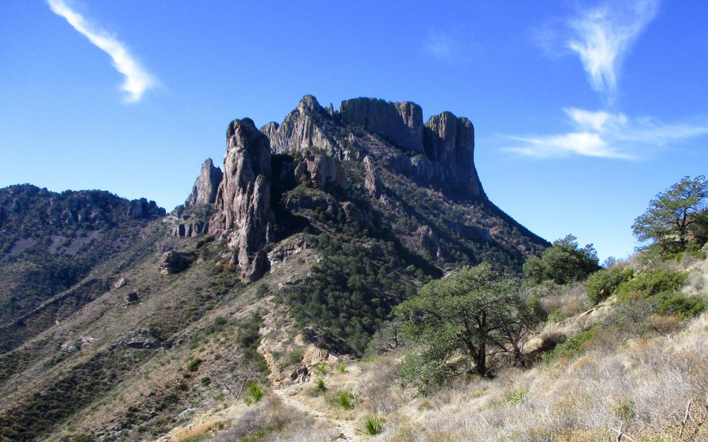
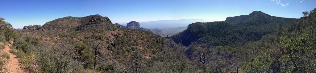
- Cliff-edge overlooks with far-reaching desert and mountain vistas, including into northern Mexico.
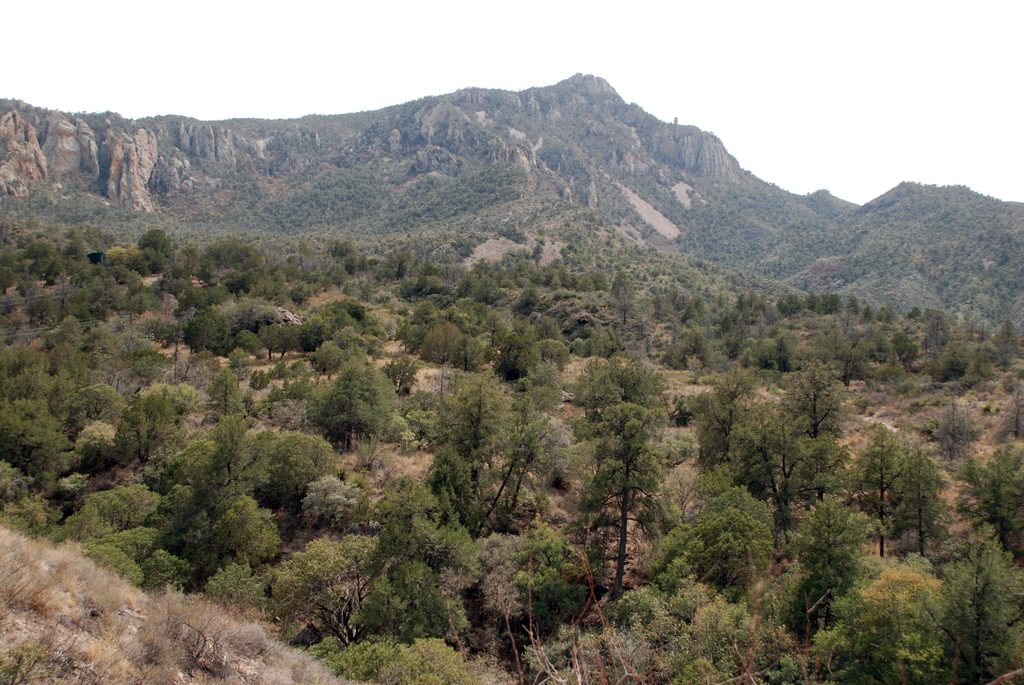
- A variety of terrain en route—forested slopes, canyon bottoms, and open meadows—before the scenery explodes at the rim.
- Designated backcountry campsites tucked near the rim for sunrise/sunset magic (permits required).
Wildlife
Black bears are commonly reported in Boot Canyon and along the rim. You may also encounter mountain lions, mule deer, javelinas, and a rich mix of birdlife. Give wildlife space and keep food secured; know your bear-smart basics before you go.
Planning Essentials
- Water is unreliable—bring everything you need (think 3–4 liters per person for a day hike). Natural sources may be dry.
- Portions of the rim can be closed seasonally; closure notices are posted at junctions. A common workaround uses Boot Canyon to reach the Northeast Rim, but it adds distance (about 2.4 miles) and time.
- Start early. This is a long, exposed effort with serious heat risk in warmer weather.
- Overnighting at designated backcountry sites lets you catch sunrise/sunset and spread the effort over two days.
Best Time to Visit
Aim for cooler seasons and early starts to beat heat and enjoy quieter rim time. Midday is hottest and harshest. For photography, soft light near sunrise and late afternoon brings depth and color to the desert vistas. Expect more company during peak seasons; the earlier you’re moving, the better your day will go.
Where it is
29.2325, -103.2916Tips for South Rim
- 01Start at dawn to stay ahead of heat and crowds.
- 02Ascend Laguna Meadows and descend Pinnacles for a smoother climb.
- 03Carry 3–4 liters of water per person; natural sources are unreliable.
- 04Check posted rim closure notices at junctions before committing.
- 05Add Emory Peak only if you have time and energy to spare.
Amenities
Near South Rim
All places →All trails →
0.7 mi awayBoot CanyonShaded high-country canyon famed for rare Colima WarblersRestroom · Campground
1.2 mi awayEmory PeakHighest point with 360° views and a short summit scrambleScenic Viewpoint
2.4 mi awayCasa GrandeSquare-topped peak with sweeping Basin views and a spicy scramble
2.7 mi awayMountain View RestaurantOnly sit-down dining with big Chisos Basin viewsFood · Restaurant
2.7 mi awayEmory Peak TrailBig Bend’s highest summit with a short, spicy scramble and huge viewsChallenging · 10.5 mi · 7 hr
2.7 mi awayChisos Basin Loop TrailShort, quiet loop with big Chisos views and sneaky good birdingModerate · 1.8 mi · 1 hr
2.7 mi awaySouth Rim LoopCliffside blockbuster with endless Chihuahuan Desert panoramasChallenging · 12.6 mi · 7.5 hr
2.7 mi awayEast Rim TrailQuiet rim, bold desert panorama—worth the long climb.Challenging · 2.4 mi · 9 hr