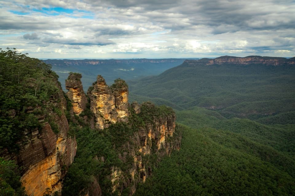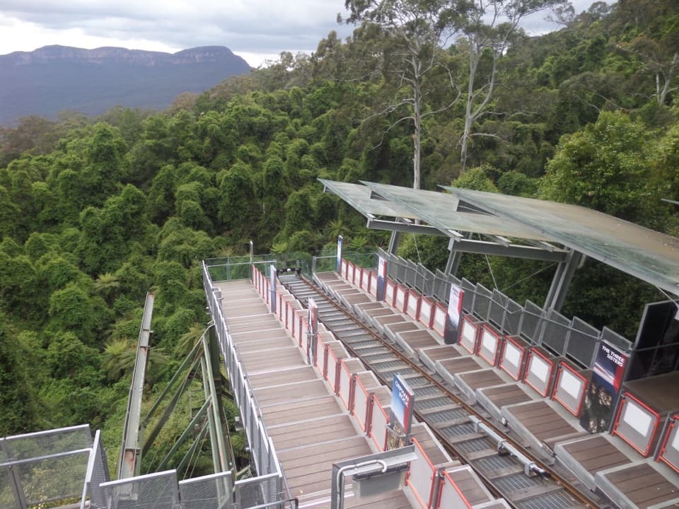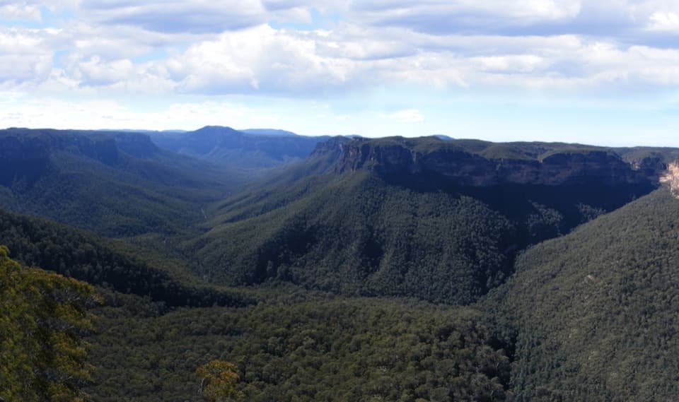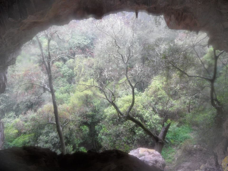
Colong Caves in Blue Mountains National Park

Sight · Blue Mountains National Park

Colong Caves

A permit-only limestone cave for experienced, well-equipped cavers.

Photo: Flickr

Overview

About Colong Caves

Why stop

  • A complex cave system with named chambers and delicate formations for skilled cavers.

Heads up

  • Permit-only access, a remote approach and technical passages rule out casual visits.
Colong Caves is a remote limestone cave system in the southern Blue Mountains, reached from a track at Batsh campground. This is a technical caving destination for people with proper experience and equipment, not a walk-in show cave. NSW National Parks requires a permit from the Wombeyan Caves office.
Parkwolf’s verdictWho should make this trip?

Map

Where it is

Loading the Blue Mountains map
Full map
SightColong Caves-34.12846, 150.11444
Keep this map with you offline in the Parkwolf app

Plan your stop

Before you go

3 active Blue Mountains alerts

  • ClosureRoads and tracks closed across Blue Mountains National ParkMany roads, fire trails and walking tracks across Blue Mountains National Park are closed; do not enter closed areas.Official details
  • CautionPark-wide solid-fuel fire banA park fire ban is active across Blue Mountains National Park: campfires and solid-fuel barbecues and stoves are prohibited. - Gas and electric cookers are permitted, subject to safety rules.Official details

See all 3 alerts
A park ranger sits on a dash-mounted phone, talking, as Parkwolf’s Tour Guide plays “Army Cutworm Moths: A Grizzly Bear Buffet” on Grand Loop Road below Dunraven Pass in Yellowstone
Parkwolf Tour GuideThe highest, rockiest slopes around here are a summer buffet for grizzly bears.

Blue Mountains Tour Guide

Your drive to Colong Caves, narrated.

Parkwolf is a GPS audio tour guide for Blue Mountains National Park. As you drive, it chimes in with what’s ahead: hidden gems, upcoming stops, history, geology, and wildlife, right through your car’s speakers.

See the Blue Mountains audio tour

More stories near here in the app

  • The Sundew's Sticky Dew
  • A Waratah Is a Crowd of Flowers
  • Water That Makes a Cave
  • The Shareholders Who Saved Colong
  • 188 audio storiesacross Blue Mountains’s roads, triggered by GPS as you drive
  • Wildlife heatmapsfor Grey Kangaroo, Wombat, Red-necked Wallaby, and 13 more
  • Works offlinemaps, 110 trails, 84 places, and audio download before you lose signal
  • CarPlay readysimple controls built for the drive
★★★★★
“Fantastic app with many points of information… It’s great to just turn on while you’re driving and it gives you an audio tour of the national Park. We love it!!!!”
JMJamesApp Store review
Download Parkwolf on the App StoreGet Parkwolf on Google Play

4.7 from 8,600+ ratings

Guide

More about Colong Caves

Getting to the cave areaThe approach begins at Batsh campground, off the Oberon–Colong stock route.

The approach begins at Batsh campground, off the Oberon–Colong stock route. A caving party reported about 90 minutes to a small camp below Arch Cave, descending steep Acetylene Spur to Lannigans Creek and then climbing along Caves Creek. Treat that as an older party’s rough timing, not a promise; the route is remote and rugged. The stock route is unsealed, and the Southern Blue Mountains area has no food, fuel or water. Carry supplies for the whole trip, plus spare tyres and recovery gear. Use the Oberon or Goulburn approach; access through Burragorang Valley is restricted.

What the caves are likeInside, the system links named chambers and passages including Piano Cave, Onslow Cave, Kings…

Inside, the system links named chambers and passages including Piano Cave, Onslow Cave, Kings Cross Chamber, High Passage, Terraces Cave, Amber Cave and Woofs Cavern. The route described by cavers includes narrow squeezes, crawling and tricky passages, with wrong turns and backtracking possible. This is a trip for a competent party that can navigate underground, not a place to explore alone or without the required permit and gear.

A large system still being exploredColong is a branching limestone system with delicate shawl formations in Piano Cave.

Colong is a branching limestone system with delicate shawl formations in Piano Cave. A 1984 account described its main cave as the longest and most complex single cave in NSW and the country’s third longest; later surveying found it more extensive than earlier maps suggested. Leave every formation untouched and carry out everything you bring in.

Wildlife

Wildlife in Blue Mountains

All Blue Mountains wildlife maps

Sighting maps show where each species has been reported across Blue Mountains. Wildlife moves, so no sighting is guaranteed.

Parkwolf’s Blue Mountains ranking

Top sights in Blue Mountains

All 84 places
  1. 1Echo Point Lookout (Three Sisters)Sight
  2. 2Govetts Leap lookoutSight
  3. 3Wentworth FallsSight
  4. 4Scenic WorldSight
  5. 5Katoomba FallsSight
  6. 6Evans lookoutSight

Take Parkwolf to Blue Mountains.

The audio tour guide for the drive, plus offline maps, trails, and wildlife heatmaps for when the signal drops.

4.7 from 8,600+ ratings

Download Parkwolf on the App StoreGet Parkwolf on Google Play