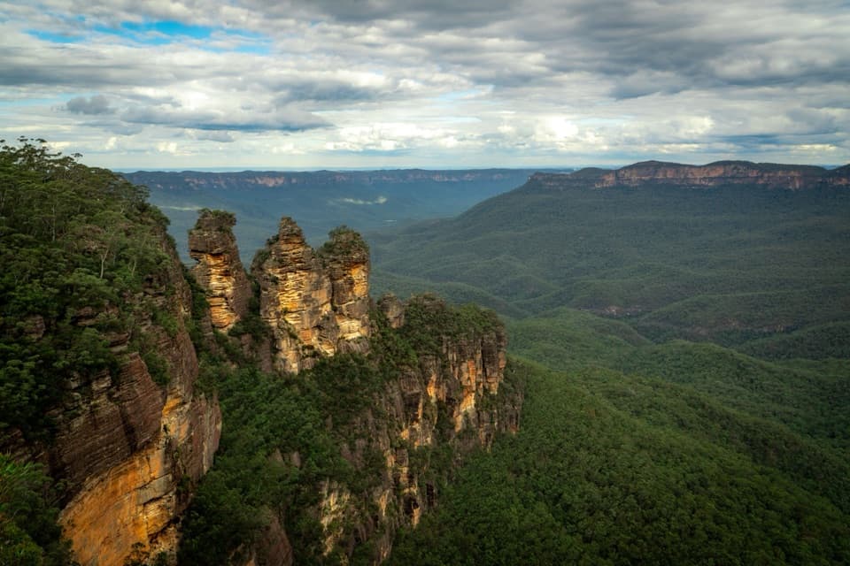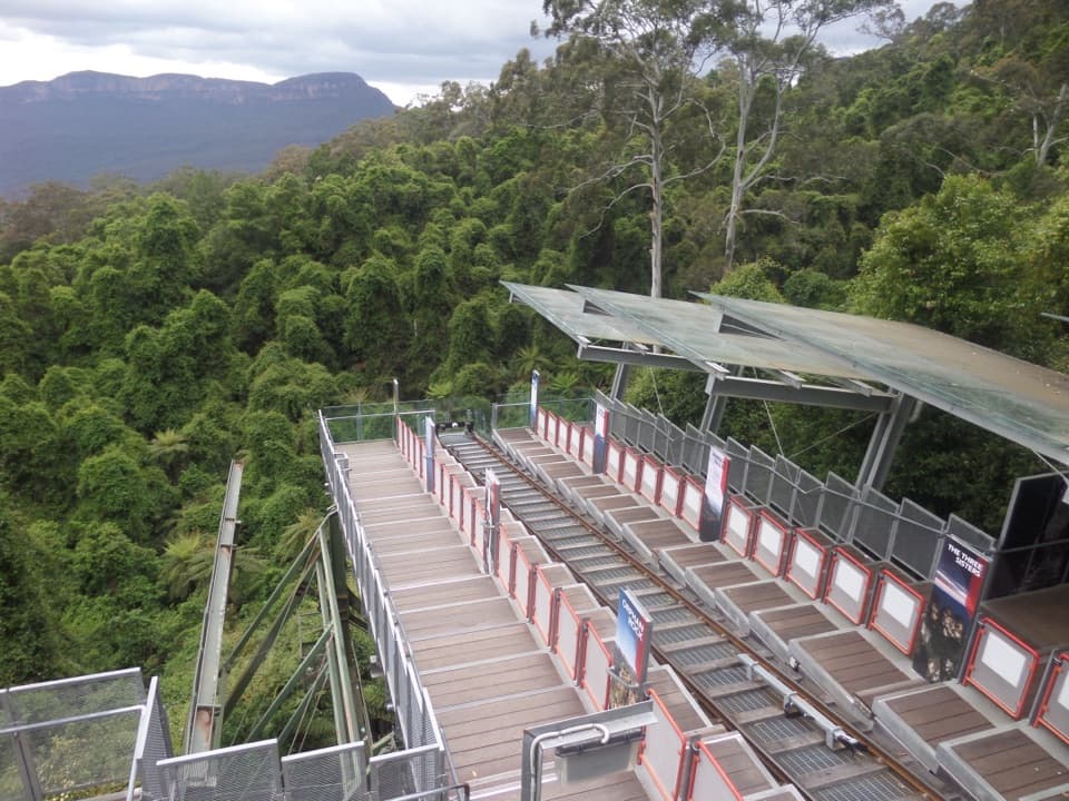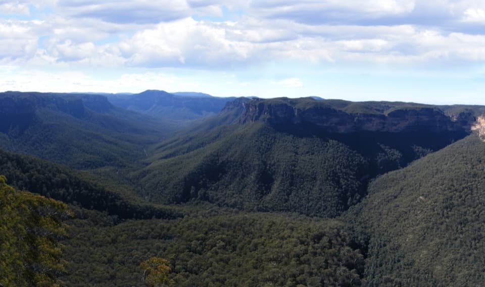
McMahons Point lookout in Blue Mountains National Park

Sight · Blue Mountains National Park

McMahons Point lookout

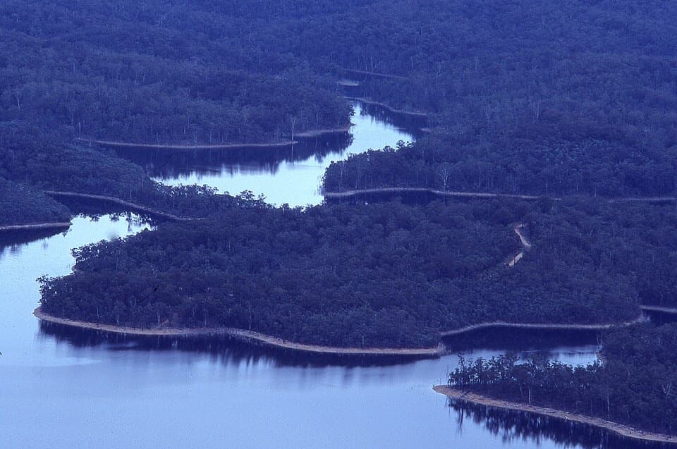
Two lookouts trade a long approach for wide views of Lake Burragorang.

Photo: Wikimedia Commons
Type
Sight
Audio stories
2 nearby
  • Parking
  • Restrooms
  • Picnic tables
  • Scenic viewpoint
  • #31 of 63 sights

Hear the audio tour

McMahons Point above Lake Burragorang

Overview

About McMahons Point lookout

Why stop

  • Two walk-in lookouts reward the long approach with a sweeping reservoir view.

Heads up

  • The remote, 21 km unsealed approach makes this a full outing.

Map

Where it is

Loading the Blue Mountains map
Full map
SightMcMahons Point lookout-33.89052, 150.38296
Keep this map with you offline in the Parkwolf app

Plan your stop

Before you go

The road takes planning

From the Old Queen Victoria Hospital junction, the final 21 km follows unsealed Kings Tableland Road through forest and heath to the car park. The road can be boggy and potholed. A 2WD can get through in dry weather, but 4WD is recommended, especially after rain, and required when wet. Mobile reception is limited, so check road and weather conditions before leaving.

3 active Blue Mountains alerts

  • ClosureRoads and tracks closed across Blue Mountains National ParkMany roads, fire trails and walking tracks across Blue Mountains National Park are closed; do not enter closed areas.Official details
  • CautionPark-wide solid-fuel fire banA park fire ban is active across Blue Mountains National Park: campfires and solid-fuel barbecues and stoves are prohibited. - Gas and electric cookers are permitted, subject to safety rules.Official details
See all 3 alerts
A park ranger sits on a dash-mounted phone, talking, as Parkwolf’s Tour Guide plays “Army Cutworm Moths: A Grizzly Bear Buffet” on Grand Loop Road below Dunraven Pass in Yellowstone
Parkwolf Tour GuideThe highest, rockiest slopes around here are a summer buffet for grizzly bears.

Blue Mountains Tour Guide

Your drive to McMahons Point lookout, narrated.

Parkwolf is a GPS audio tour guide for Blue Mountains National Park. As you drive, it chimes in with what’s ahead: hidden gems, upcoming stops, history, geology, and wildlife, right through your car’s speakers.

See the Blue Mountains audio tour

Recorded for this place

McMahons Point above Lake Burragorang
0:00 / 0:32
“You're approaching McMahons Point lookout, where Lake Burragorang winds between forested ridges far below.”

Plays as you drive up to McMahons Point lookout in the Parkwolf Blue Mountains Tour Guide.

More stories near here in the app

  • The Banksia's Wooden Capsules
  • The Valley Beneath the Lake
  • The Lyrebird's Other Talent
  • Who Wrote on the Gum Tree?
  • 188 audio storiesacross Blue Mountains’s roads, triggered by GPS as you drive
  • Wildlife heatmapsfor Grey Kangaroo, Wombat, Red-necked Wallaby, and 13 more
  • Works offlinemaps, 110 trails, 84 places, and audio download before you lose signal
  • CarPlay readysimple controls built for the drive
★★★★★
“Fantastic app with many points of information… It’s great to just turn on while you’re driving and it gives you an audio tour of the national Park. We love it!!!!”
JMJamesApp Store review
Download Parkwolf on the App StoreGet Parkwolf on Google Play

4.7 from 8,600+ ratings

Guide

More about McMahons Point lookout

A remote pair of lookoutsMcMahons Point is a pair of lookouts above Lake Burragorang at the end of Kings Tableland Road.

McMahons Point is a pair of lookouts above Lake Burragorang at the end of Kings Tableland Road. The main viewpoint is an 800 m walk from the car park; a second, unnamed lookout is reached on a 200 m track past the picnic tables. Save it for a day when the journey is part of the plan: this is a remote outing, not a quick roadside stop.

Lake, forest and scaleThe main lookout sits about 500 m above Lake Burragorang, a reservoir that supplies most of…

The main lookout sits about 500 m above Lake Burragorang, a reservoir that supplies most of Sydney’s water. The broad view takes in water winding between forested ridges. For a photo, keep both the lake and its wooded shore in frame; the land shapes help show the reservoir’s scale. Stay at the lookout: access beyond it is prohibited because this is a protected water-supply catchment.

Bring a picnic and waterThere’s limited parking, a non-flush toilet and picnic tables near the lookouts.

There’s limited parking, a non-flush toilet and picnic tables near the lookouts. Bring drinking water for the drive; the tables make a good place to pause for a packed lunch before heading back.

Wildlife

Wildlife in Blue Mountains

All Blue Mountains wildlife maps

Sighting maps show where each species has been reported across Blue Mountains. Wildlife moves, so no sighting is guaranteed.

Parkwolf’s Blue Mountains ranking

Top sights in Blue Mountains

All 84 places
  1. 1Echo Point Lookout (Three Sisters)Sight
  2. 2Govetts Leap lookoutSight
  3. 3Wentworth FallsSight
  4. 4Scenic WorldSight
  5. 5Katoomba FallsSight
  6. 6Evans lookoutSight

Take Parkwolf to Blue Mountains.

The audio tour guide for the drive, plus offline maps, trails, and wildlife heatmaps for when the signal drops.

4.7 from 8,600+ ratings

Download Parkwolf on the App StoreGet Parkwolf on Google Play