
Place · 0.1 mi away
Moderate
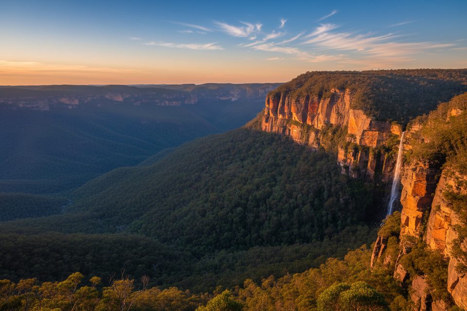
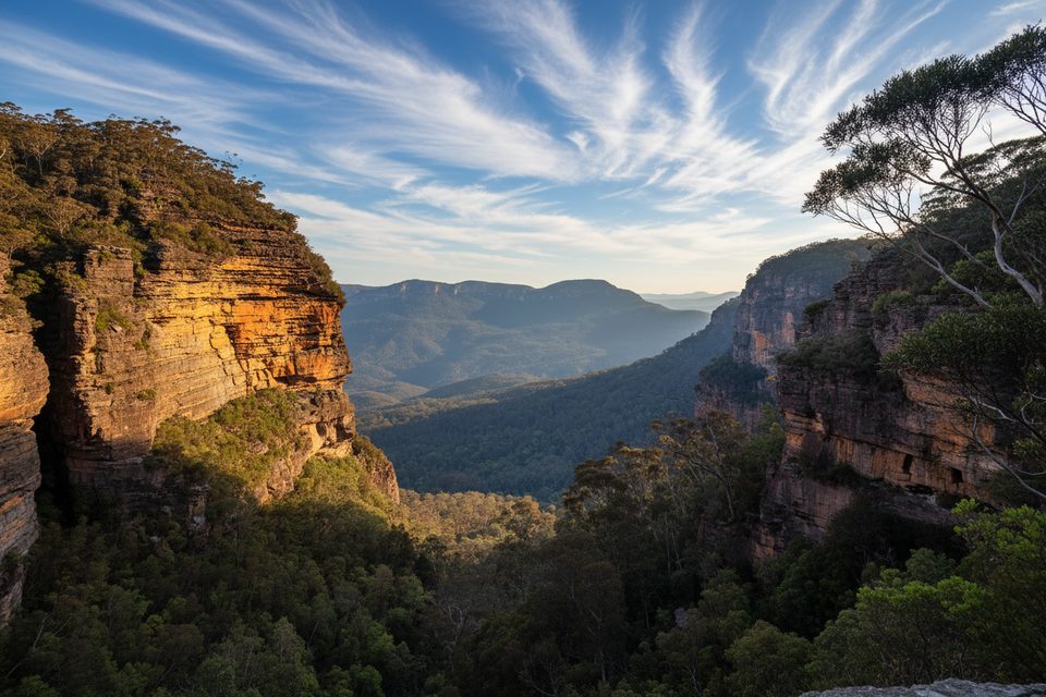
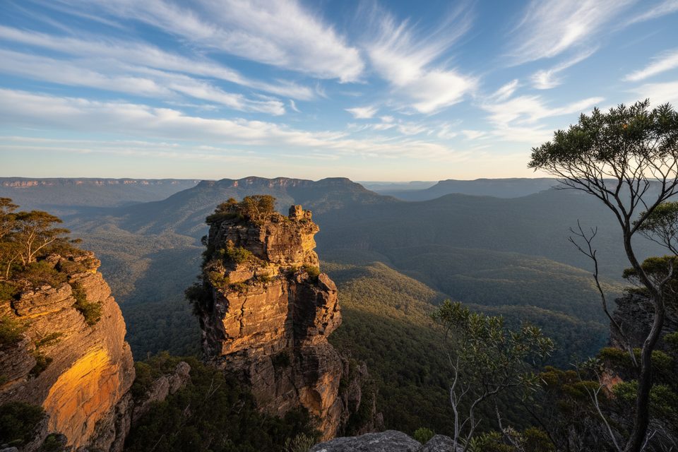
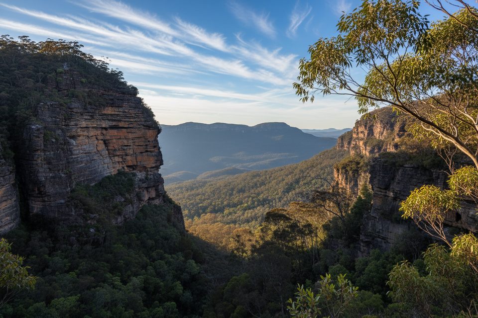
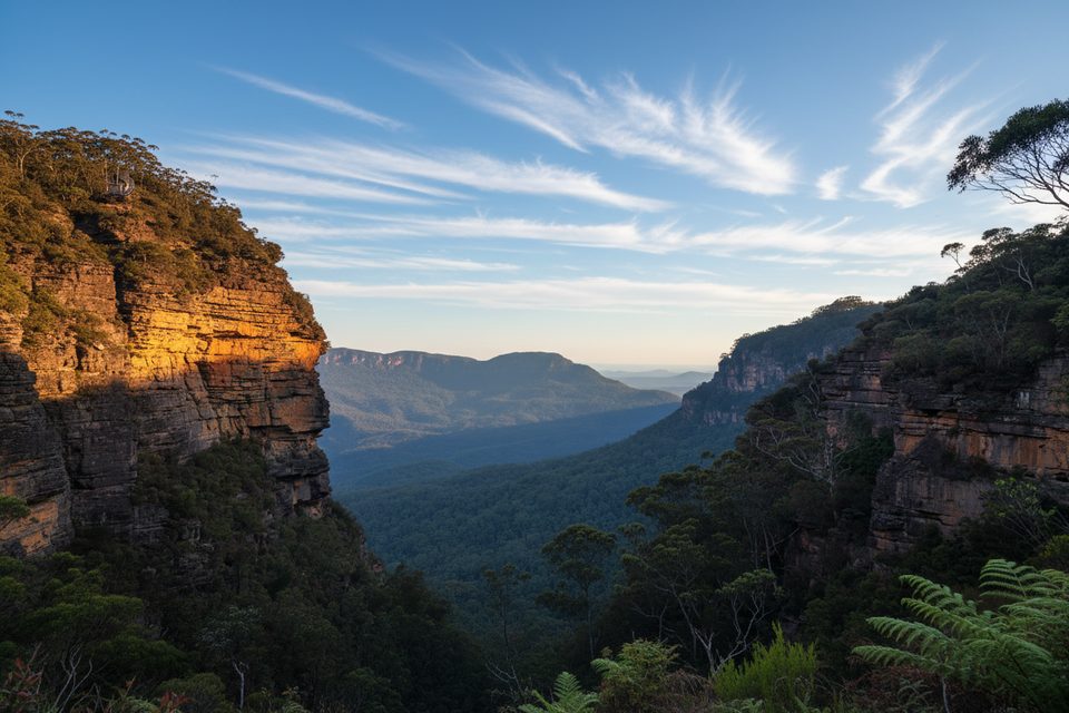
Leura Forest Track drops from the clifftops above Leura/Katoomba into the cool, vividly green heart of the Jamison Valley. Expect a dramatic shift from big sandstone cliff views to deep shade, ferny gullies, and moss-covered forest on the valley floor. It’s a classic Blue Mountains experience: memorable, beautiful, and leg-testing.
There isn’t a single “official” stat set because the track is used in several ways. A popular option is a return walk of about 6.7 km (4.2 miles total) from the Scenic Railway down to Leura Forest and back. Many hikers instead start up on Cliff Drive (Carrington Park/Echo Point or Leura Cascades), descend the Giant Stairway or Fern Bower, traverse to Leura Forest, then climb back out—those loops and traverses are longer and steeper. Your distance and time will vary depending on which combination of passes you use.
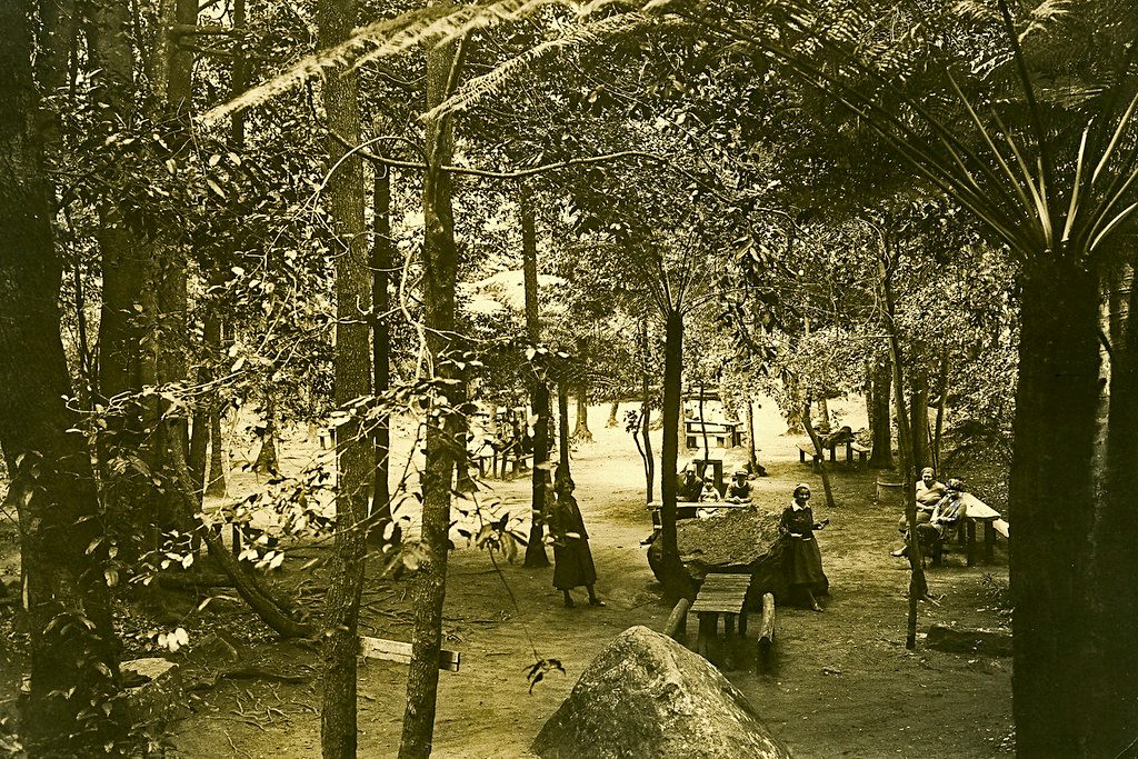
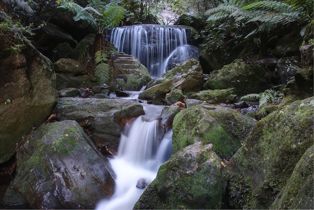
On the way down you’ll trade cliff-edge vistas for rainforest ambience—tree ferns, towering eucalypts, and damp, mossy understory. The valley track itself is shaded and quiet, with small creeks, cascades, and the historic feel of old valley routes (including sections of Federal Pass and Dardanelles Pass). Leura Forest has picnic tables tucked among the greenery, making it a lovely lunch stop far from the clifftop crowds.
Expect many steps and steep gradients, especially if you use the Giant Stairway or other passes. Underfoot is a formed dirt/rock path with long stair runs and occasional wet, slippery sections after rain. Fitness matters here—not so much for technicality as for the sustained up/down. Older kids with supervision do fine; it’s not suitable for prams or mobility devices.
This is a year-round walk. Spring and autumn are the sweet spot for comfort. Summer heat is tempered by deep shade on the valley floor. In winter, cool, misty air adds atmosphere—just expect wetter steps. Weekdays see fewer people; the forest is usually quieter than the clifftops regardless.
Yes—if you’re up for stairs. The contrast between sweeping cliff views and the “unbelievably green” calm of Leura Forest is peak Blue Mountains. If you only want vistas with minimal effort, stick to the clifftop lookouts; if you want the full canyon-to-forest immersion, this track delivers.
Park near Carrington Park/Echo Point on Cliff Drive or at Leura Cascades; check local signage—fees may apply at some car parks.
Many steep, slippery steps (especially when wet); valley is cool and damp year-round; no toilets or drinking water in Leura Forest; allow time and energy for the climb out; fees apply if using the Scenic Railway.
Place · 0.1 mi away
Place · 0.2 mi away
Place · 0.2 mi away
Place · 0.3 mi away
Challenging · 0.3 mi away
Moderate · 0.3 mi away
Easy · 0.3 mi away
Challenging · 0.3 mi away

Parkwolf Tour Guide
