
Place · 0.5 mi away
Easy
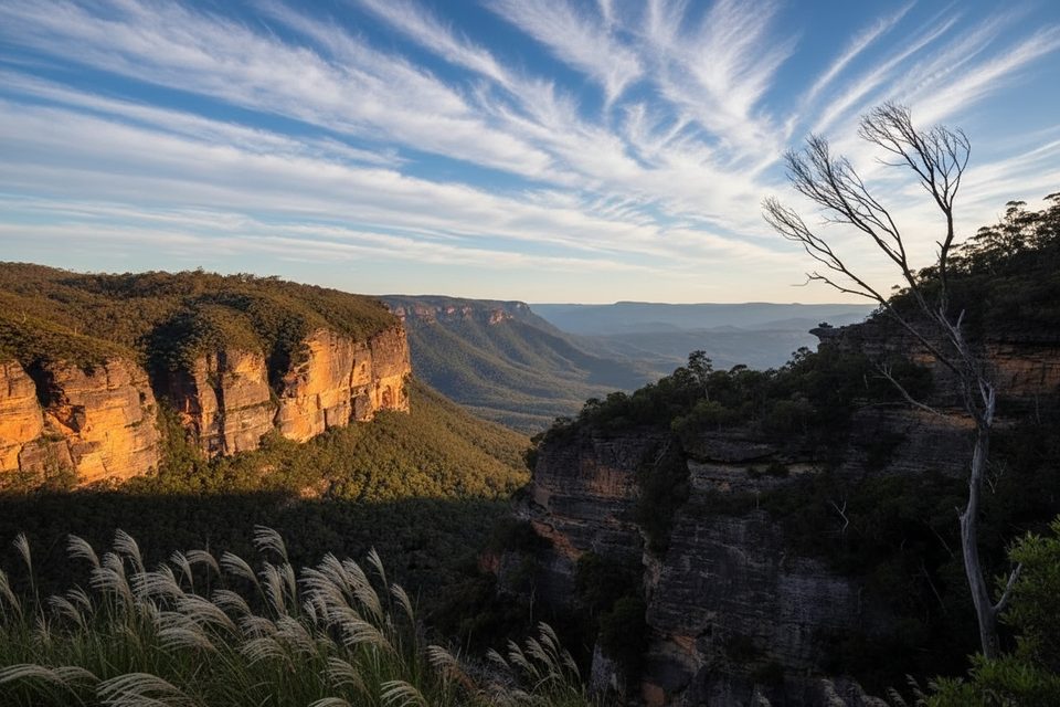
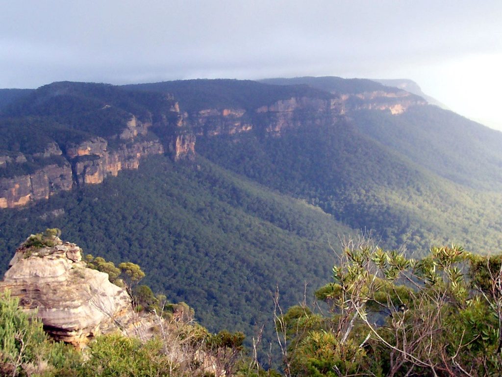
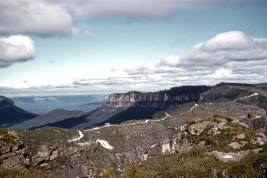
This is a short, view-forward cliff-top walk west of Katoomba that leads to Nellies Glen Lookout, with an optional spur to Therabulat Lookout. Expect classic Blue Mountains drama: sandstone escarpments, deep Megalong Valley vistas, and airy edges. It’s straightforward, well-formed, and friendly to newer walkers—just keep a healthy respect for the unfenced cliff lines.
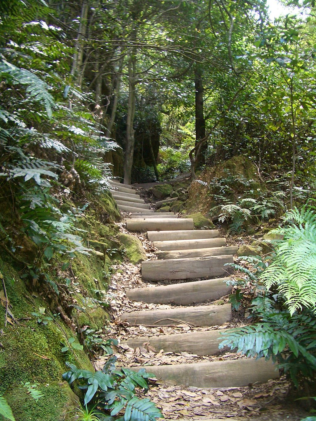
The track threads through eucalypt bush and heath, on mostly natural surface with some steps and gentle descents. It’s an out-and-back of roughly 1.4 miles total (about 0.7 mile each way), and most walkers take about an hour return including time to soak up the views. Near the top, you’re walking the rim—great sightlines, minimal effort. A short side detour to Therabulat Lookout adds a different angle on the valley and cliffs.
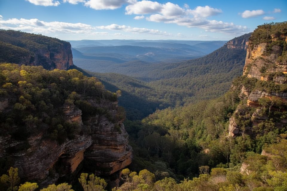
You’re overlooking the Megalong Valley, framed by sheer Permian–Triassic sandstone walls and forested slopes. In cooler months, mists can hang in the gullies; in warmer seasons the bush is lush and birdlife is active. The route sits near the former site of the Explorers Tree, tying the experience to early Blue Mountains crossing history.
Trail access aligns with the Explorers Tree/Pulpit Hill area: start near the junction of Pulpit Hill Road and the Six Foot Track, or approach from Farnells Road via the signed “Cliff Track.” Facilities are limited—there are no toilets or water on the track—so arrive self-sufficient.
Year-round works here. Autumn and spring bring the most comfortable temperatures and wildflower interest. Winter can be cool and misty (great atmosphere for photos), while summer delivers vibrant greenery and active birdlife. Aim for early morning or late afternoon for softer light on the valley walls.
If this whets your appetite, the same area connects to the multi-day Six Foot Track into Megalong Valley. For a longer day without committing to the full descent, simply add the spur to Therabulat Lookout and linger at the lookouts.
Start near Pulpit Hill Rd/Six Foot Track by the Explorers Tree area, or from Farnells Rd at the signed “Cliff Track.” Street-side access; no toilets or water at the trailhead.
Unfenced cliff edges and exposed lookouts; supervise children and keep well back from edges. Some steps and gentle descents require sure footing.
Place · 0.5 mi away
Place · 1.3 mi away
Place · 1.6 mi away
Place · 1.6 mi away
Challenging · 0 mi away
Challenging · 1.3 mi away
Moderate · 1.6 mi away
Moderate · 1.6 mi away

Parkwolf Tour Guide
