Challenging

Six Foot Track

Classic three-day traverse of valleys, rivers, ridges, and history.
Six Foot Track, Blue Mountains National Park
Distance28.6 mi
Typical time16 hr
DifficultyChallenging
PetsNot allowed

Overview

The Six Foot Track is a historic point‑to‑point bushwalk linking Katoomba to the Jenolan Caves area. Expect roughly 44–46 km (about 27–28.6 miles) one way, most commonly done over three days with two overnight camps. It follows the old 19th‑century bridle path, mixing singletrack, fire trails, and farm/vehicle tracks. NSW National Parks describes it as a Grade 4 (hard) walk—long, steep in places, and best suited to prepared hikers.

What you’ll see

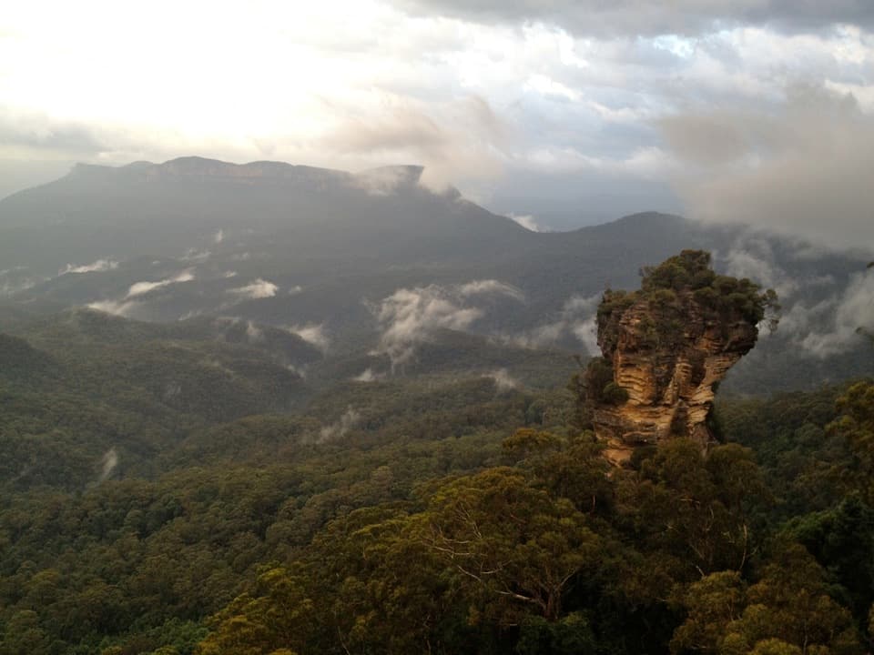
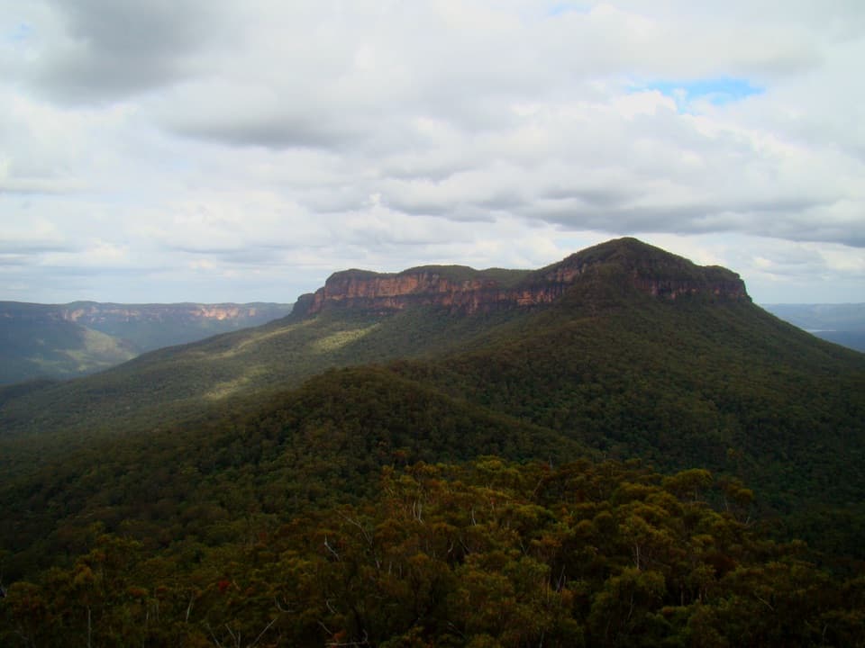
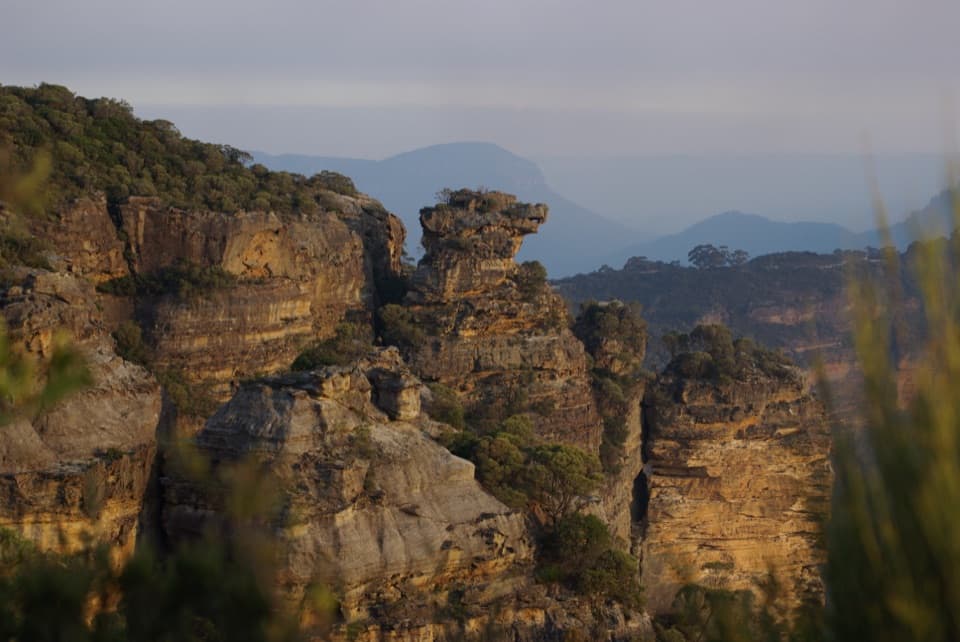
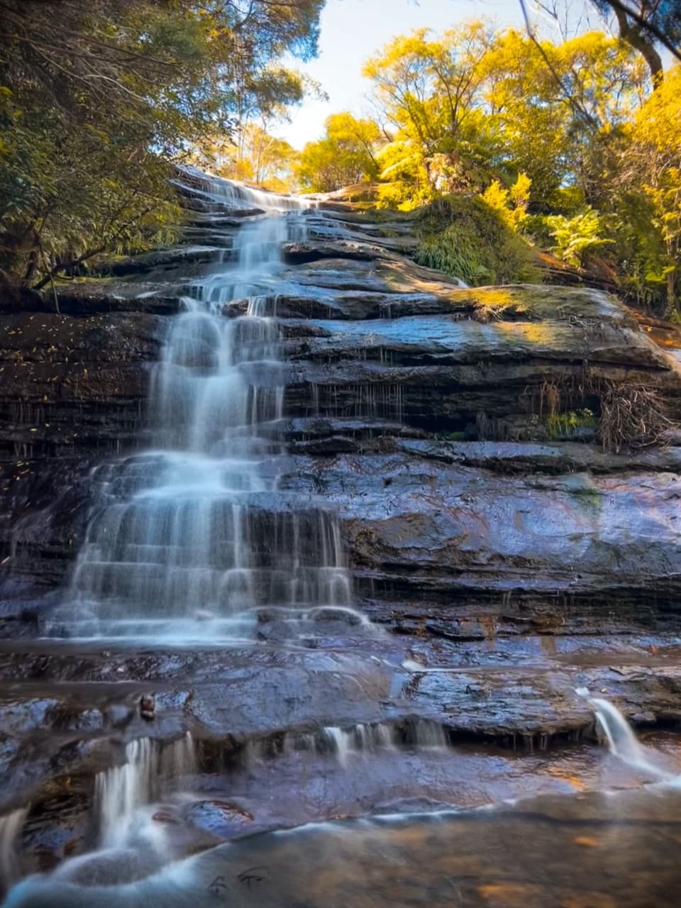
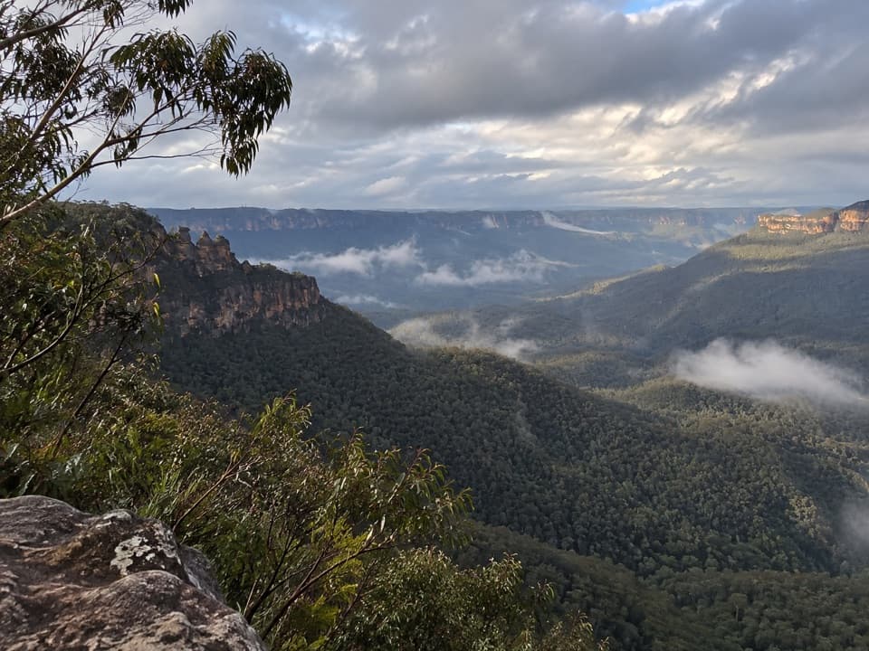
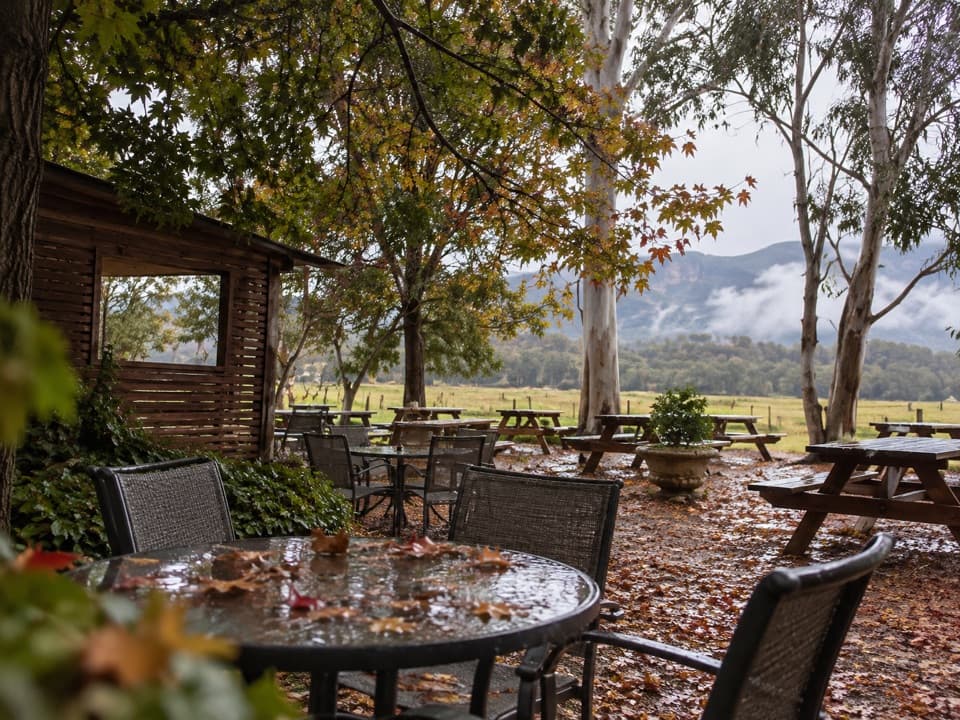
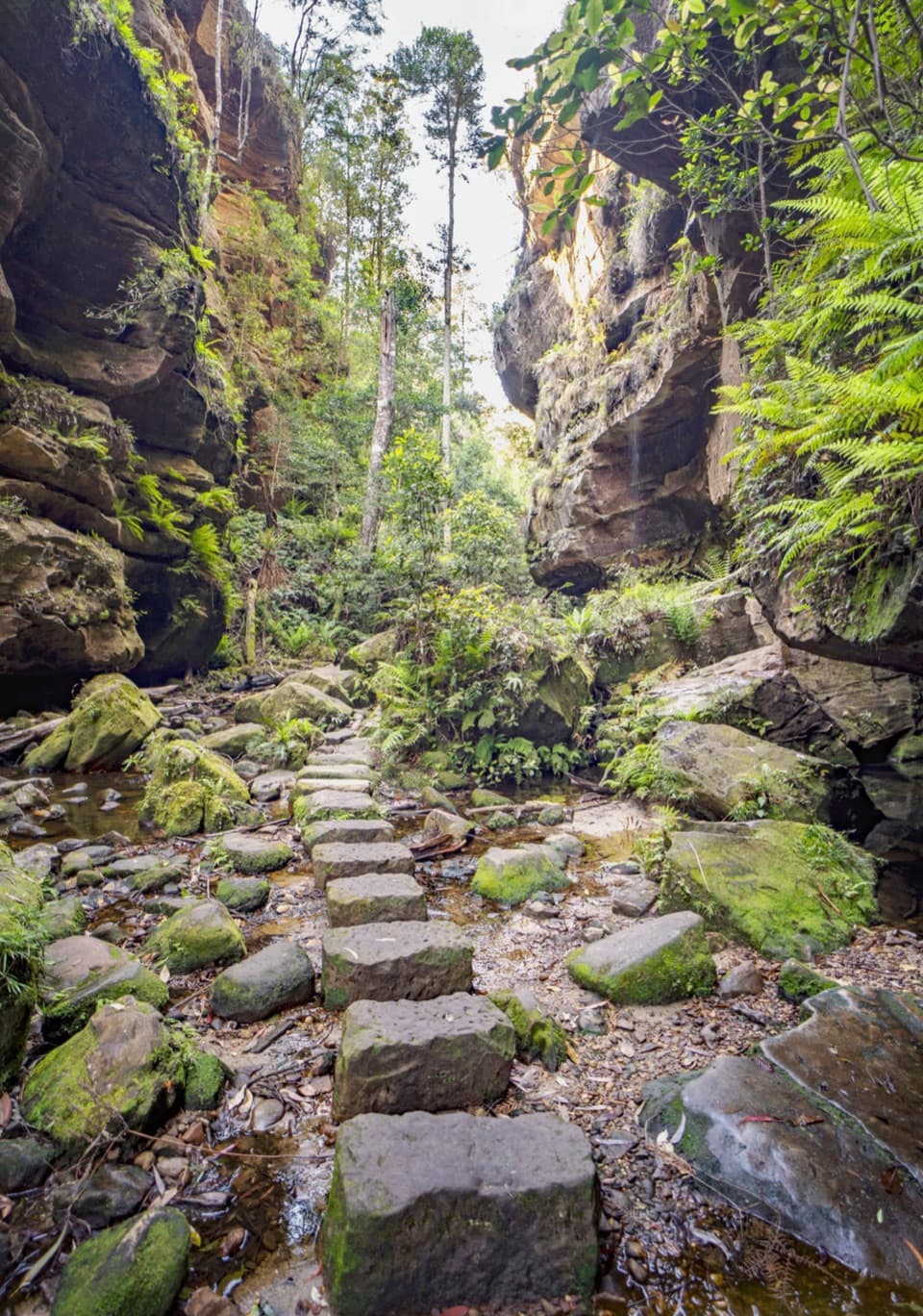
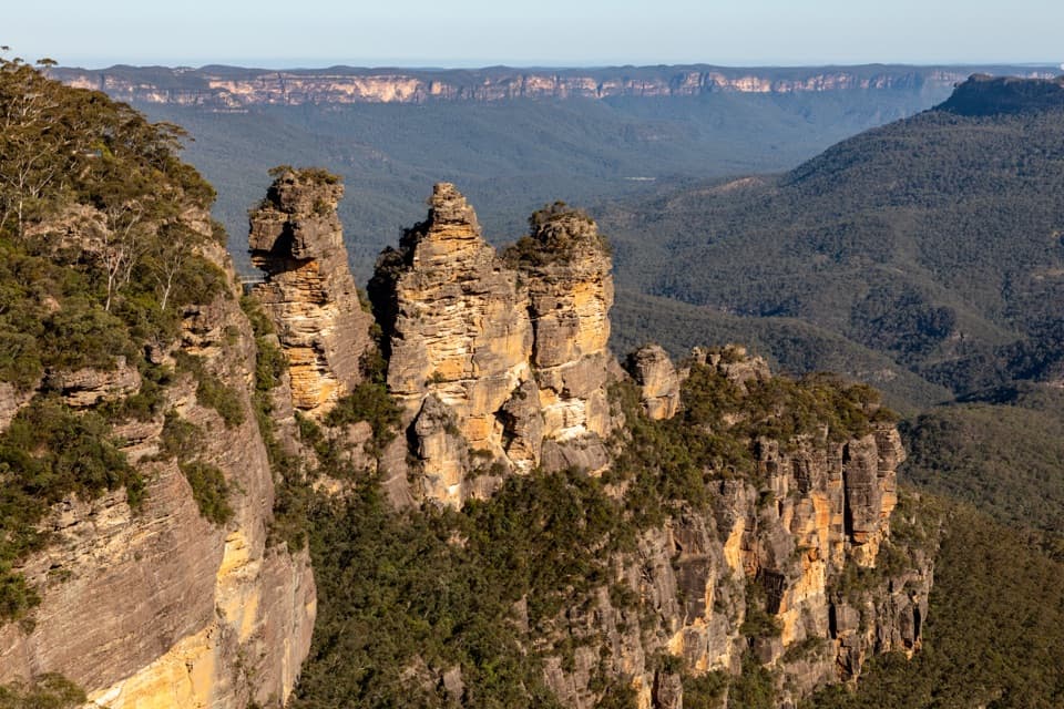
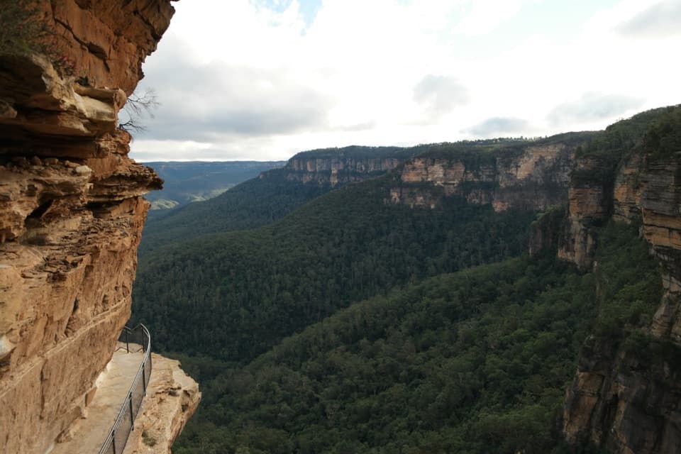
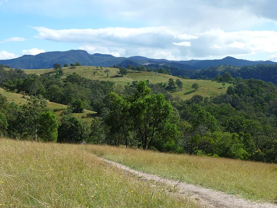
This is a proper Blue Mountains journey: descend from the Katoomba escarpment (near the former Explorers Tree) into bushland and the Megalong Valley’s rural landscapes, then on to river country and forested ranges en route to the Jenolan precinct. The variety is the draw—heathland, open woodland, and pockets of rainforest, punctuated by classic sandstone escarpments, deep valleys, and river gorges. Coxs River is the headline moment, with the Bowtells Swing Bridge offering a thrilling, dry crossing when the river is up. Remote sections reward you with big starry nights from camp.

Trail character and difficulty

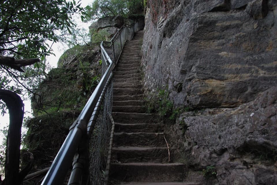
Don’t underestimate the terrain. You’ll tackle sustained climbs and descents (notably Nellies Glen early on and the long grind to Black Range later). Elevations span roughly 267 m to 1,213 m, and while total ascent figures vary by source, it’s a hilly, endurance‑style walk. Wayfinding is generally straightforward but junctions can be confusing—stay alert where the route uses roads or management trails. Some sections can be muddy or boggy after rain.

Camps, logistics, and rules

There are designated camp options along the way, including quieter vehicle‑free spots like Allum Creek Reserve. It’s a point‑to‑point track, so sort transport at both ends before you start; many hikers run a car shuffle or arrange pickup near the Jenolan side. No hiking permit is required, but NSW National Parks recommends lodging a trip intention form. You can hire a Personal Locator Beacon for free from the Blue Mountains Heritage Centre in Blackheath. Pets are not permitted.

Is it for you?

If you want a classic Australian multi‑day with real distance, honest climbs, and a dose of history, this is a great pick. If you’re after uninterrupted singletrack wilderness, know that some fire‑road stretches can dilute the wild feel. Fit trail runners sometimes do it in a very long day, but most walkers enjoy it over three.

Best time to hike

Autumn and spring bring the most comfortable temps and generally friendlier weather. Summer can be hot with fire risk and reduced water in places; winter offers crisp, clear days but cold nights—pack accordingly. Start early each day for cooler temps and better light through the valleys, and always check the forecast before committing to river country.

Pros

  • Suspension bridge over Coxs River keeps you dry when the ford is up
  • Surprisingly dark skies for excellent stargazing from remote camps

Cons

  • Significant fire road sections reduce the wilderness feel in places
  • Point‑to‑point logistics are tricky without a prearranged pickup

Parking

Begin near the former Explorers Tree trailhead on the outskirts of Katoomba off the Great Western Highway/Pulpit Hill Rd; arrange drop‑off or nearby street parking and a pickup at the far end.

Caution

Steep ascents/descents, exposure on the swing bridge, potentially boggy sections after rain, hot summer conditions and bushfire risk, and occasional confusing junctions—carry ample water, navigation, and consider a PLB.

The Parkwolf tour guide sitting on a phone mounted in a car

Parkwolf Tour Guide

Like a tour guide in your car.

Bring Blue Mountains trail research into the car, with offline maps and stories that play as you drive.Download Parkwolf on the App Store