Narrow Neck Lookout

Big valley views and the gateway to the Narrow Neck trail
Narrow Neck Lookout, Blue Mountains National Park
InsideBlue Mountains National Park

Overview

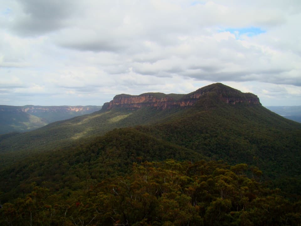
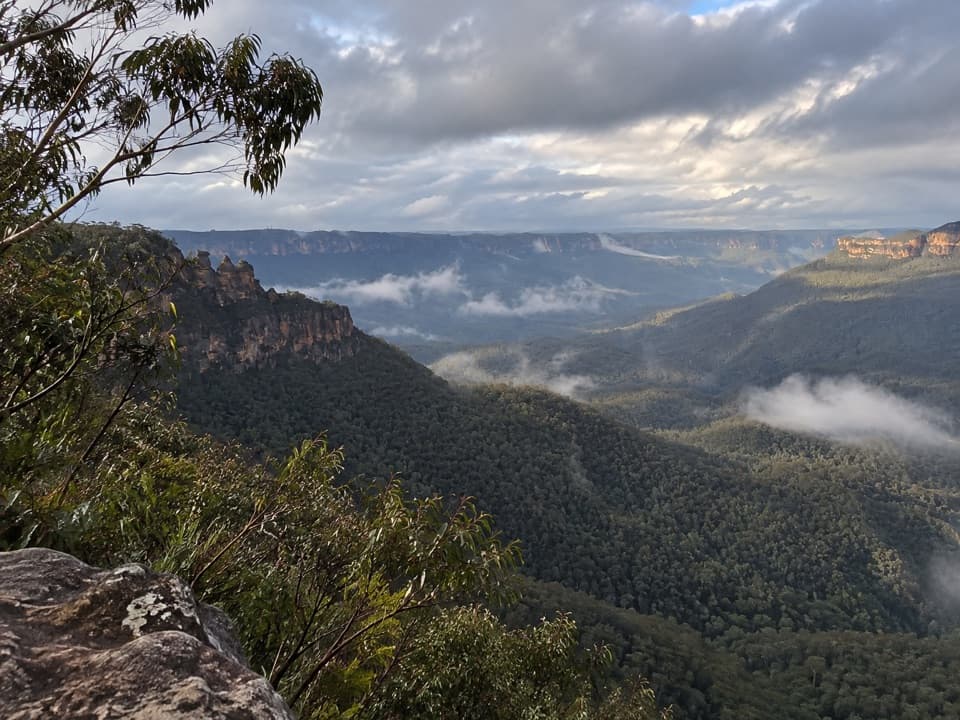
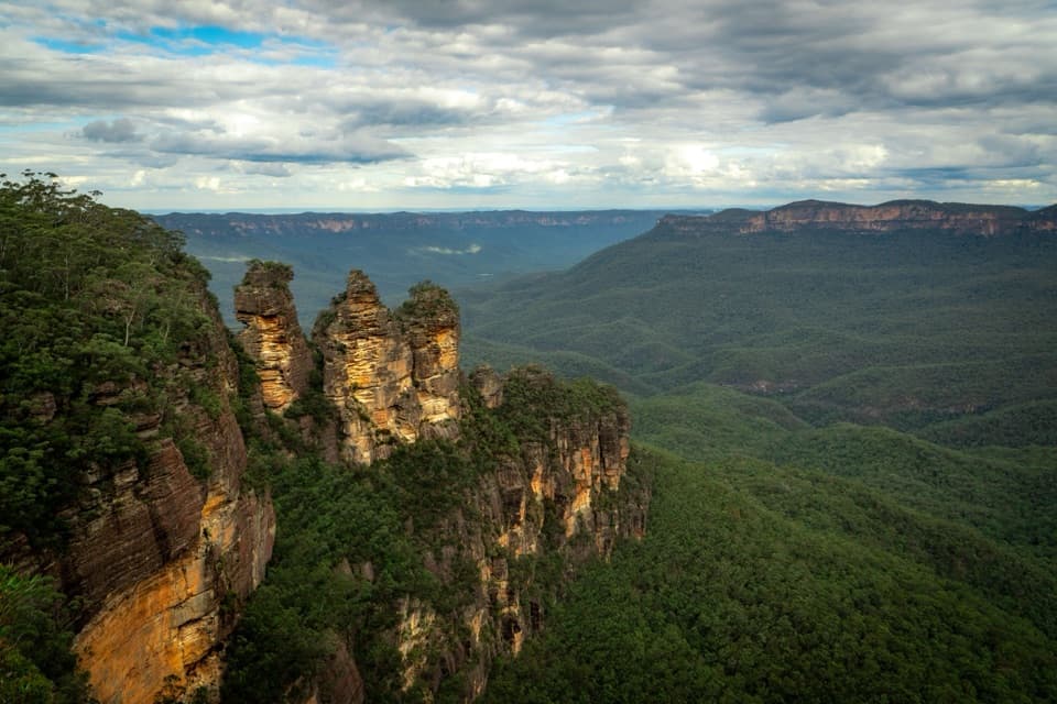
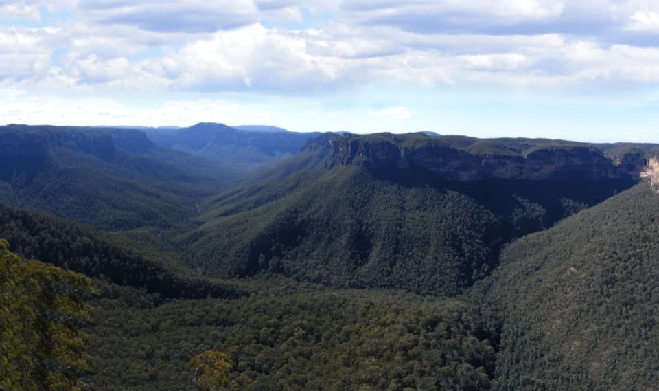
Perched at the start of the Narrow Neck Peninsula just southwest of central Katoomba, this roadside lookout dishes up huge, cliff-framed vistas with almost no effort. It sits on a slim plateau that drops away on both sides, neatly dividing the Jamison Valley to the east and the Megalong Valley to the west. It’s a quick stop with big scenery, and it doubles as the gateway to the classic Narrow Neck trail.

What You'll See

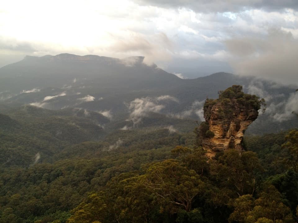
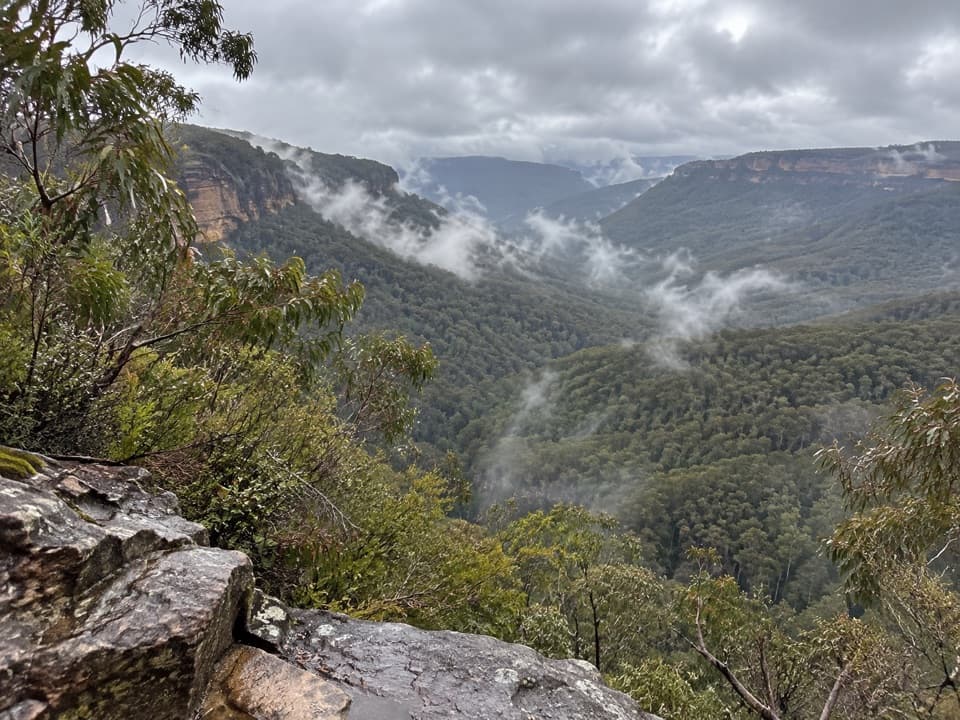
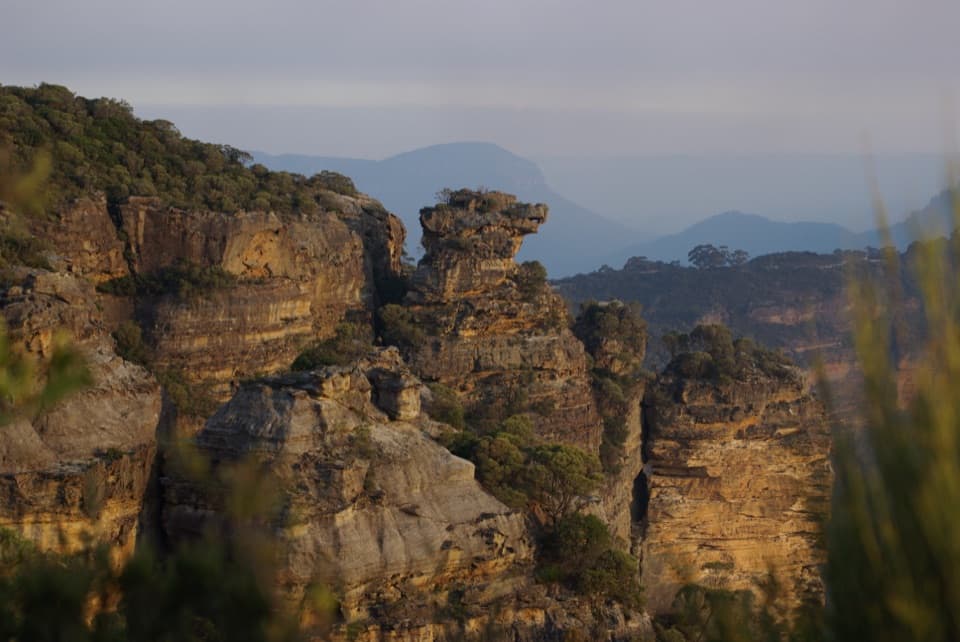
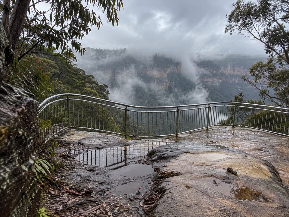
Expect sweeping sandstone escarpments, deep forested valleys, and that “on top of the world” feeling as the ridge narrows. In spring and summer, you’ll notice wildflowers along the plateau. On clear days, the views run for many kilometers; on cool mornings you can sometimes catch low cloud pouring over the cliffs for moody photos.

Trails and Activities

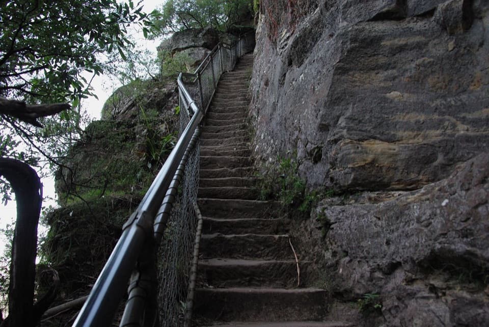
Beyond the lookout’s parking area, a locked gate marks the start of the Narrow Neck trail—popular with both walkers and mountain bikers. Many people make this a short scenic stop; others turn it into a half‑day out‑and‑back along the ridge. Plan properly if you’re heading beyond the lookout: the plateau feels remote and the trail is exposed in places.

Wildlife

Birders do well here—listen and watch for lyrebirds, cockatoos, and honeyeaters along the ridge. Wallabies, echidnas, and reptiles turn up occasionally, though you’re more likely to spot them once you’re a little farther from the road.

Practicalities

There are no facilities at the lookout: no toilets, water, or shelter. Parking is informal and limited. It’s free to visit and accessible around the clock, but conditions can be windy and exposed—pack a layer and sun protection. Mobile reception can be patchy once you move away from town.

Geology & History

Narrow Neck is a Triassic sandstone plateau sculpted by millions of years of erosion into a dramatic, cliff‑edged “neck.” The ridge has long been a route across country—used by Aboriginal peoples—and later saw prospectors and miners cut passes and tracks. Glenraphael Drive, the service road along the plateau, dates to the late 1950s, originally for firefighting access.

Best Time to Visit

  • Light: Sunrise and late afternoon give the most flattering, low‑angle light and calmer crowds.
  • Crowds: Weekends—especially Saturday early afternoon—are the busiest. Midweek mornings are quieter. Most visitors stay up to about 45 minutes.
  • Weather: After rain, the unsealed sections can be rough; go slow and reassess plans if conditions worsen.

If You’re Going Beyond the Lookout

If you’re walking or riding the ridge, allow 5–6 hours return for the standard out‑and‑back, carry plenty of water and food, and take navigation. Consider a personal locator beacon; the area feels wild quickly and cliff edges demand care.

Pros

  • Wide-angle views over both Jamison and Megalong valleys
  • Immediate access to the Narrow Neck trail for hiking and mountain biking

Cons

  • No toilets, water or shelter at the lookout
  • Road and parking are basic; surface can be rough after rain

Tips

  • Aim for sunrise or late afternoon for the best light and softer winds.
  • Bring all the water and snacks you need—there’s nothing out here.
  • If continuing along the plateau, allow 5–6 hours return and carry navigation.
  • Expect exposure near cliff edges; keep well back in windy conditions.
  • Drive slowly on Glenraphael Drive; the surface can be rough after rain.
The Parkwolf tour guide sitting on a phone mounted in a car

Parkwolf Tour Guide

Like a tour guide in your car.

Save the places you found around Blue Mountains, then let Parkwolf guide the drive between them.Download Parkwolf on the App Store