
Place · 0 mi away
Moderate
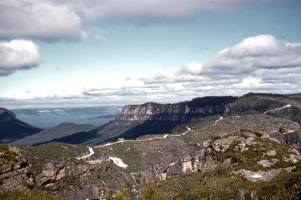
This is the archetypal Blue Mountains ridge walk: a long, skinny peninsula running south from Katoomba with cliffs dropping to the Jamison Valley on one side and the Megalong on the other. Expect a straightforward management road underfoot, big sky above, and long miles. The full out-and-back is about 19 km total (roughly 9.5 km each way), typically taking 5–6 hours on foot. It’s graded medium: the challenge is distance, exposure, and some punchy climbs rather than tricky footing.
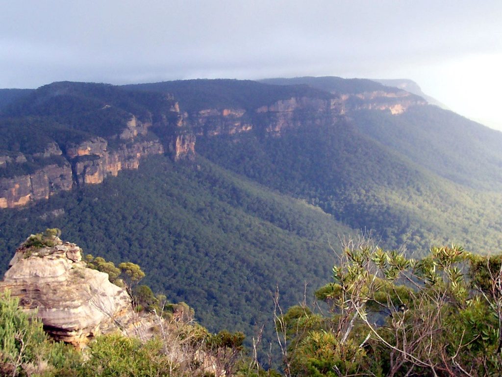
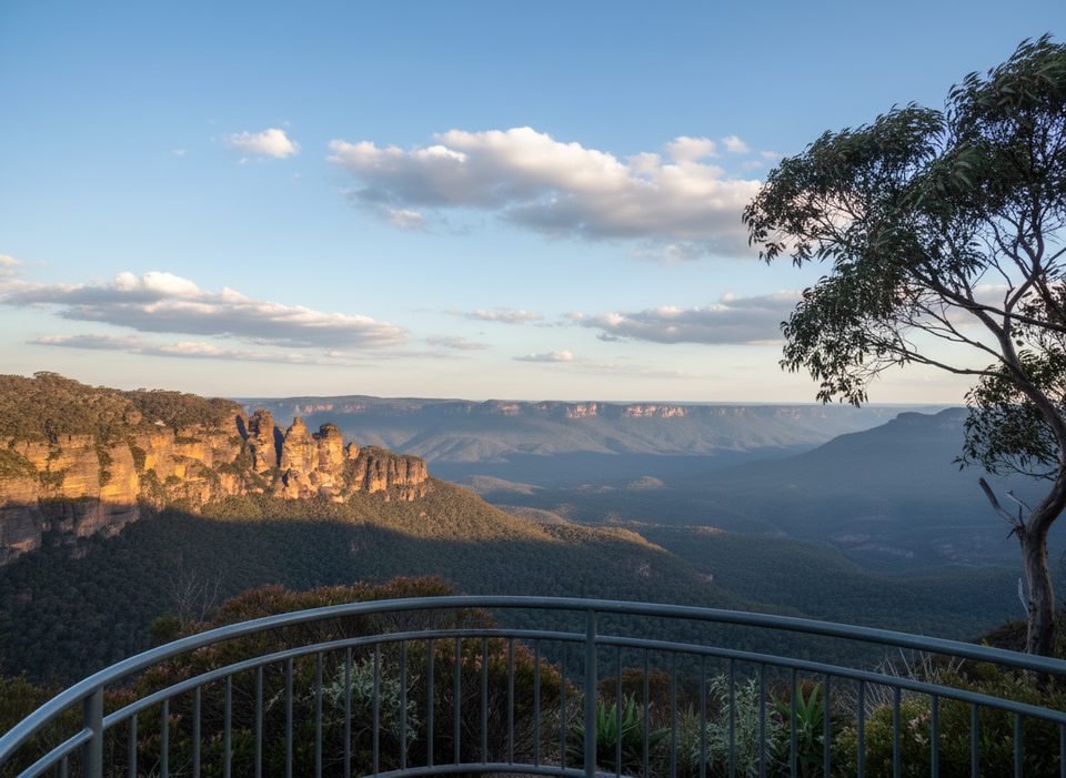
Views are the point here. You’ll get that “top of the world” feel as the plateau narrows and the country falls away on both sides. Clear days reveal layers of sandstone escarpments, deep green valleys, and far horizons. Vegetation shifts between eucalypt forest, heath, and swampland pockets; spring often brings a flush of wildflowers. Birdlife is a constant companion—listen for lyrebirds mimicking and cockatoos squabbling overhead.
The route follows a wide, unsealed fire trail with easy navigation but little shade. The initial kilometres are relatively gentle before rolling climbs and descents start to bite; exposed sections can be windy. Facilities are minimal—there’s a basic pit toilet about 7 km in that isn’t always operational—so plan to be self-sufficient. As you push farther from Katoomba, the crowds thin quickly and it starts to feel properly remote, especially on weekdays. Mountain bikers use this road too; expect to share and keep right at blind rises.
Spring and autumn deliver the sweet spot: moderate temps, clearer air for long views, and seasonal wildflowers. Summer can be harsh on this sunbaked ridge—start very early, carry extra water, and chase the morning light for the best photography. Winter brings crisp visibility but also cold winds across the plateau; pack layers and a warm shell. Aim for clear-weather days—fog can roll in and erase your panorama (and your sense of direction) fast.
Start near Narrow Neck Lookout and pass the locked gate onto the management road along the ridge. Bring 2–3 litres of water per person (there’s none on trail), sun protection, and enough calories for a full day. Navigation is simple, but exposed weather and occasional fog demand caution—carry a map/GPS. Submit a trip intention and consider a PLB; mobile reception can be patchy. If you’re riding, expect some steep pinches and rough sections. For walkers, choose a turnaround that fits your day—going the full length is rewarding but committing.
Narrow Neck is classic Triassic sandstone country: a long, eroded ridge capped by hard rock with sheer drops into the surrounding valleys. The area holds deep cultural significance, with long Aboriginal use of passes and routes across this country; treat the landscape with care and respect.
Park near Narrow Neck Lookout; access the locked gate trailhead via Glenraphael Drive (unsealed and rough in places).
Long, exposed ridgeline with steep drops nearby, little shade, and no water; carry 2–3 L per person, watch wind and fog, share the road with bikes, and consider submitting a trip intention and carrying a PLB.
Place · 0 mi away
Place · 0.5 mi away
Place · 0.5 mi away
Place · 0.5 mi away
Challenging · 0.4 mi away
Moderate · 0.5 mi away
Easy · 0.6 mi away
Moderate · 0.6 mi away

Parkwolf Tour Guide
