
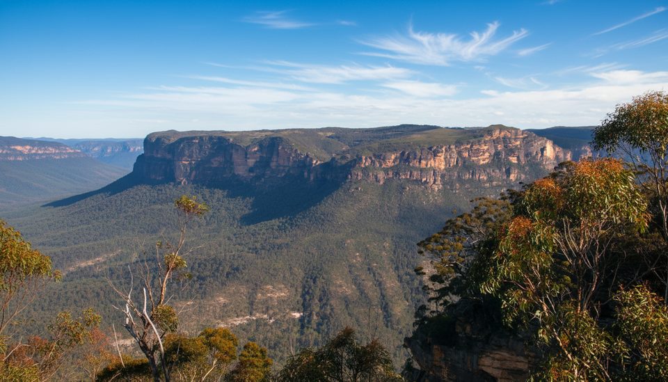
Place · 0 mi away
Challenging
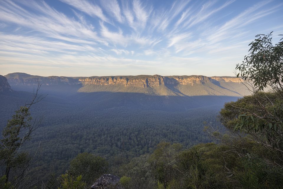
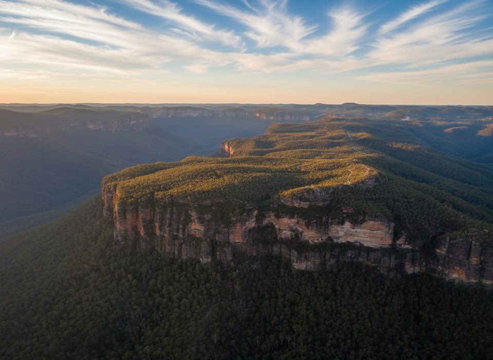
This is the Blue Mountains distilled: huge cliff‑top views, a fast plunge into the Grose Valley, and time among the majestic Deane’s blue gums. It’s an out‑and‑back from Perrys Lookdown near Blackheath down to Blue Gum Forest and back the same way. Expect roughly 2.5 miles total (about 4 km) return, but some trackers report closer to 3–3.4 miles depending on detours and GPS drift. The catch: every glorious metre you drop, you must climb back.
You start with sweeping vistas from Perrys Lookdown, then the track tips over the escarpment and gets steep fast. It’s a rough bush track with long runs of stone and dirt steps, some loose, sometimes slippery after rain. The descent threads rocky outcrops and open forest, then eases onto the valley floor where the blue gums soar overhead and the atmosphere turns cool and quiet. The climb out is sustained and punchy—pace yourself and bring plenty of water.
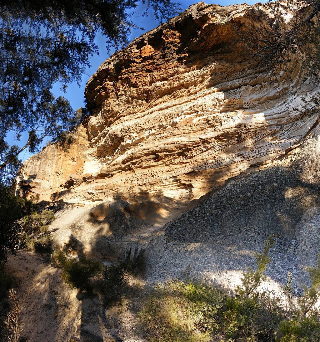
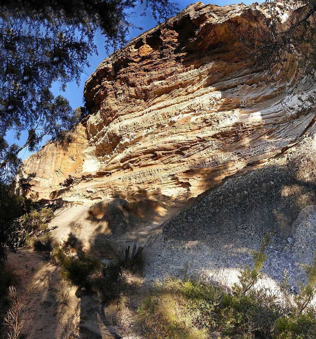
The lookouts frame classic Grose Valley geology—towering Triassic sandstone cliffs guarding a broad, forested basin. Down below, fertile alluvial soils support the famous stand of Deane’s blue gums, with lush undergrowth and ferns. Keep an ear out for birdlife: gang‑gang cockatoos, yellow‑tailed black cockatoos, and the bell miner’s tinkling call are all possible here.
If you’re fit and enjoy a short, sharp workout with big rewards, this is a must‑do. If steep climbs or lots of steps aren’t your thing, or you’re new to bushwalking, pick a rim‑top lookout day instead. The track is well‑used and straightforward in good weather, but it’s exposed in places and can be treacherous when wet.
Spring and autumn nail the balance of cooler temps, wildflowers, and clear views. Summer can be oppressive on the climb out—go early and take extra water. Winter brings crisp air and fewer people, but the descent can be icy or slippery after rain, and mornings can be frosty.
Park at Perrys Lookdown picnic area at the end of Hat Hill Road near Blackheath; small cliff‑top carpark with basic picnic facilities and toilets.
Very steep with many steps; slippery after rain; exposed cliff sections; no drinking water; suited to experienced, fit walkers only.
Place · 0 mi away
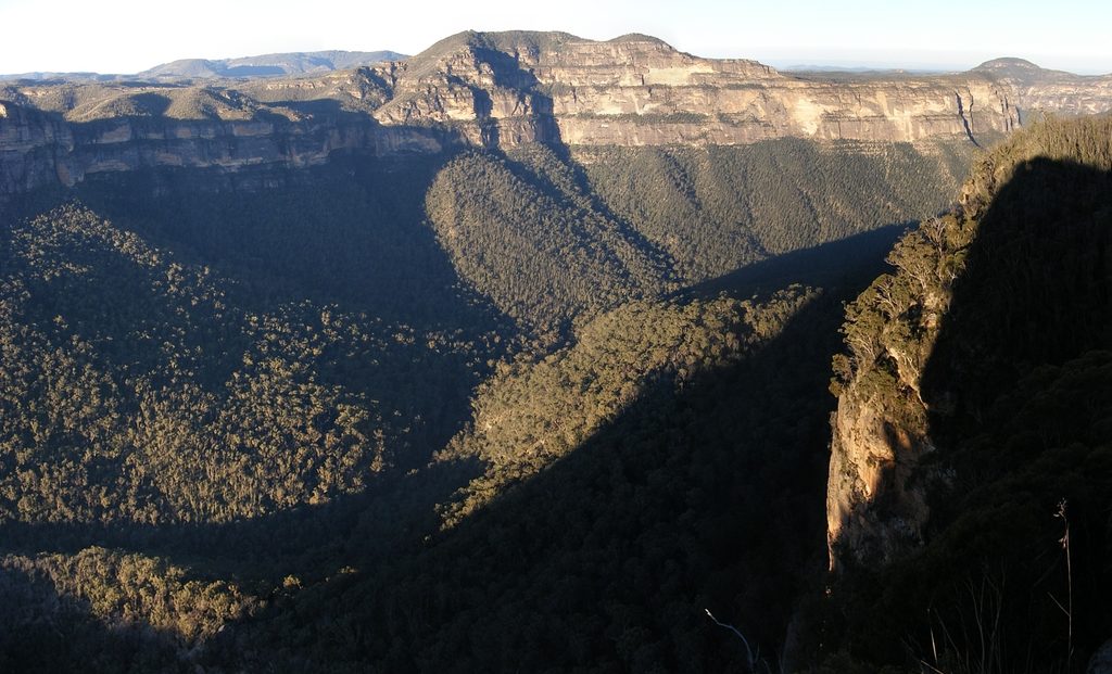
Place · 0 mi away
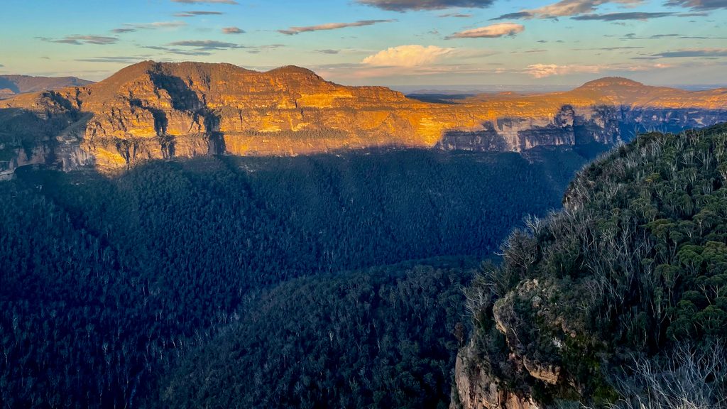
Place · 0.6 mi away
Place · 0.6 mi away
Easy · 0.6 mi away
Challenging · 1.7 mi away
Challenging · 1.8 mi away
Challenging · 2.1 mi away

Parkwolf Tour Guide
